Elevation of Barnhart, Barnhart, TX, USA
Location: United States > Texas > Irion County > Barnhart >
Longitude: -101.17586
Latitude: 31.12443
Elevation: 799m / 2621feet
Barometric Pressure: 92KPa
Elevation Map:
Satellite Map:
Related Photos:

A beautiful sunset on a beautiful day!

#abandoned #abandonedtx #vintage #urbex #rurex #urbanexploration
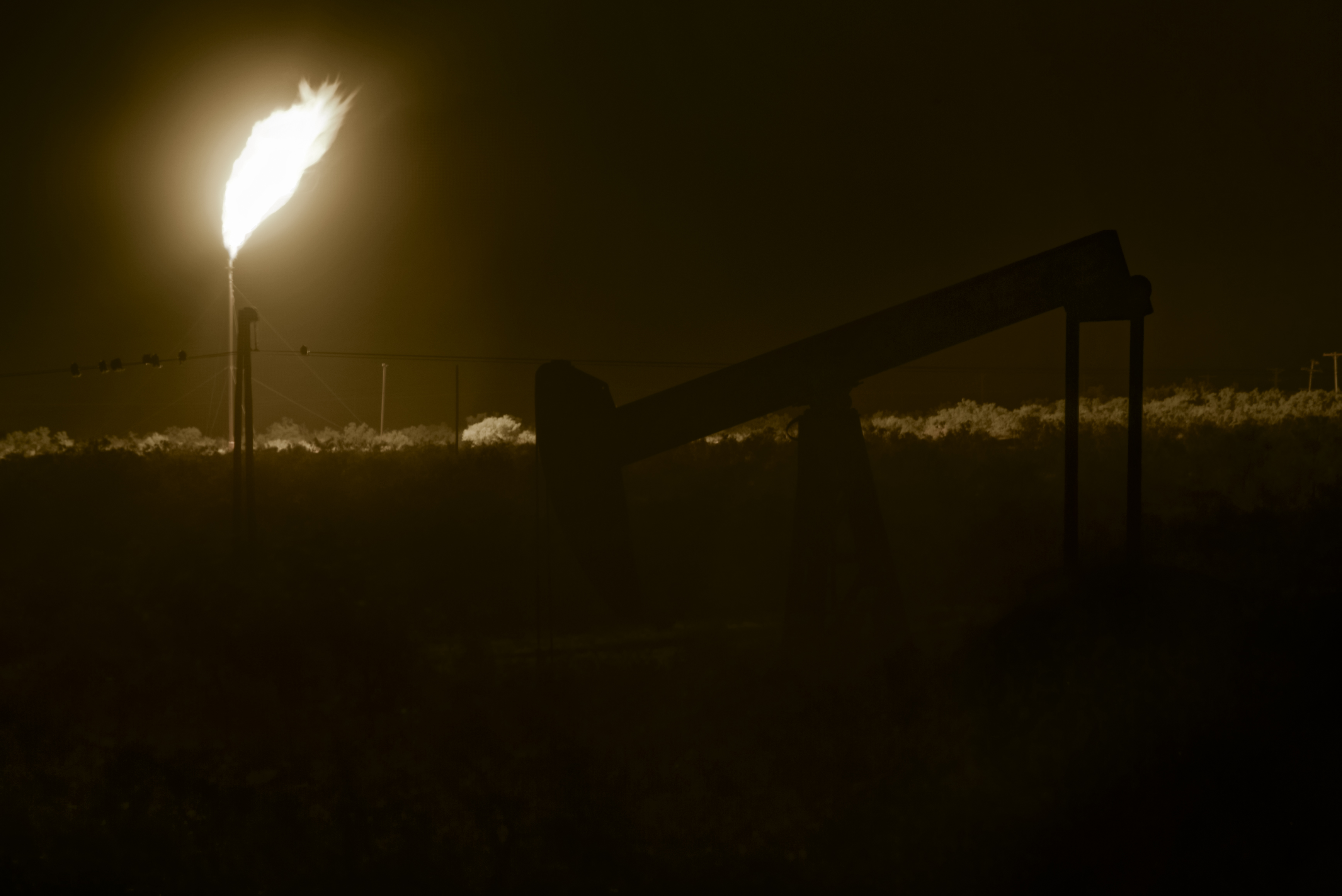
Pump and Fire

Yellow Rose
Topographic Map of Barnhart, Barnhart, TX, USA
Find elevation by address:

Places near Barnhart, Barnhart, TX, USA:
Barnhart
Edwards Plateau
Irion County
Wabash Ave, Mertzon, TX, USA
RM, Mertzon, TX, USA
12977 Dove Creek Ln W
12977 Spring Creek Ln
11706 Spring Creek Ln
11450 Spring Creek Ln
11377 Spring Creek Ln
11277 Spring Creek Ln
11277 Spring Creek Ln
11253 Spring Creek Ln
11253 Spring Creek Ln
11253 Spring Creek Ln
11277 Spring Creek Ln
11289 Spring Creek Ln
Allen Road
7278 Candice Rd
7278 Candice Rd
Recent Searches:
- Elevation of Corso Fratelli Cairoli, 35, Macerata MC, Italy
- Elevation of Tallevast Rd, Sarasota, FL, USA
- Elevation of 4th St E, Sonoma, CA, USA
- Elevation of Black Hollow Rd, Pennsdale, PA, USA
- Elevation of Oakland Ave, Williamsport, PA, USA
- Elevation of Pedrógão Grande, Portugal
- Elevation of Klee Dr, Martinsburg, WV, USA
- Elevation of Via Roma, Pieranica CR, Italy
- Elevation of Tavkvetili Mountain, Georgia
- Elevation of Hartfords Bluff Cir, Mt Pleasant, SC, USA