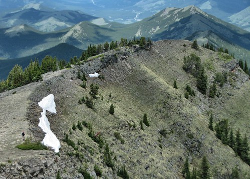
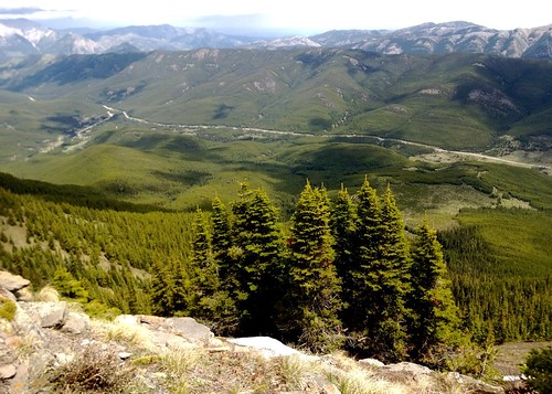
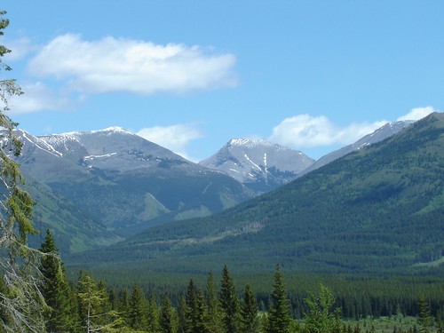
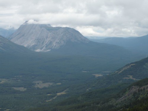
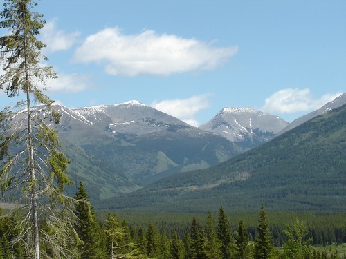
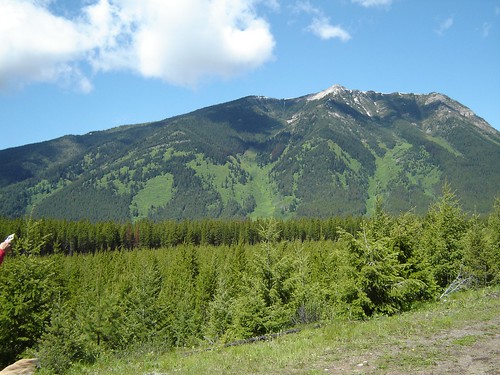
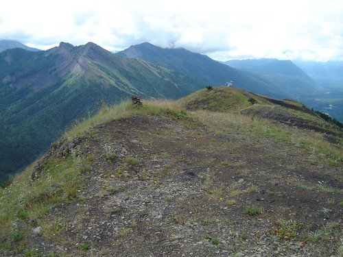
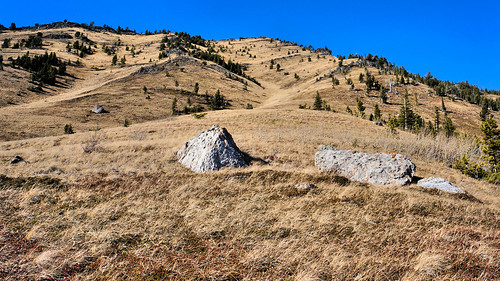
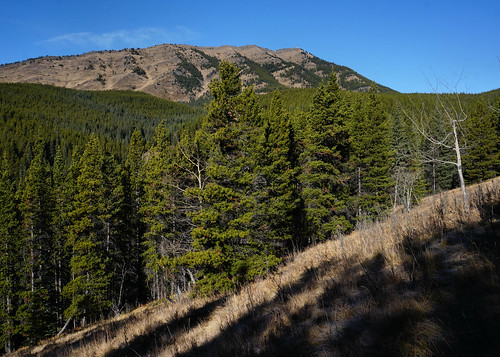
Elevation of Baril Peak, Kananaskis, AB T0L, Canada
Location: Canada > Alberta > Longview >
Longitude: -114.75611
Latitude: 50.2994444
Elevation: 2935m / 9629feet
Barometric Pressure: 71KPa
Related Photos:
Topographic Map of Baril Peak, Kananaskis, AB T0L, Canada
Find elevation by address:

Places near Baril Peak, Kananaskis, AB T0L, Canada:
Mount Cornwell
Mount Etherington
Mount Armstrong
Courcelette Peak
Gill Peak
Mount Scrimger
Mount Maclaren
Mount Shankland
Courcelette Nw3
Courcelette Nw2
Mount Farquhar
Mount Pierce
Mount Strachan
Mount Veits
Muir Sw2
Mount Tuxford
O'rourke W3
Weary Ridge
Mount Mcphail
Gass N3
Recent Searches:
- Elevation of Corso Fratelli Cairoli, 35, Macerata MC, Italy
- Elevation of Tallevast Rd, Sarasota, FL, USA
- Elevation of 4th St E, Sonoma, CA, USA
- Elevation of Black Hollow Rd, Pennsdale, PA, USA
- Elevation of Oakland Ave, Williamsport, PA, USA
- Elevation of Pedrógão Grande, Portugal
- Elevation of Klee Dr, Martinsburg, WV, USA
- Elevation of Via Roma, Pieranica CR, Italy
- Elevation of Tavkvetili Mountain, Georgia
- Elevation of Hartfords Bluff Cir, Mt Pleasant, SC, USA
