Elevation of Baqubah, Iraq
Location: Iraq > Diyala Governorate > Muqdadiyah >
Longitude: 44.6066578
Latitude: 33.7596413
Elevation: 43m / 141feet
Barometric Pressure: 101KPa
Elevation Map:
Satellite Map:
Related Photos:

Saba alaa

Refugee Camp Baqubah (R. Diyalah)
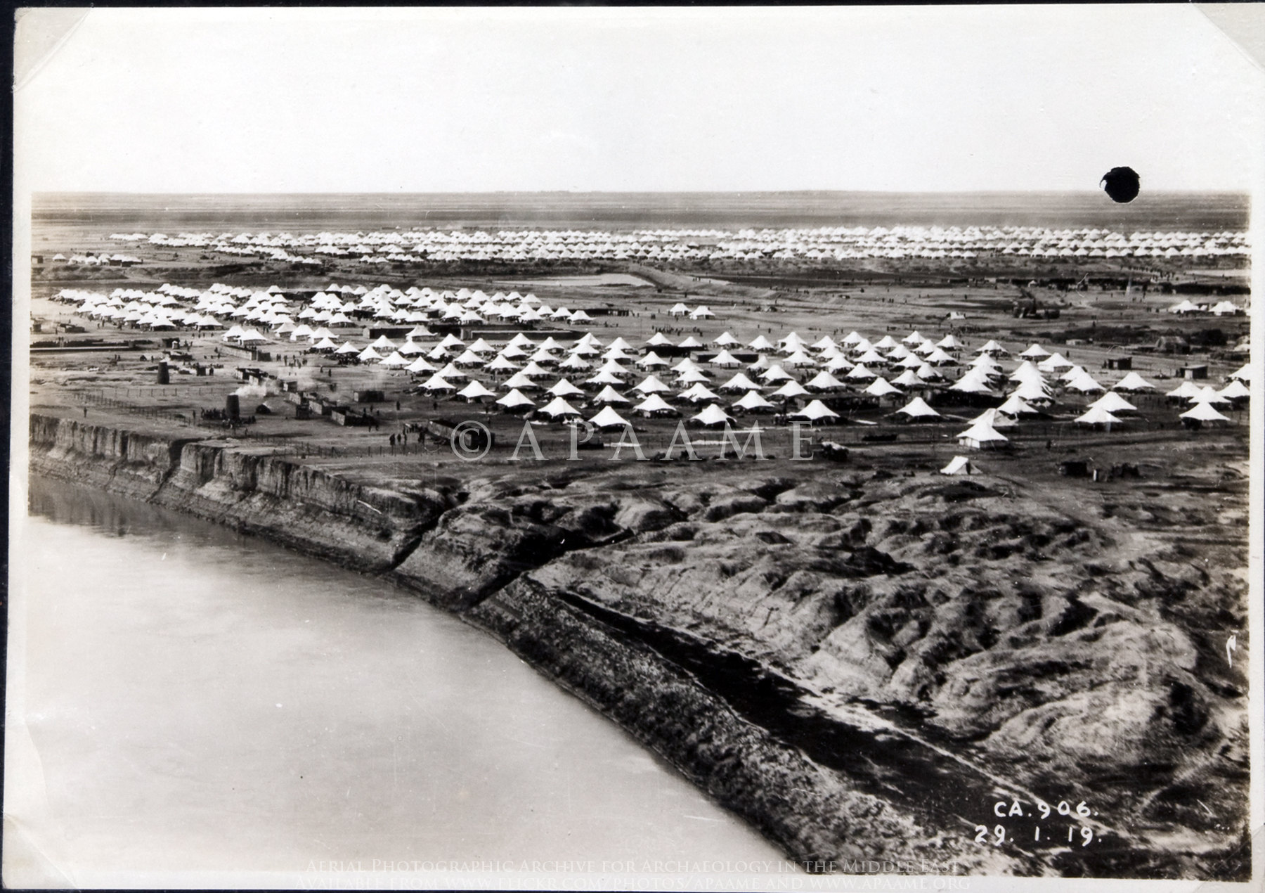
Refugee Camp Baqubah (R. Diyalah)

Refugee Camp Baqubah (R. Diyalah)
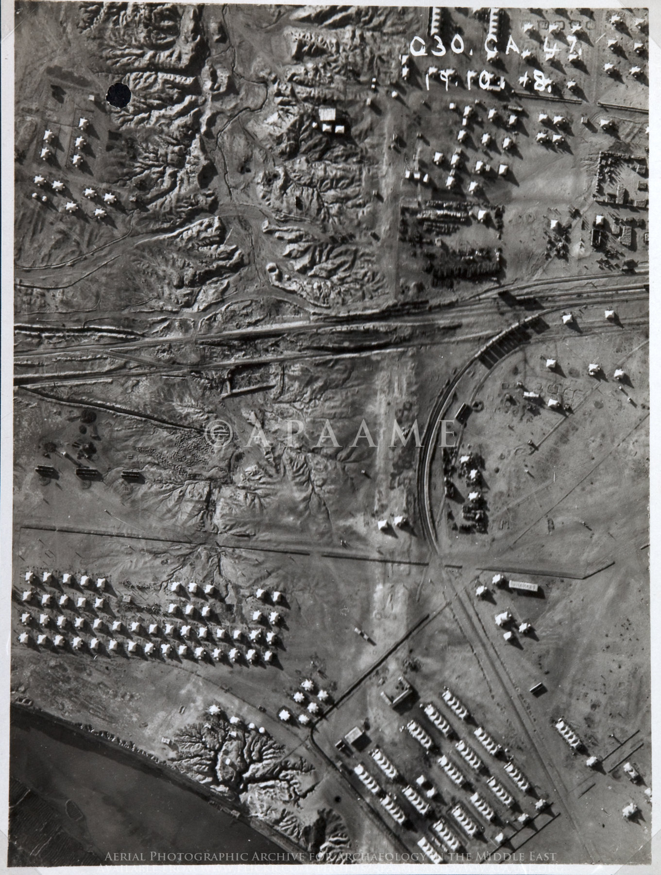
Railway near Baqubah

GUNDUL MANIS
Odd Decor
Facebook-iraq-innout
Topographic Map of Baqubah, Iraq
Find elevation by address:

Places near Baqubah, Iraq:
Recent Searches:
- Elevation of Leyte Industrial Development Estate, Isabel, Leyte, Philippines
- Elevation of W Granada St, Tampa, FL, USA
- Elevation of Pykes Down, Ivybridge PL21 0BY, UK
- Elevation of Jalan Senandin, Lutong, Miri, Sarawak, Malaysia
- Elevation of Bilohirs'k
- Elevation of 30 Oak Lawn Dr, Barkhamsted, CT, USA
- Elevation of Luther Road, Luther Rd, Auburn, CA, USA
- Elevation of Unnamed Road, Respublika Severnaya Osetiya — Alaniya, Russia
- Elevation of Verkhny Fiagdon, North Ossetia–Alania Republic, Russia
- Elevation of F. Viola Hiway, San Rafael, Bulacan, Philippines