Elevation of Banja Luka, Bosnia and Herzegovina
Location: Bosnia And Herzegovina > Republika Srpska >
Longitude: 17.191
Latitude: 44.7721811
Elevation: -10000m / -32808feet
Barometric Pressure: 295KPa
Elevation Map:
Satellite Map:
Related Photos:

hotel view

View over the town

View over Banja Luka

Redemption Mosque

Harbour Redemption

Kastel Fortress

My hometown

Autumn in Banja Luka

River Vrbas in Banja Luka

Restoran Yachting Club

rijeka Vrbas

Rijeka Vrbas

Restoran Yachting Club
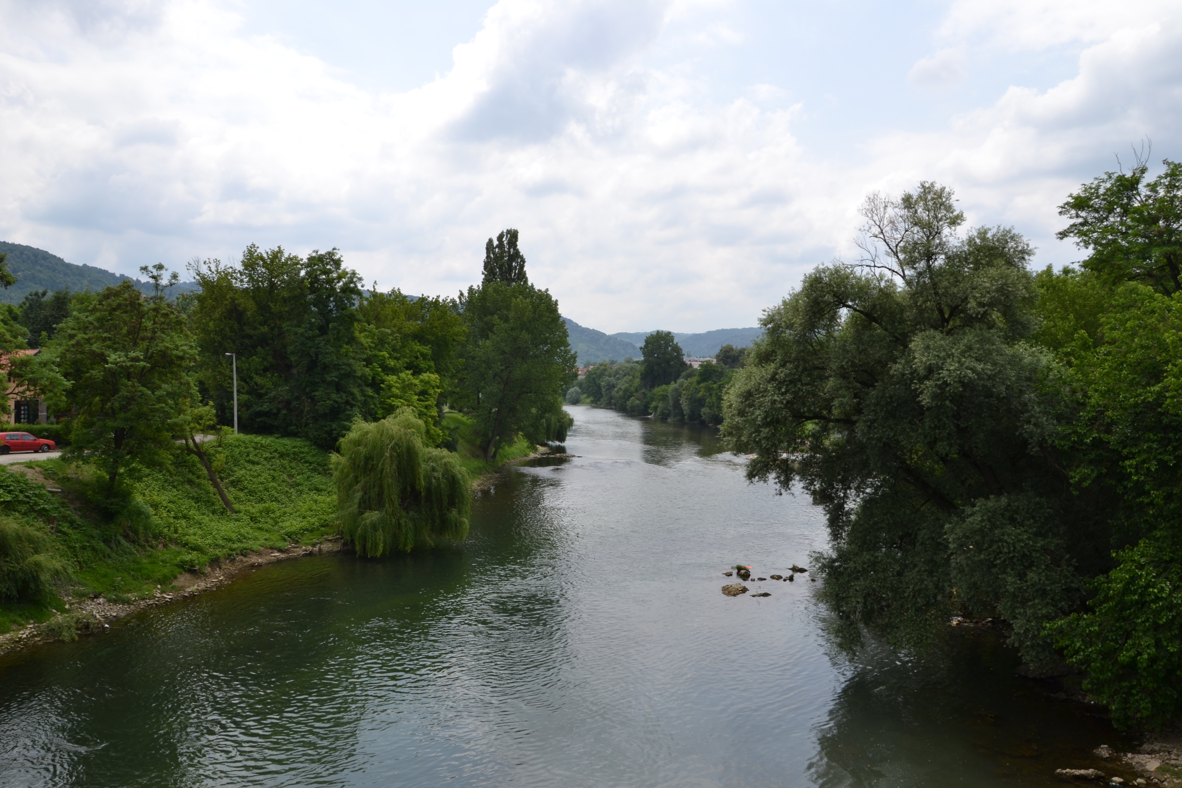
rijeka Vrbas

rijeka Vrbas
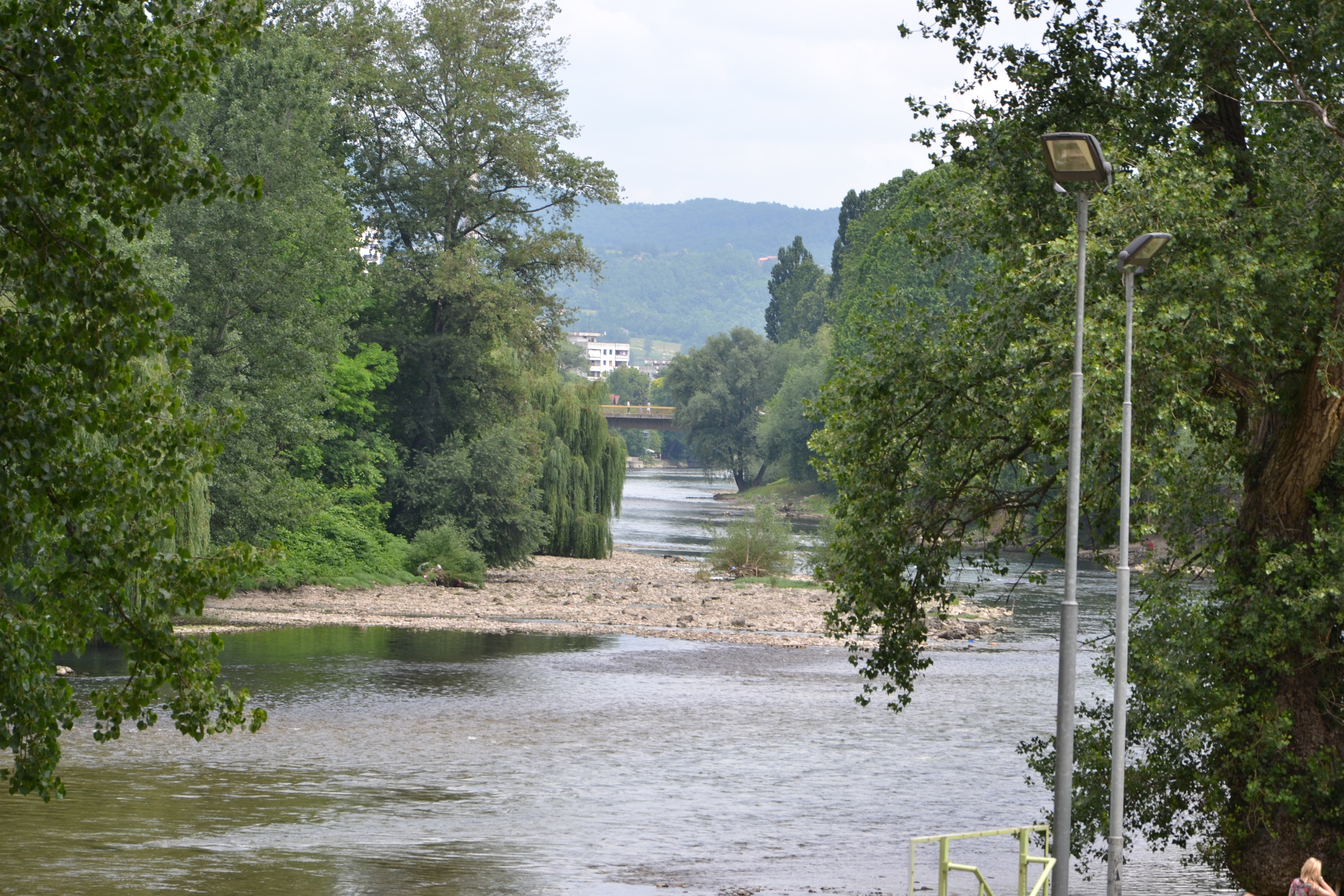
rijeka Vrbas

Banja Luka, Republic of Srpska, BiH

rijeka Vrbas

Old bridge

banja luka

Panorama 12

#lumia920

Banja Luka

Banja Luka and Vrbas
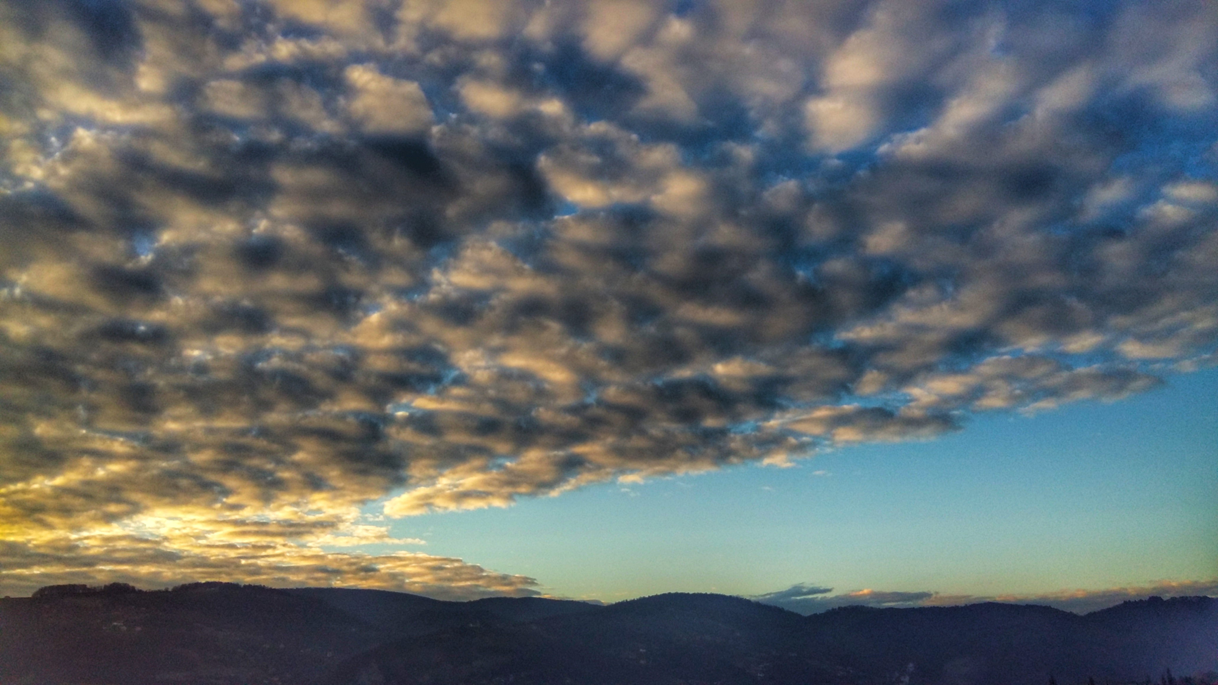
Morning clouds
Topographic Map of Banja Luka, Bosnia and Herzegovina
Find elevation by address:

Places near Banja Luka, Bosnia and Herzegovina:
Бања Лука
Knjaza Miloša 98, Banja Luka, Bosnia and Herzegovina
Jablan
Republika Srpska
Banja Luka International Airport
Mahovljani
Vwjp+f66
Mrkonjić Grad
Podbrdo
Jajce
Travnik
Vlašić
Derventa
Bugojno
Central Bosnia Canton
Tešanj
Canton 10
Zenica
Smetovi
Livno
Recent Searches:
- Elevation of W Granada St, Tampa, FL, USA
- Elevation of Pykes Down, Ivybridge PL21 0BY, UK
- Elevation of Jalan Senandin, Lutong, Miri, Sarawak, Malaysia
- Elevation of Bilohirs'k
- Elevation of 30 Oak Lawn Dr, Barkhamsted, CT, USA
- Elevation of Luther Road, Luther Rd, Auburn, CA, USA
- Elevation of Unnamed Road, Respublika Severnaya Osetiya — Alaniya, Russia
- Elevation of Verkhny Fiagdon, North Ossetia–Alania Republic, Russia
- Elevation of F. Viola Hiway, San Rafael, Bulacan, Philippines
- Elevation of Herbage Dr, Gulfport, MS, USA