Elevation of Bandana Drive, Bandana Dr, Celina, TX, USA
Location: United States > Texas > Collin County > Celina >
Longitude: -96.755782
Latitude: 33.3615116
Elevation: 240m / 787feet
Barometric Pressure: 98KPa
Elevation Map:
Satellite Map:
Related Photos:
Prosper Grain Silios
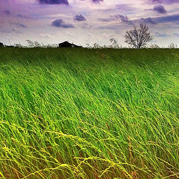
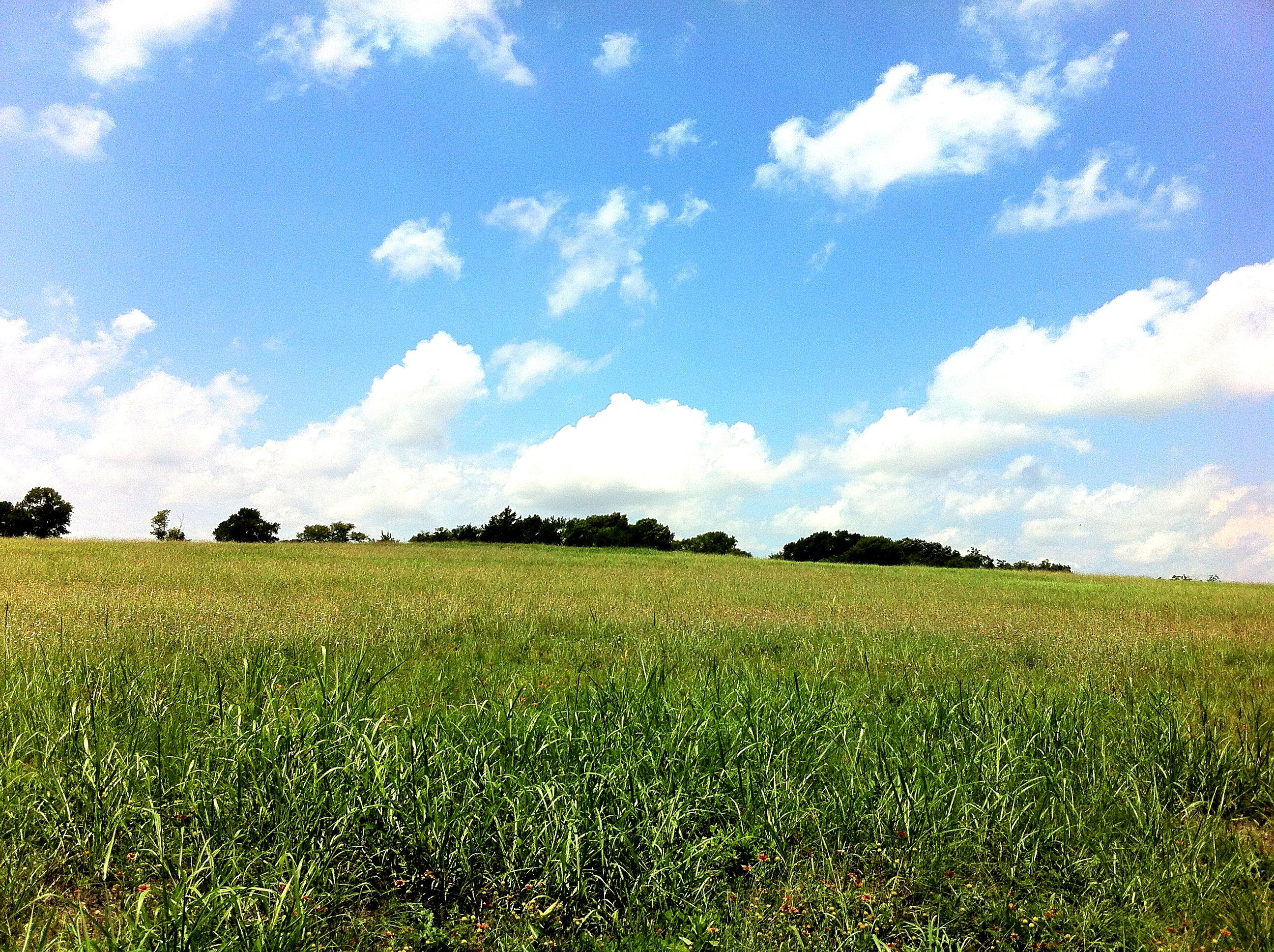
Prosper Valley
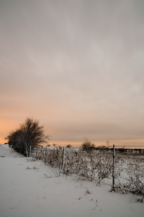
Prosper Farm in Snow
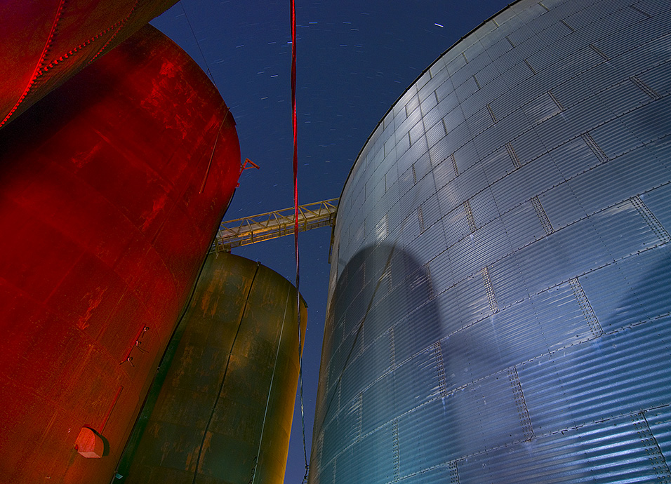
Red Silo at Night, Farmers' Delight
Is there a Message Hidden within the Cosmos?
Big Red & The Silver Silo
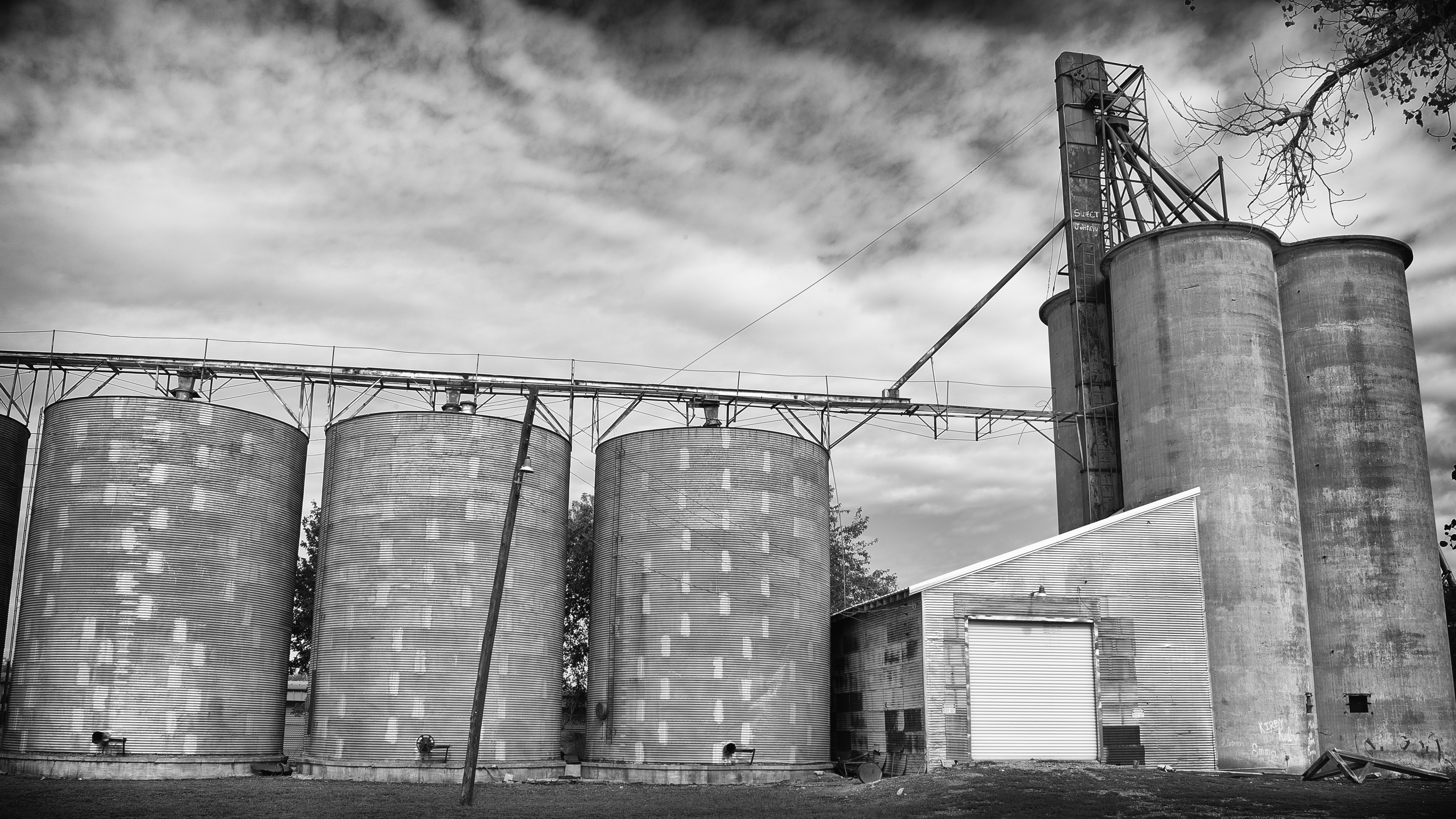
Sweet Johnny

Say a little prayer.

Happy Halloween

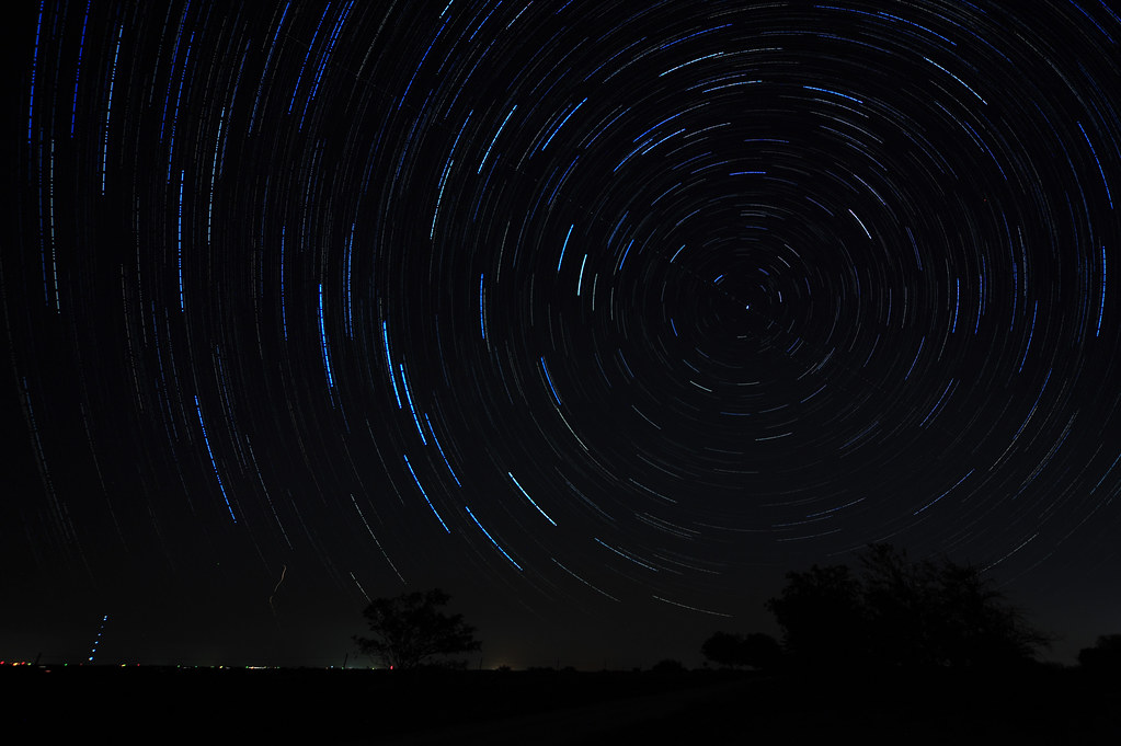
Starry Night

One Tree Hill

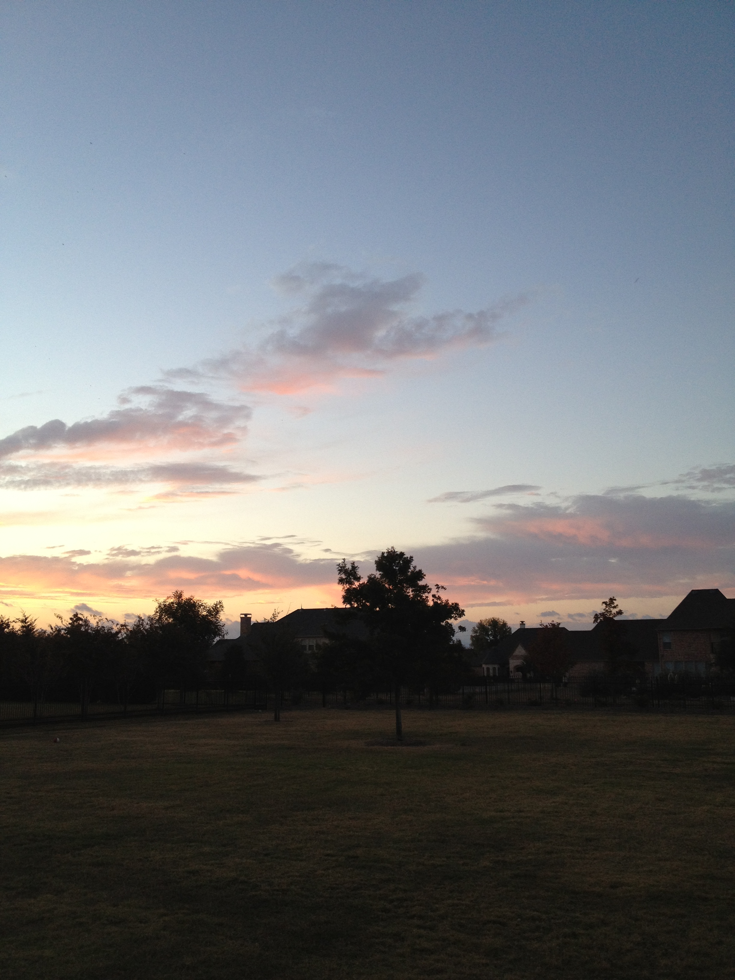
Sundown Creek
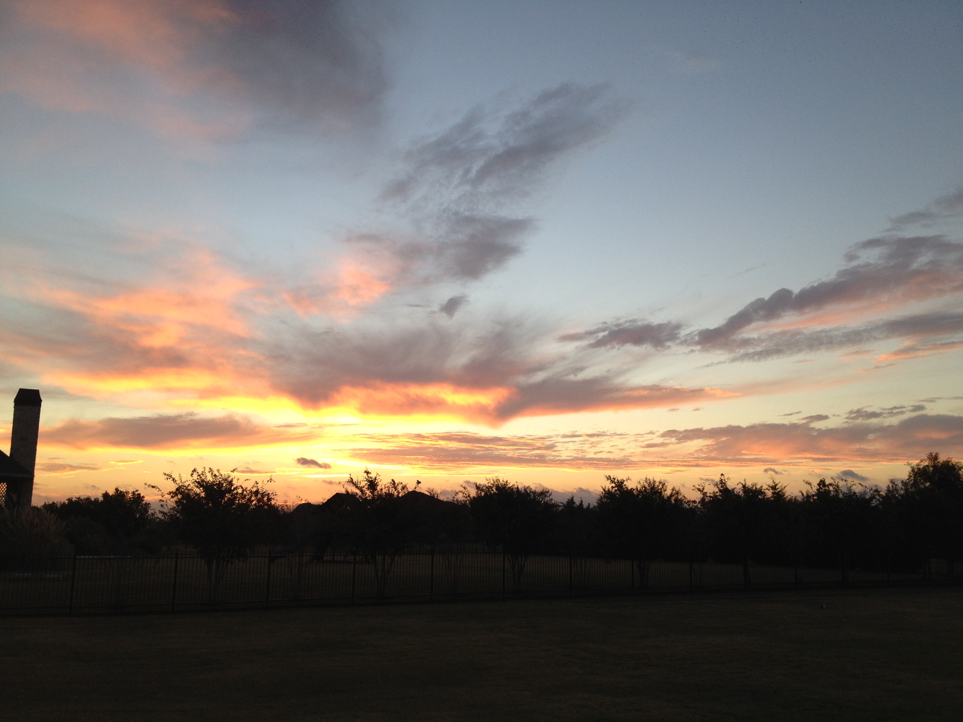
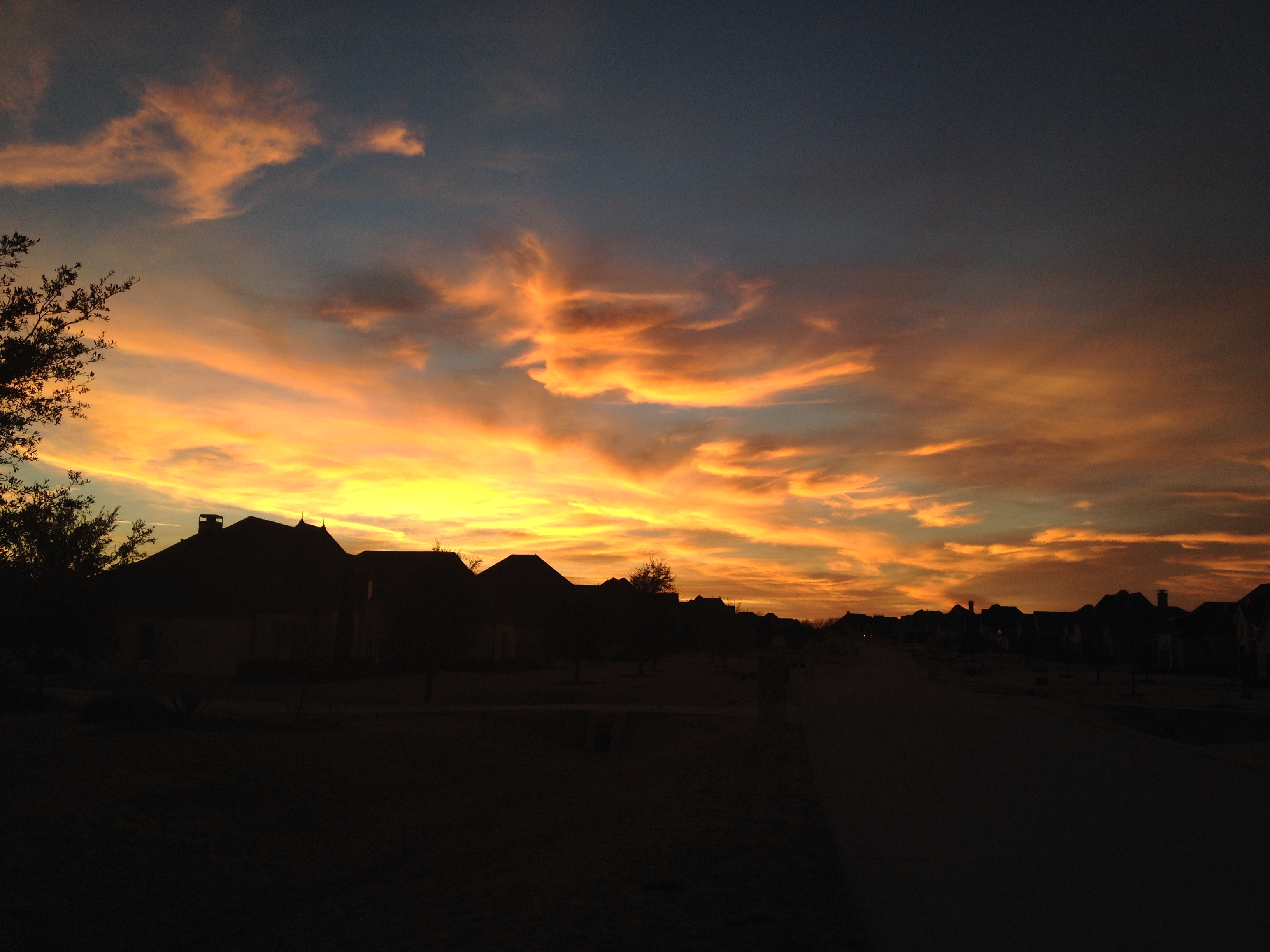
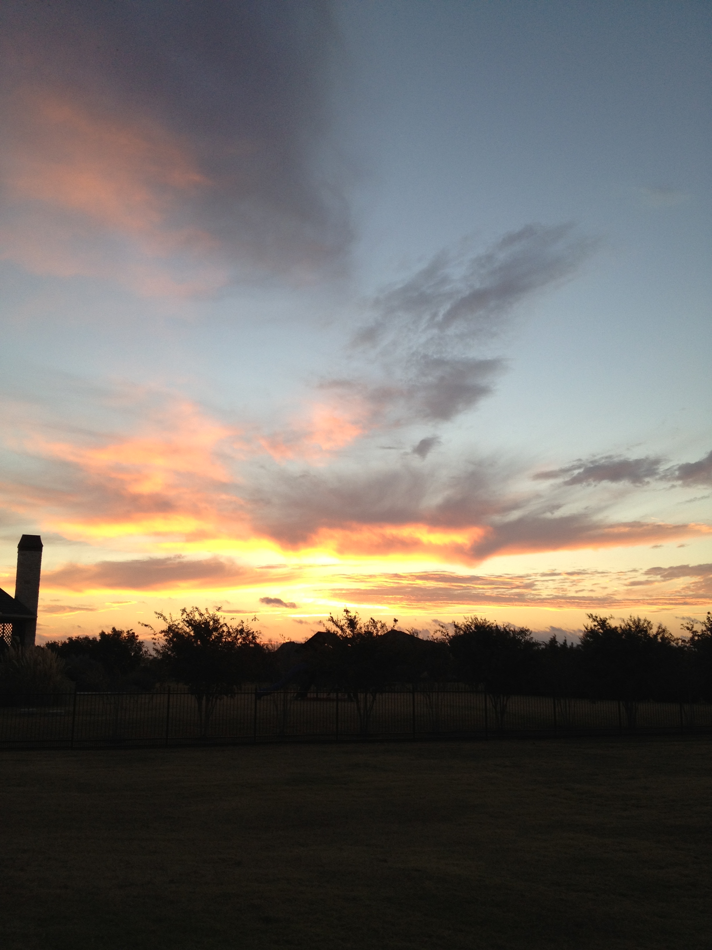
Sunset on Aubrey

Day 5: #fmsphotoaday #bright #sun #flare #road #igtexas #igersdfw #texasigers #texasgramers #jj #kellirh

Someday I'm finally gonna let go, Cuz I know there's a better way, And I wanna know what's over that rainbow, I'm gonna get out of here someday.
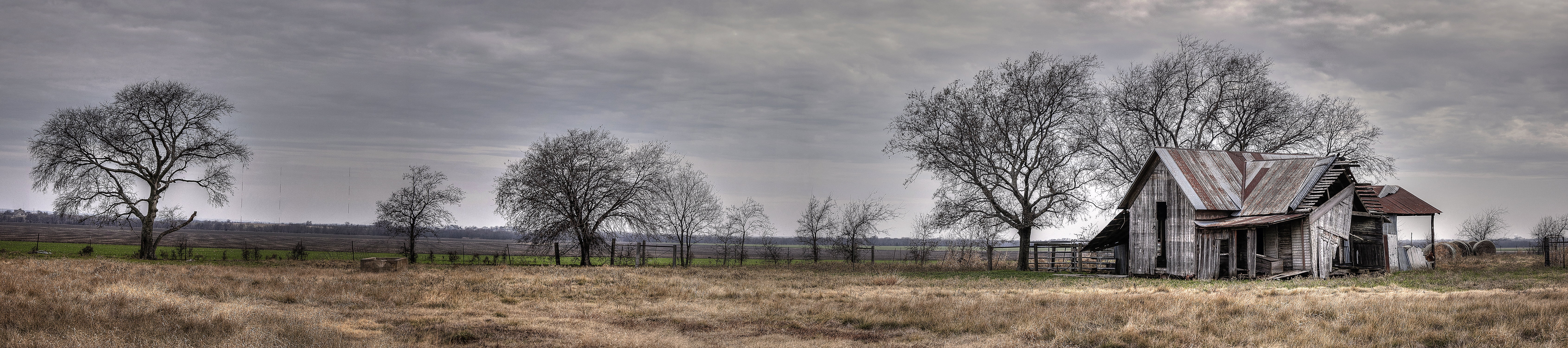
Prosper Farm Panoramic
I have no clue where I am, but it's gorgeous (I just picked someone else's location)! A Lazy #Field... Near #Oklahoma
2012-11-09 06.48.59
2014-02-15 18.19.13

2012-11-09 06.48.56

Mid flight #sky #texas #airplane
2012-11-09 06.49.05

Celina, Texas
2012-11-09 06.49.10

491731-R1-03-2 02 s
golden constant

DSC04540.jpg

Texas Flower
Erwin Park mountain bike trail. This is the large open field at the beginning.
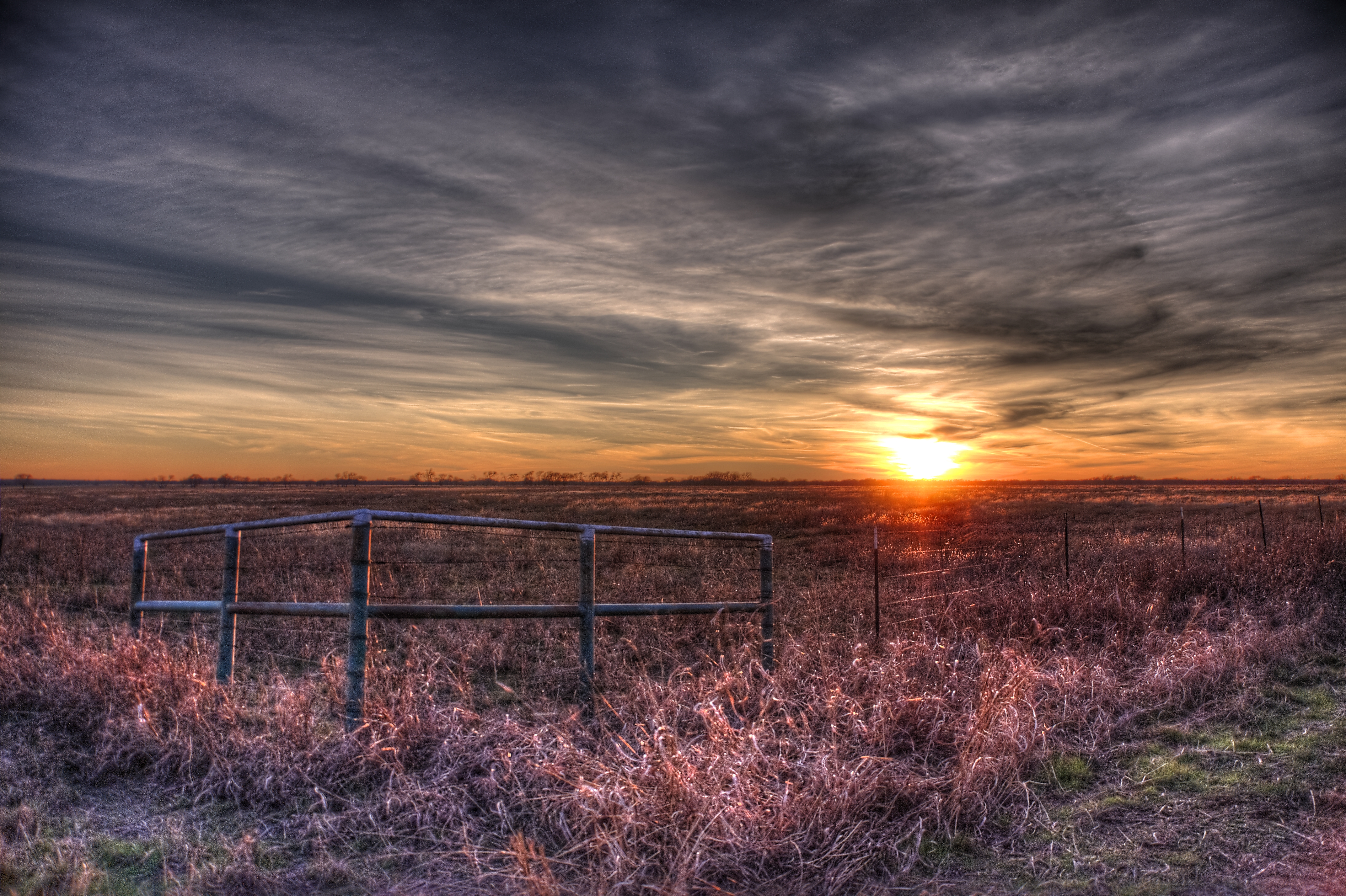
Colmena Ranch At Sunset
Topographic Map of Bandana Drive, Bandana Dr, Celina, TX, USA
Find elevation by address:

Places near Bandana Drive, Bandana Dr, Celina, TX, USA:
3455 N Preston Rd
1404 Bounds Ln
841 N Preston Rd
7494 Co Rd 134
Celina
7165 Co Rd 134
312 E Oak St
310 E Oak St
6802 Cottage Hill Ln
3809 Hereford Pass
1640 Winding Creek
N Custer Rd, Prosper, TX, USA
Shasta Lane
2817 Hackberry Creek Trail
1920 Beaver Trail
Prosper
Fishtrap Rd, Prosper, TX, USA
Bristleleaf Ln, Prosper, TX, USA
Windsong Ranch
5691 Coventry Drive
Recent Searches:
- Elevation of Corso Fratelli Cairoli, 35, Macerata MC, Italy
- Elevation of Tallevast Rd, Sarasota, FL, USA
- Elevation of 4th St E, Sonoma, CA, USA
- Elevation of Black Hollow Rd, Pennsdale, PA, USA
- Elevation of Oakland Ave, Williamsport, PA, USA
- Elevation of Pedrógão Grande, Portugal
- Elevation of Klee Dr, Martinsburg, WV, USA
- Elevation of Via Roma, Pieranica CR, Italy
- Elevation of Tavkvetili Mountain, Georgia
- Elevation of Hartfords Bluff Cir, Mt Pleasant, SC, USA