Elevation of Ban Trok Kea, Khon Hat, Cha-uat District, Nakhon Si Thammarat, Thailand
Location: Thailand > Nakhon Si Thammarat > Cha-uat > Cha-uat District >
Longitude: 100.021096
Latitude: 7.8730642
Elevation: 9m / 30feet
Barometric Pressure: 101KPa
Elevation Map:
Satellite Map:
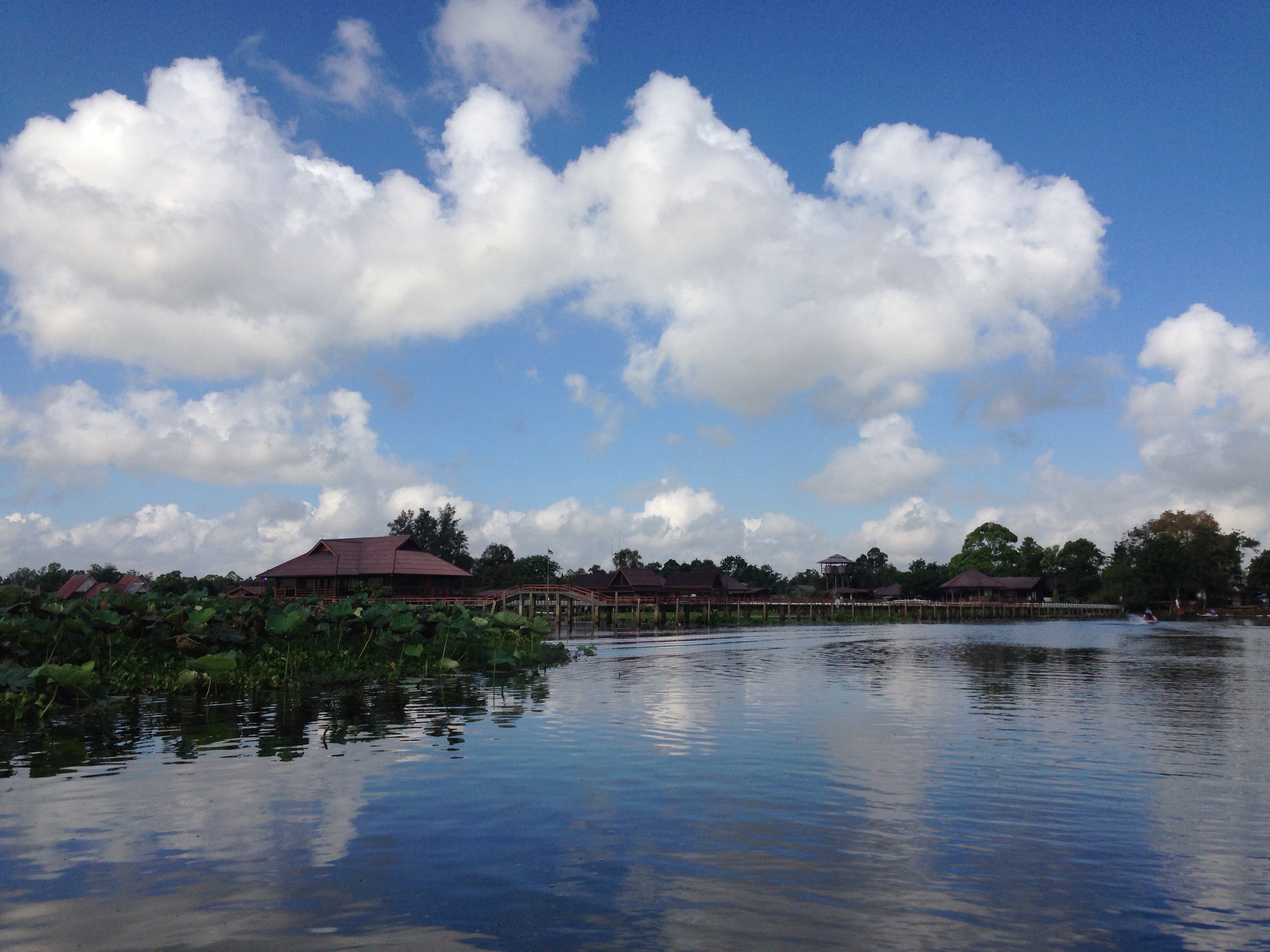
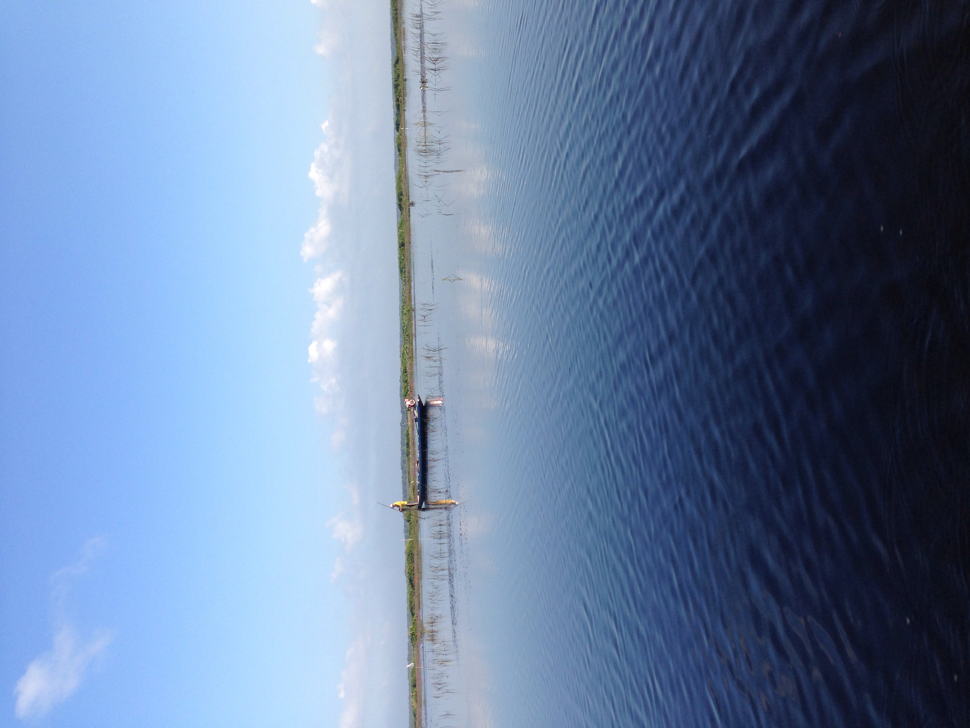
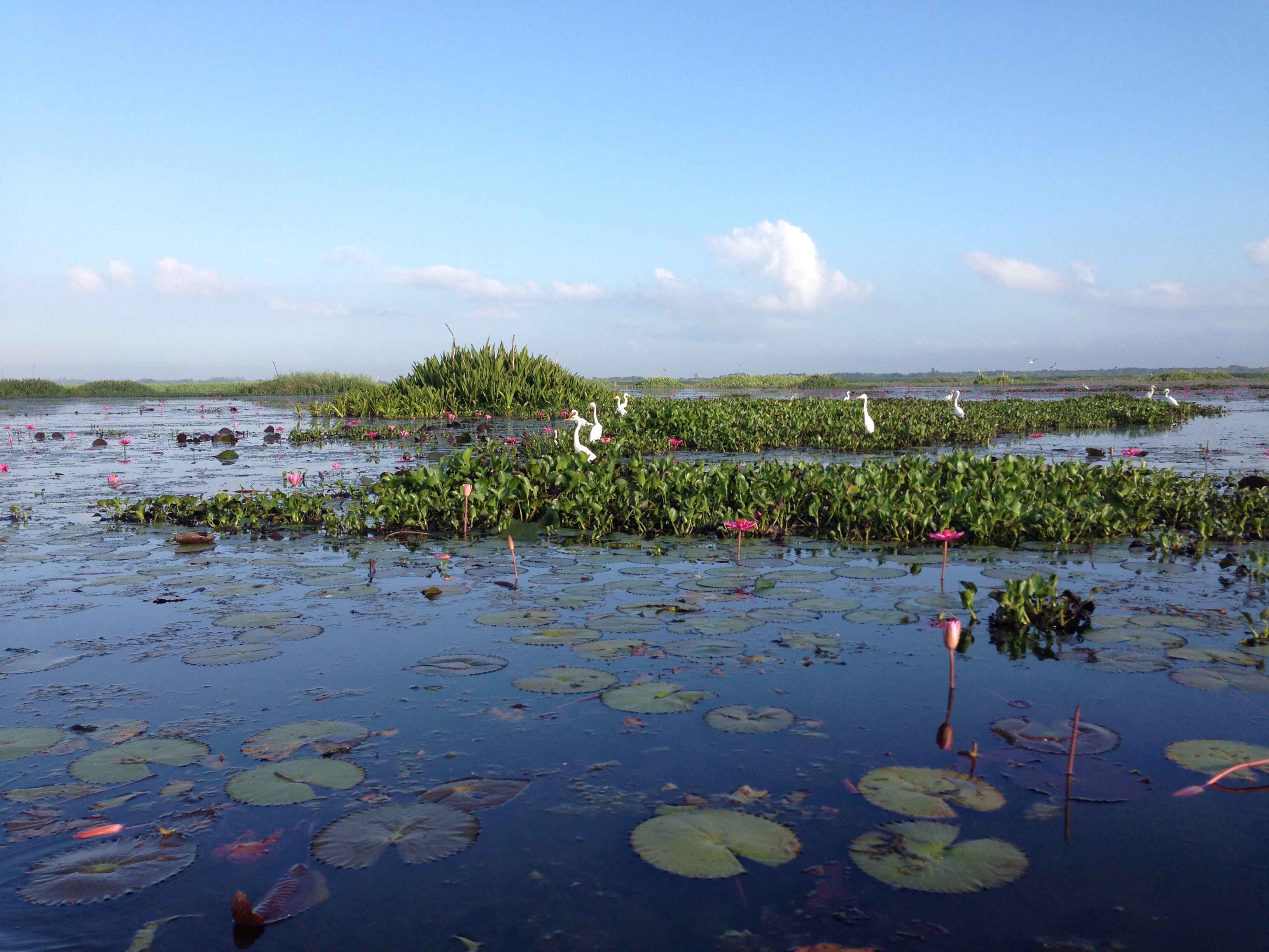
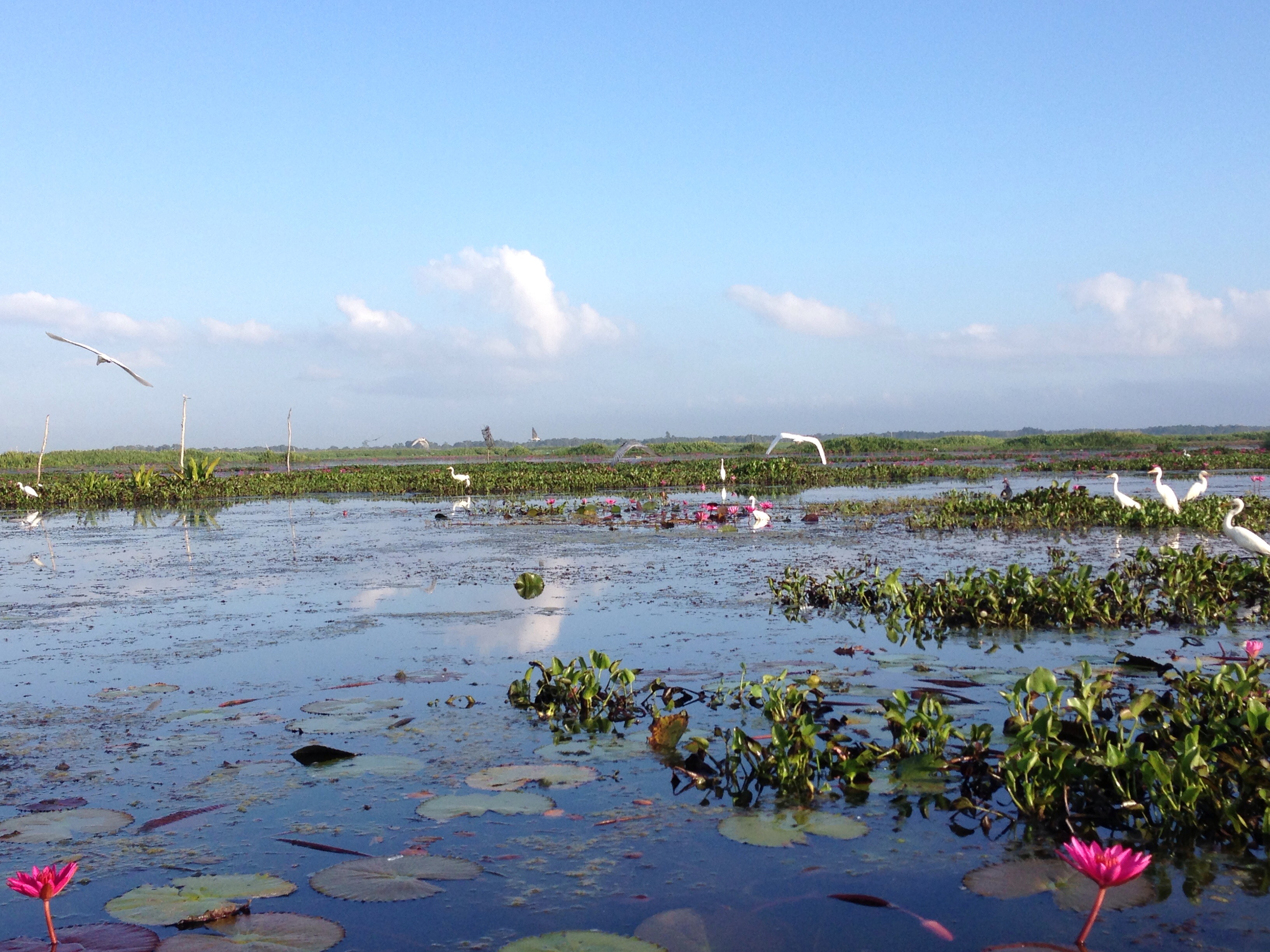
Related Photos:

Abyss Walker Retreat

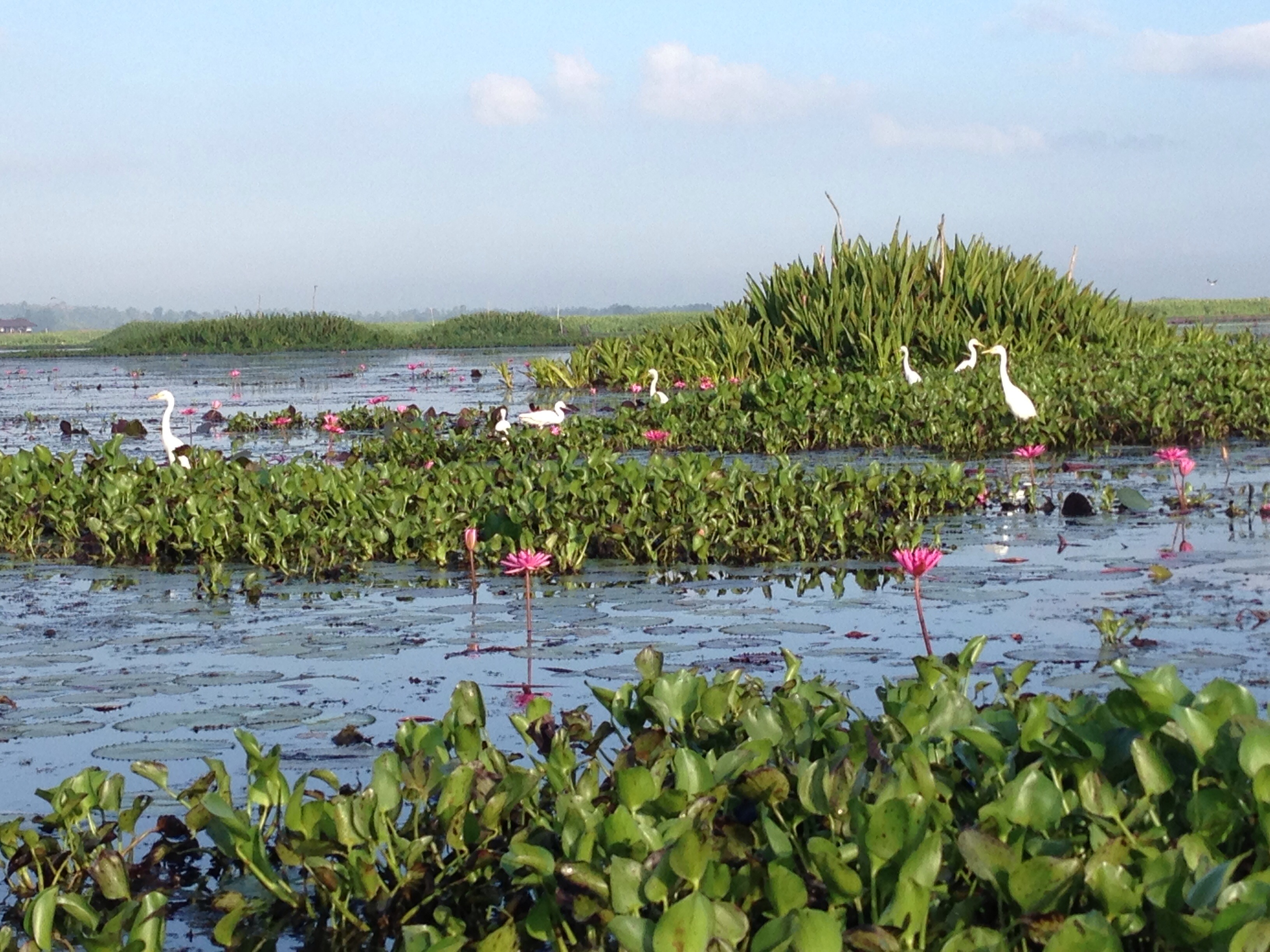
Thale Noi

Thale Noi

Thale Noi Nature Reserve

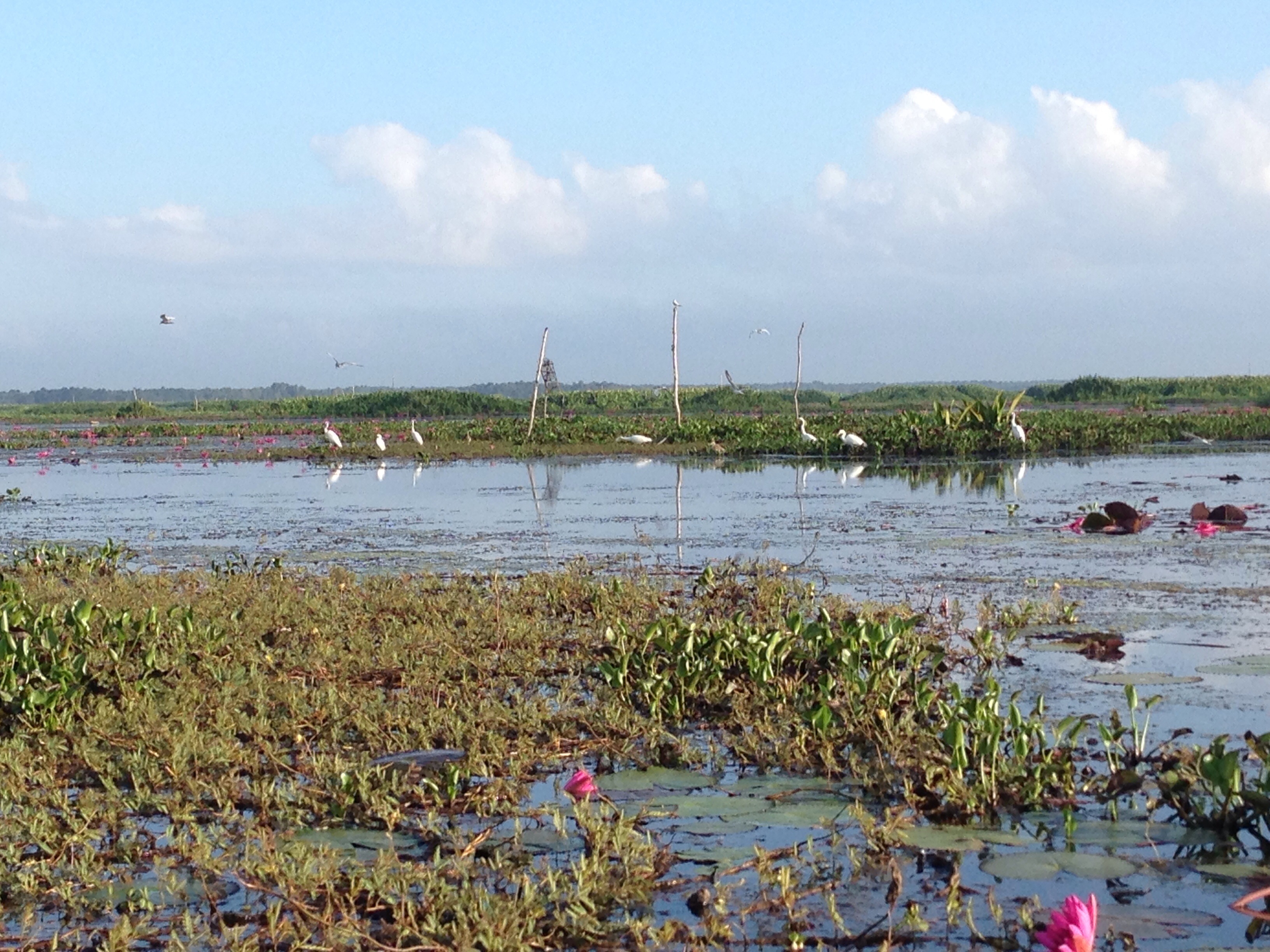
Three Friends at Thale Noi
Thale Noi Nature Reserve
Thale Noi Nature Reserve
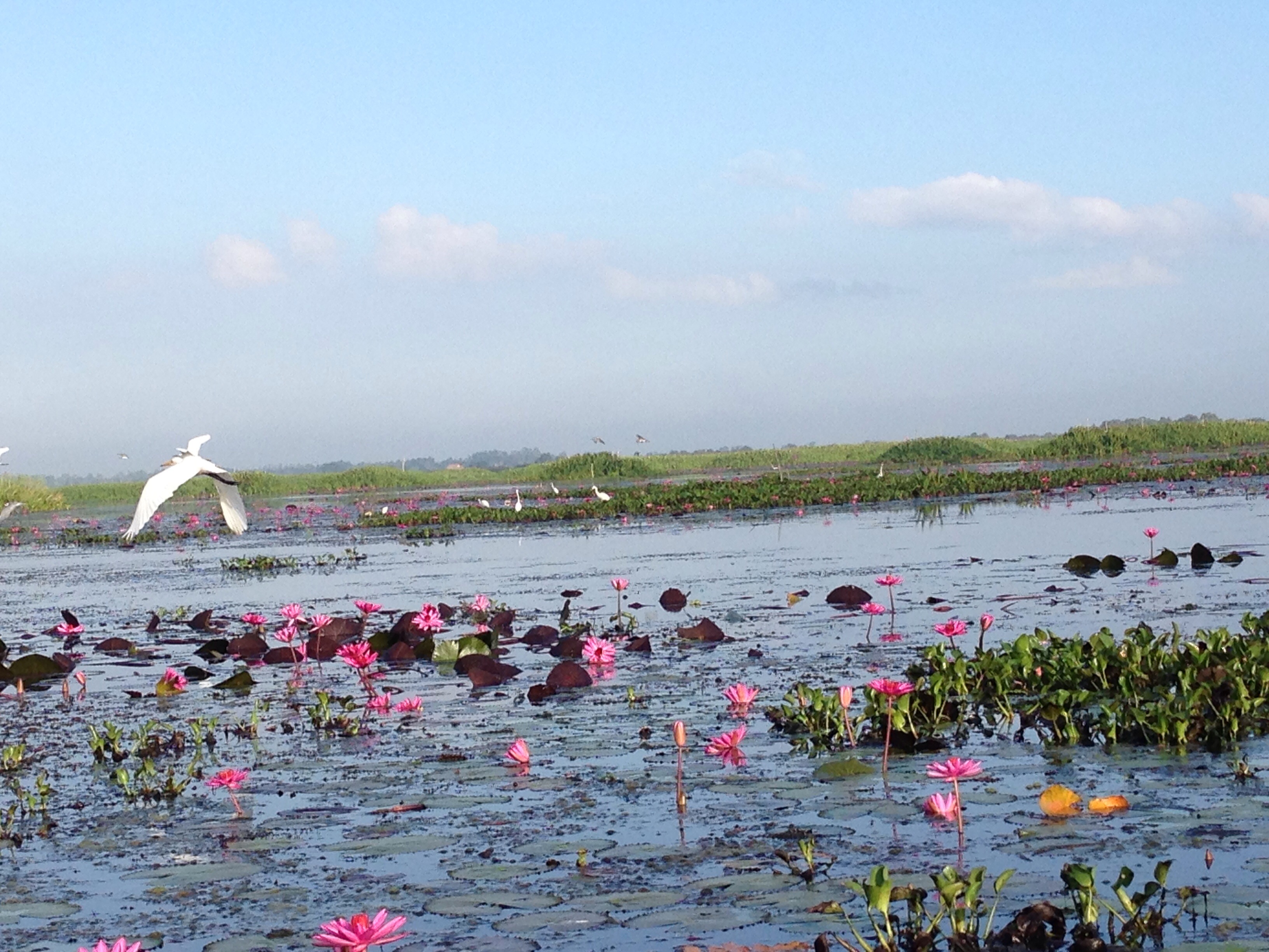
Thale Noi Nature Reserve
Thale Noi Nature Reserve

Thale Noi Nature Reserve
Thale Noi Nature Reserve
Thale Noi Nature Reserve

Thale Noi Nature Reserve
Thale Noi Nature Reserve

A Glimpse Of Sunrise
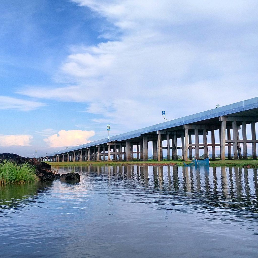
สะพานเฉลิมพระเกียรติ ทะเลน้อย
Talay Noi #sunset
Topographic Map of Ban Trok Kea, Khon Hat, Cha-uat District, Nakhon Si Thammarat, Thailand
Find elevation by address:

Places near Ban Trok Kea, Khon Hat, Cha-uat District, Nakhon Si Thammarat, Thailand:
Cha-uat District
Cha-uat
Phatthalung
Nakhon Si Thammarat
Songkhla, Thailand
Bang Klam
Bang Klam District
Songkhla
Mueang Songkhla District
Songkhla
Recent Searches:
- Elevation of Royal Ontario Museum, Queens Park, Toronto, ON M5S 2C6, Canada
- Elevation of Groblershoop, South Africa
- Elevation of Power Generation Enterprises | Industrial Diesel Generators, Oak Ave, Canyon Country, CA, USA
- Elevation of Chesaw Rd, Oroville, WA, USA
- Elevation of N, Mt Pleasant, UT, USA
- Elevation of 6 Rue Jules Ferry, Beausoleil, France
- Elevation of Sattva Horizon, 4JC6+G9P, Vinayak Nagar, Kattigenahalli, Bengaluru, Karnataka, India
- Elevation of Great Brook Sports, Gold Star Hwy, Groton, CT, USA
- Elevation of 10 Mountain Laurels Dr, Nashua, NH, USA
- Elevation of 16 Gilboa Ln, Nashua, NH, USA