Elevation of Ban Bueng, Ban Bueng District, Chon Buri, Thailand
Location: Thailand > Chon Buri > Ban Bueng District >
Longitude: 101.122406
Latitude: 13.308029
Elevation: 63m / 207feet
Barometric Pressure: 101KPa
Elevation Map:
Satellite Map:
Related Photos:

Chon Buri

Tomorowland.

Painted Stork
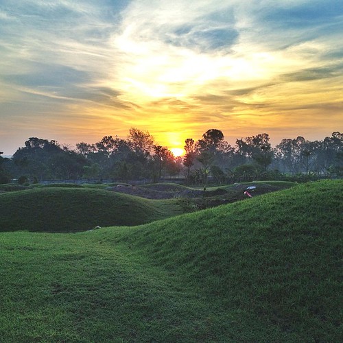
Such a beautiful sunrise <3 #สุสาน #สมาคมโง้วเจริญ #บ้านบึง

Chan Ta Then Waterfall, น้ำตกชันตาเถร

Chan Ta Then Waterfall, น้ำตกชันตาเถร

Chan Ta Then Waterfall 11

Chan Ta Then Waterfall 7

Chan Ta Then Waterfall, น้ำตกชันตาเถร

Chan Ta Then Waterfall 25

Chan Ta Then Waterfall 6

Chan Ta Then Waterfall 20

Chan Ta Then Waterfall 13

????

Chan Ta Then Waterfall, น้ำตกชันตาเถร

rip. #สำรวจ 20/4/58

OLYMPUS DIGITAL CAMERA

At Flight of the Gibbon Zoo near Bangkok.

ถ่ายMV
Topographic Map of Ban Bueng, Ban Bueng District, Chon Buri, Thailand
Find elevation by address:

Places in Ban Bueng, Ban Bueng District, Chon Buri, Thailand:
Places near Ban Bueng, Ban Bueng District, Chon Buri, Thailand:
Chon Buri, Thailand
Nong Chak
Tambon Nong Chak, Ban Bueng District, Chang Wat Chon Buri, Thailand
Modern Dyestuffs & Pigments Co., Ltd
Ban Bueng District
Khao Kheow Country Club
สนามกอล์ฟ Pleasant Valley Golf & Country Club
Bang Phra
Moo 1
Huaykapi
Samet
Moo 2
Mountain Shadow Golf Club
Bang Saen Ville
Bangpra Golf Club
Crystal Bay Golf Club
เลอ นาม คาซ่า Le Nam Casa
Saen Suk
Khao Sam Muk
Recent Searches:
- Elevation of Elwyn Dr, Roanoke Rapids, NC, USA
- Elevation of Congressional Dr, Stevensville, MD, USA
- Elevation of Bellview Rd, McLean, VA, USA
- Elevation of Stage Island Rd, Chatham, MA, USA
- Elevation of Shibuya Scramble Crossing, 21 Udagawacho, Shibuya City, Tokyo -, Japan
- Elevation of Jadagoniai, Kaunas District Municipality, Lithuania
- Elevation of Pagonija rock, Kranto 7-oji g. 8"N, Kaunas, Lithuania
- Elevation of Co Rd 87, Jamestown, CO, USA
- Elevation of Tenjo, Cundinamarca, Colombia
- Elevation of Côte-des-Neiges, Montreal, QC H4A 3J6, Canada