Elevation of Ball Rd, Eudora, AR, USA
Location: United States > Arkansas > Chicot County > Planters Township > Eudora >
Longitude: -91.277234
Latitude: 33.0895363
Elevation: 43m / 141feet
Barometric Pressure: 101KPa
Elevation Map:
Satellite Map:
Related Photos:
2011
D71_3314 E
D71_3315 E

D71_3319 E
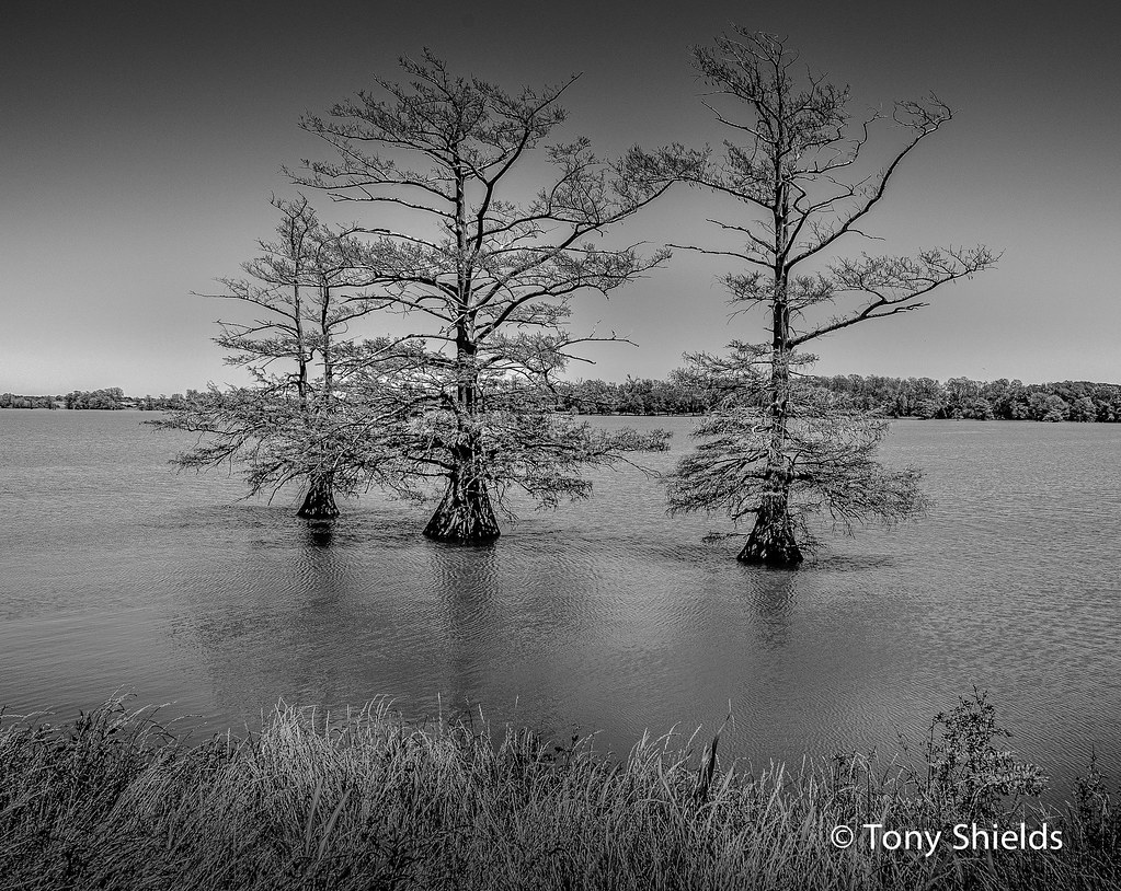
Grand Lake Trees
My Front Garden
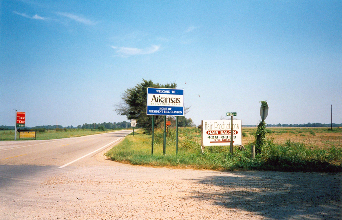
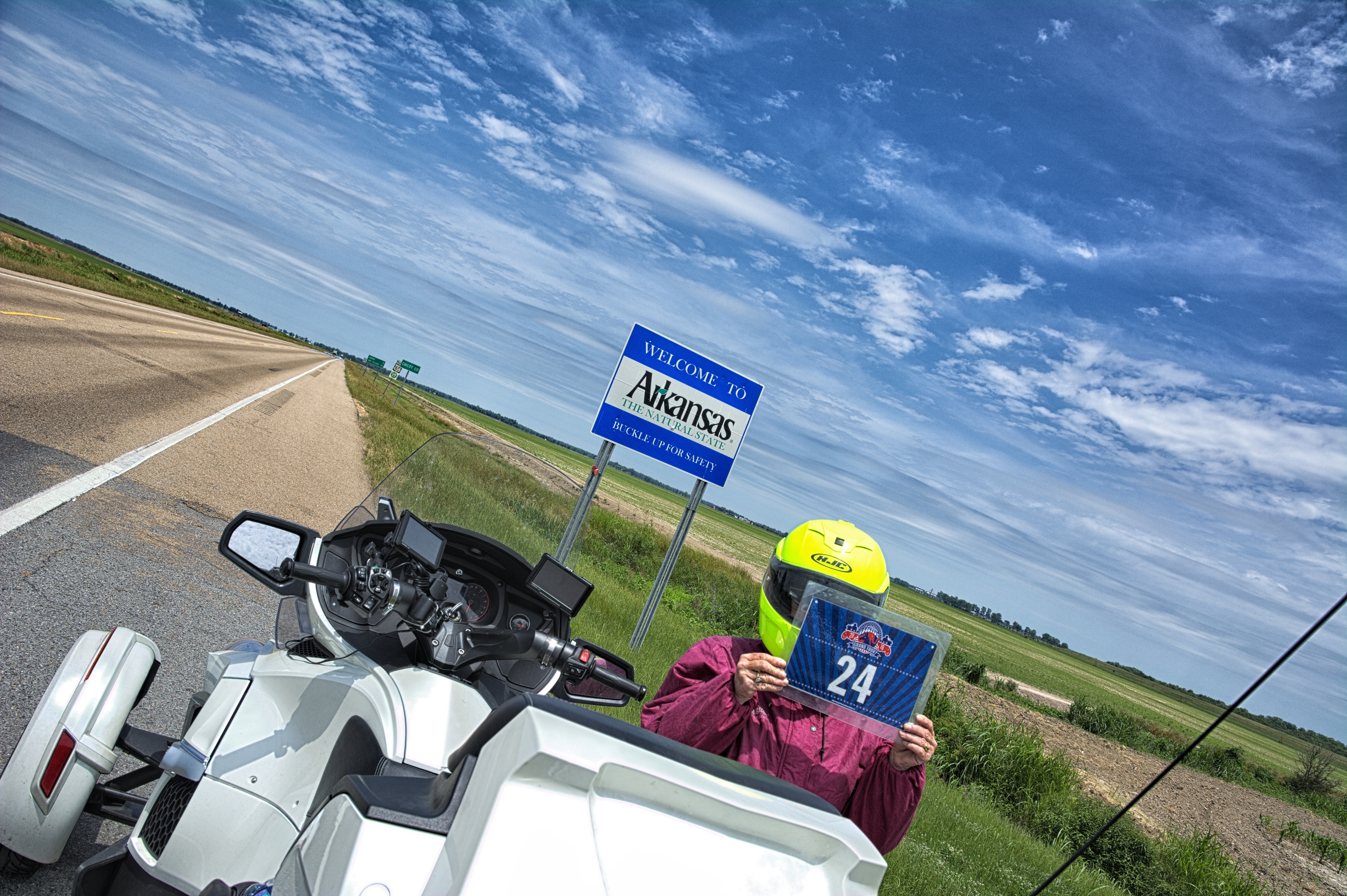
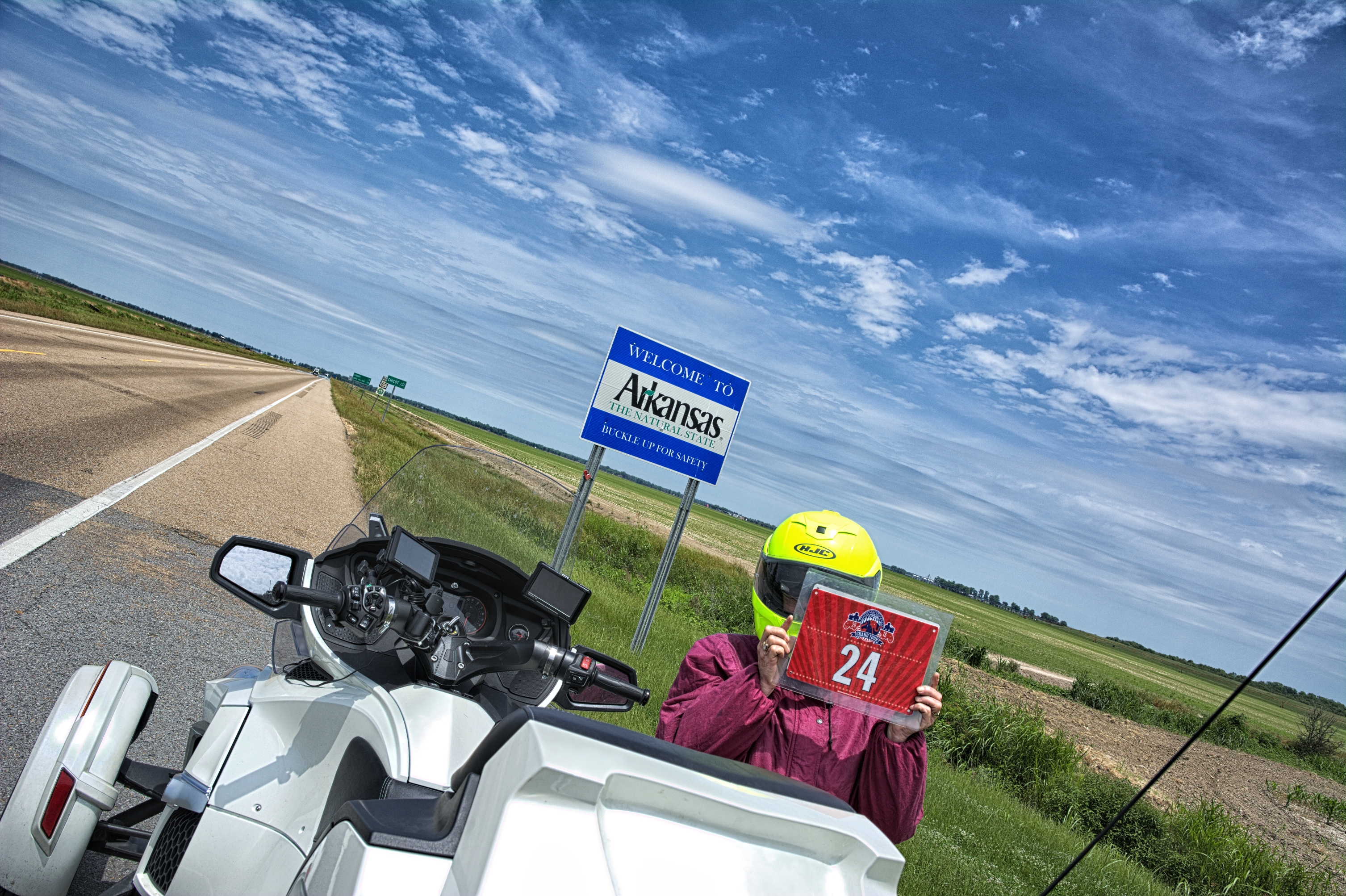
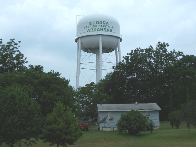
Welcome To Arkansas
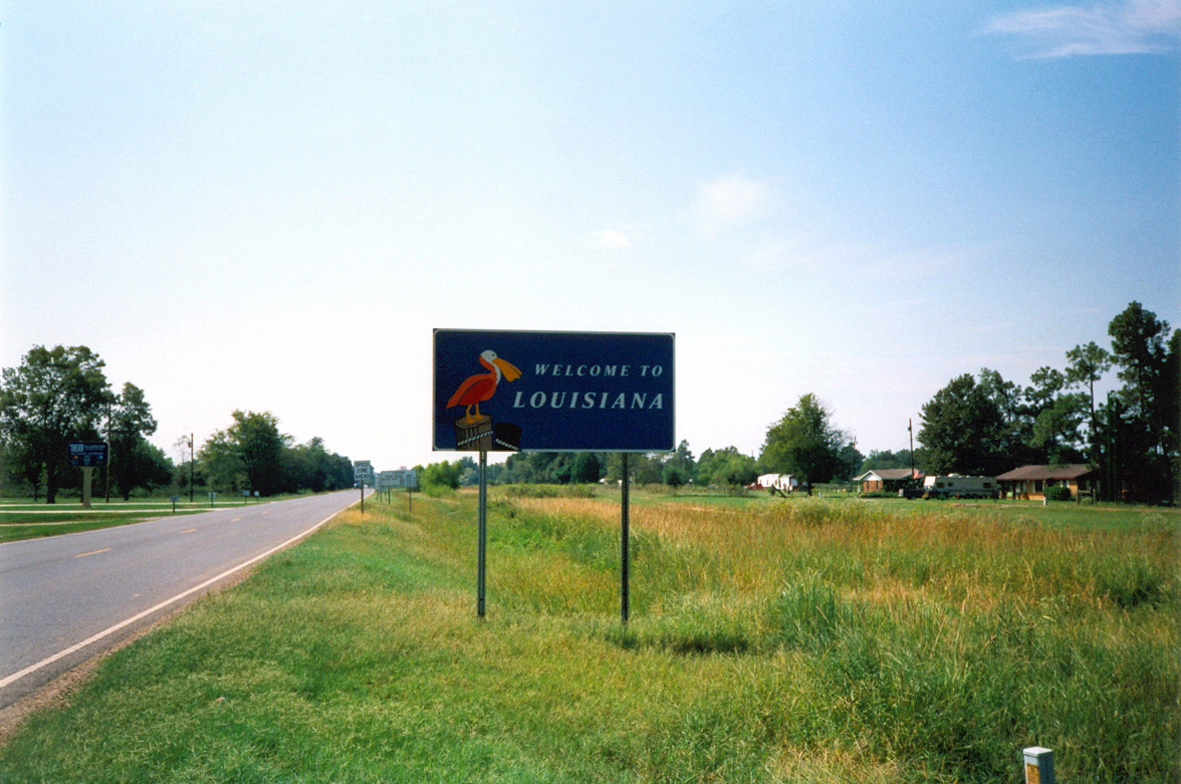
Welcome To Louisiana

Little Cousin
Some random pics from today

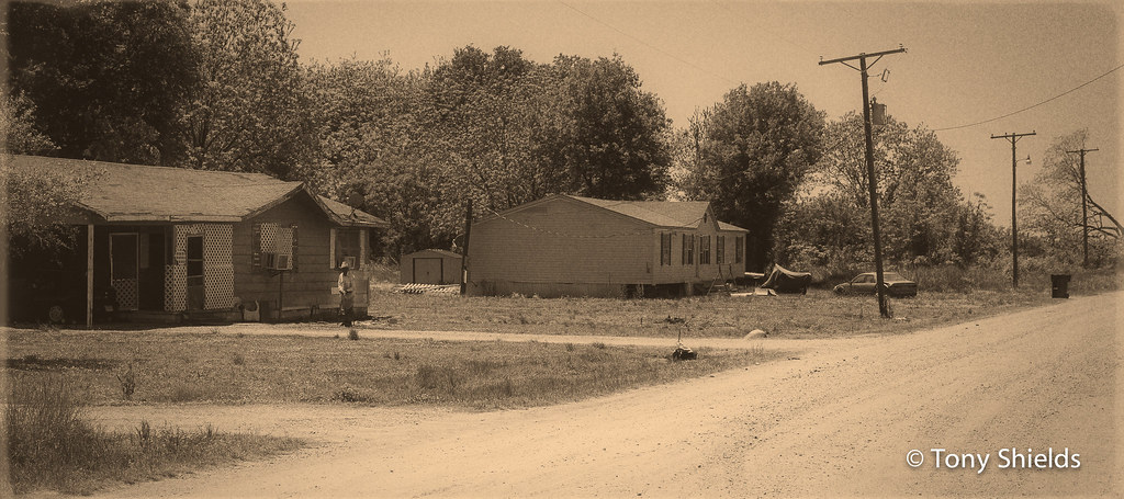
from Eudora, AR by squad of four
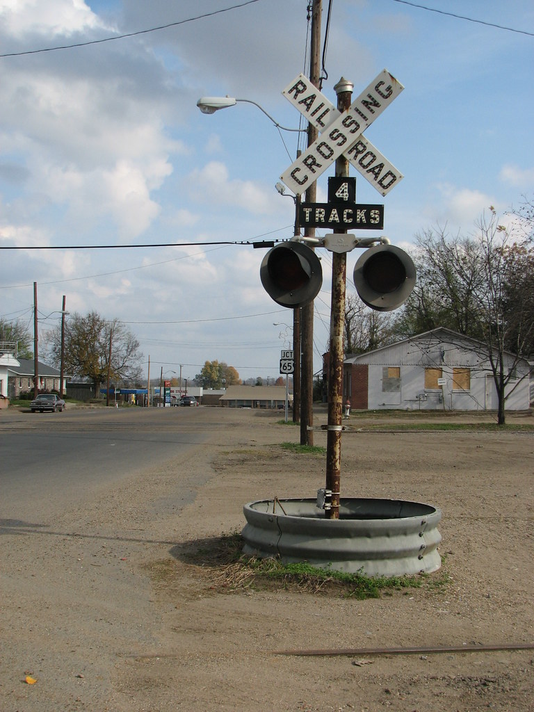
Eudora RXR

Self-Serv Discount Gas
Arkansas 01
Topographic Map of Ball Rd, Eudora, AR, USA
Find elevation by address:

Places near Ball Rd, Eudora, AR, USA:
Eudora
114 N Main St
North Mabry Street
321 Pickle Shed Rd
Planters Township
Gum Corner Road
Kilbourne
Kilbourne Ave, Oak Grove, LA, USA
Old U.S. 65, Eudora, AR, USA
151 Hunnicutt Ln
T-boy James Road
Co Rd 13, Lake Village, AR, USA
E
US-82, Lake Village, AR, USA
AR-, Lake Village, AR, USA
3408 S Lakeshore Dr
Co Rd 71, Lake Village, AR, USA
US-82, Lake Village, AR, USA
Lakehall Rd, Lake Village, AR, USA
Lake Village
Recent Searches:
- Elevation of Corso Fratelli Cairoli, 35, Macerata MC, Italy
- Elevation of Tallevast Rd, Sarasota, FL, USA
- Elevation of 4th St E, Sonoma, CA, USA
- Elevation of Black Hollow Rd, Pennsdale, PA, USA
- Elevation of Oakland Ave, Williamsport, PA, USA
- Elevation of Pedrógão Grande, Portugal
- Elevation of Klee Dr, Martinsburg, WV, USA
- Elevation of Via Roma, Pieranica CR, Italy
- Elevation of Tavkvetili Mountain, Georgia
- Elevation of Hartfords Bluff Cir, Mt Pleasant, SC, USA