Elevation of Ball Park Rd, Cosby, TN, USA
Location: United States > Tennessee > Cocke County > Cosby >
Longitude: -83.248615
Latitude: 35.8240545
Elevation: 404m / 1325feet
Barometric Pressure: 97KPa
Elevation Map:
Satellite Map:
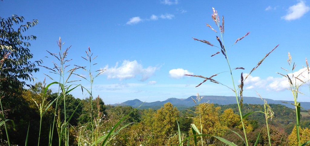
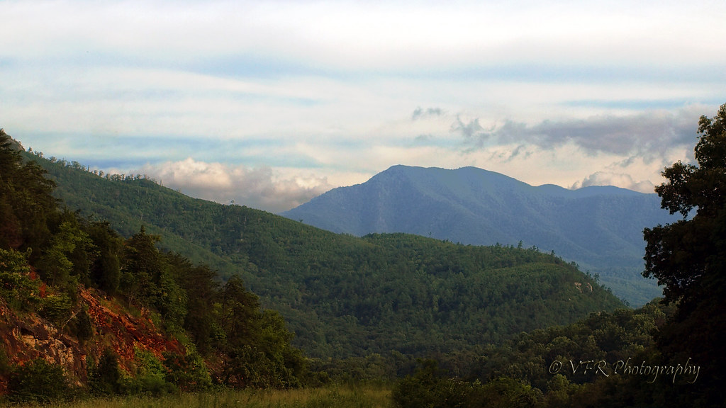
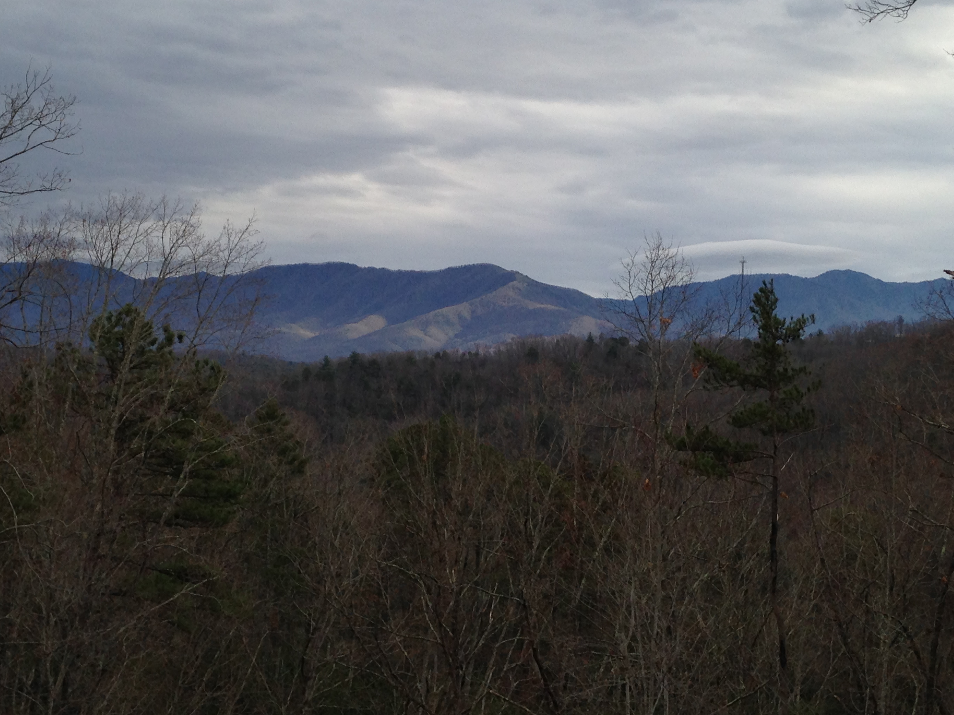
Related Photos:

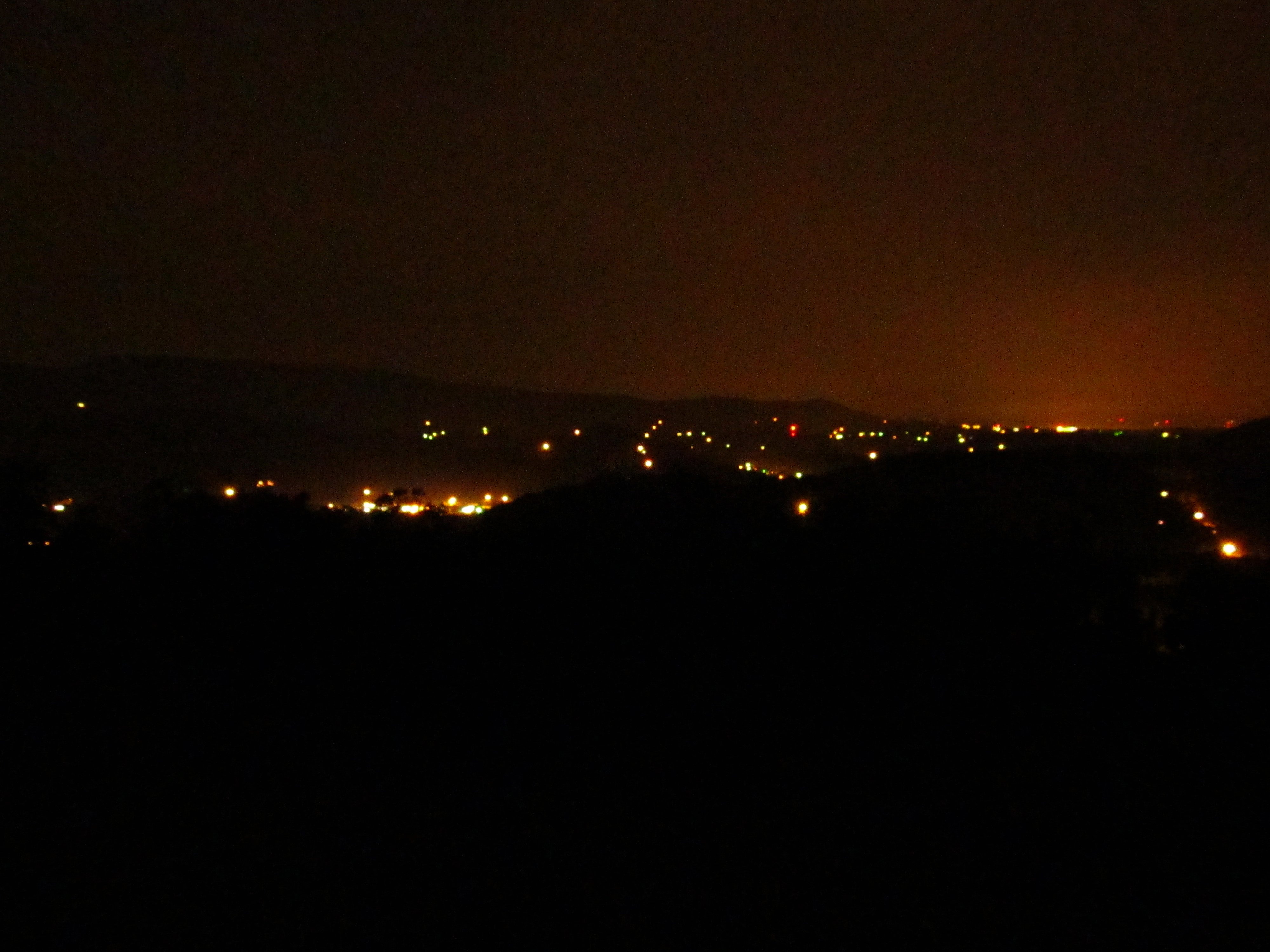
Almost Summer
TrackHead Studios - Vista
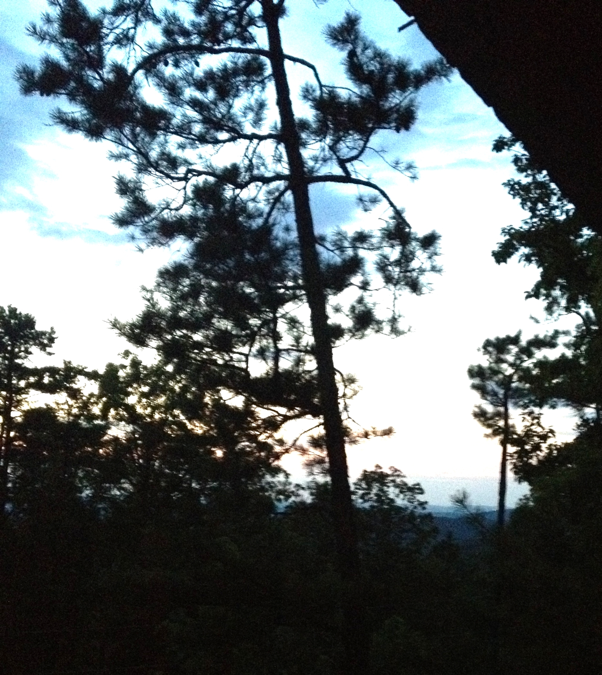
Pre-Gorge view
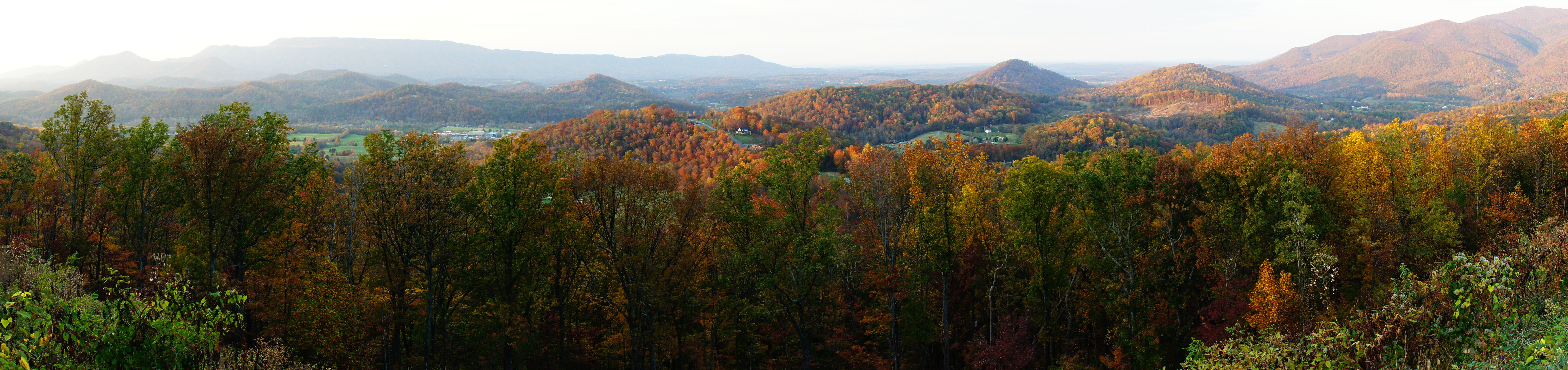
300/366 - Smoky Mountains

Mt Cammerer Trail - Star Trails - 900 Miles [Explore 10-7-2016]
Mt Guyot
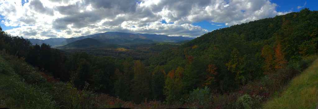
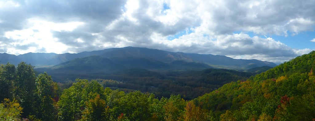
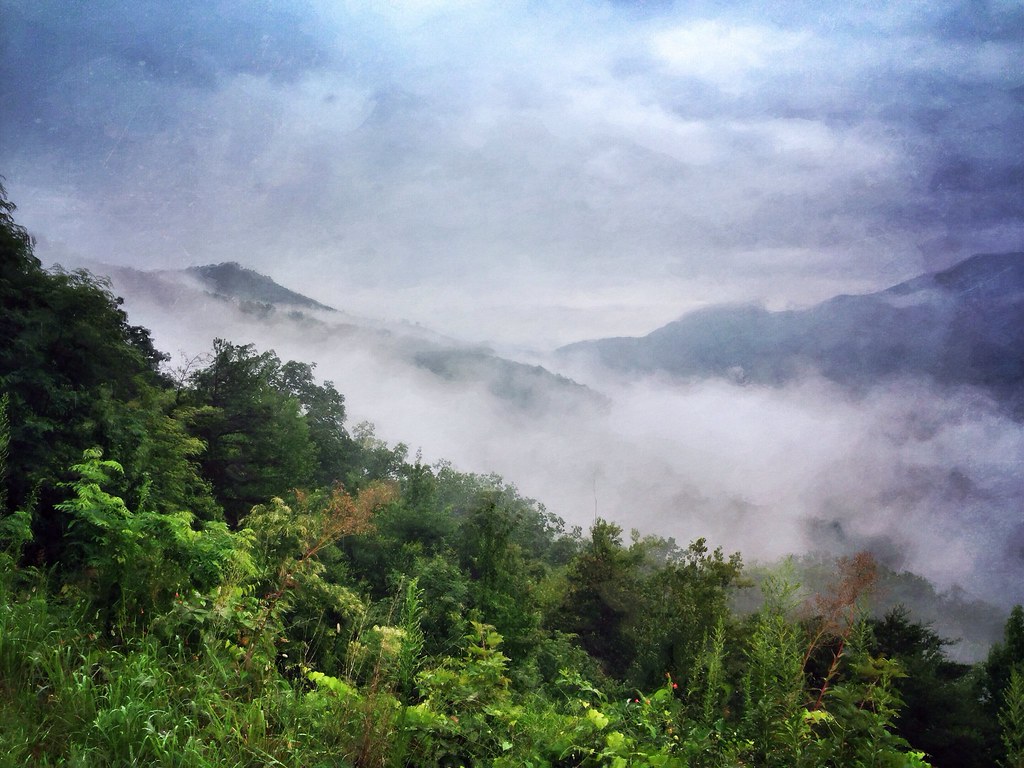
View of the Cosby Creek Valley from the Foothills Parkway Between I-40 and Gatlinburg, Tennessee

TrackHead Studios - Clouds Crawl Along

Wild Geranium
TrackHead Studios - Lovely Valley
TrackHead Studios - Forest Valley
TrackHead Studios - Shady Mountain Top
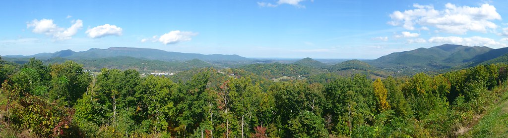
TrackHead Studios - Foothills of Smoky Mts.

Room with a view

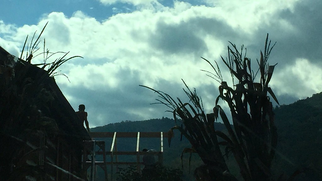
TrackHead Studios - Harvest Decorations

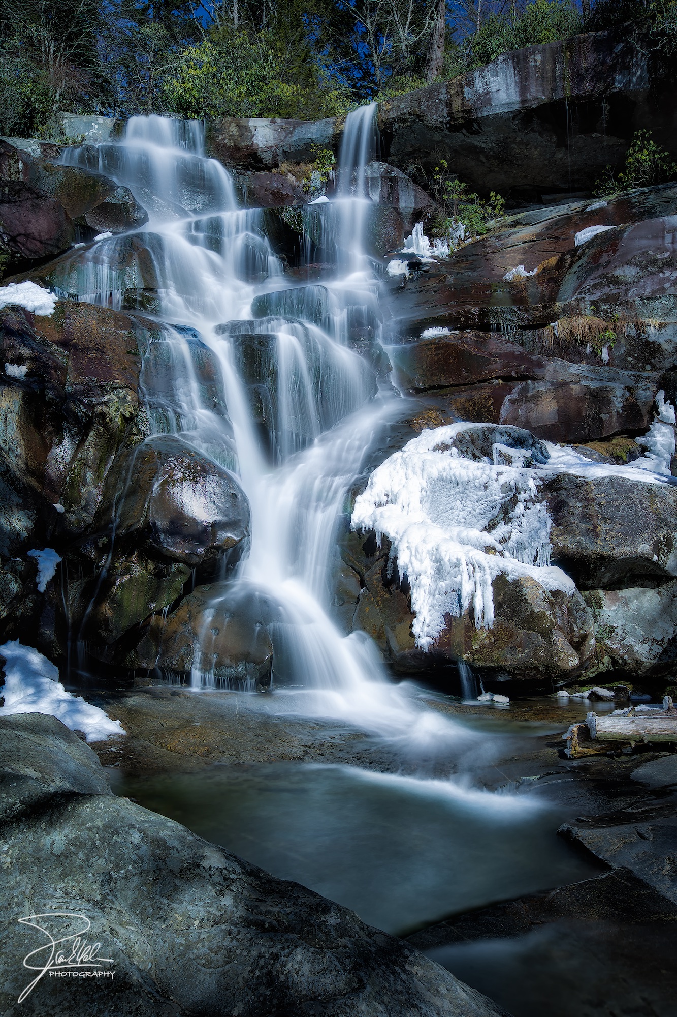
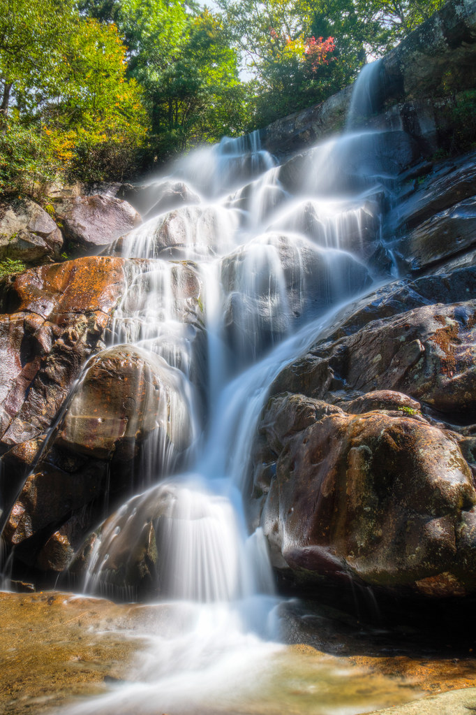
Midnight Hole Falls, 6 feet high

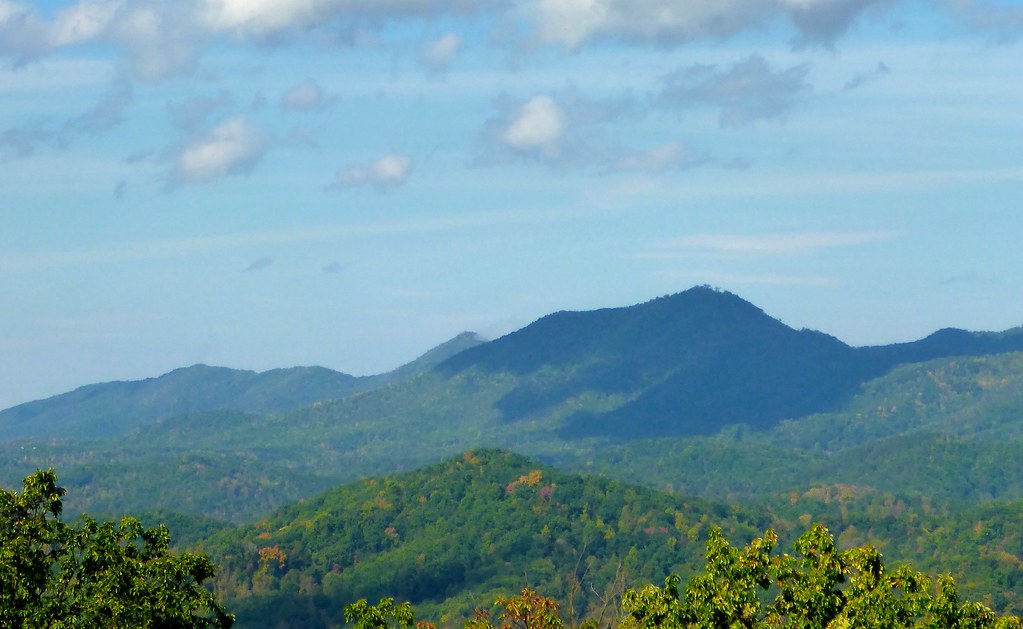
The Smokies

Bee on Wild Geranium
Cabin view
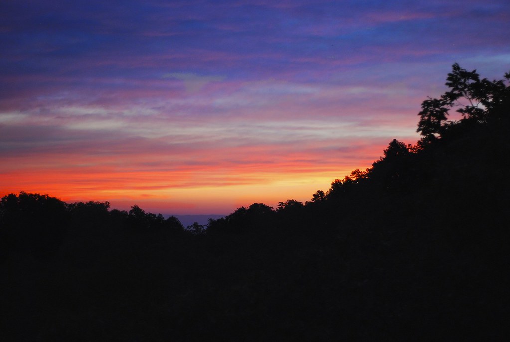
Smoky Mountain Sunset
TrackHead Studios - Construction Silhouette
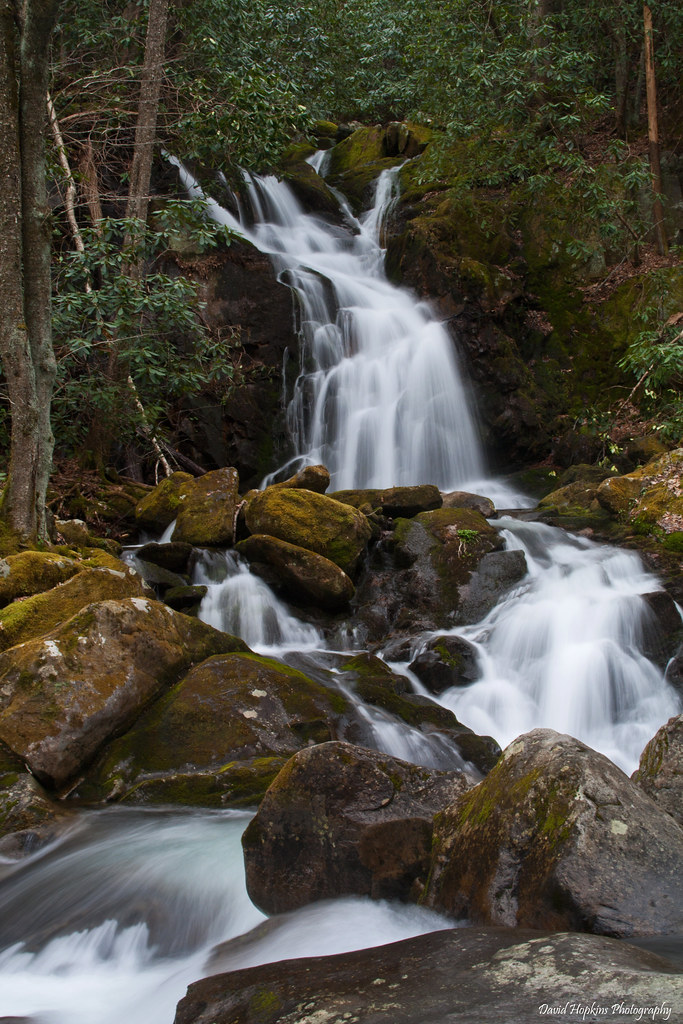
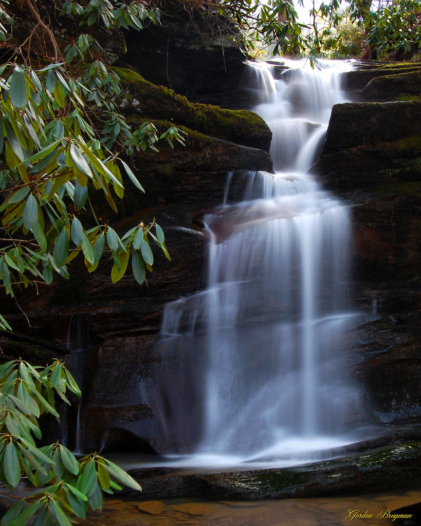
Mouse Creek Falls

Little Pigeon River
Ramsey Cascades

On Big Creek
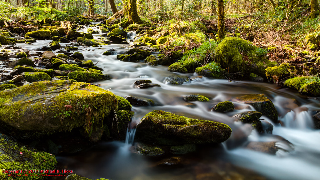
Cosby Nature Trail - Cosby Creek

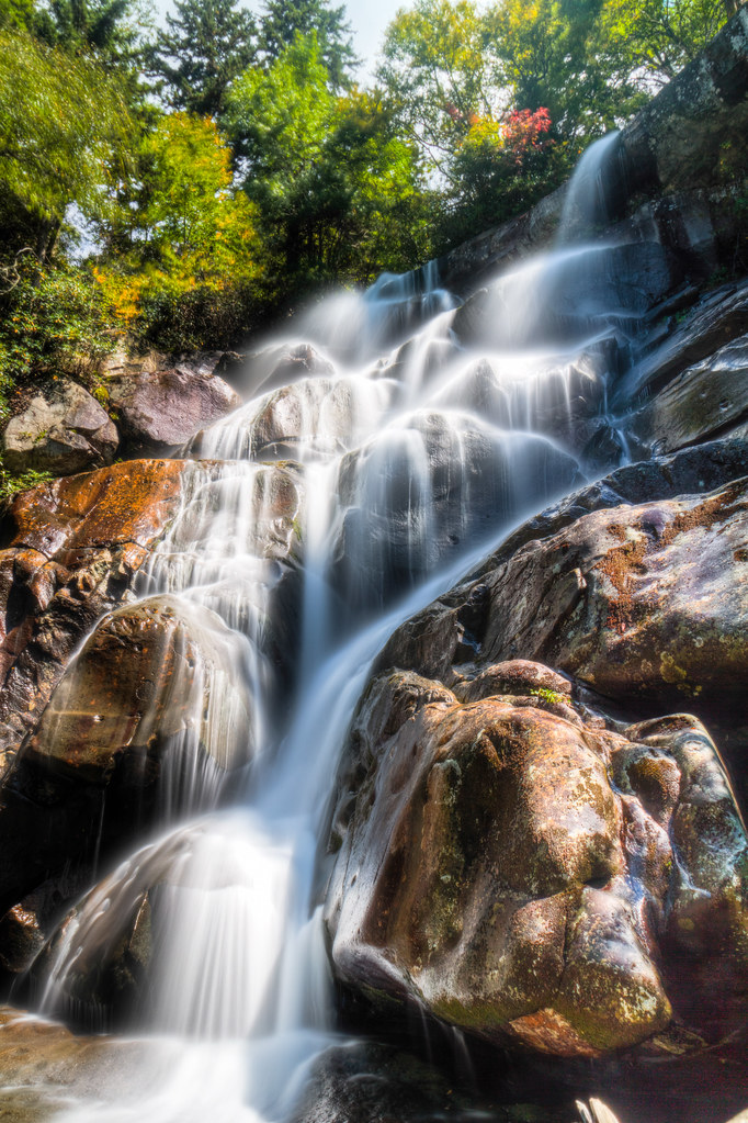
Hen Wallow Falls
"The mountains are calling and I must go." John Muir
360º panorama from Mount Cammerer (HDR)
Henrytown Falls

Step into Nature
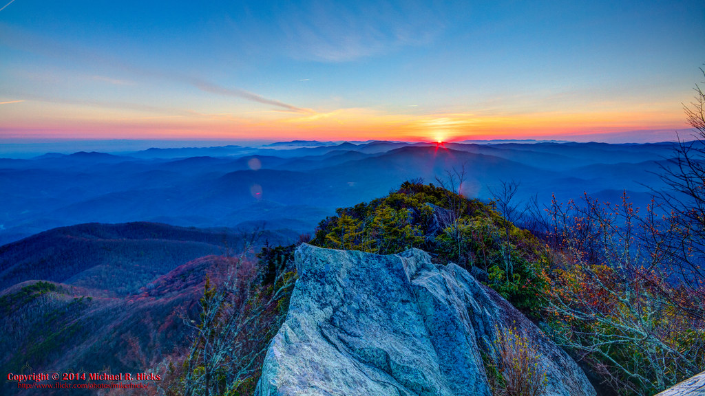
Sunrise from Mount Cammerer - April, 2014
Ramsey Cascades Hike

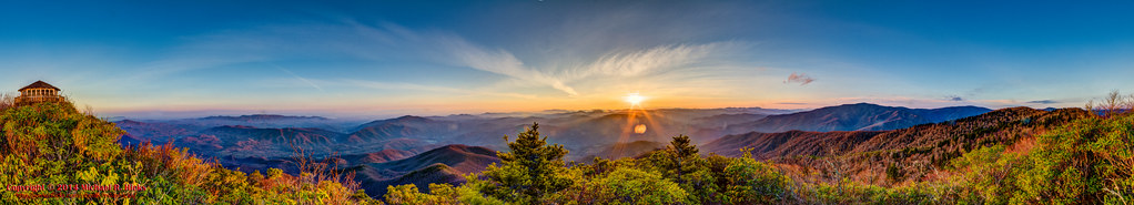
Mount Cammerer 300º Sunrise Panorama (HDR)
Ramsey Cascades Hike
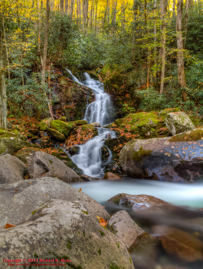
Mouse Creek Falls
Topographic Map of Ball Park Rd, Cosby, TN, USA
Find elevation by address:

Places near Ball Park Rd, Cosby, TN, USA:
Was Road
3817 Cosby Hwy
Cosby
127 Creek Song Way
Green Forest Road
Green Forest Road
Green Forest Road
3523 Cosby Hwy
861 Middle Creek Rd
5192 Jones Cove Rd
4254 Monte Vista Way
Padgett Mill Road
4240 Mountain Laurel Way
885 Middle Creek Rd
400 Padgett Mill Rd
866 Middle Creek Rd
4350 Cosby Hwy
Breezy Trail Way
Foothills Parkway
261 Sub Rd
Recent Searches:
- Elevation of Felindre, Swansea SA5 7LU, UK
- Elevation of Leyte Industrial Development Estate, Isabel, Leyte, Philippines
- Elevation of W Granada St, Tampa, FL, USA
- Elevation of Pykes Down, Ivybridge PL21 0BY, UK
- Elevation of Jalan Senandin, Lutong, Miri, Sarawak, Malaysia
- Elevation of Bilohirs'k
- Elevation of 30 Oak Lawn Dr, Barkhamsted, CT, USA
- Elevation of Luther Road, Luther Rd, Auburn, CA, USA
- Elevation of Unnamed Road, Respublika Severnaya Osetiya — Alaniya, Russia
- Elevation of Verkhny Fiagdon, North Ossetia–Alania Republic, Russia