Elevation of Baldy, Montana, USA
Location: United States > Montana > Park County > Pray >
Longitude: -110.63722
Latitude: 45.3019444
Elevation: 3074m / 10085feet
Barometric Pressure: 69KPa
Elevation Map:
Satellite Map:
Related Photos:
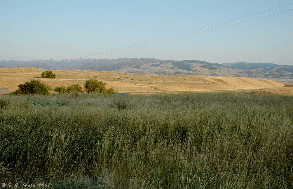
View from Chico Hot Springs in Pray, Montana
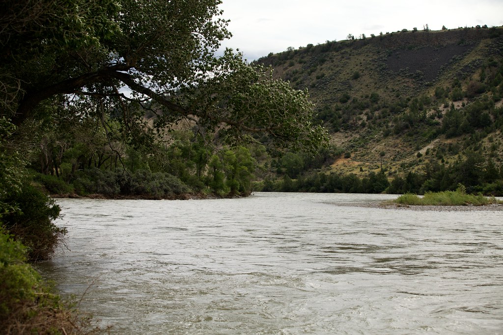
The Yellowstone River
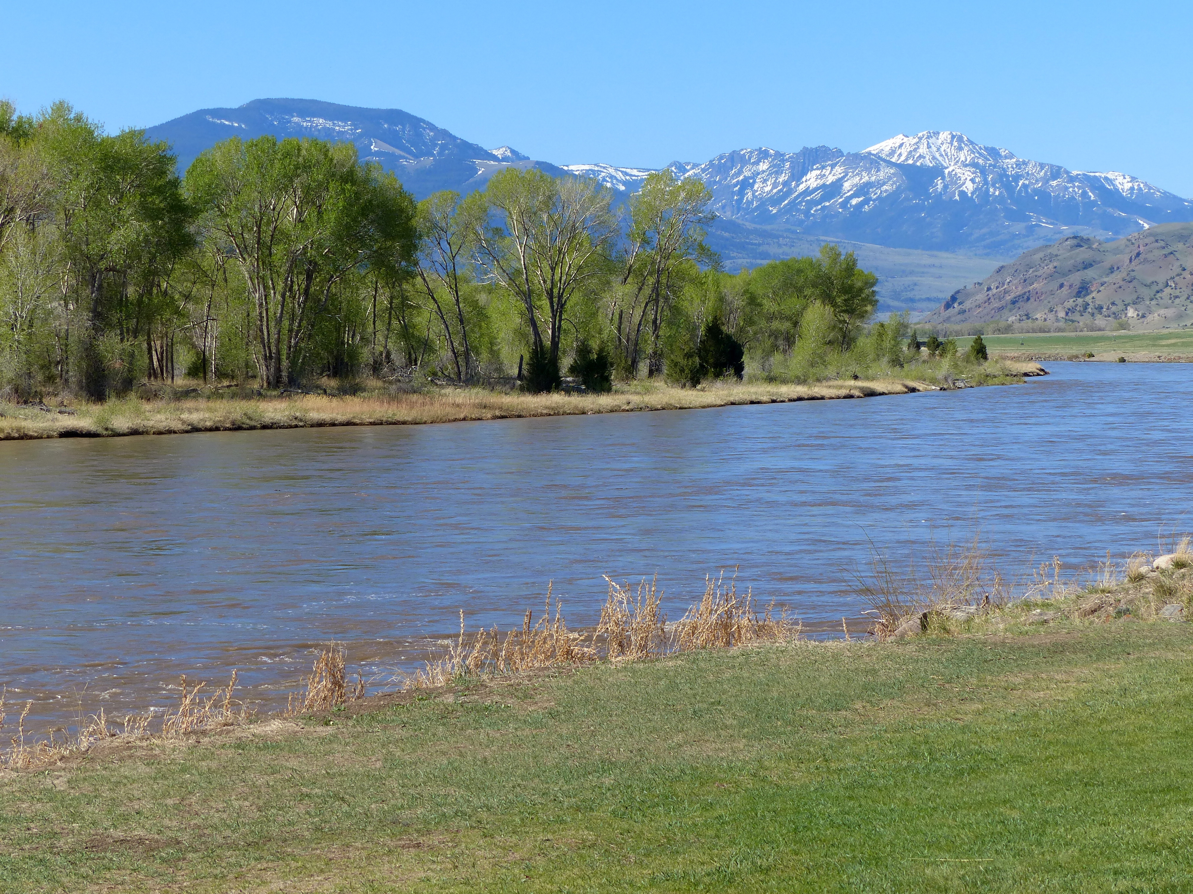
Approaching Yellowstone
Topographic Map of Baldy, Montana, USA
Find elevation by address:

Places near Baldy, Montana, USA:
637 Mill Creek Rd
11 Dance Hall Hill Rd, Emigrant, MT, USA
923 Mill Creek Rd
Pray
Emigrant
13 Avalon Ct
180 Bridger Hollow Rd
3882 Us-89
3838 Us-89
217 Capricorn Dr
Passage Falls
73 Leo Dr
Park County
69 Leo Dr
Sheep Mountain
270 Trail Creek Rd
2 Polaris Way
163 Pine Creek Rd
E River Rd, Livingston, MT, USA
Ash Mountain
Recent Searches:
- Elevation of Corso Fratelli Cairoli, 35, Macerata MC, Italy
- Elevation of Tallevast Rd, Sarasota, FL, USA
- Elevation of 4th St E, Sonoma, CA, USA
- Elevation of Black Hollow Rd, Pennsdale, PA, USA
- Elevation of Oakland Ave, Williamsport, PA, USA
- Elevation of Pedrógão Grande, Portugal
- Elevation of Klee Dr, Martinsburg, WV, USA
- Elevation of Via Roma, Pieranica CR, Italy
- Elevation of Tavkvetili Mountain, Georgia
- Elevation of Hartfords Bluff Cir, Mt Pleasant, SC, USA