Elevation map of Balaghat, Madhya Pradesh, India
Location: India > Maharashtra >
Longitude: 80.365865
Latitude: 21.8603434
Elevation: 596m / 1955feet
Barometric Pressure: 94KPa
Elevation Map:
Satellite Map:
Related Photos:
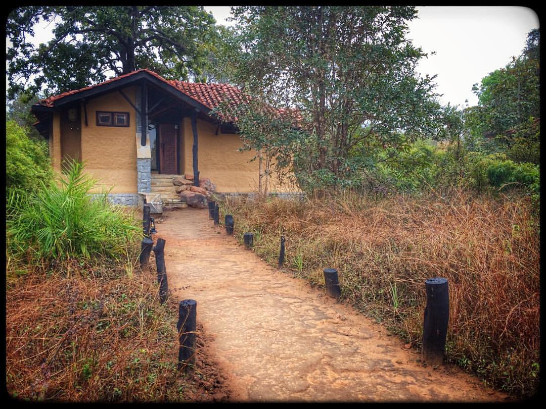
#kanha #kanhanationalpark #kanhaearthlodge #pugdandee #safari #composition #nikon #nikkor #beauty #nikonindia #nikonschool
Topographic Map of Balaghat, Madhya Pradesh, India
Find elevation by address:

Places in Balaghat, Madhya Pradesh, India:
Places near Balaghat, Madhya Pradesh, India:
Gangulpara Waterfalls
Balaghat
Singinawa Jungle Lodge
Malanjkhand Copper Mine
Lanji
3, Old Sbi Building, Bhilai Road
Gondia
Bhoramdev Wildlife Sanctuary
Kawardha
Rajnandgaon
Rajnandgaon
Durg
Rudra Institute
Sindhi Colony
Bemetra
Bhilai
Durg
Maikal Hills
Aurapani
Recent Searches:
- Elevation of Leguwa, Nepal
- Elevation of County Rd, Enterprise, AL, USA
- Elevation of Kolchuginsky District, Vladimir Oblast, Russia
- Elevation of Shustino, Vladimir Oblast, Russia
- Elevation of Lampiasi St, Sarasota, FL, USA
- Elevation of Elwyn Dr, Roanoke Rapids, NC, USA
- Elevation of Congressional Dr, Stevensville, MD, USA
- Elevation of Bellview Rd, McLean, VA, USA
- Elevation of Stage Island Rd, Chatham, MA, USA
- Elevation of Shibuya Scramble Crossing, 21 Udagawacho, Shibuya City, Tokyo -, Japan