Elevation of Baker Township, SD, USA
Location: United States > South Dakota > Davison County >
Longitude: -98.243174
Latitude: 43.551006
Elevation: 481m / 1578feet
Barometric Pressure: 96KPa
Elevation Map:
Satellite Map:
Related Photos:

red trail
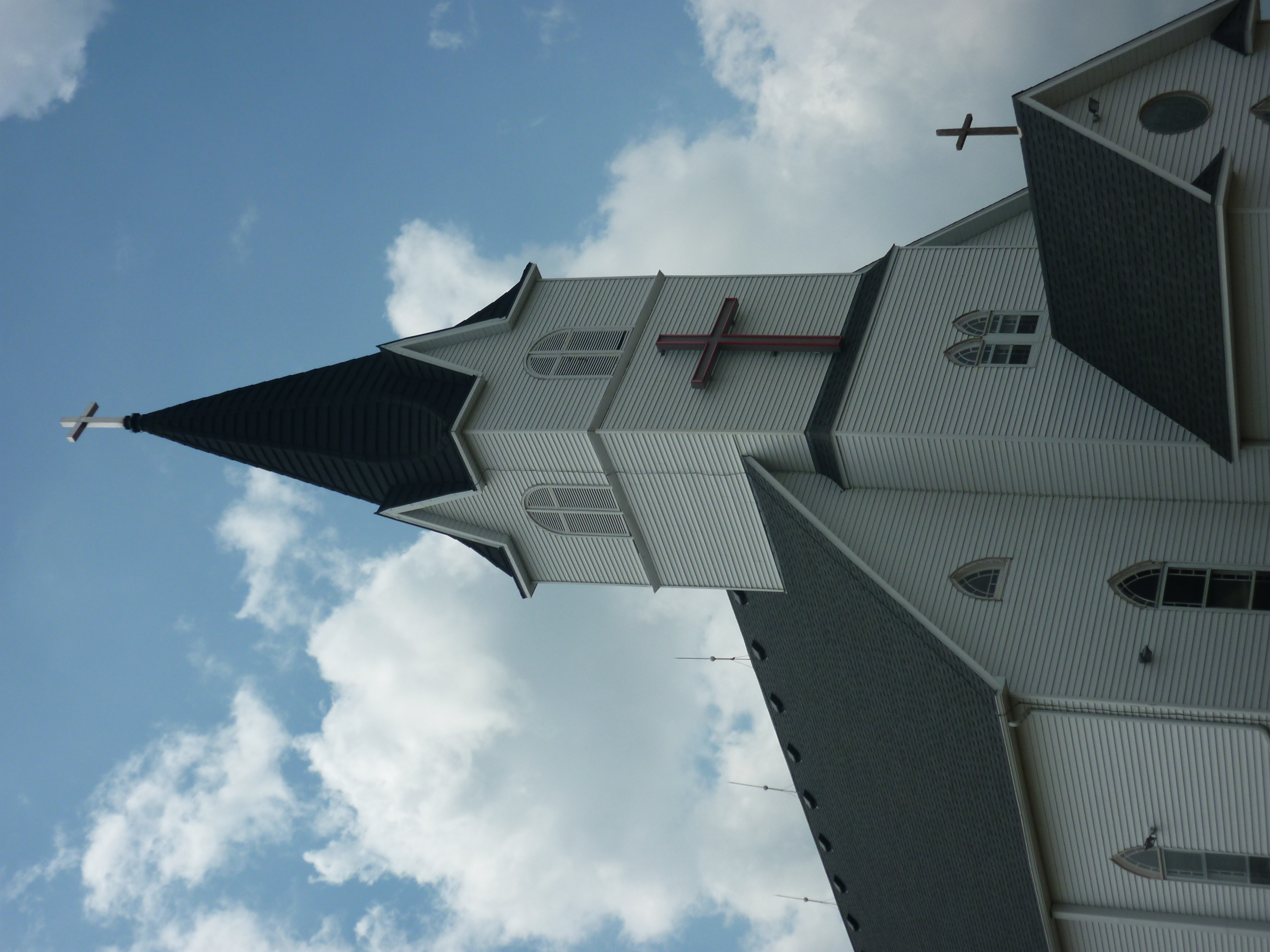
Immanuel Lutheran

20101127-starry night-002

20101126-farm sunrise-051

Sunsetting in Rearview Mirror, South Dakota

Sunsetting in Rearview Mirror, South Dakota
Topographic Map of Baker Township, SD, USA
Find elevation by address:

Places in Baker Township, SD, USA:
Places near Baker Township, SD, USA:
Metzgerville
Tobin Township
402nd Ave & 267th St
403rd Ave & 266th St
40407 271st St
Douglas County
264th Street
Rome Township
Ethan
Dimock
Parkston
E Main St, Parkston, SD, USA
301 S Ben St
Cross Plains Township
Tripp
Wagner
Charles Mix County
Wittenberg Township
42384 282nd St
Hutchinson County
Recent Searches:
- Elevation of Elwyn Dr, Roanoke Rapids, NC, USA
- Elevation of Congressional Dr, Stevensville, MD, USA
- Elevation of Bellview Rd, McLean, VA, USA
- Elevation of Stage Island Rd, Chatham, MA, USA
- Elevation of Shibuya Scramble Crossing, 21 Udagawacho, Shibuya City, Tokyo -, Japan
- Elevation of Jadagoniai, Kaunas District Municipality, Lithuania
- Elevation of Pagonija rock, Kranto 7-oji g. 8"N, Kaunas, Lithuania
- Elevation of Co Rd 87, Jamestown, CO, USA
- Elevation of Tenjo, Cundinamarca, Colombia
- Elevation of Côte-des-Neiges, Montreal, QC H4A 3J6, Canada