Elevation of Bainbridge, PA, USA
Location: United States > Pennsylvania > Lancaster County > Conoy Township >
Longitude: -76.667467
Latitude: 40.0909286
Elevation: 93m / 305feet
Barometric Pressure: 100KPa
Elevation Map:
Satellite Map:
Related Photos:

Glow of Ice on the Susquehanna

Long-eared Owl

All in stride...

Three Mile Island

Columbia–Wrightsville Bridge

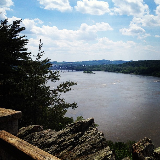
Are you enjoying the View?
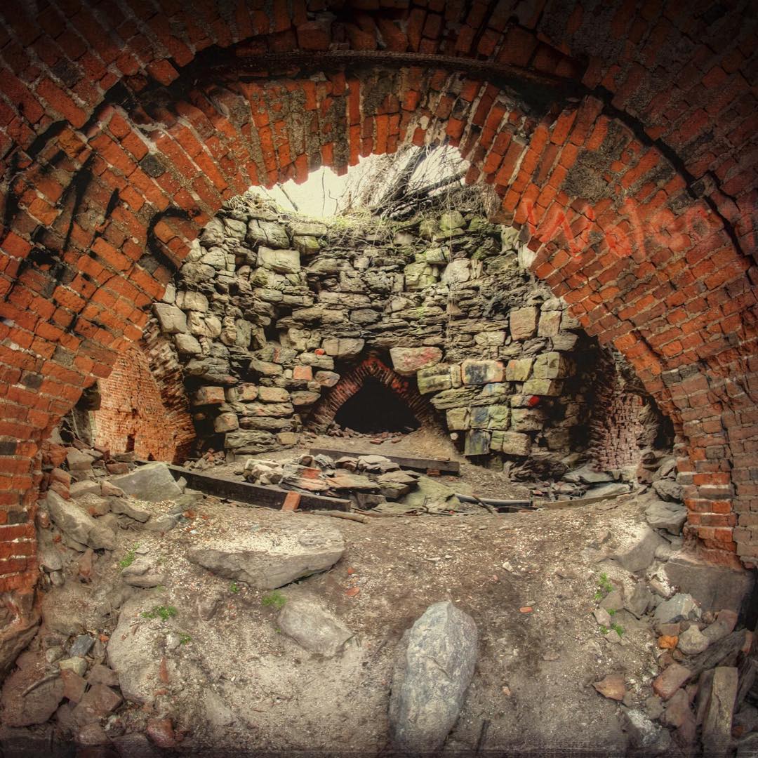
Fisheye view into the Saint Charles Furnace along the Northwest Lancaster County River Trail. This is the newest section between Columbia and Marietta. #history #lancastergram #discoverlancaster #alwayslancaster #pennlive #uncoveringpa #visit_pa #rurex #r
A Place By the Seaside

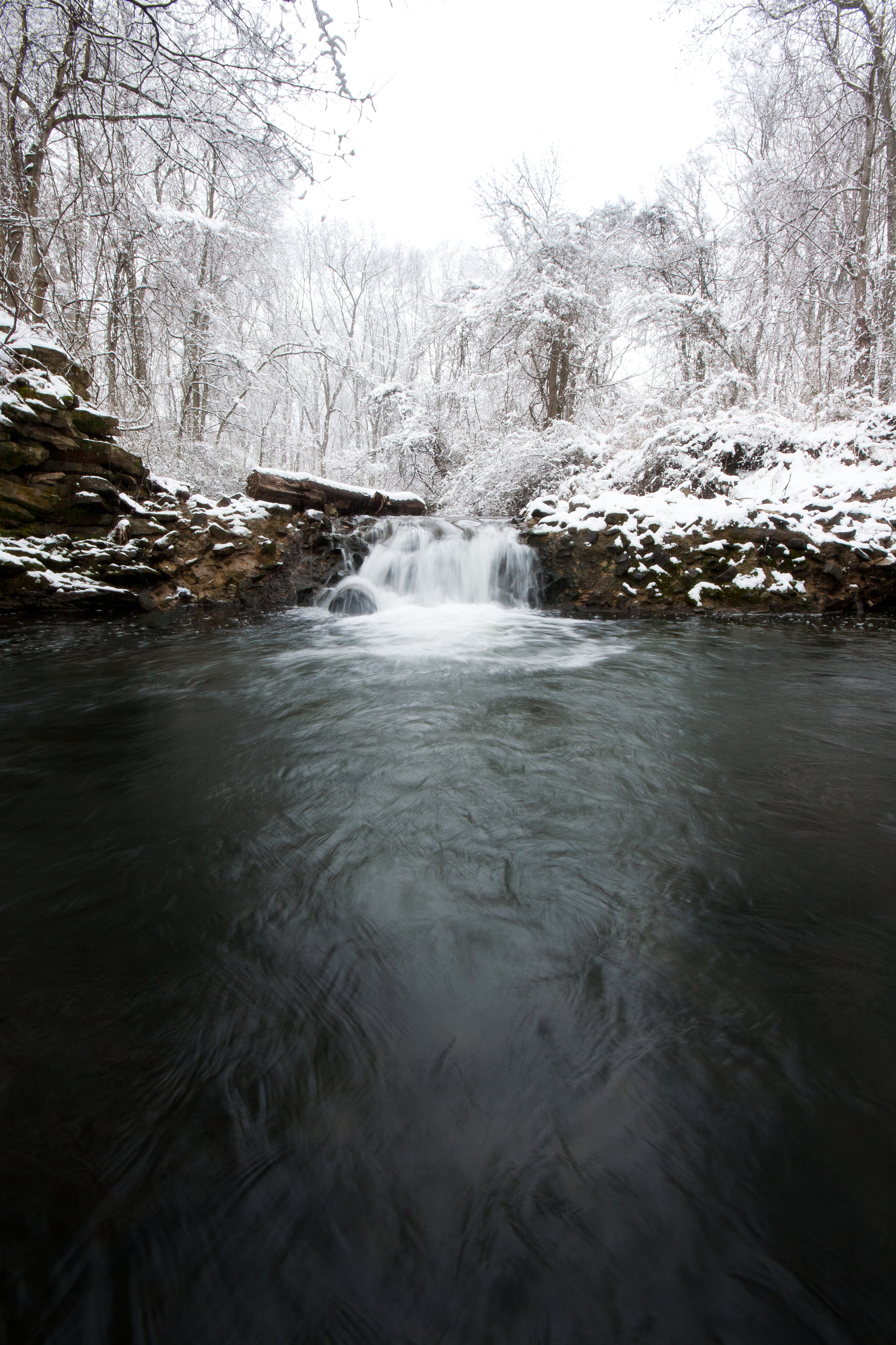
March Snowfall

Wrightsville Bridge -- the view from lunch

Searching through the snow

The Rocks

The Heart of Tulip Time

Tulip Time Ballet

Tulip Time Blush

Orange Sunset

All Clear...

STONY BROOK DRIVE-IN: View Back from the Screen - York, PA. USA
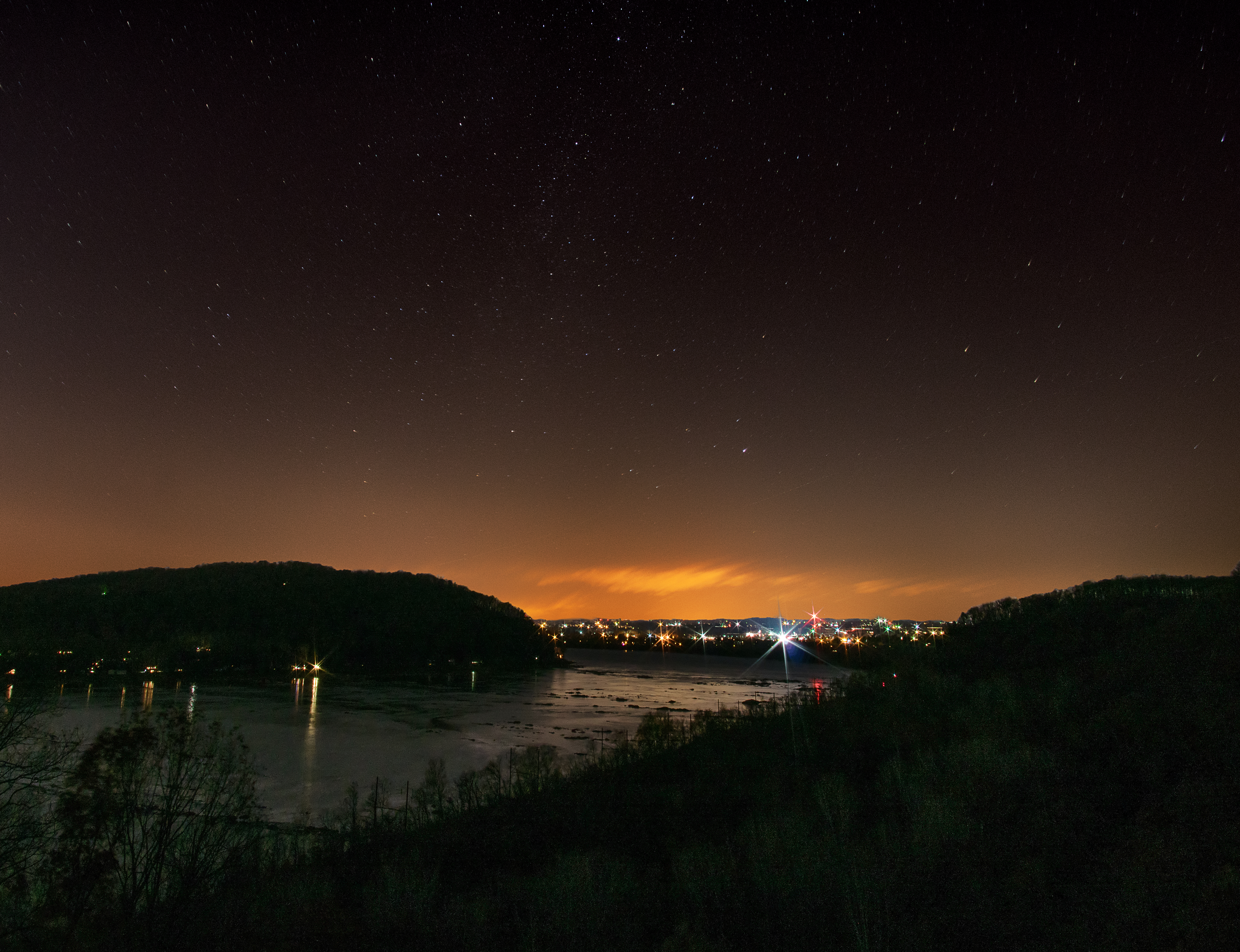
Night View with Stars of Susquehanna River from Chickies Rock, Lancaster County, PA
View from the Rick

Tulip Time

Wrightsville Bridge

Morning Tree
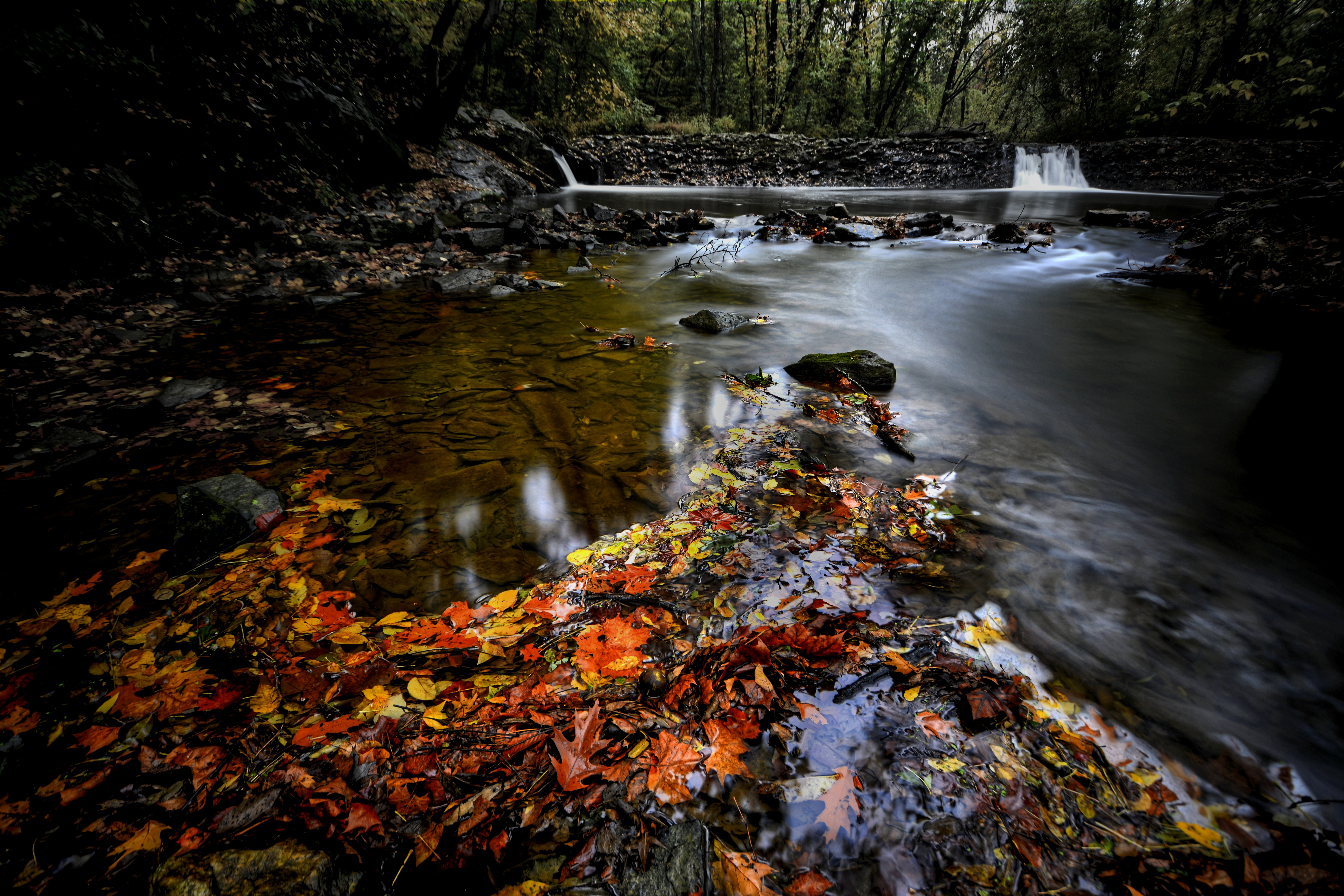
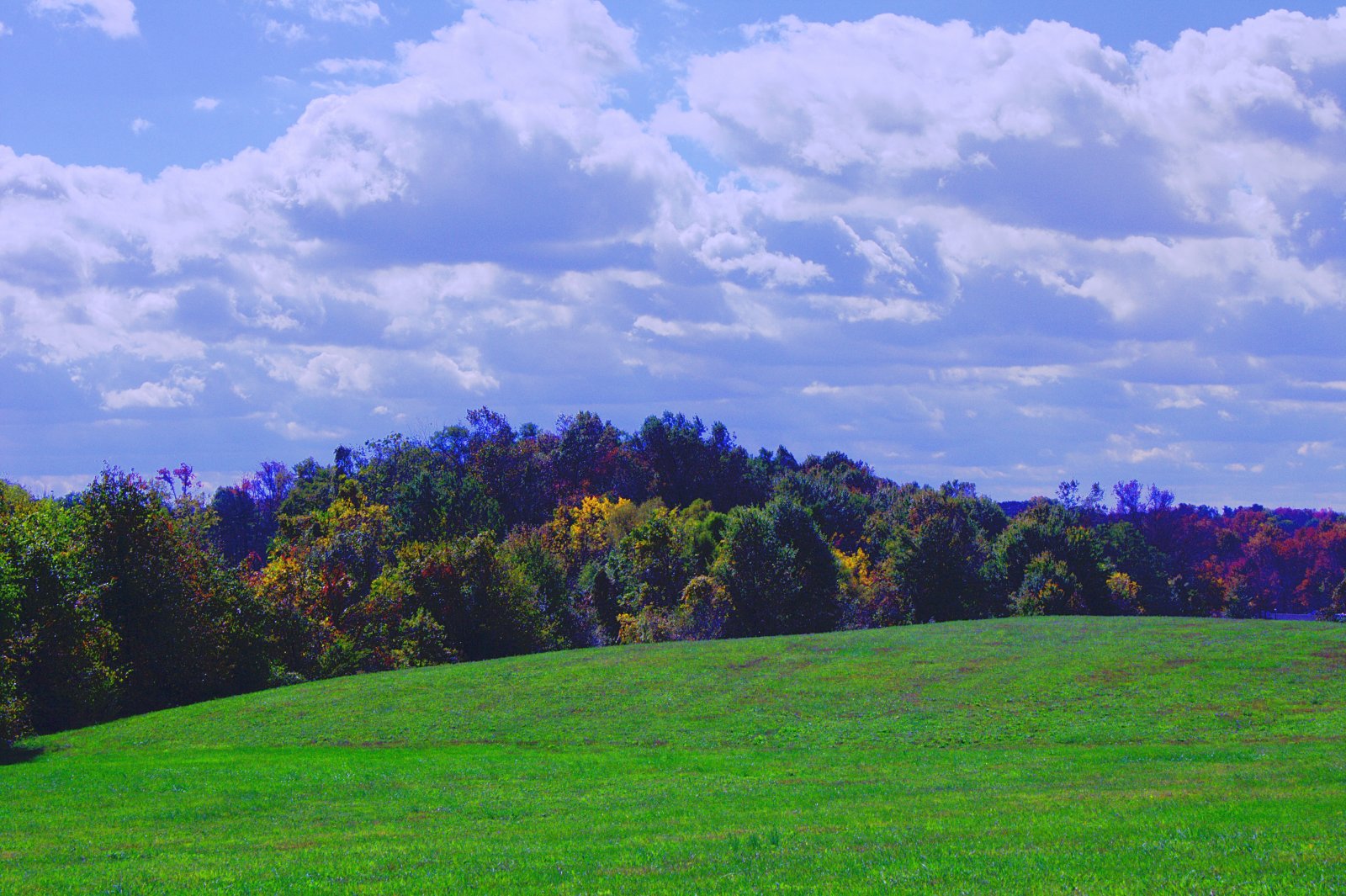
Autumn Creek
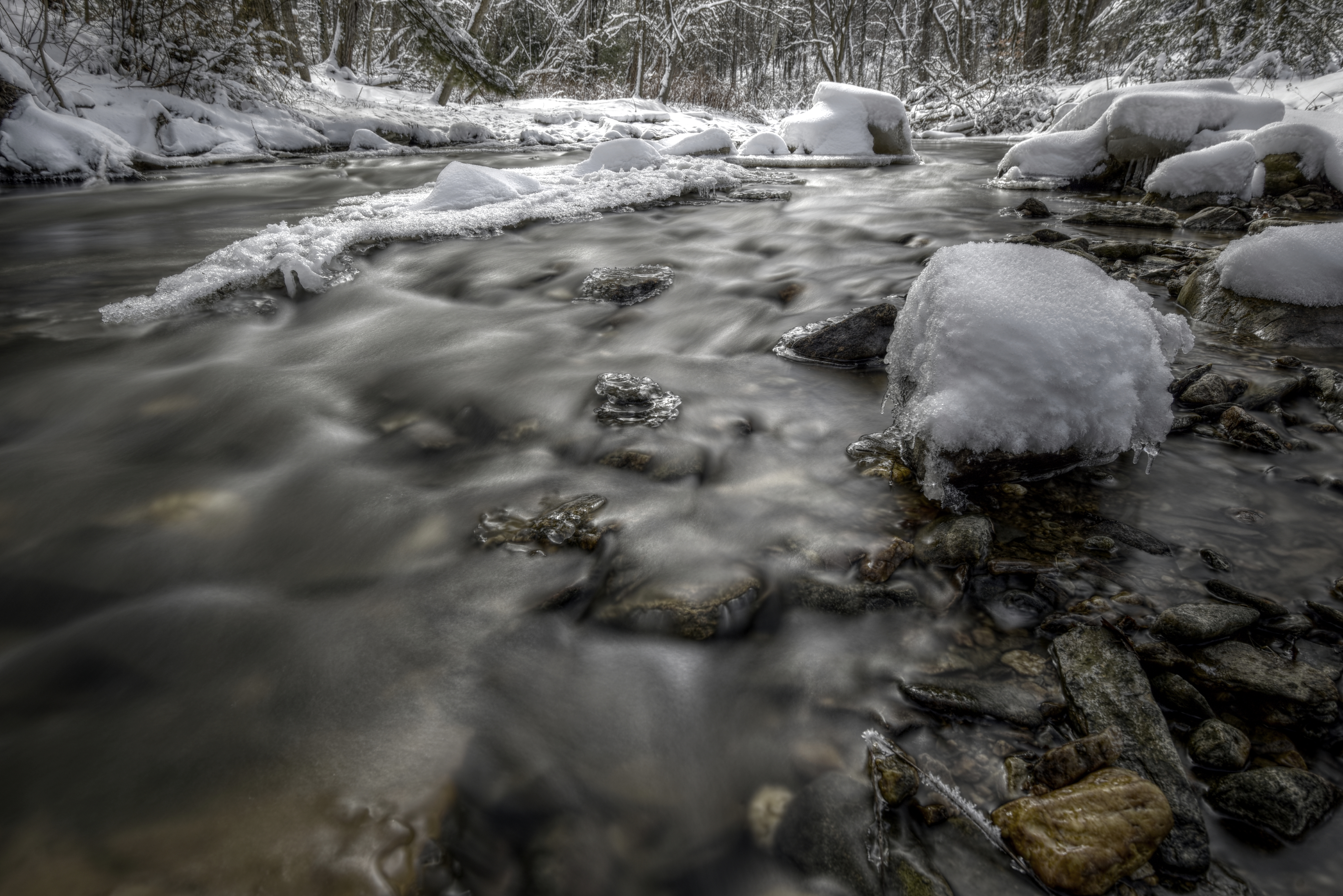
Winter Creek

Cloudy Afternoon

First Snow

Autumn Stream
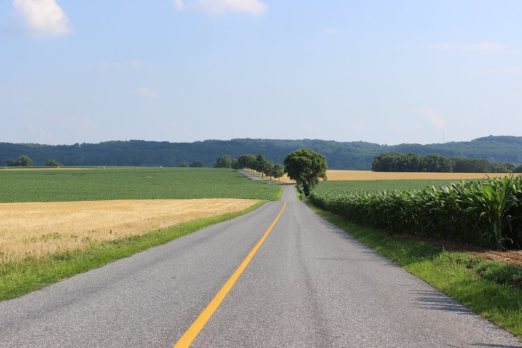
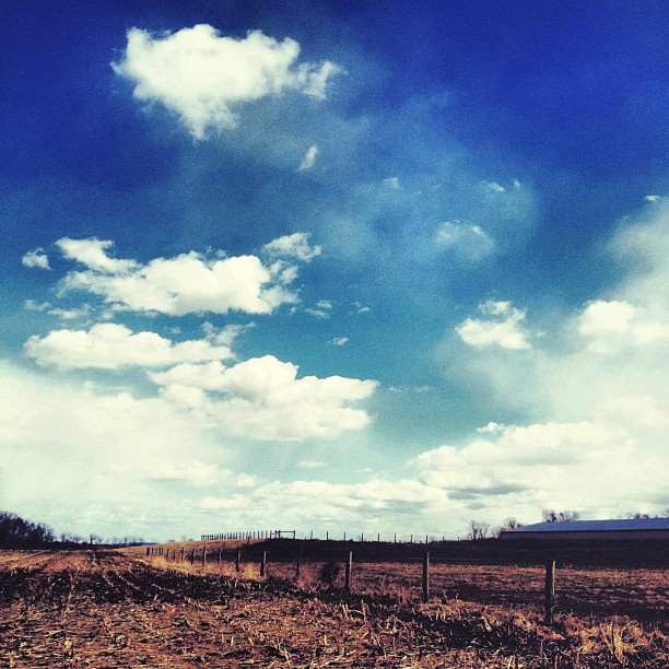
Pennsylvania Rural Landscape

Those clouds though....

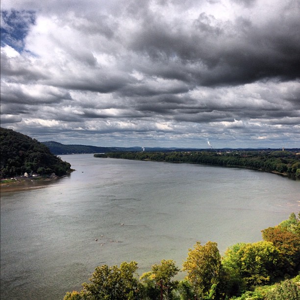
Sunset On The Susquehanna
Bair's Mill

Emerald city...

Columbia–Wrightsville Bridge
Endless....
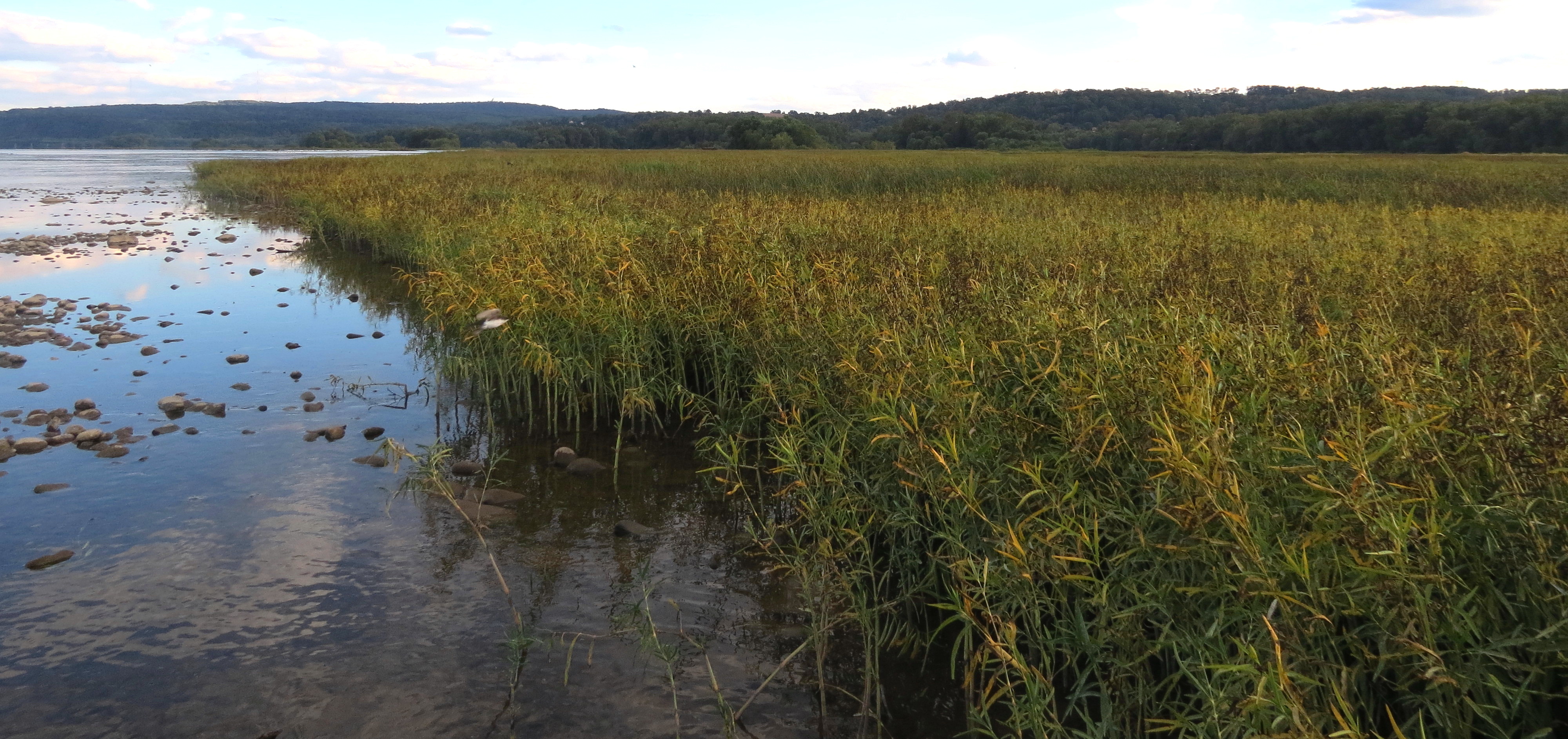
#river #pennsylvania
Cold Flow #2
scape2.jpg

We need to paint with all the colors of the wind....
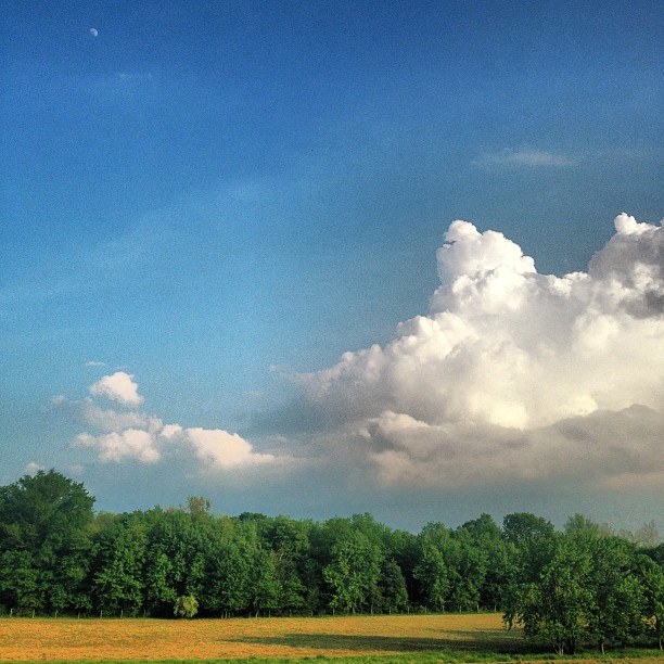
Tiny moon and giant clouds....
scape1.jpg

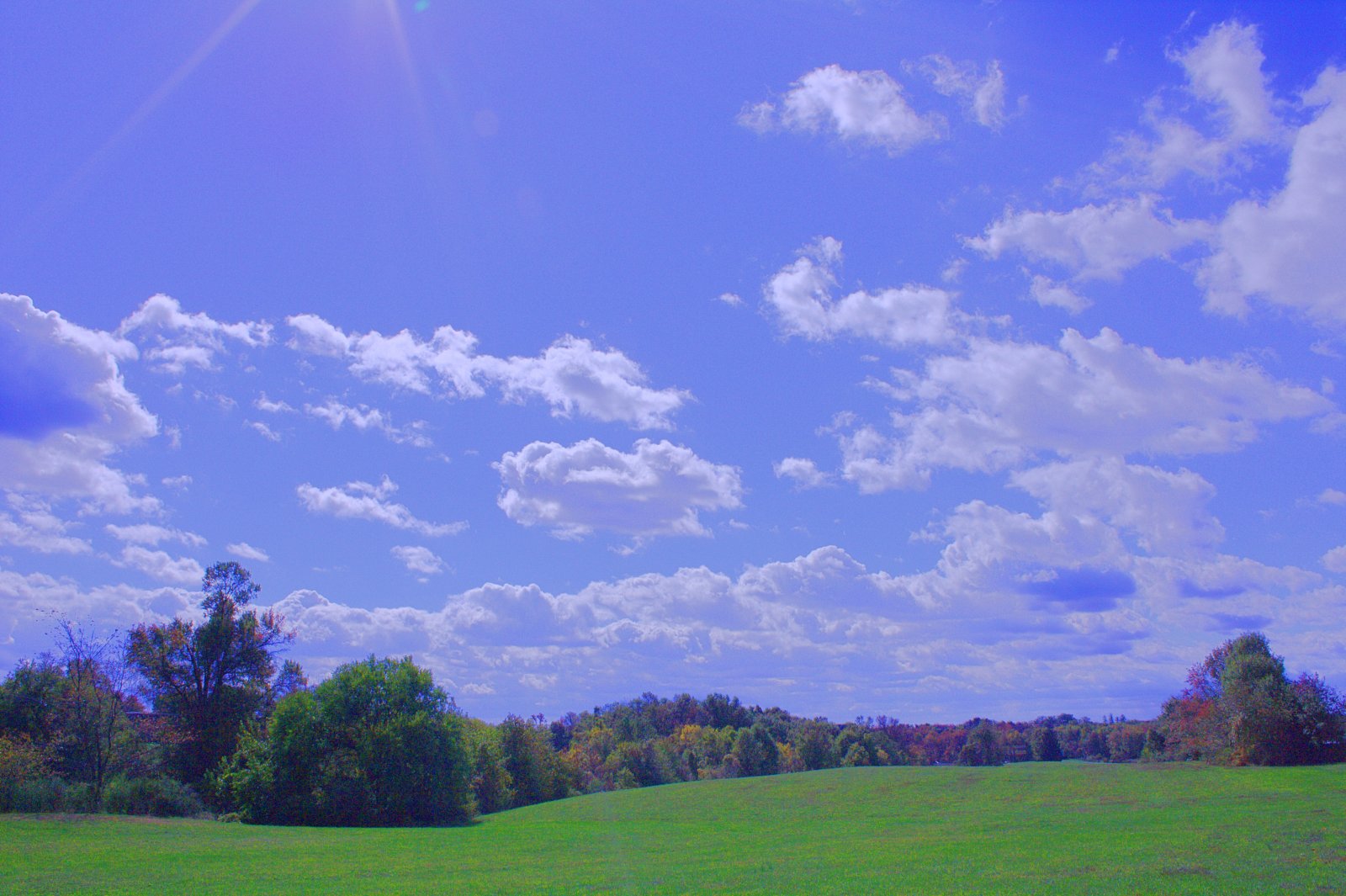
Pennsylanian Big Sky
Topographic Map of Bainbridge, PA, USA
Find elevation by address:

Places in Bainbridge, PA, USA:
Places near Bainbridge, PA, USA:
114 Race St
2060 Stone Mill Rd
2676 Bainbridge Rd
2039 Stonemill Dr
Unnamed Road
2677 Bainbridge Rd
2108 River Rd
808 Stackstown Rd
2294 River Rd
Pennsylvania 441
1992 Stone Mill Rd
Conoy Township
1371 Amosite Rd
1251 Amosite Rd
1320 Bair Rd
1339 Keener Rd
1344 Keener Rd
159 Yoder Rd
198 Black Swamp Rd
201 Black Swamp Rd
Recent Searches:
- Elevation of S Layton Cir W, Layton, UT, USA
- Elevation of F36W+3M, Mussoorie, Uttarakhand, India
- Elevation of Fairland Ave, Fairhope, AL, USA
- Elevation of Sunset Dr, Richmond, VA, USA
- Elevation of Grodna District, Hrodna Region, Belarus
- Elevation of Hrodna, Hrodna Region, Belarus
- Elevation of Sandia Derby Estates, Tijeras, NM, USA
- Elevation of 23 Sunrise View Ct, Tijeras, NM, USA
- Elevation of Lytham Ln, Katy, TX, USA
- Elevation of Tater Hill, Oklahoma, USA