Elevation of Bailey Line Rd, Evansville, ON P0P 1E0, Canada
Location: Canada > Ontario > Manitoulin District > Burpee And Mills > Evansville >
Longitude: -82.596639
Latitude: 45.7787175
Elevation: 201m / 659feet
Barometric Pressure: 99KPa
Elevation Map:
Satellite Map:
Related Photos:

Typical view of a Virginia Rail
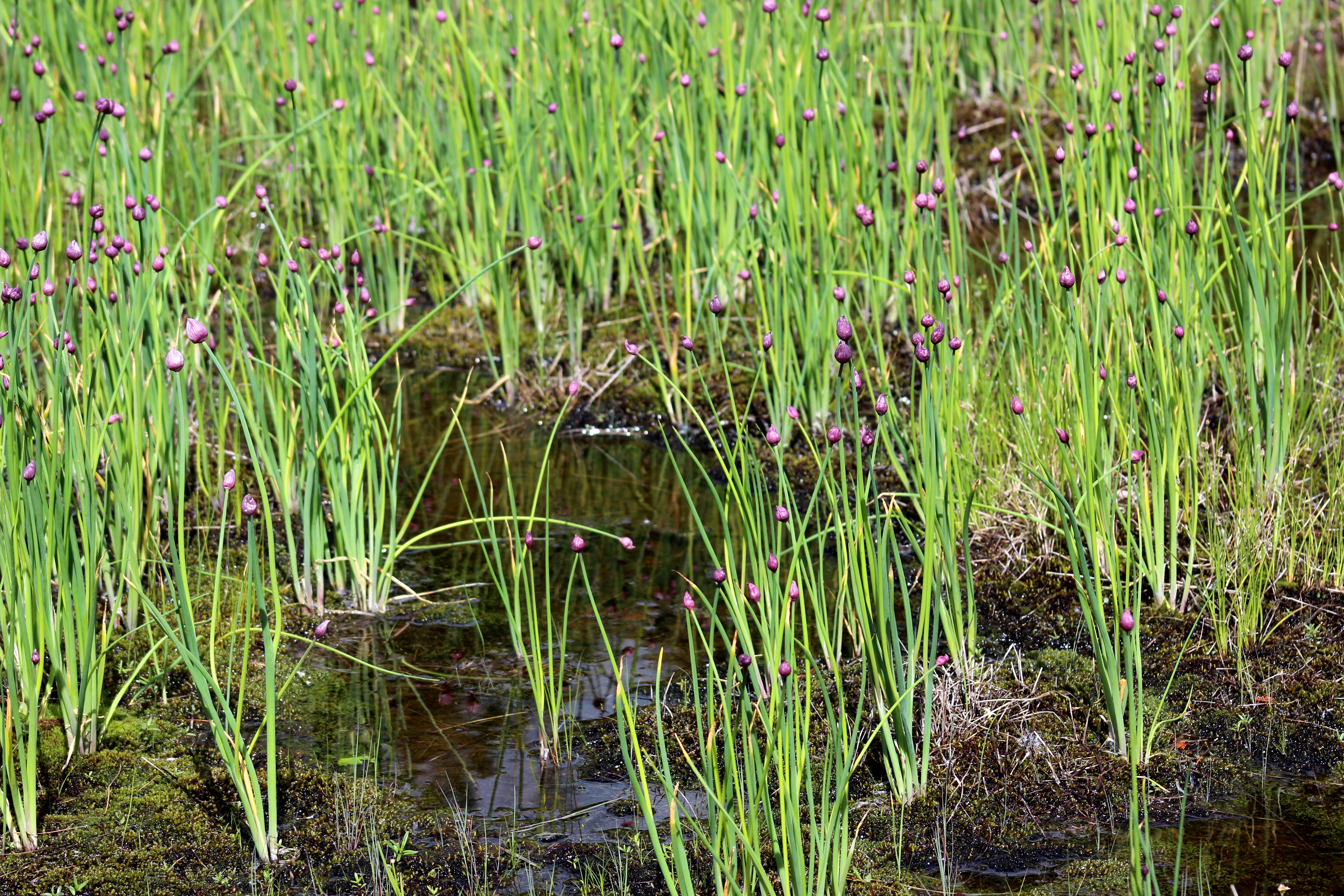
Allium schoenoprasum (Wild Chive)
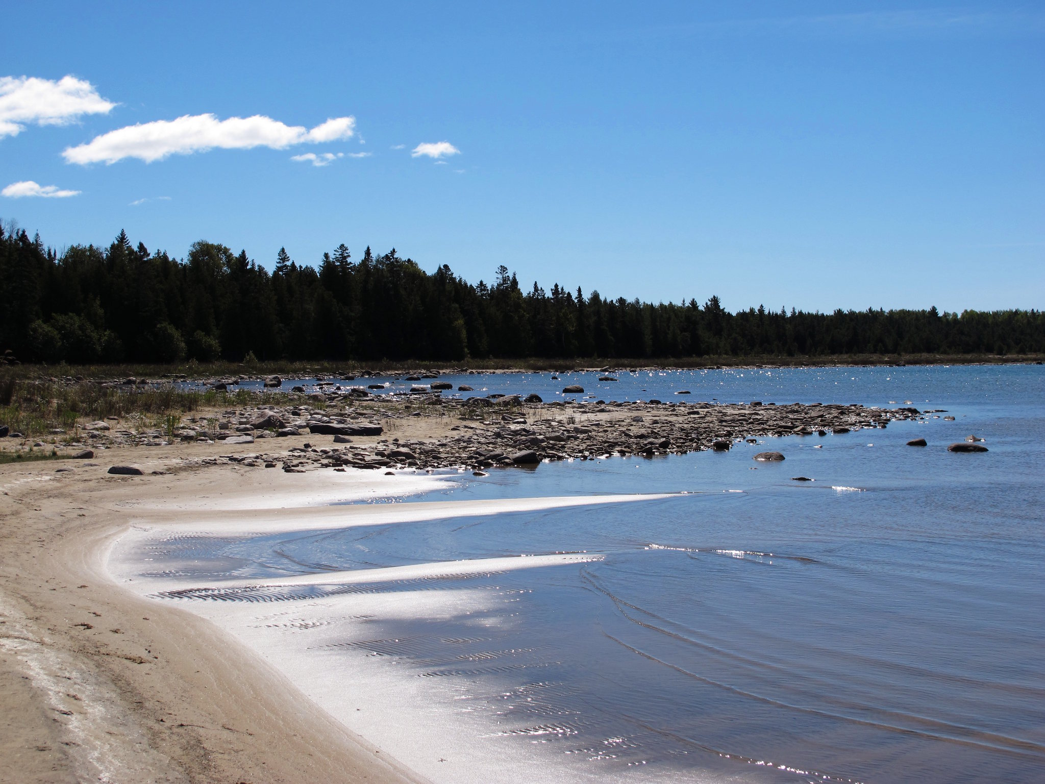
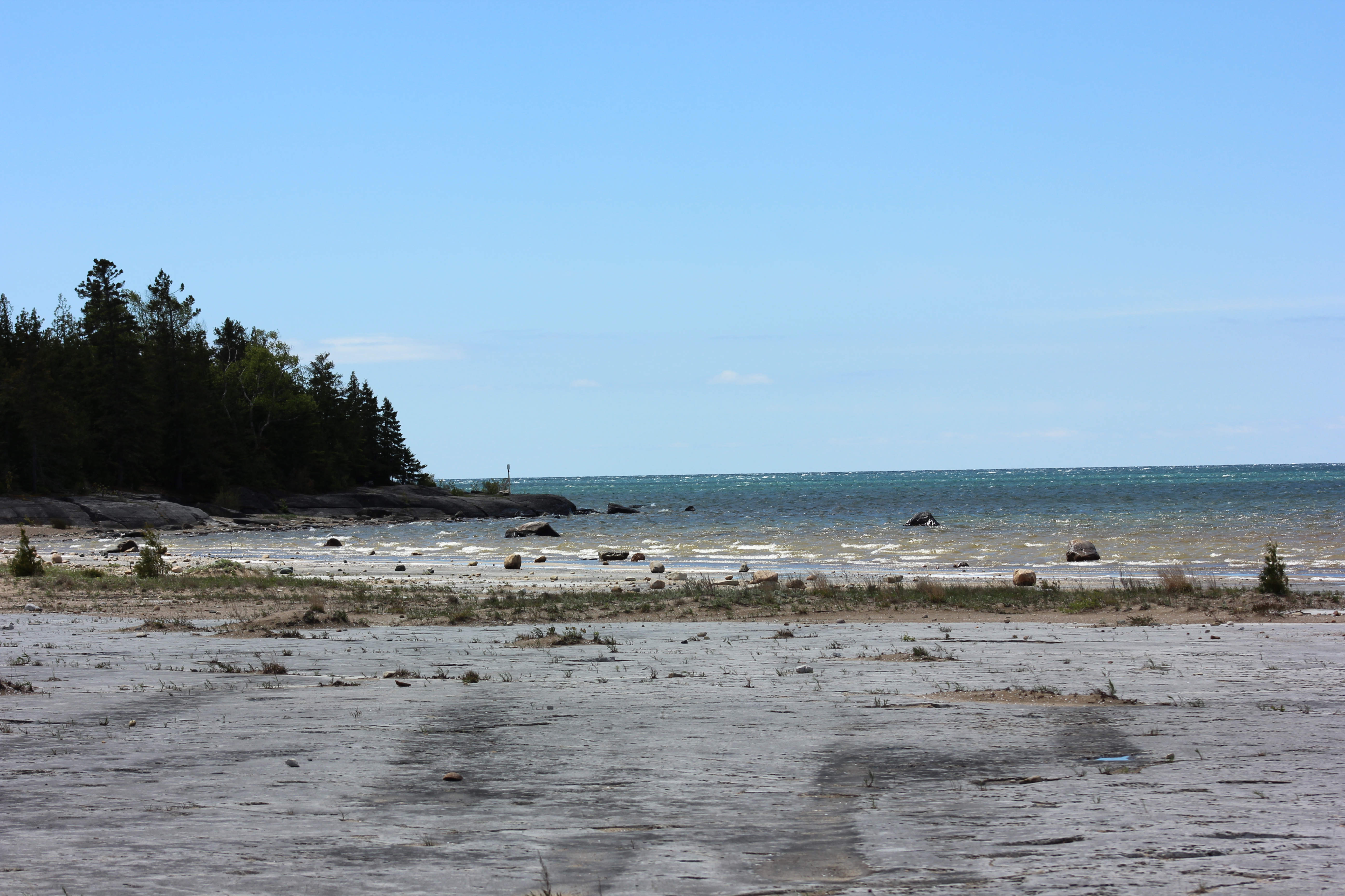
Misery Bay 3
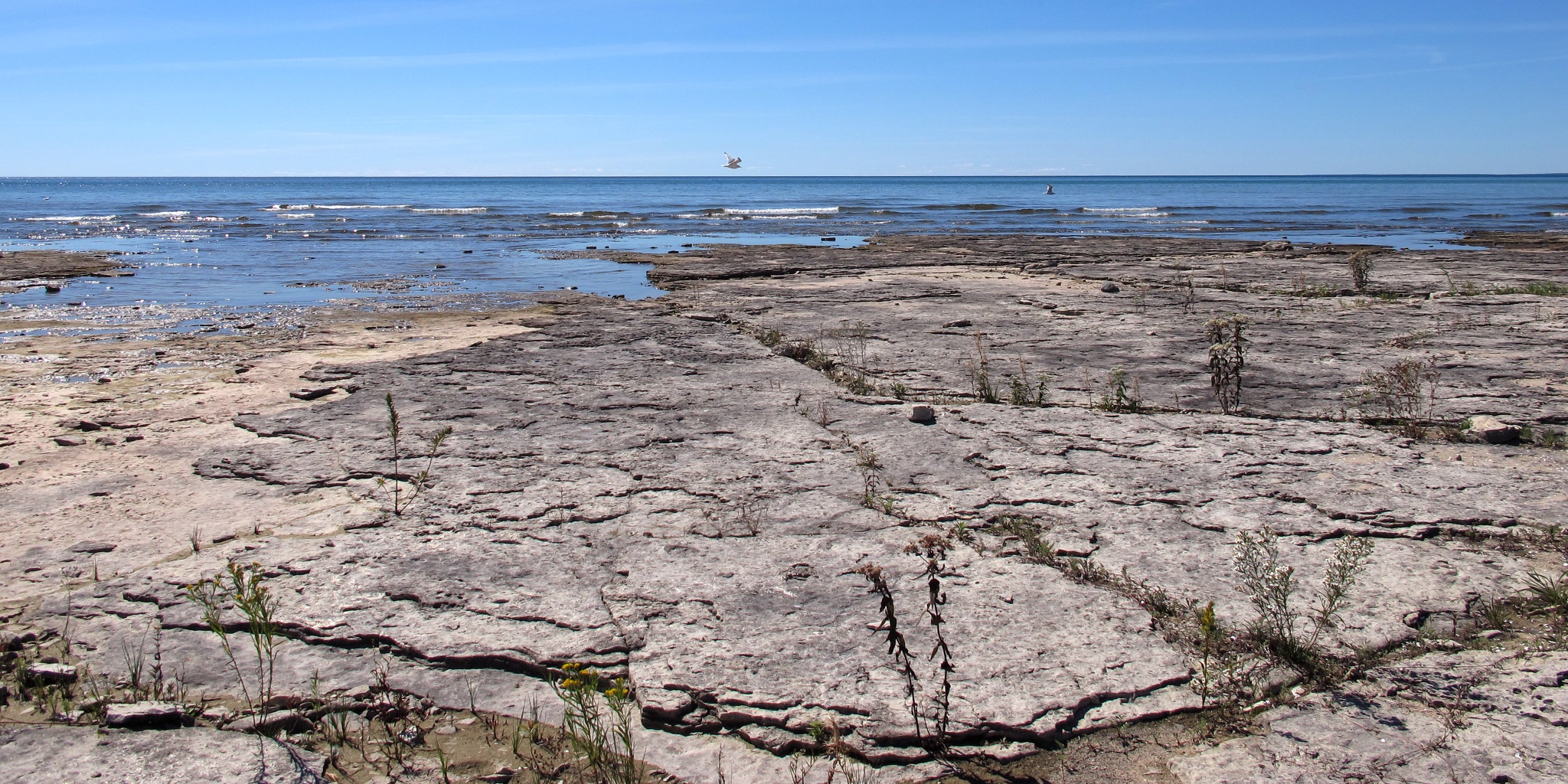
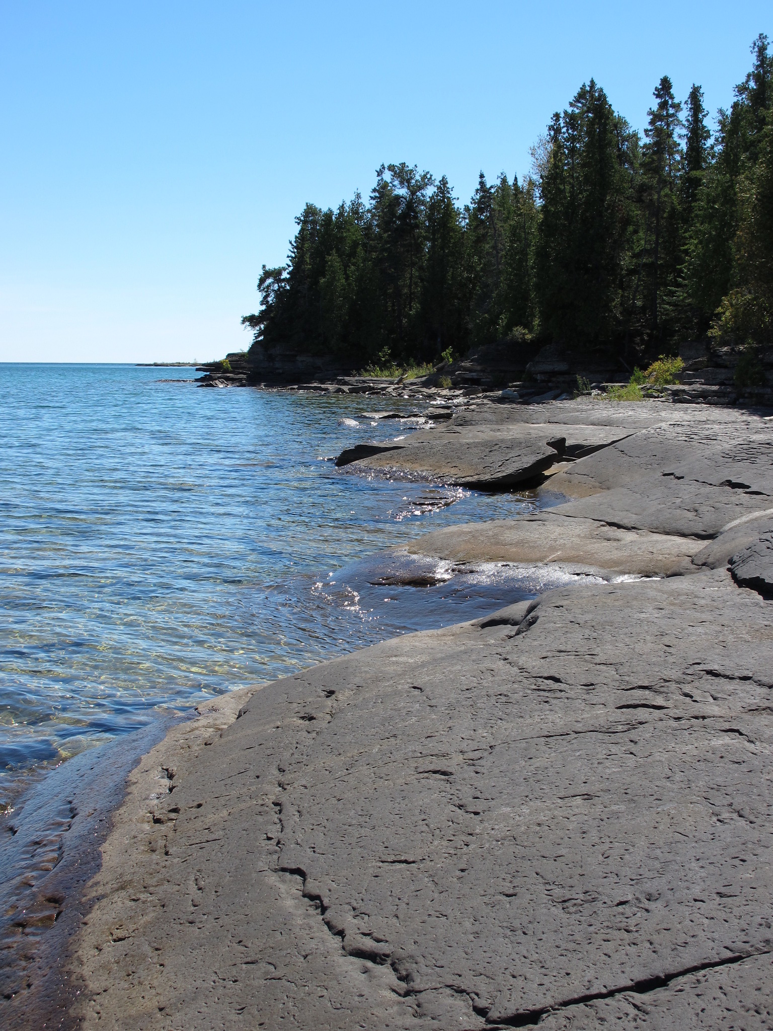
Misery Bay 11
Misery Bay 10
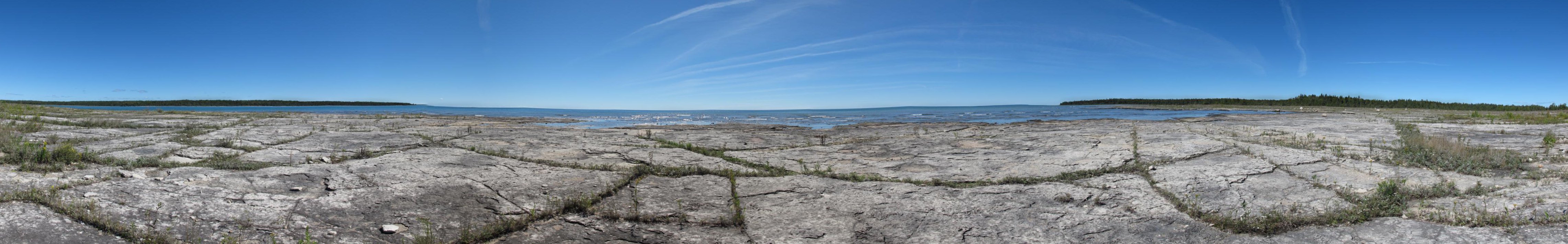
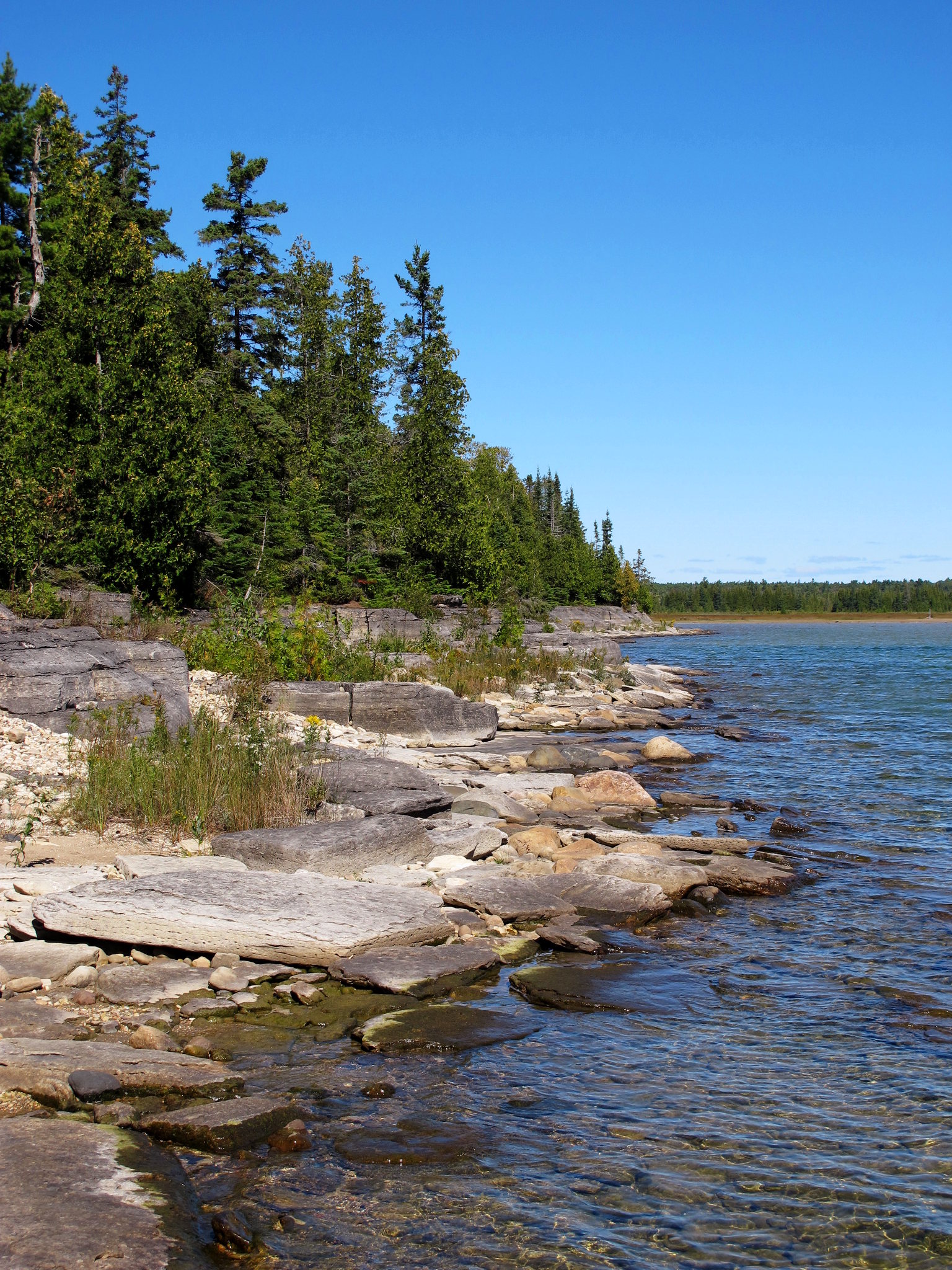
Misery Bay Alvar
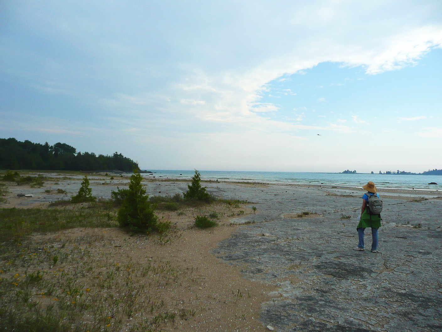
Misery Bay, Manitoulin Island
Misery Bay 7
Misery Bay 12
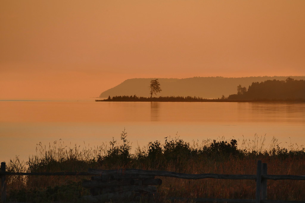
Dawn at Julia Bay

Dawn at Barrie Island
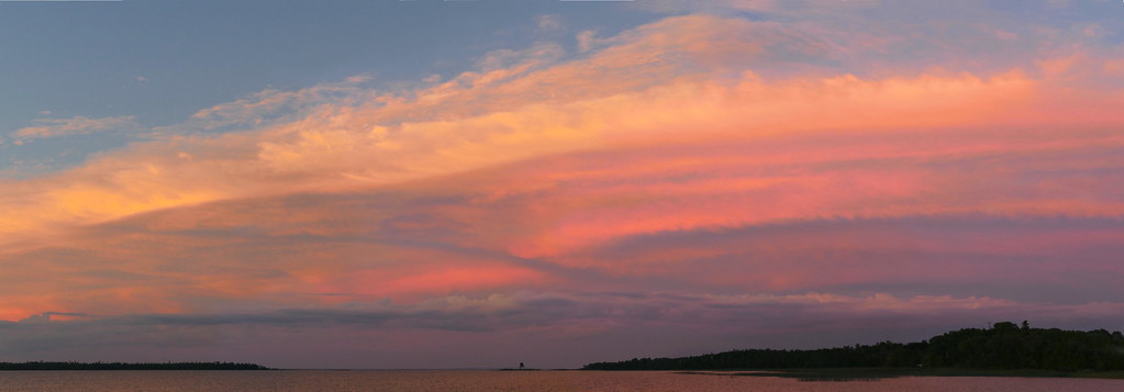
Sunset over Julia Bay
Topographic Map of Bailey Line Rd, Evansville, ON P0P 1E0, Canada
Find elevation by address:

Places near Bailey Line Rd, Evansville, ON P0P 1E0, Canada:
Burpee And Mills
1821 Union Rd
P0p 1e0
Evansville
Gore Bay
13 Hall St
205 Pinetree Trail
Gordon
ON-, Silver Water, ON P0P 1Y0, Canada
1187 Tenth Line
1187 Tenth Line
Silver Water
Spring Bay
Manitoulin, Unorganized, West Part
97 Sextant Point Dr
Sextant Point Dr, Kagawong, ON P0P 1H0, Canada
Kagawong
Kagawong
Kagawong
Kagawong
Recent Searches:
- Elevation of Zimmer Trail, Pennsylvania, USA
- Elevation of 87 Kilmartin Ave, Bristol, CT, USA
- Elevation of Honghe National Nature Reserve, QP95+PJP, Tongjiang, Heilongjiang, Jiamusi, Heilongjiang, China
- Elevation of Hercules Dr, Colorado Springs, CO, USA
- Elevation of Szlak pieszy czarny, Poland
- Elevation of Griffing Blvd, Biscayne Park, FL, USA
- Elevation of Kreuzburger Weg 13, Düsseldorf, Germany
- Elevation of Gateway Blvd SE, Canton, OH, USA
- Elevation of East W.T. Harris Boulevard, E W.T. Harris Blvd, Charlotte, NC, USA
- Elevation of West Sugar Creek, Charlotte, NC, USA