Elevation of Bahnhofstraße 4, Ustersbach, Germany
Location: Austria > Bavaria > Swabia > Ustersbach > Mödishofen >
Longitude: 10.65271
Latitude: 48.32483
Elevation: 480m / 1575feet
Barometric Pressure: 96KPa
Elevation Map:
Satellite Map:
Related Photos:
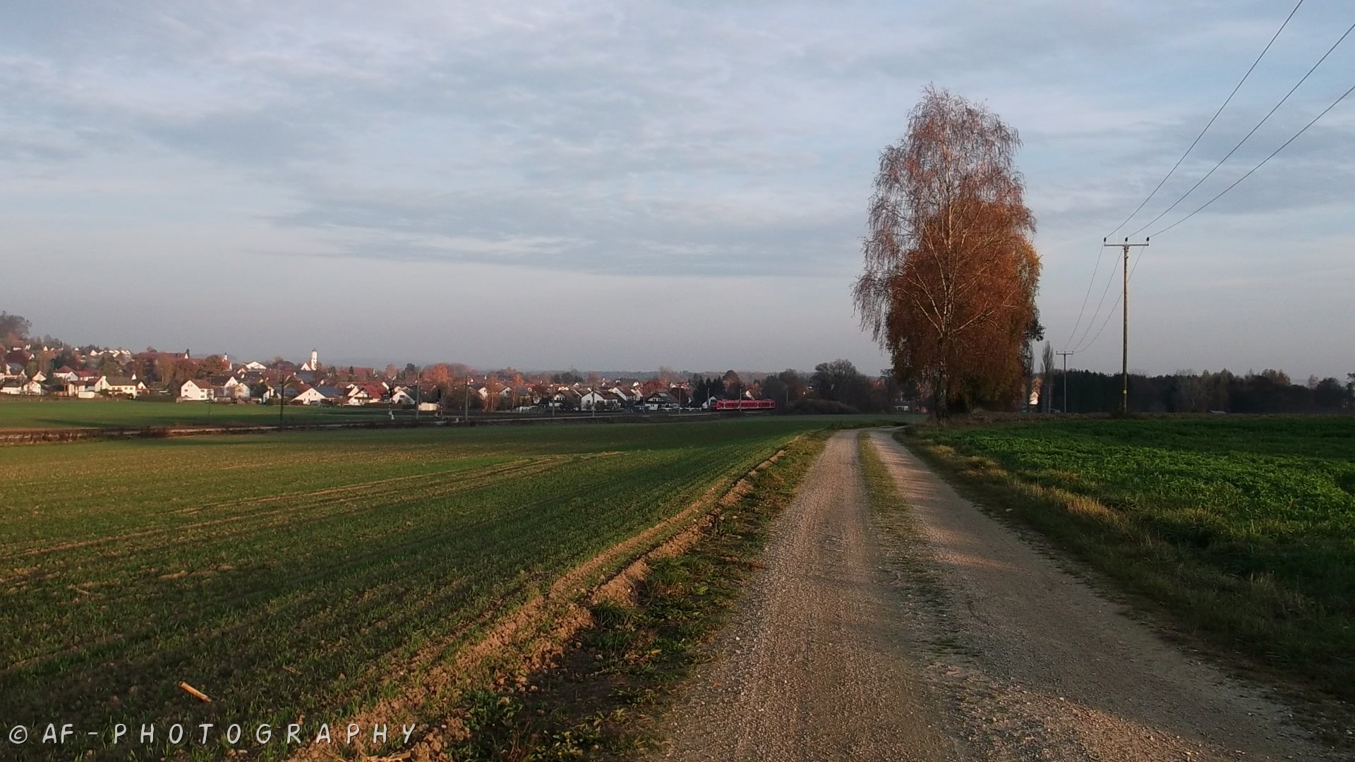
View to Dinkelscherben village
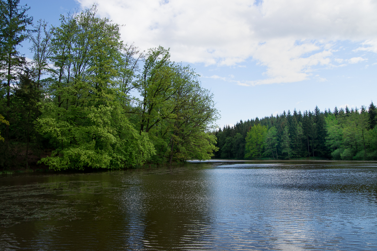
Anhauser Weiher

cheap sunglasses

cold blue

Augsburg's Bismark Turm view

ICE 595 Berlin Ostbahnhof - München HBF

EC 319 Frankfurt (Main) HBF - Graz HBF

ICE 516 München HBF - Dortmund HBF

ICE 516 München HBF - Dortmund HBF

EC 319 Frankfurt (Main) HBF - Graz HBF

Take Me To The Riot
easter view

Haltepunkt Kutzenhausen

Daily Buddha 2008-11-16

sleeping?
The acid side of the lake

Crops I

On the hill
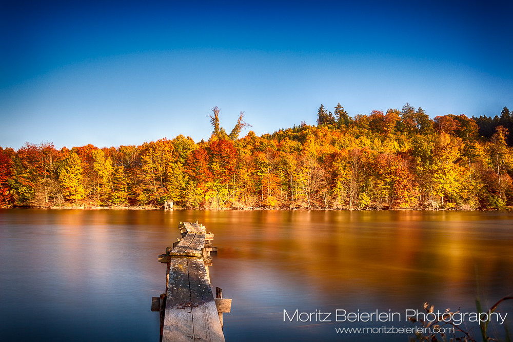
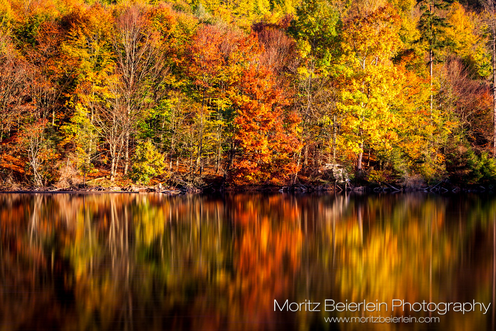
Indian summer
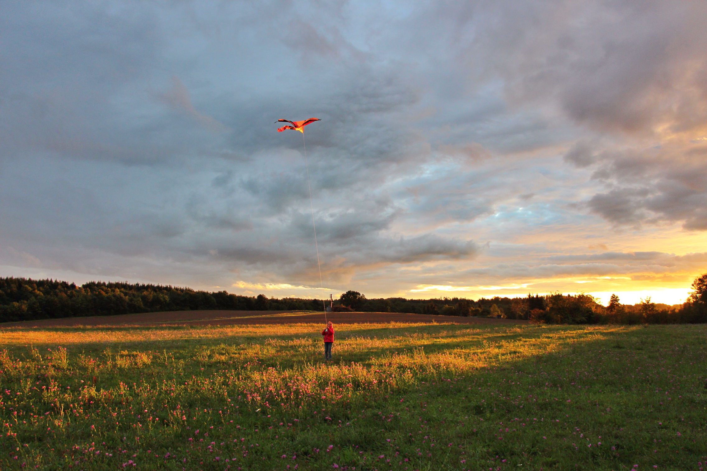
Fly to the sun

Crops IV
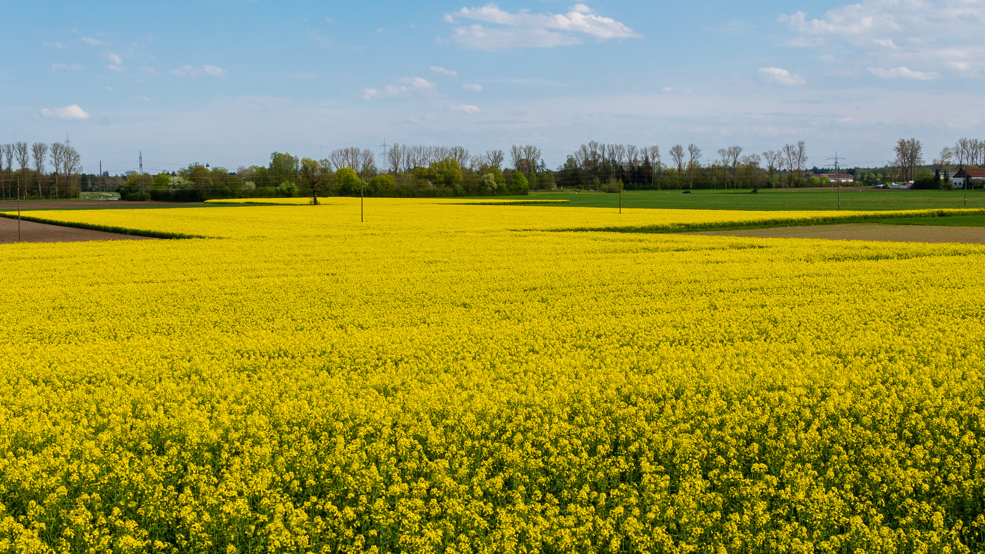
2016-04-30-001-MaMa - Wellenburg - Raps - 0019 - C00001s - W1920

Silvery sea

(Hillside Goats)

2016-04-30-001-MaMa - Wellenburg - Raps - 0004 - C00001s - W1920

Волшебные фонтаны виллы Д'Эсте в #Тиволи. #артурякуцевич #италиявапреле #жизньвкайф #ЖИЗНЬВИТАЛИИ #ЖИЗНЬВРИМЕ

Christmas forest
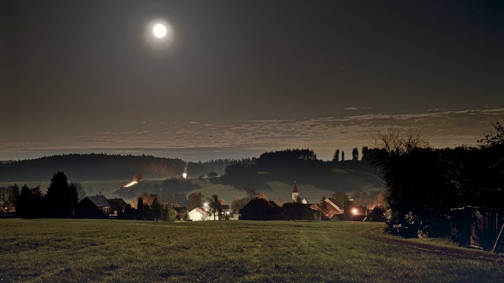
(Landscape in moon light)HDR
Bronze sunset
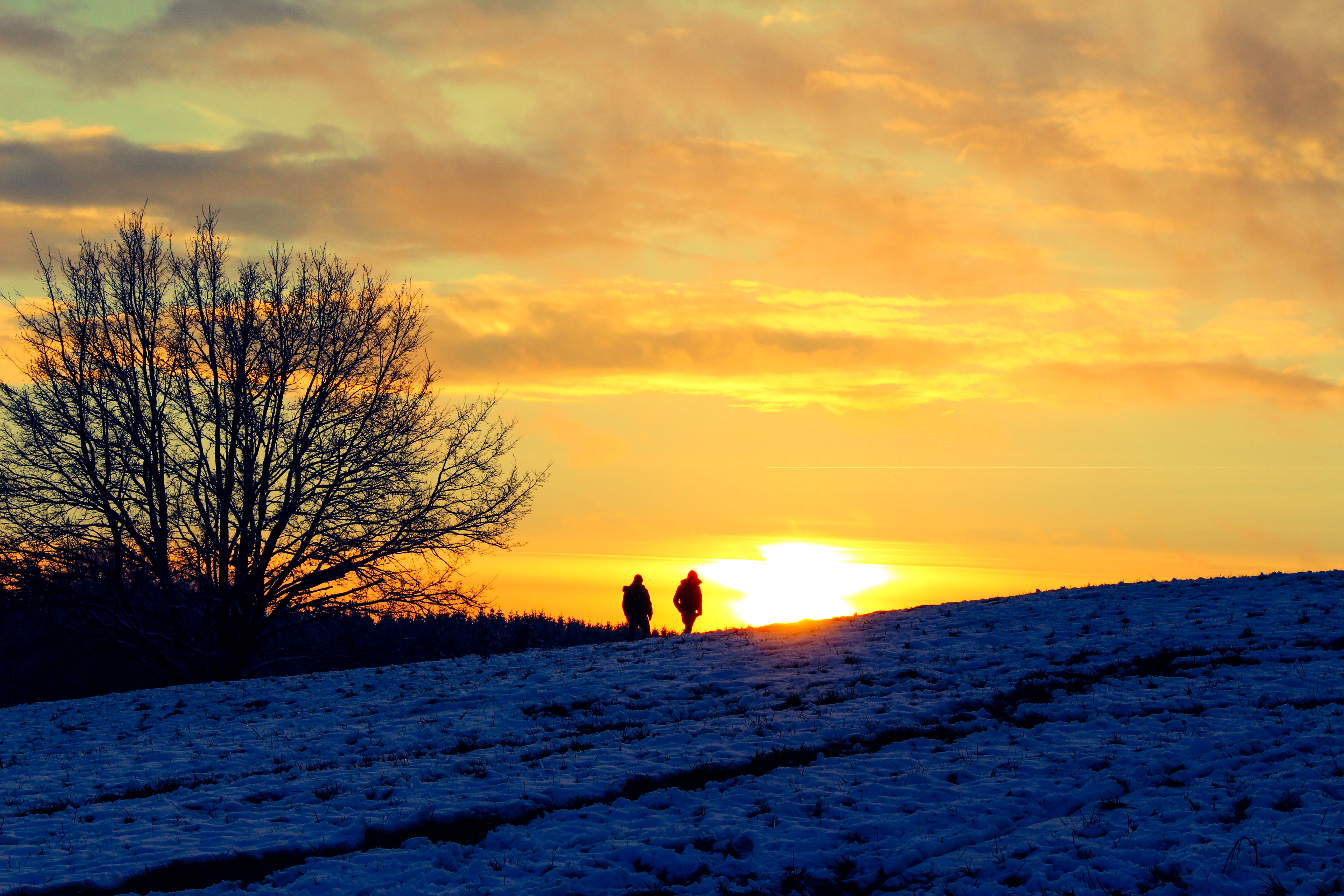
Evening walk
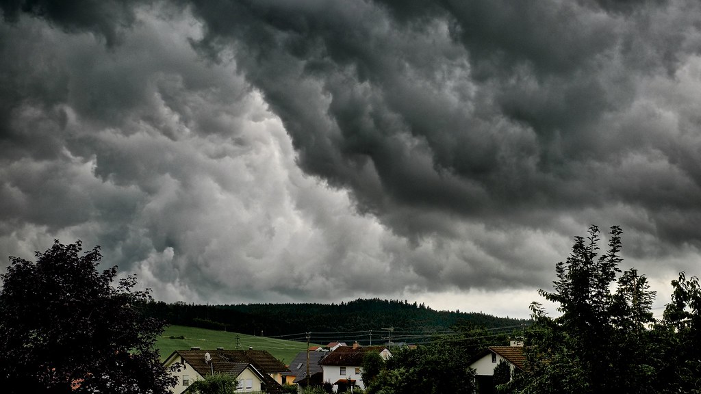
(dramaticl) HDR
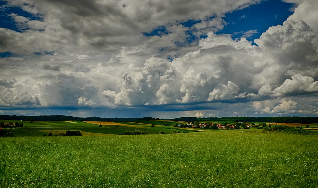
(Clouds over Allgäu) HDR
Christmas forest

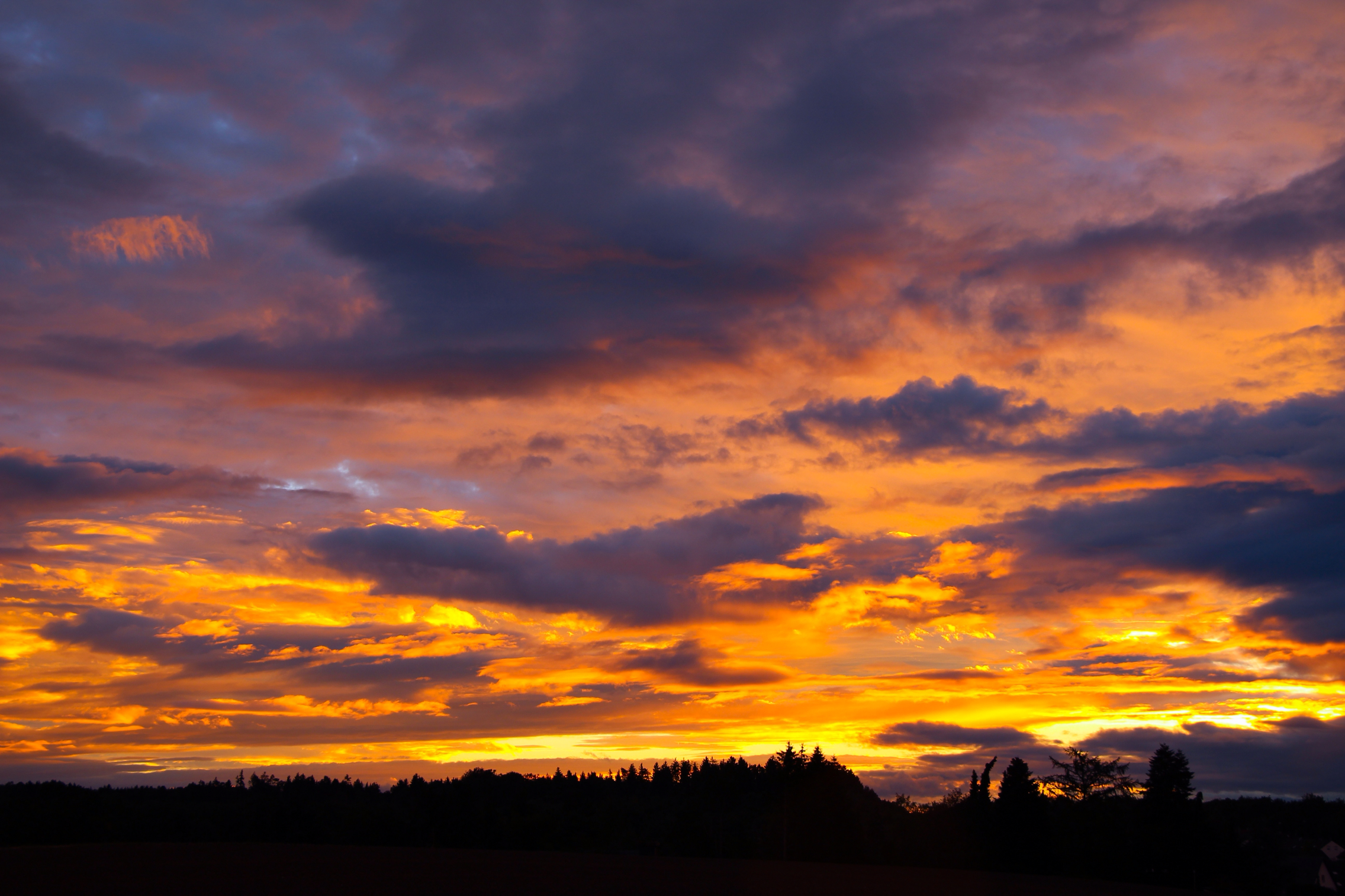
Sunset lights
Topographic Map of Bahnhofstraße 4, Ustersbach, Germany
Find elevation by address:

Places near Bahnhofstraße 4, Ustersbach, Germany:
Mödishofen
Ustersbach
1a
Breitenbronn
1a
Im Gäßle 1, Gessertshausen, Germany
Mickhausen
Von-Schnurbein-Straße 13, Dinkelscherben, Germany
Ettelried
Fuggerstraße 6, Mickhausen, Germany
Rielhofen
Walkertshofen
Ebrach 3, Walkertshofen, Germany
Kathreinerstraße 2, Augsburg, Germany
Graben
Oberottmarshausen
Hauptstraße 1, Oberottmarshausen, Germany
Augsburg Arena
Augsburg-universitätsviertel
Dywidag-systems International Gmbh
Recent Searches:
- Elevation of 6 Muir St, Medowie NSW, Australia
- Elevation of Woodland Road, Woodland Rd, Lee, MA, USA
- Elevation of Turner Mill Rd, Talladega, AL, USA
- Elevation of Wylie Ridge Rd, New Cumberland, WV, USA
- Elevation of Dogwood Ln, Millsboro, DE, USA
- Elevation of Paseo Lucido, San Diego, CA, USA
- Elevation of W S, Orem, UT, USA
- Elevation of Water Bird Wy, Punta Gorda, FL, USA
- Elevation of Teiskontie 8, Tampere, Finland
- Elevation of Pacific View Dr, Malibu, CA, USA