Elevation map of Bahagian Sandakan, Sabah, Malaysia
Location: Malaysia > Sabah >
Longitude: 118.113601
Latitude: 5.8433339
Elevation: 45m / 148feet
Barometric Pressure: 101KPa
Elevation Map:
Satellite Map:
Related Photos:
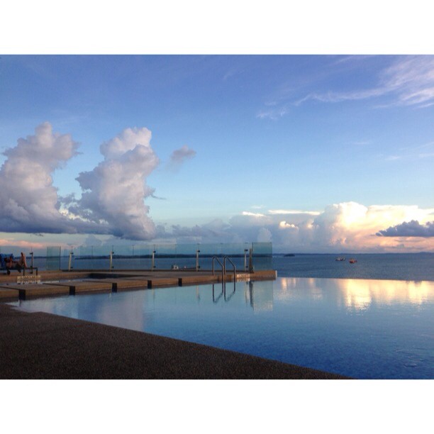
Last Tuesday at the pool #borneo #malaysia #sabah #sandakan #pool #zwembad #sky #reflection #clouds #vacation #vakantie #view #holiday
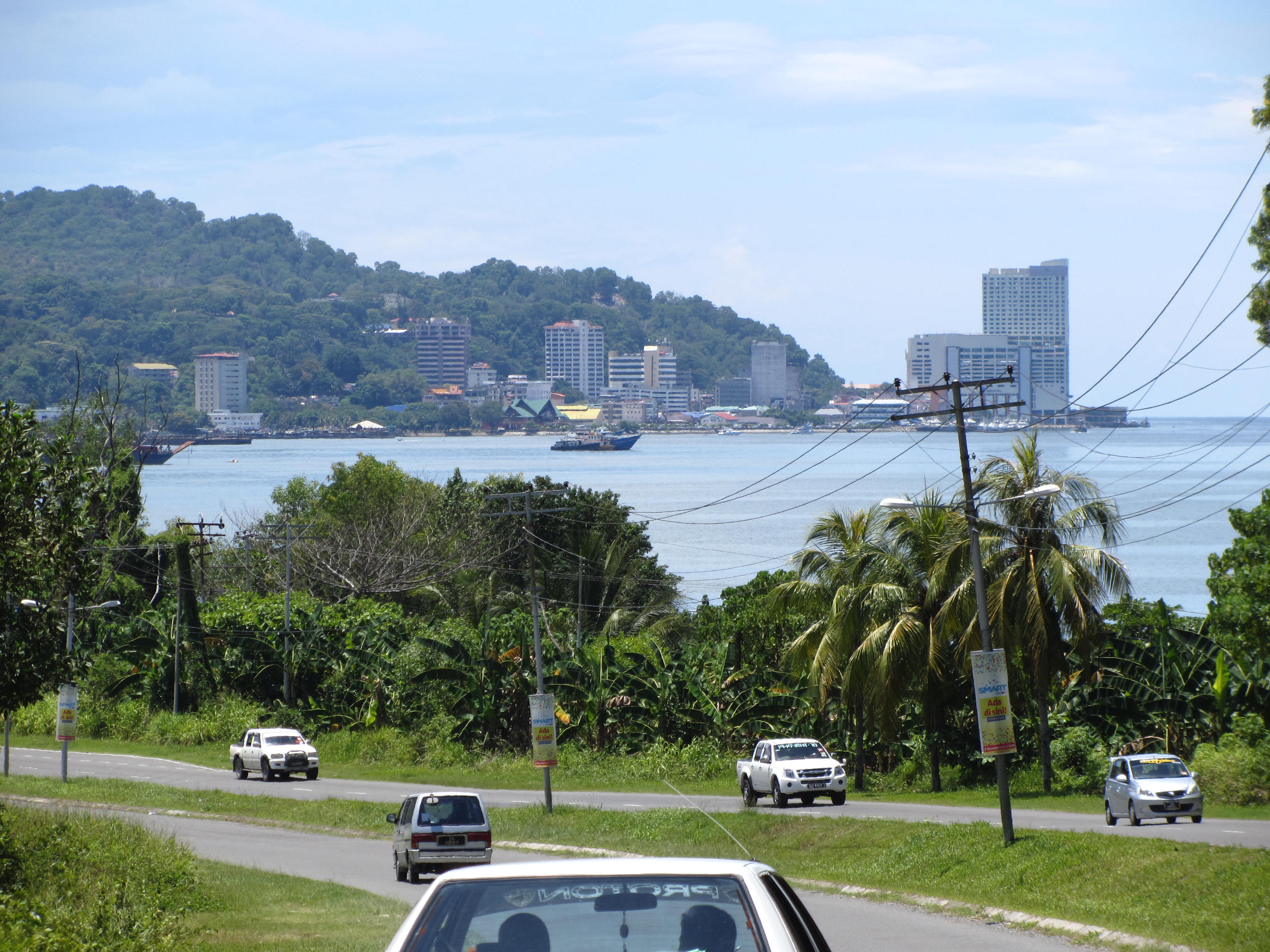
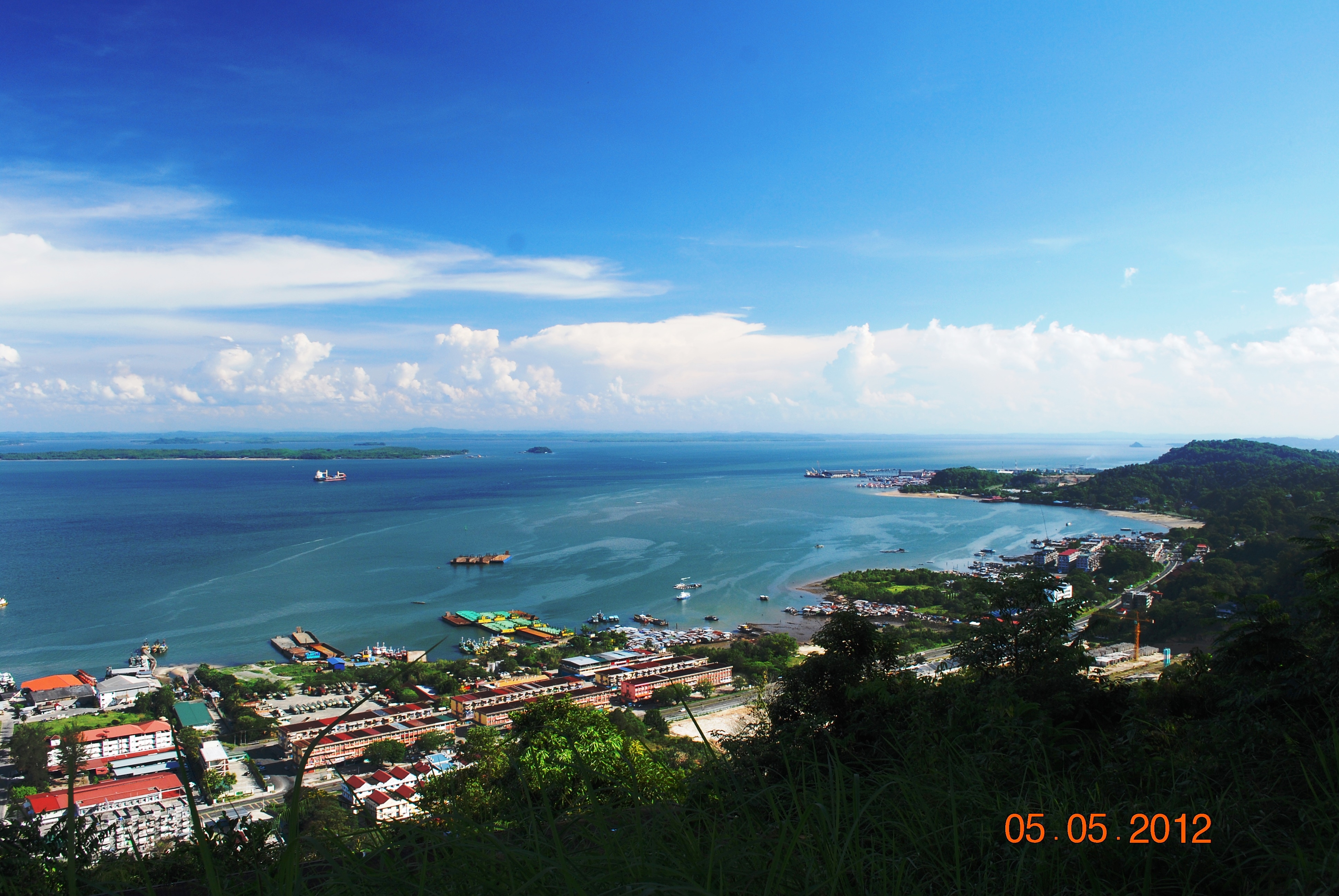
Sandakan City Centre View From Batu Sapi
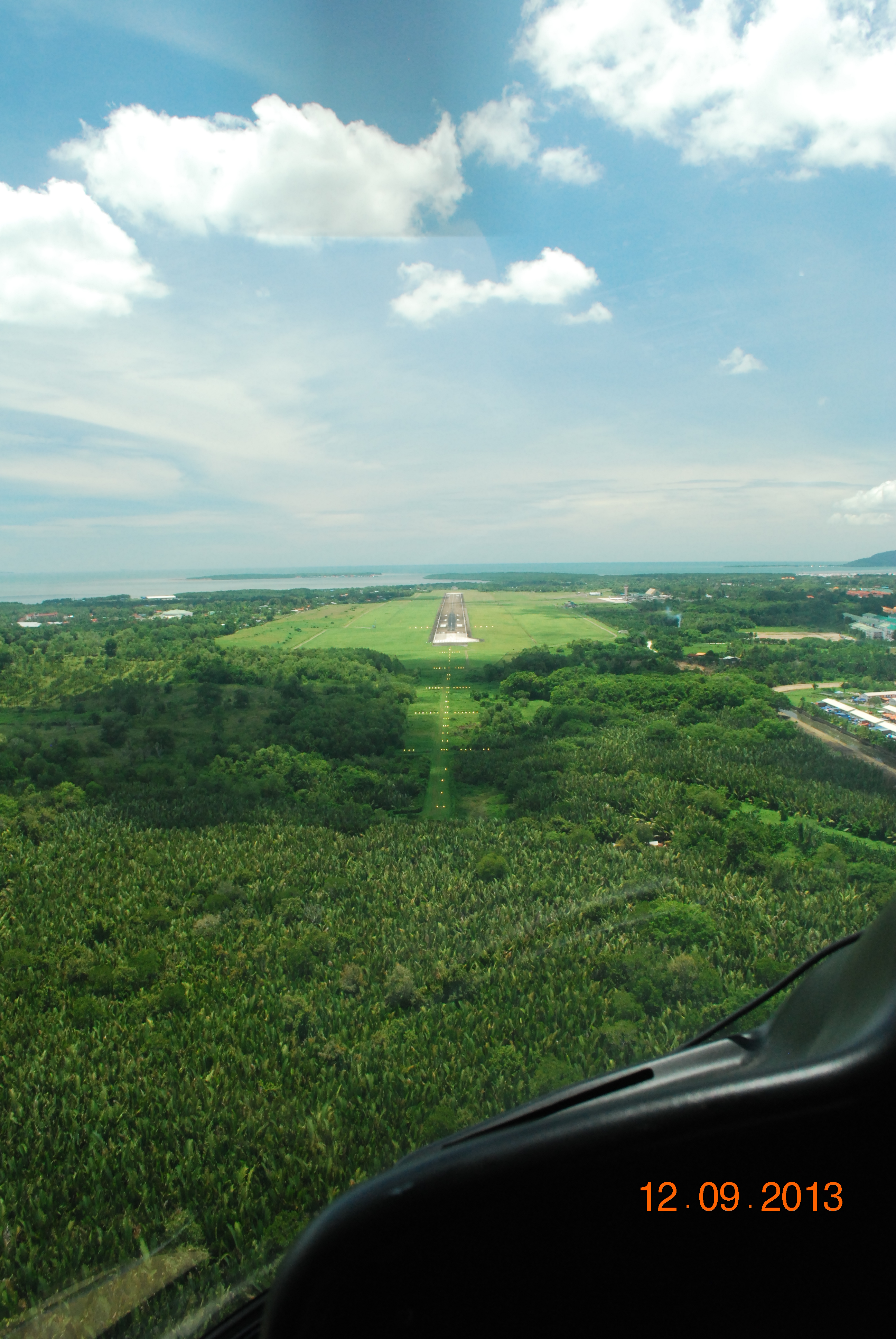
Sandakan Airport
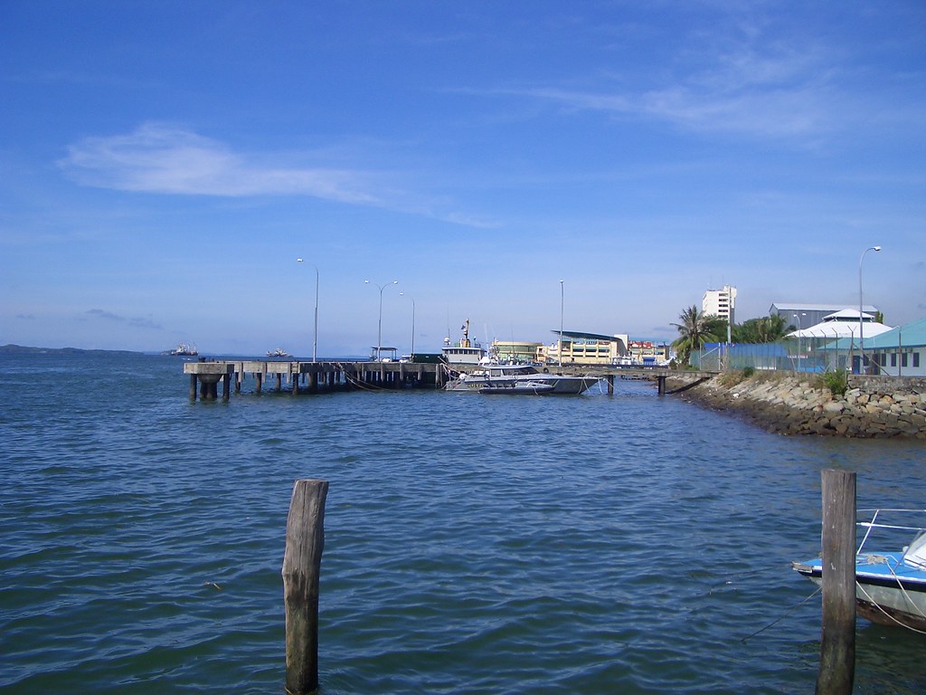
jetty view
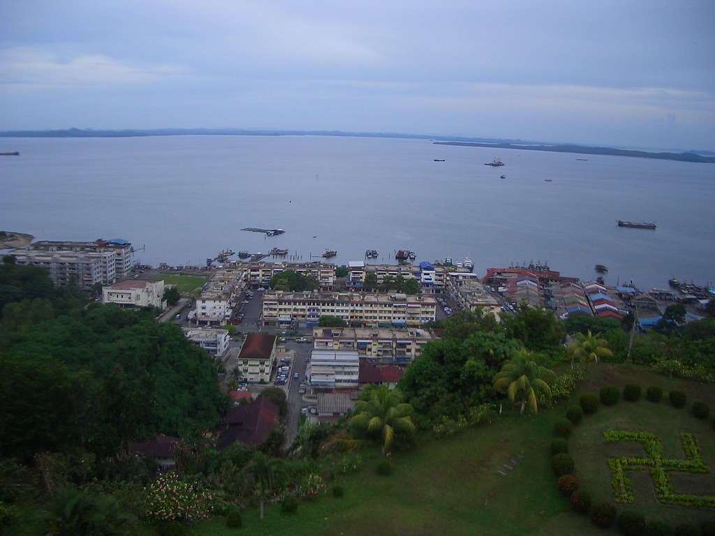
Trig Hill
Seaview from temple
Topographic Map of Bahagian Sandakan, Sabah, Malaysia
Find elevation by address:

Places in Bahagian Sandakan, Sabah, Malaysia:
Places near Bahagian Sandakan, Sabah, Malaysia:
Sandakan
Sandakan
Jalan Bukit Trig
Tm Bukit Trig, Sandakan
7509, Jalan Karamunting
Sandakan Memorial Park
Sepilok Forest Reserve
Sk Batu 16 Gum-gum
Beluran
Sekolah Kebangsaan Magandai
Sabah Tea Resort Cottage
Sungai Bengkoka
Kota Marudu
Kudat
Recent Searches:
- Elevation of Sadovaya Ulitsa, 20, Rezh, Sverdlovskaya oblast', Russia
- Elevation of Ulitsa Kalinina, 79, Rezh, Sverdlovskaya oblast', Russia
- Elevation of 72-31 Metropolitan Ave, Middle Village, NY, USA
- Elevation of 76 Metropolitan Ave, Brooklyn, NY, USA
- Elevation of Alisal Rd, Solvang, CA, USA
- Elevation of Vista Blvd, Sparks, NV, USA
- Elevation of 15th Ave SE, St. Petersburg, FL, USA
- Elevation of Beall Road, Beall Rd, Florida, USA
- Elevation of Leguwa, Nepal
- Elevation of County Rd, Enterprise, AL, USA