Elevation of Bagram, Afghanistan
Location: Afghanistan > Parvan > Chaharikar >
Longitude: 69.2549736
Latitude: 34.9402503
Elevation: 1485m / 4872feet
Barometric Pressure: 85KPa
Elevation Map:
Satellite Map:
Related Photos:
View from the right seat
Hindu Kush, Afghanistan
Hindu Kush, Afghanistan
010_8-015_13
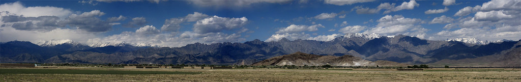
Hindu Kush Range, Bagram Afghanistan

Firing on McGregor Range

Firing on McGregor Range

Firing 50 Calibre Rifle
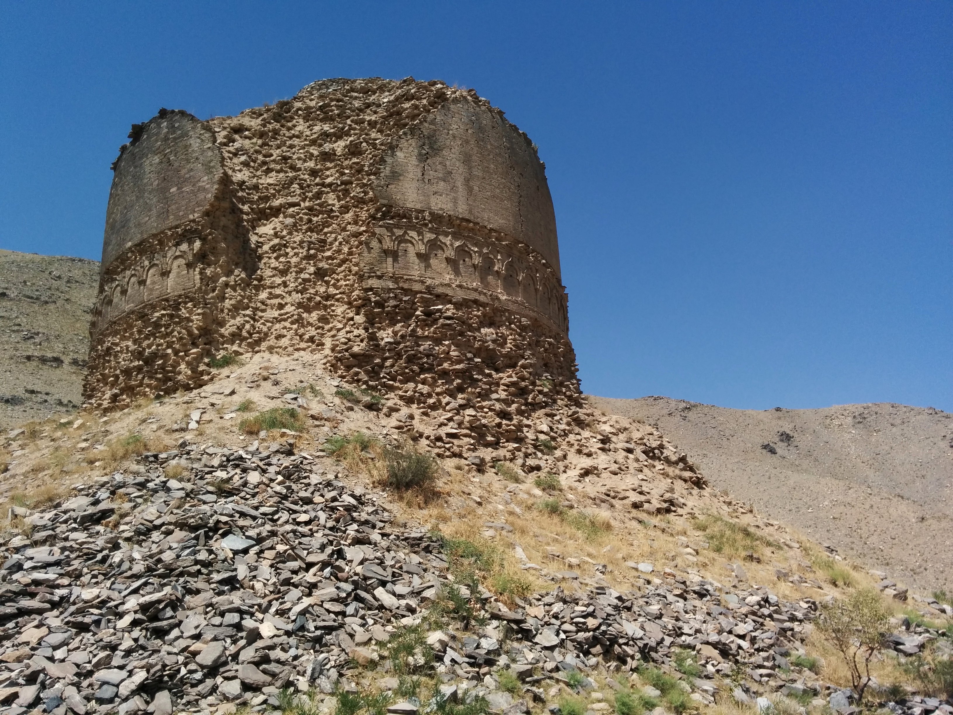
Toop Dara
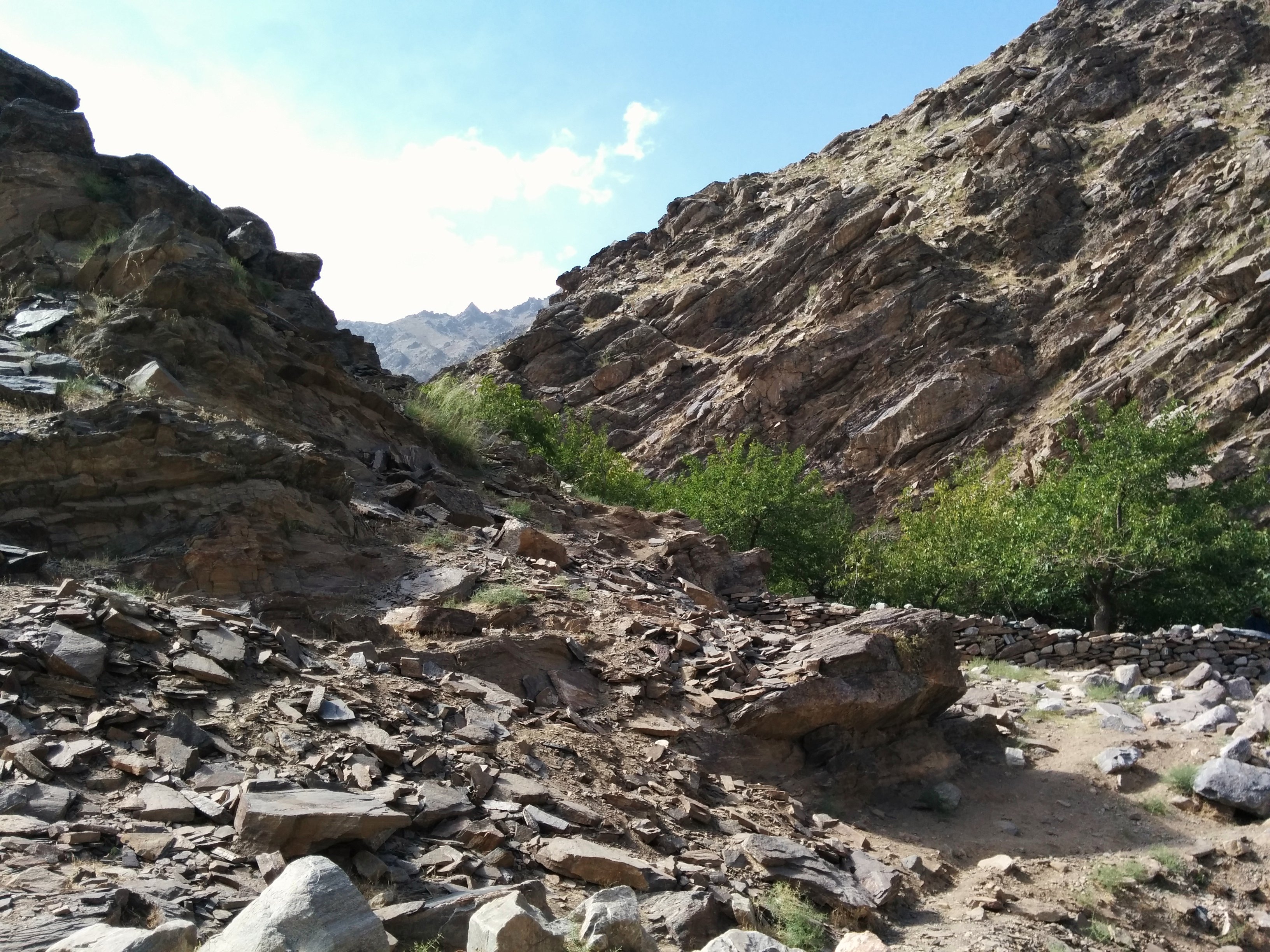
Kabul area picnic site
Topographic Map of Bagram, Afghanistan
Find elevation by address:

Places in Bagram, Afghanistan:
Places near Bagram, Afghanistan:
Bagram Airfield
Airport Road
Chaharikar
Saiad
Qarabagh
Charikar
Qara Bagh
Kapisa
Hamid Karzai International Airport
Kabul
1 Airport Rd
Kabul
Bagrami
Kabul
قصر دار الامان
Dar Ul Aman
Nijrab
Tagab
Zazi
Aryob Zazi
Recent Searches:
- Elevation of Corso Fratelli Cairoli, 35, Macerata MC, Italy
- Elevation of Tallevast Rd, Sarasota, FL, USA
- Elevation of 4th St E, Sonoma, CA, USA
- Elevation of Black Hollow Rd, Pennsdale, PA, USA
- Elevation of Oakland Ave, Williamsport, PA, USA
- Elevation of Pedrógão Grande, Portugal
- Elevation of Klee Dr, Martinsburg, WV, USA
- Elevation of Via Roma, Pieranica CR, Italy
- Elevation of Tavkvetili Mountain, Georgia
- Elevation of Hartfords Bluff Cir, Mt Pleasant, SC, USA