Elevation of Bago Yoma, Myanmar (Burma)
Location: Myanmar (burma) > Bago Region >
Longitude: 95.8333333
Latitude: 19
Elevation: 327m / 1073feet
Barometric Pressure: 97KPa
Elevation Map:
Satellite Map:
Related Photos:
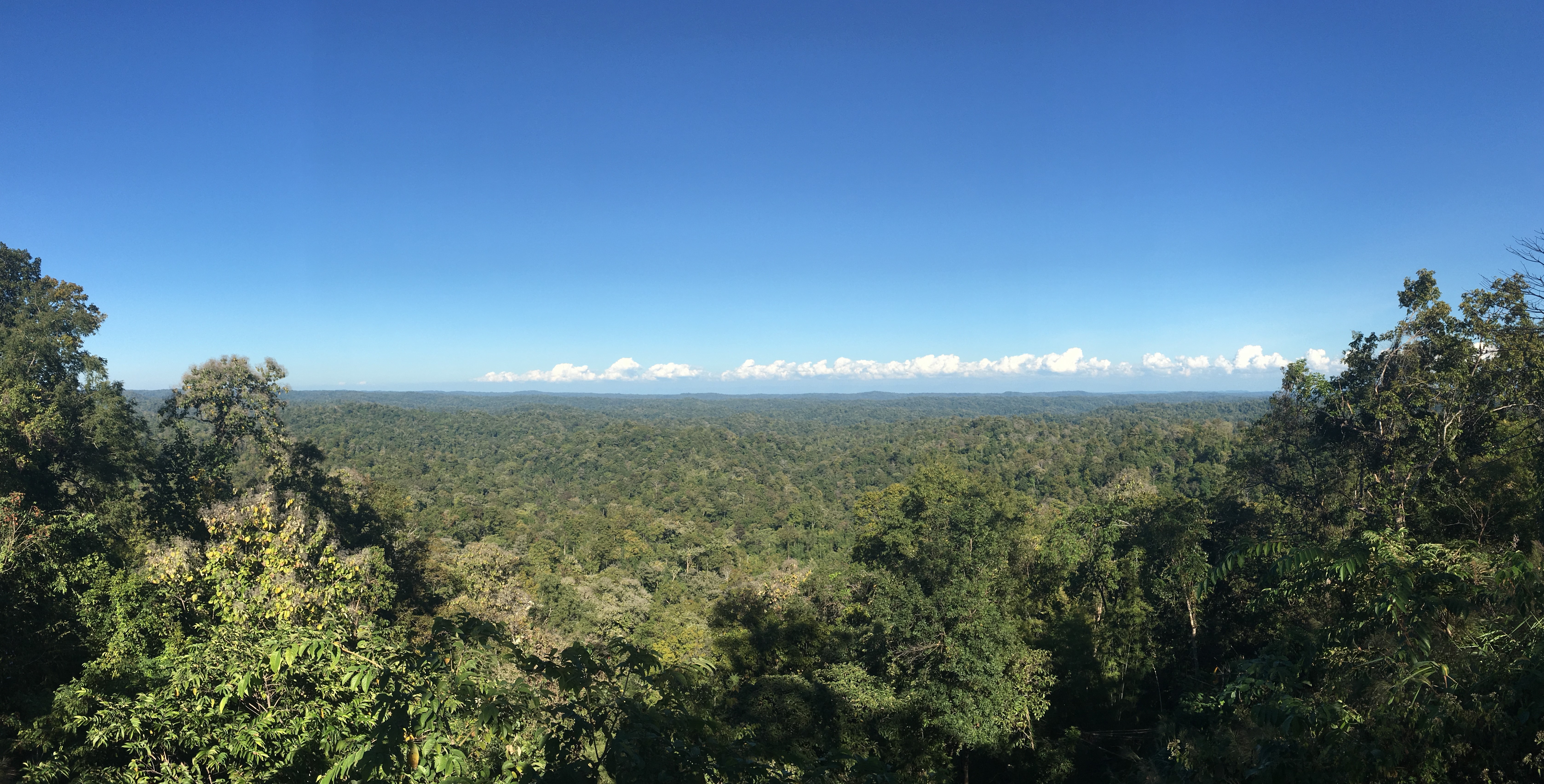
Myanmar, Bago Region, Taungoo District, Oktwin Township, Pauk Taw Village Tract
Topographic Map of Bago Yoma, Myanmar (Burma)
Find elevation by address:

Places near Bago Yoma, Myanmar (Burma):
Recent Searches:
- Elevation of Congressional Dr, Stevensville, MD, USA
- Elevation of Bellview Rd, McLean, VA, USA
- Elevation of Stage Island Rd, Chatham, MA, USA
- Elevation of Shibuya Scramble Crossing, 21 Udagawacho, Shibuya City, Tokyo -, Japan
- Elevation of Jadagoniai, Kaunas District Municipality, Lithuania
- Elevation of Pagonija rock, Kranto 7-oji g. 8"N, Kaunas, Lithuania
- Elevation of Co Rd 87, Jamestown, CO, USA
- Elevation of Tenjo, Cundinamarca, Colombia
- Elevation of Côte-des-Neiges, Montreal, QC H4A 3J6, Canada
- Elevation of Bobcat Dr, Helena, MT, USA