Elevation of Baghaichhari Upazila, Bangladesh
Location: Bangladesh > Chittagong Division > Rangamati Hill District >
Longitude: 92.2236667
Latitude: 23.4618422
Elevation: 244m / 801feet
Barometric Pressure: 98KPa
Elevation Map:
Satellite Map:
Related Photos:

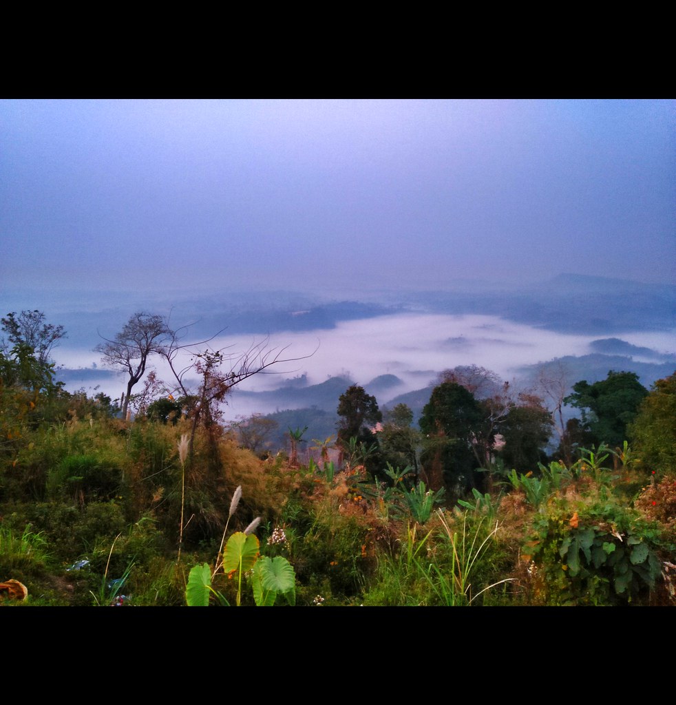
Panorama view of Sajek

IMG20180222161836-01
IMG20180223060620-01
Follow your dreams, Peak69 know the way.
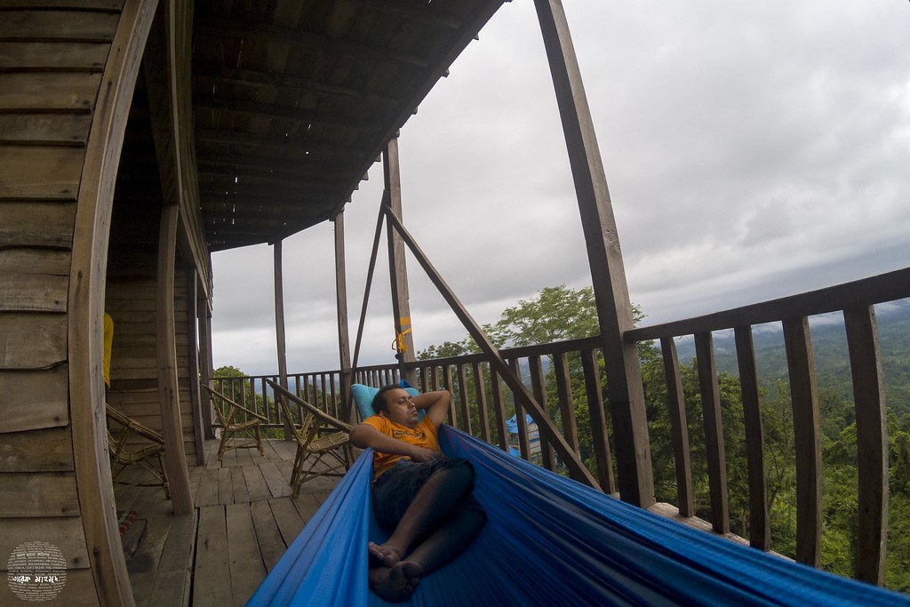
Happiness is watching the cloud from a hammock
Sajek Valley

Sajek Valley, beauty of Khagrachari.

কমলক পাড়া যাওয়ার পথে

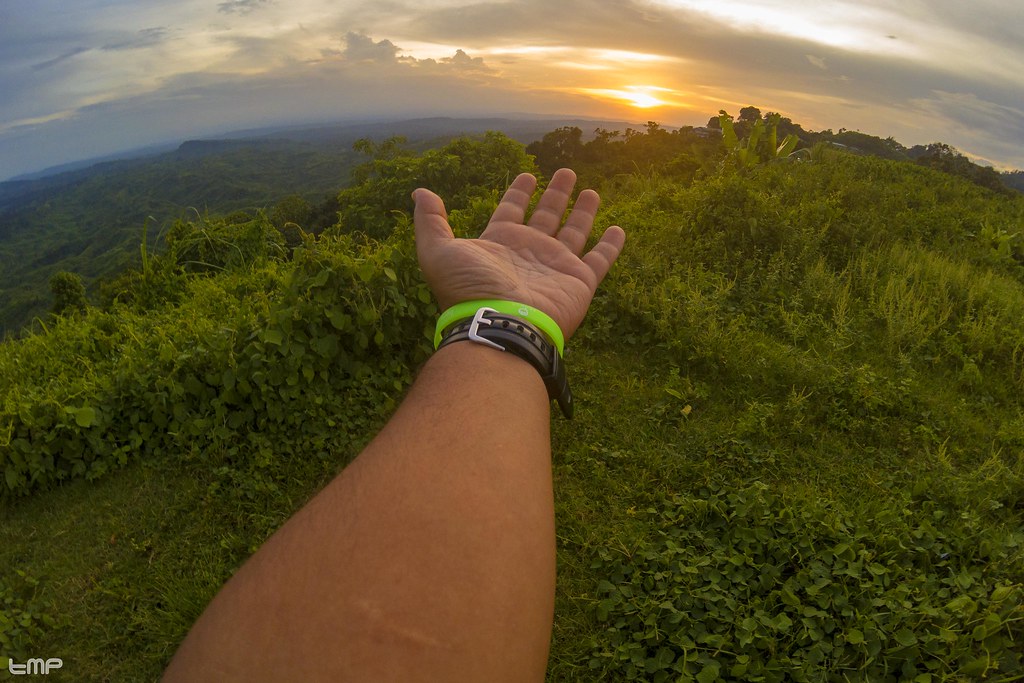
A journey to touch the fake clouds
Sajek Valley

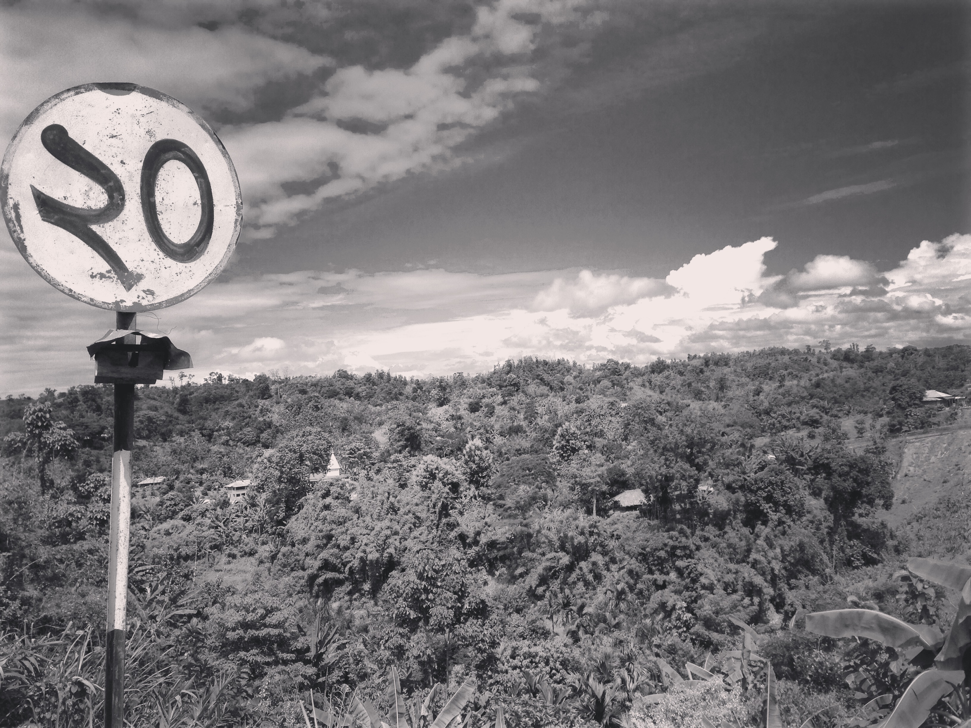
Roads in Sajek Valley

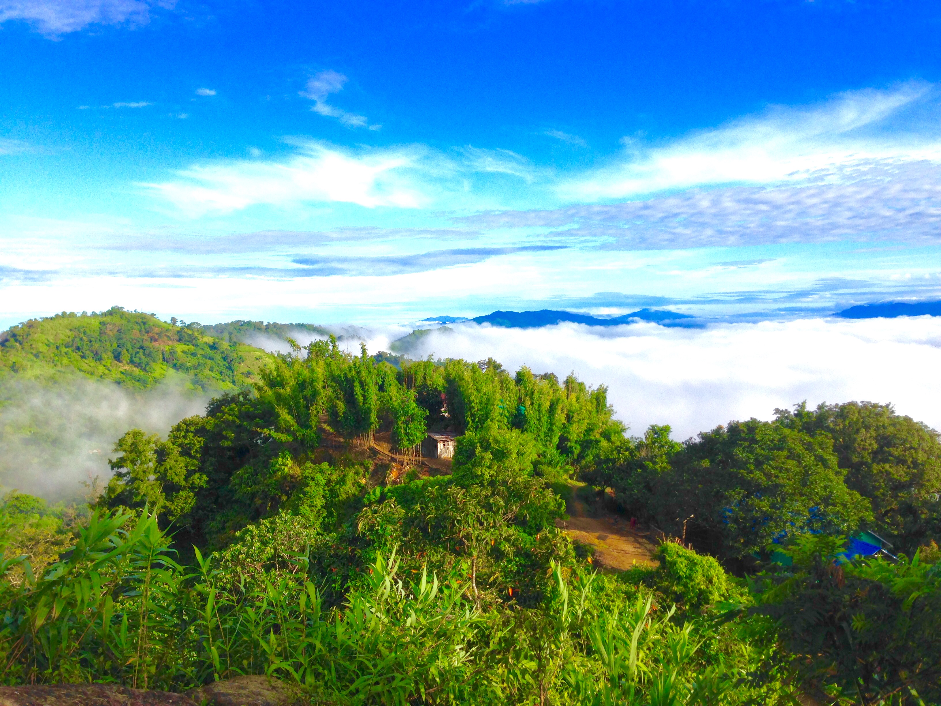
#cloud #landscape #beauty #Bangladesh
Topographic Map of Baghaichhari Upazila, Bangladesh
Find elevation by address:

Places near Baghaichhari Upazila, Bangladesh:
Sajek Valley
Khagrachhari
Khagrachari District
Langadu Upazila
Aizawl
Bhasanya Adam (block)
Kattoli Bazar
Naniarchar
Burighat
South Tripura
Chittagong Division
Rangamati Hill District
Nalua Bazar
Rajnagar
Janata Bank Limited
Rangamati
Rangamati Sadar Upazila
Sapchhari
Chandraghona
Chawngte
Recent Searches:
- Elevation of Horseshoe Ln, Dahlonega, GA, USA
- Elevation of Village Point Dr, Daphne, AL, USA
- Elevation map of Kabardino-Balkarian Republic, Russia
- Elevation of Tyrnyauz, Kabardino-Balkarian Republic, Russia
- Elevation of Sunset Dr, Hernando, MS, USA
- Elevation of Lake Rotoroa, Tasman, New Zealand
- Elevation of George St, New Bern, NC, USA
- Elevation of Cove Rd, Jasper, GA, USA
- Elevation of Cove Rd, Jasper, GA, USA
- Elevation of South Yankee Meadow Road, Forest Road, Paragonah, UT, USA