Elevation map of Bagamoyo, Tanzania
Location: Tanzania > Pwani Region >
Longitude: 38.4849923
Latitude: -6.24583
Elevation: 103m / 338feet
Barometric Pressure: 100KPa
Elevation Map:
Satellite Map:
Related Photos:
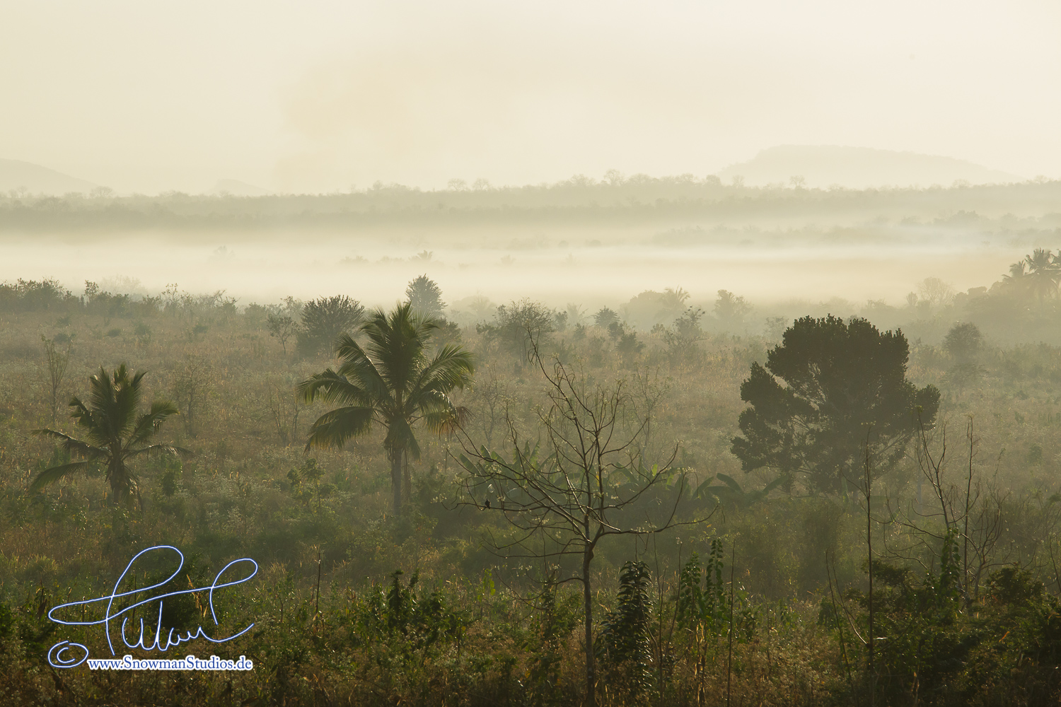
morning haze
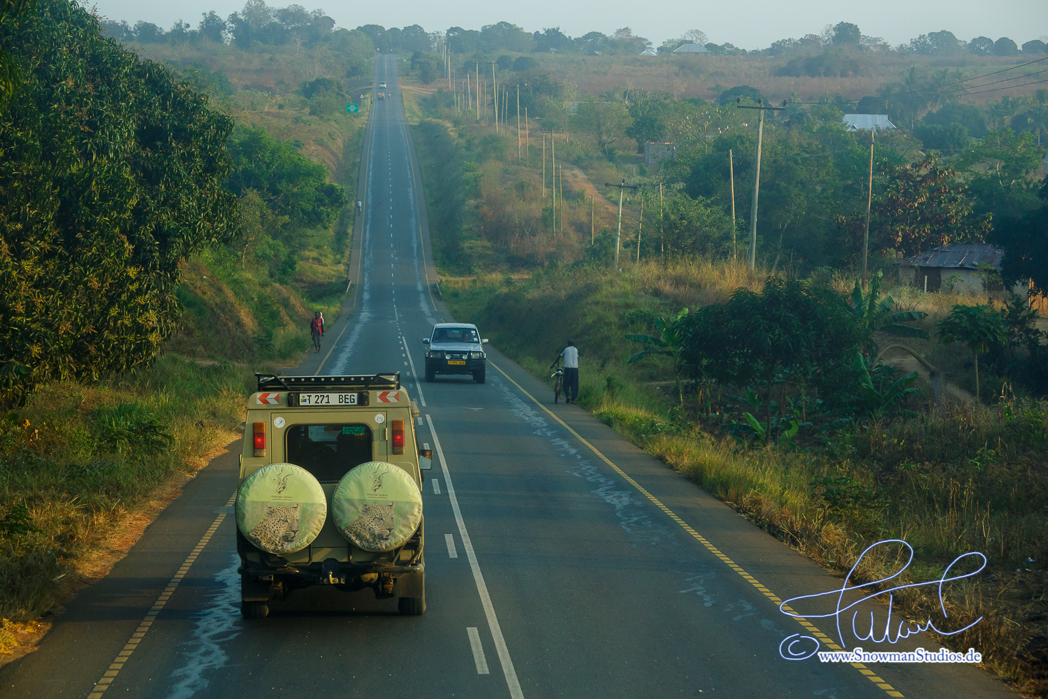
on the road again

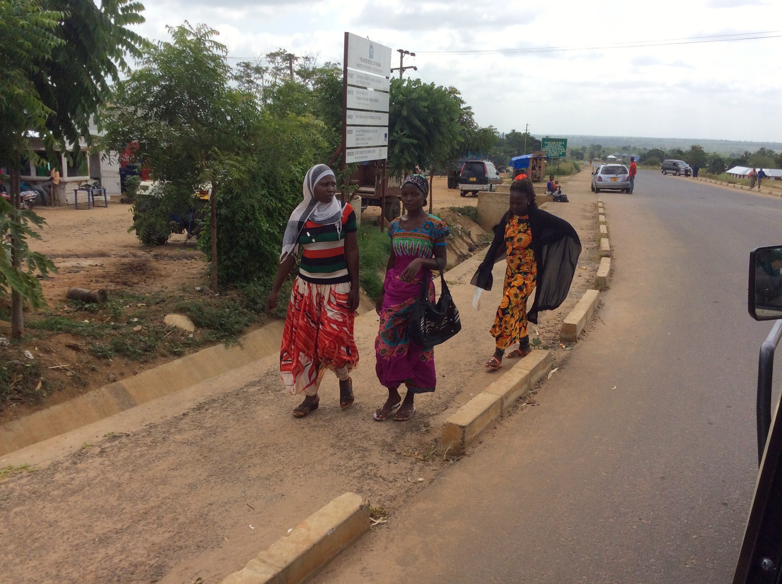
Tito & Anthony, Birding&Beyond/Tanzania Birding

Tito & Anthony, Birding&Beyond/Tanzania Birding
Soon we'll turn off the main hwy
Topographic Map of Bagamoyo, Tanzania
Find elevation by address:

Places in Bagamoyo, Tanzania:
Places near Bagamoyo, Tanzania:
Mvomero
Chalinze
Bagamoyo
Bagamoyo Real Estate Agency
Mnindi Primary School -vigwaza
Kibaha
Ruvu River
Stone Town
Darajani
Dala-dala Terminus
Bunju B Bus Stop
Zanzibar Town
Zanzibar City
Mzenga
Kibaha
Urban
Zanzibar Urban/west Region
Art In Tanzania
Madale Market
Mpakani Secondary School
Recent Searches:
- Elevation of W Granada St, Tampa, FL, USA
- Elevation of Pykes Down, Ivybridge PL21 0BY, UK
- Elevation of Jalan Senandin, Lutong, Miri, Sarawak, Malaysia
- Elevation of Bilohirs'k
- Elevation of 30 Oak Lawn Dr, Barkhamsted, CT, USA
- Elevation of Luther Road, Luther Rd, Auburn, CA, USA
- Elevation of Unnamed Road, Respublika Severnaya Osetiya — Alaniya, Russia
- Elevation of Verkhny Fiagdon, North Ossetia–Alania Republic, Russia
- Elevation of F. Viola Hiway, San Rafael, Bulacan, Philippines
- Elevation of Herbage Dr, Gulfport, MS, USA