Elevation of Badiauri, Georgia
Location: Georgia >
Longitude: 45.5503012
Latitude: 41.6491802
Elevation: 551m / 1808feet
Barometric Pressure: 95KPa
Elevation Map:
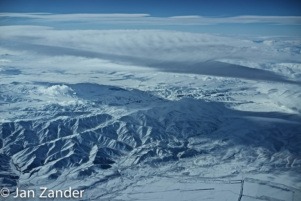
Satellite Map:
Related Photos:
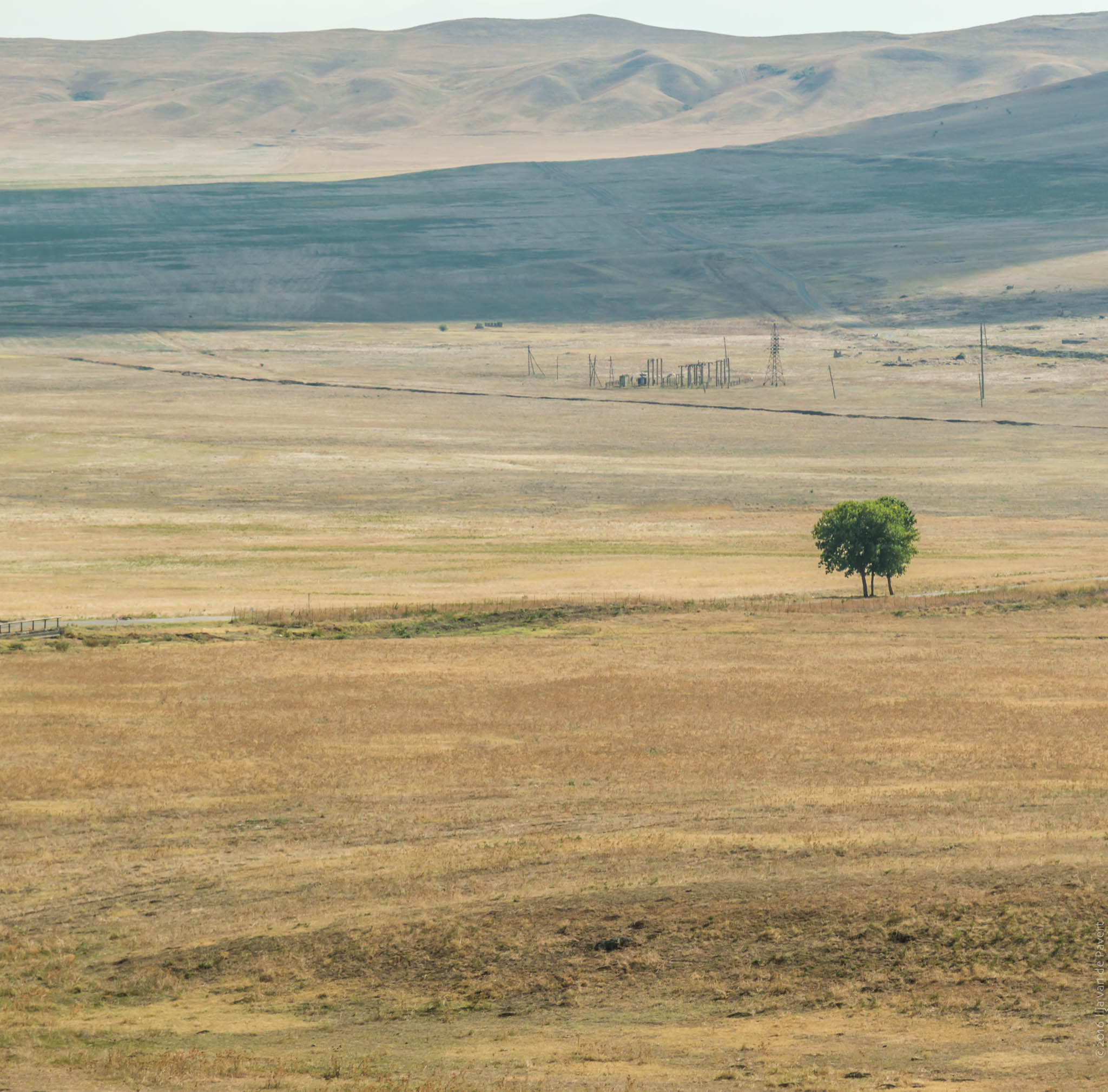
20160908-_D8H0400
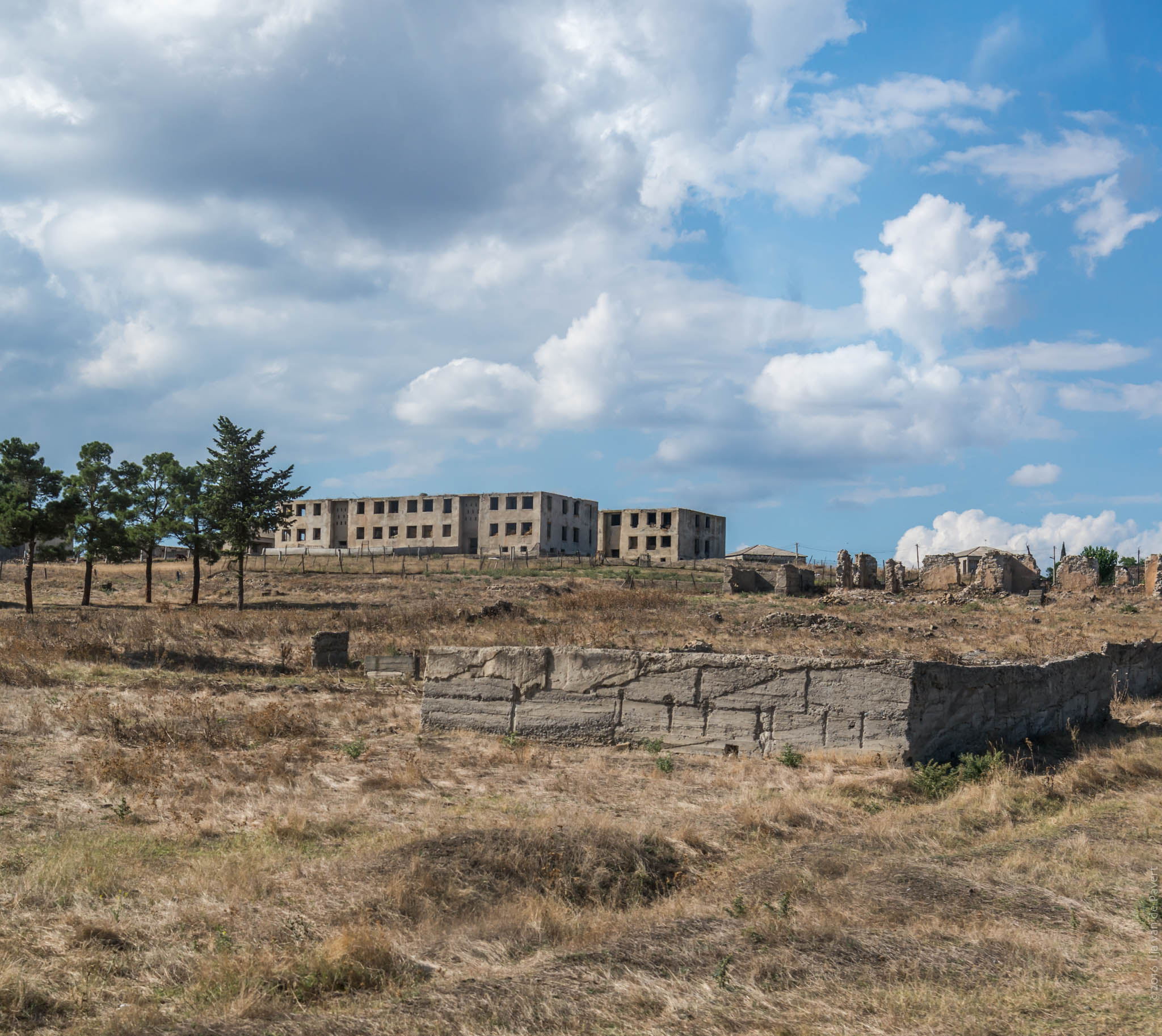
20160908-_D8H0401
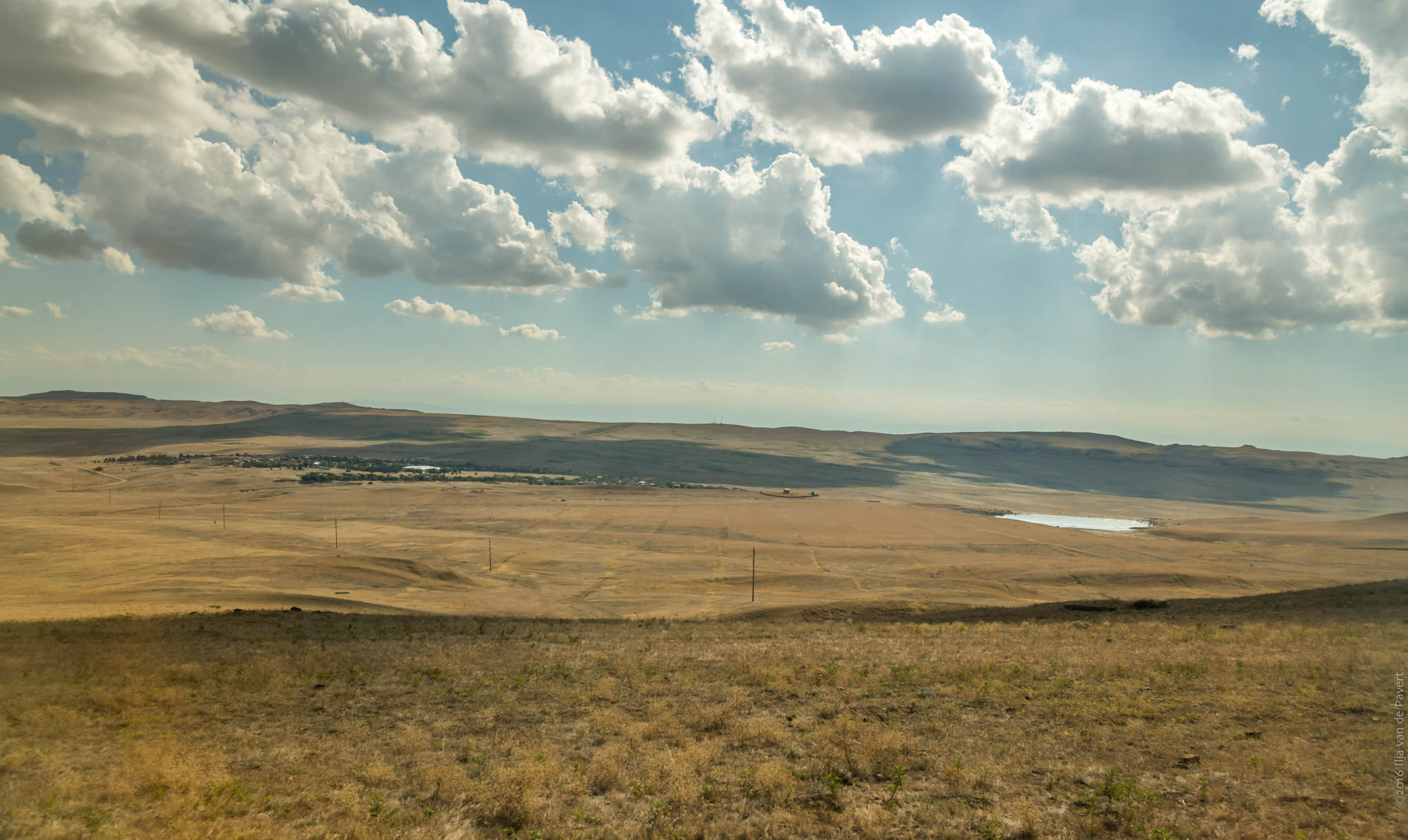
20160908-_D8H0398
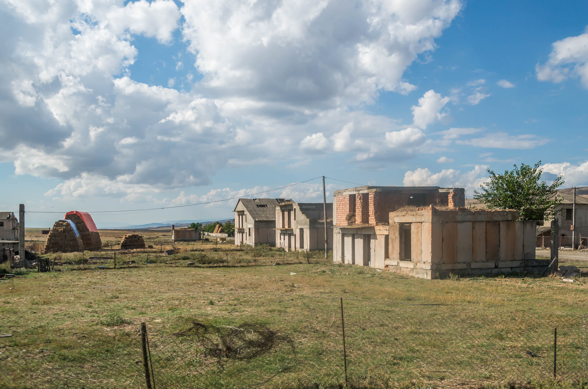
20160908-_D8H0404

sun goes down..

Bakuriani Valley
Caucasus.jpg
Topographic Map of Badiauri, Georgia
Find elevation by address:

Places near Badiauri, Georgia:
Kakheti
Udabno
Sagarejo
Tsinandali
Chalaubani
Davit Gareji Monastery
Telavi
Kakheti
Sighnaghi
Sartichala
Nekresi
Napareuli
Kvareli
Lopota Lake
Lopota Lake Resort & Spa
Alaverdi Monastery
Kvemo Alvani
Alvani Inn
Sasadilo
Gardabani
Recent Searches:
- Elevation of Congressional Dr, Stevensville, MD, USA
- Elevation of Bellview Rd, McLean, VA, USA
- Elevation of Stage Island Rd, Chatham, MA, USA
- Elevation of Shibuya Scramble Crossing, 21 Udagawacho, Shibuya City, Tokyo -, Japan
- Elevation of Jadagoniai, Kaunas District Municipality, Lithuania
- Elevation of Pagonija rock, Kranto 7-oji g. 8"N, Kaunas, Lithuania
- Elevation of Co Rd 87, Jamestown, CO, USA
- Elevation of Tenjo, Cundinamarca, Colombia
- Elevation of Côte-des-Neiges, Montreal, QC H4A 3J6, Canada
- Elevation of Bobcat Dr, Helena, MT, USA