Elevation of Badger, IA, USA
Location: United States > Iowa > Webster County >
Longitude: -94.171854
Latitude: 42.6123027
Elevation: 340m / 1115feet
Barometric Pressure: 97KPa
Elevation Map:
Satellite Map:
Related Photos:
Miracle Jack and Jill

Wells Fargo Bank
Connecting tower (bw)
Day 147: Memorialized
Wahkonsa Hotel (rear view) - Fort Dodge, IA
Wells Fargo Bank

My private ride to MSP.
Day 1443: River Ups & Downs
Iowa sunset over a cornfield #iowa #sunset #cornfield
RAGBRAI 2015
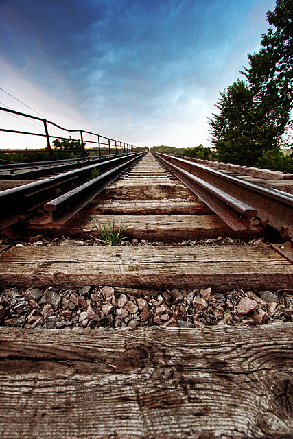
Day 210: Bridging the Tracks

Day 203: In the Half Shell

Day 1425: My Water's All Gone
Day 1246: Memorial Bones
Humboldt, Iowa

Humboldt, Iowa

Farm to Food

RAGBRAI 2015
Topographic Map of Badger, IA, USA
Find elevation by address:

Places in Badger, IA, USA:
Places near Badger, IA, USA:
Badger
1st Ave SE, Badger, IA, USA
Dodger Stadium
Dodger Stadium
437 Loomis Ave
519 S 8th St
Dakota City
1st Ave N, Dakota City, IA, USA
Fort Dodge
Humboldt
Sumner Ave, Humboldt, IA, USA
2141 Penn Ave
Humboldt County
Ada St, Thor, IA, USA
Thor
2374 Mill Rd
2374 Mill Rd
Norway
Arthur St, Vincent, IA, USA
Riverside Trail, Fort Dodge, IA, USA
Recent Searches:
- Elevation of East W.T. Harris Boulevard, E W.T. Harris Blvd, Charlotte, NC, USA
- Elevation of West Sugar Creek, Charlotte, NC, USA
- Elevation of Wayland, NY, USA
- Elevation of Steadfast Ct, Daphne, AL, USA
- Elevation of Lagasgasan, X+CQH, Tiaong, Quezon, Philippines
- Elevation of Rojo Ct, Atascadero, CA, USA
- Elevation of Flagstaff Drive, Flagstaff Dr, North Carolina, USA
- Elevation of Avery Ln, Lakeland, FL, USA
- Elevation of Woolwine, VA, USA
- Elevation of Lumagwas Diversified Farmers Multi-Purpose Cooperative, Lumagwas, Adtuyon, RV32+MH7, Pangantucan, Bukidnon, Philippines