Elevation of Bacchi Rd, Lotus, CA, USA
Location: United States > California > El Dorado County > Coloma > Lotus >
Longitude: -120.91752
Latitude: 38.8162685
Elevation: 245m / 804feet
Barometric Pressure: 98KPa
Elevation Map:
Satellite Map:
Related Photos:
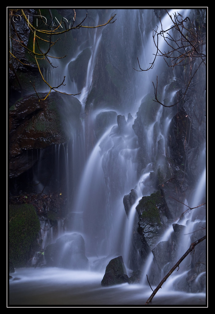
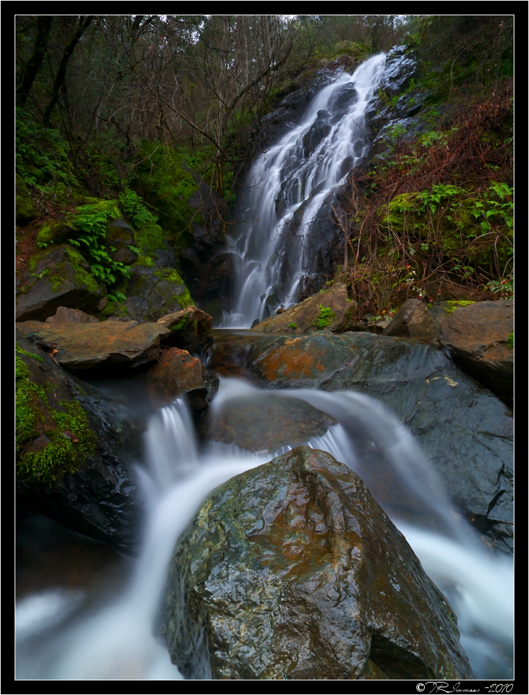
Grotto of the Falls

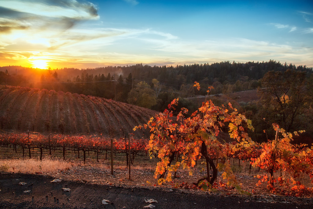
Boeger Winery sunset view
Green. Blue. Good book. Good view. Perfect weather. #california #sunshine #view #peace #quiet
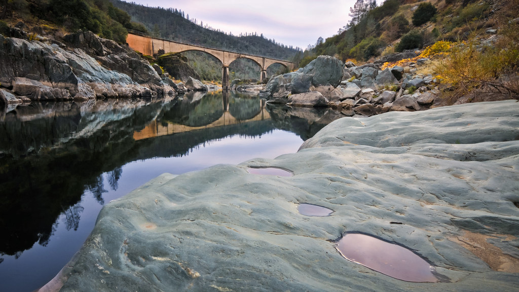
Old Salmon Falls Bridge... Now a Bridge Again
Summer Insanity 2737
The view from Agard
Two Famous Bridges 0935
Day 945: ElDorado_9950d

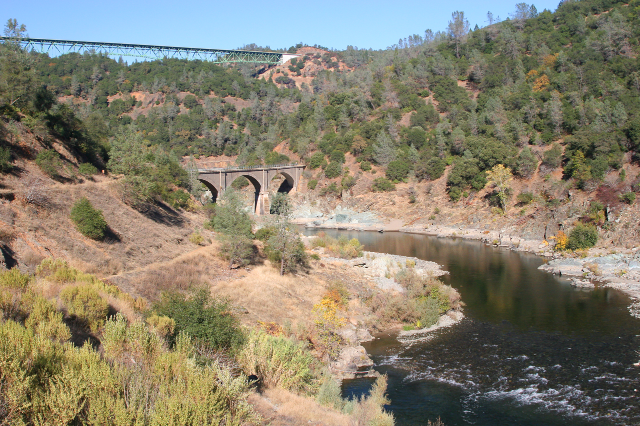
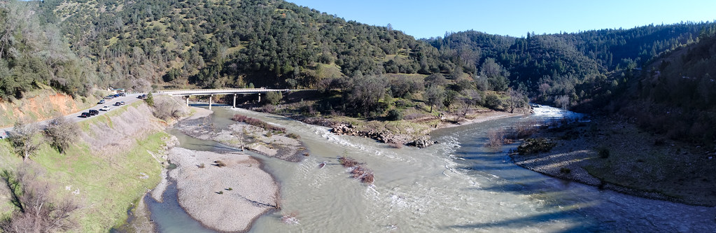
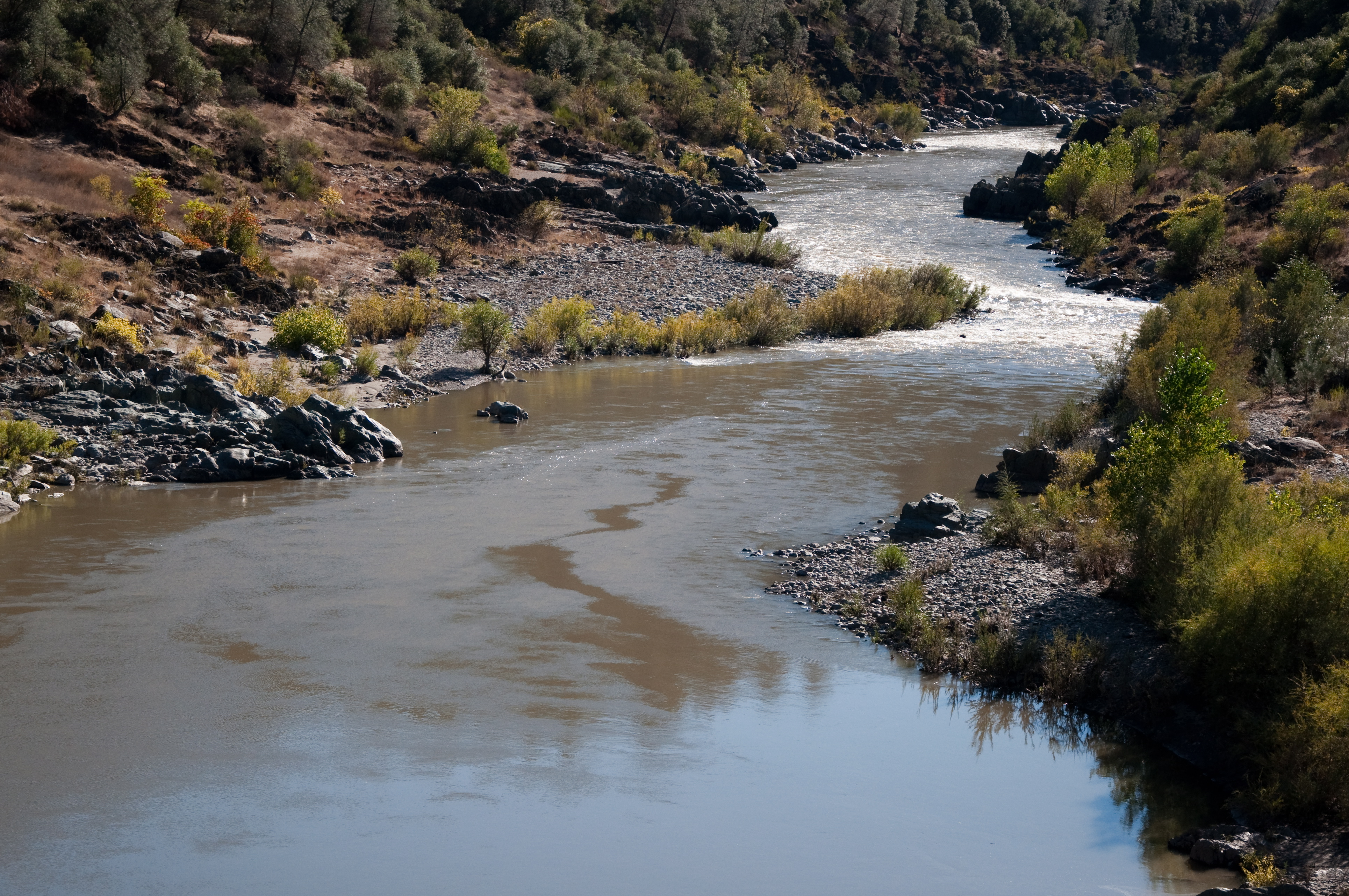
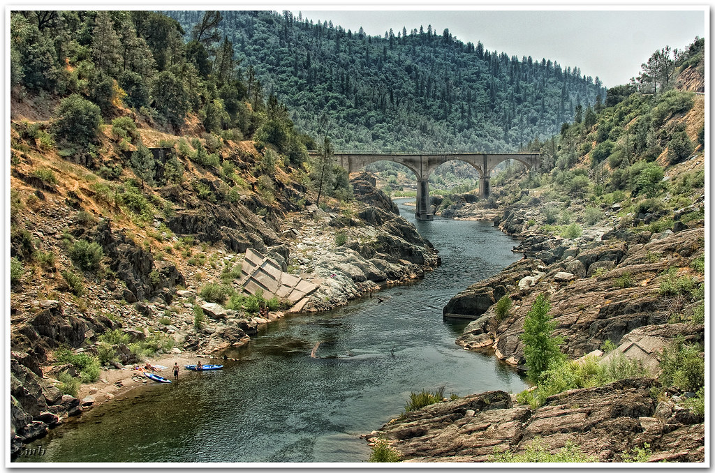
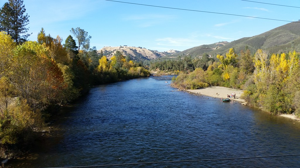
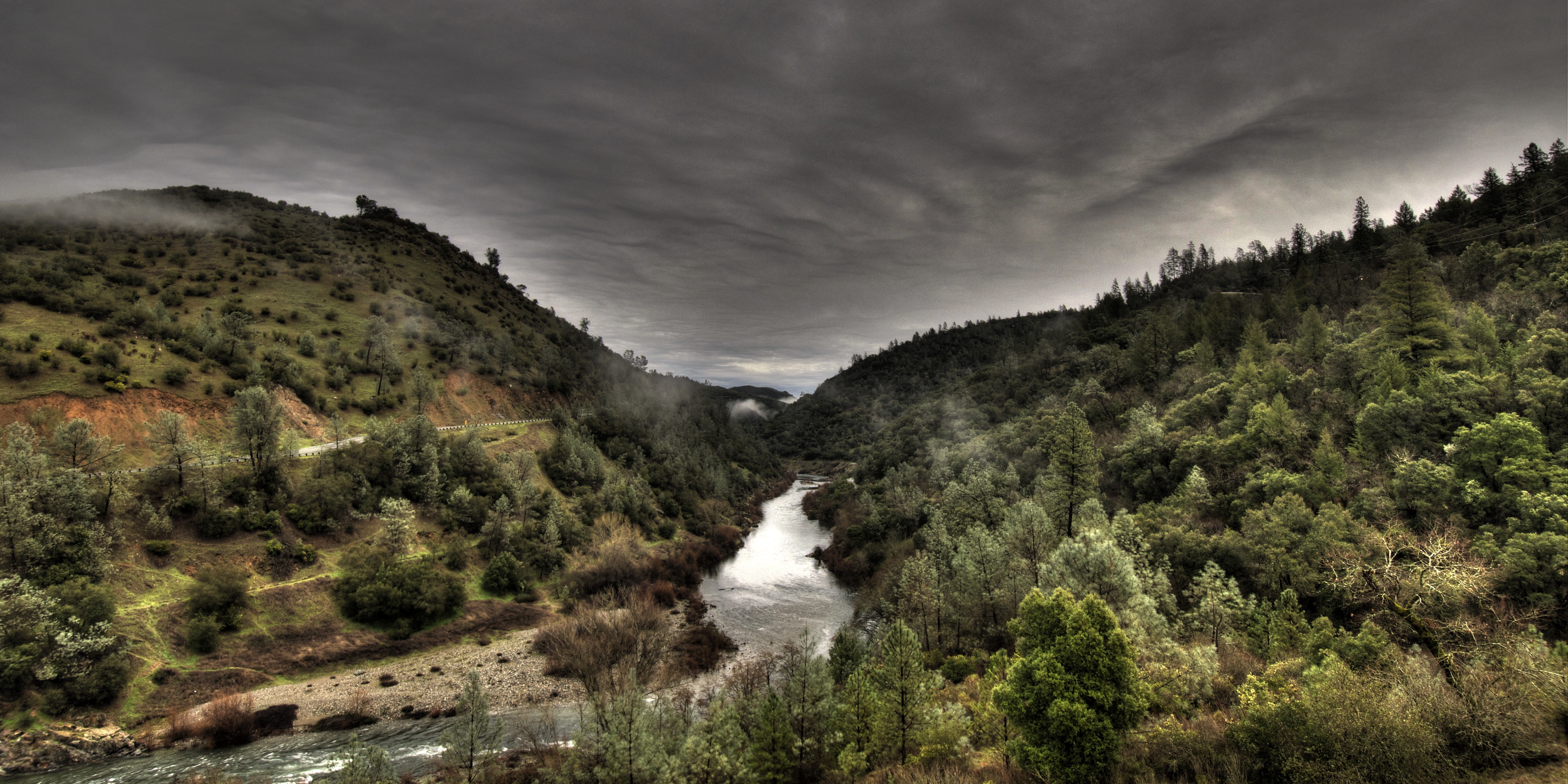
American River
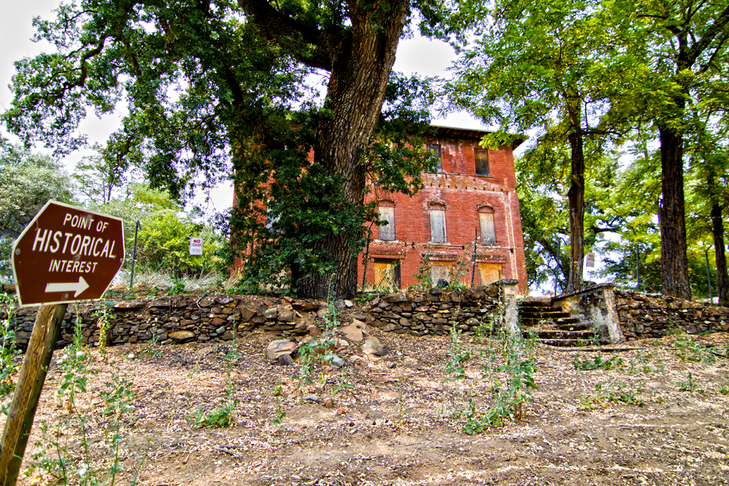
The Old Bayley House 2674
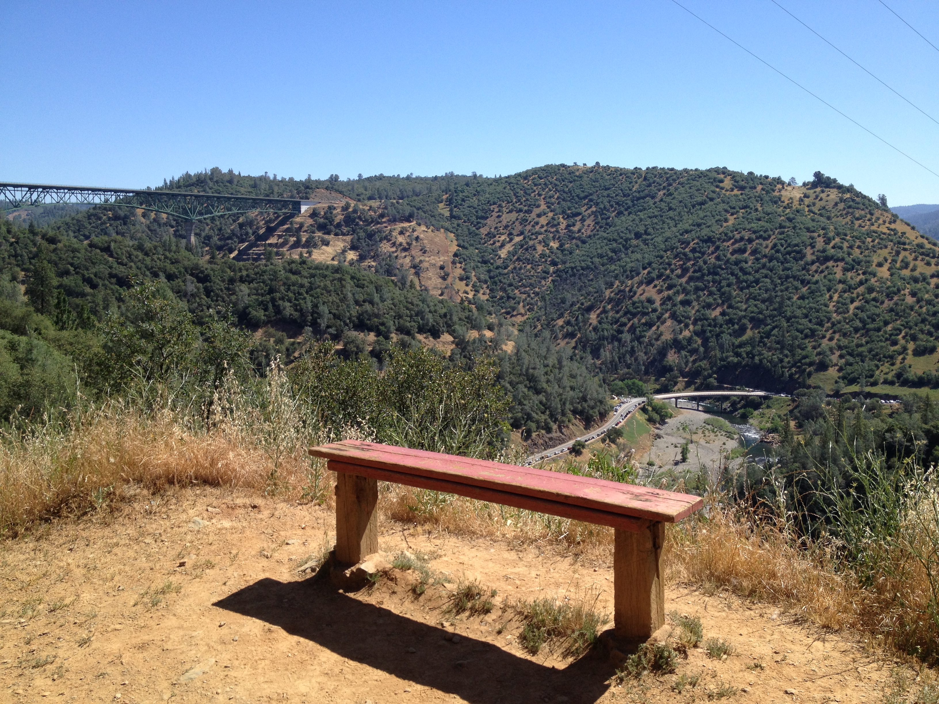
Bench with a View, Stagecoach Trail 2014
Auburn Overlook

Exterior Rear
RV Camping..
American River - Forest Hill, CA
View from the bridge
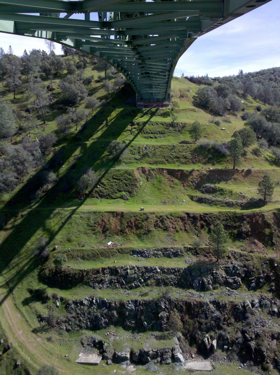
View towards east abutment

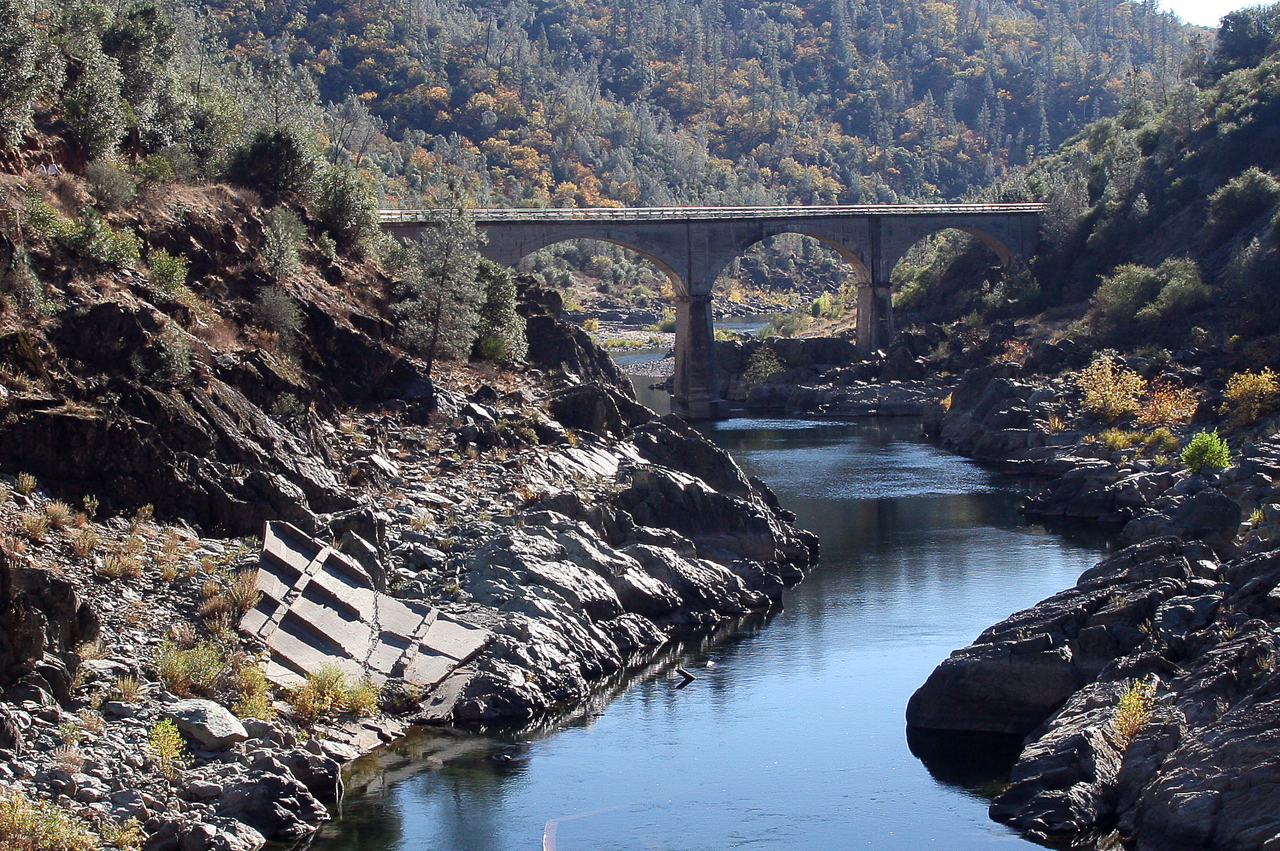
View from beneath - Mountain Quarries Bridge
No Hands Bridge 0940
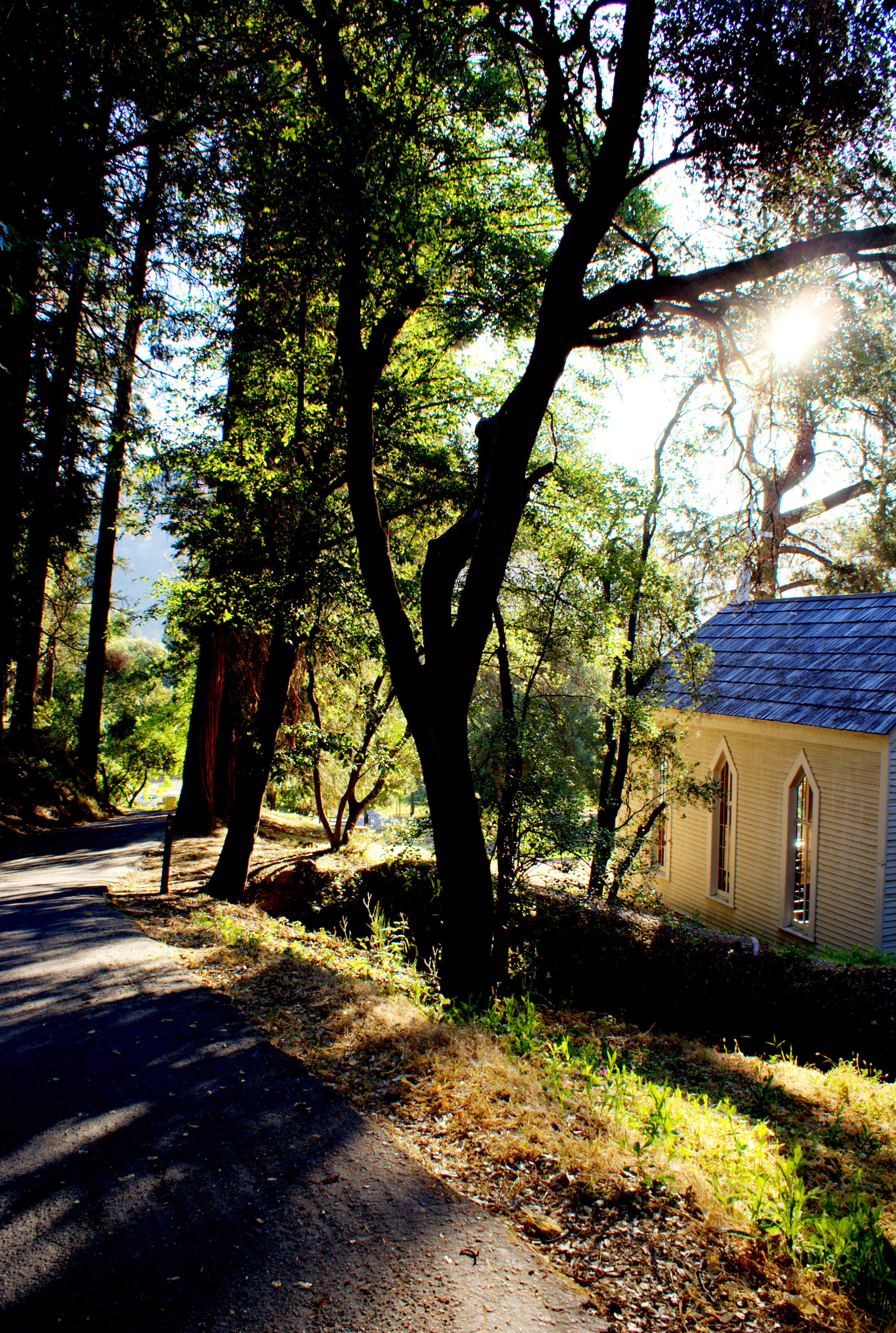
Morning Services
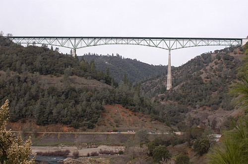
Foresthill Bridge view, Auburn State Recreation Area
Sometimes you get off the bike and take a hike around the lake... #lakeview #california #perfectday #hiking #trails #homestate #hearthealth #cardio #hikecalifornia #sunshine #peace #quiet #reflection
finding gold in the valley of Coloma

Donner Pass, CA
Spring in California

Hell in our backyard
No Hands Bridge

Foresthill Bridge
2010 - March
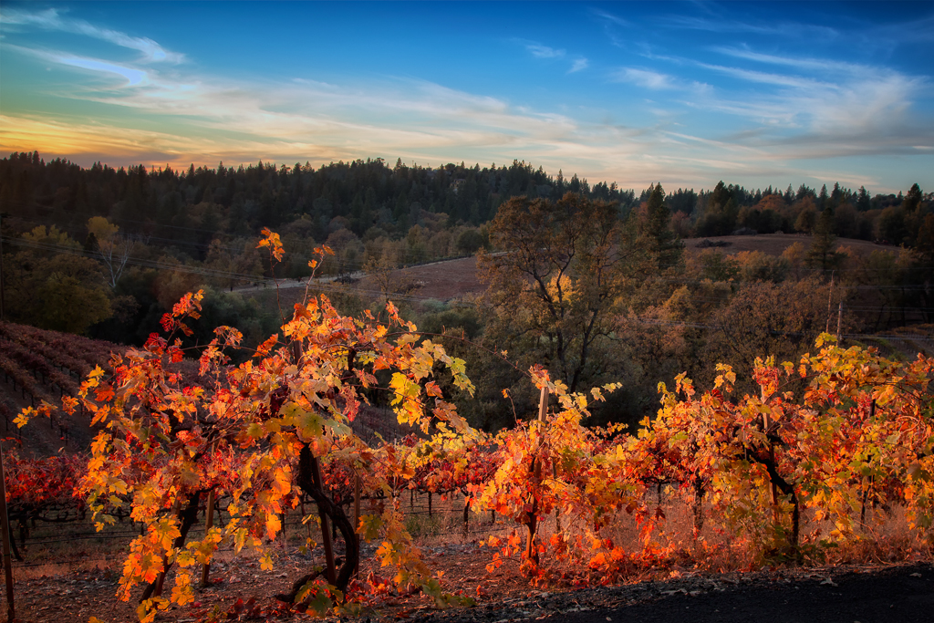
Boeger Winery in the Fall
Black Hole of Calcutta

Boeger Winery pond
American River
Forty Acres and a Mule
Fall vineyard sunset
No Hands Bridge - Auburn, CA

#lichen
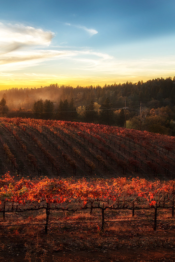
Sunset Vineyard

Morning on the river.

No Hands Bridge
Middle Fork tonemapped

Foresthill Bridge Over the North Fork of the American River
Topographic Map of Bacchi Rd, Lotus, CA, USA
Find elevation by address:

Places near Bacchi Rd, Lotus, CA, USA:
6940 Bacchi Rd
6940 Bacchi Rd
6940 Bacchi Rd
6940 Bacchi Rd
7291 Ca-49
Lotus Rd, Lotus, CA, USA
Lotus
5700 Heaven's Gate
5270 Granite Creek Rd
Sutter's Mill Replica
Northern California
Coloma
1440 Mckee Dr
American River Resort
4581 Luneman Rd
Bayne Road
1611 Lotus Rd
1991 Quartz Creek Ln
Veerkamp Way
Olympus Drive
Recent Searches:
- Elevation of Lampiasi St, Sarasota, FL, USA
- Elevation of Elwyn Dr, Roanoke Rapids, NC, USA
- Elevation of Congressional Dr, Stevensville, MD, USA
- Elevation of Bellview Rd, McLean, VA, USA
- Elevation of Stage Island Rd, Chatham, MA, USA
- Elevation of Shibuya Scramble Crossing, 21 Udagawacho, Shibuya City, Tokyo -, Japan
- Elevation of Jadagoniai, Kaunas District Municipality, Lithuania
- Elevation of Pagonija rock, Kranto 7-oji g. 8"N, Kaunas, Lithuania
- Elevation of Co Rd 87, Jamestown, CO, USA
- Elevation of Tenjo, Cundinamarca, Colombia