Elevation of Başpınar Osb/Şehitkamil/Gaziantep, Turkey
Location: Turkey > Gaziantep > Şehitkamil >
Longitude: 37.2918561
Latitude: 37.1606558
Elevation: 929m / 3048feet
Barometric Pressure: 91KPa
Elevation Map:
Satellite Map:
Related Photos:

Gaziantep-Turkey

Gaziantep-Turkey
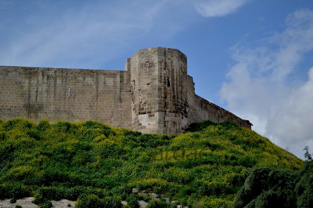
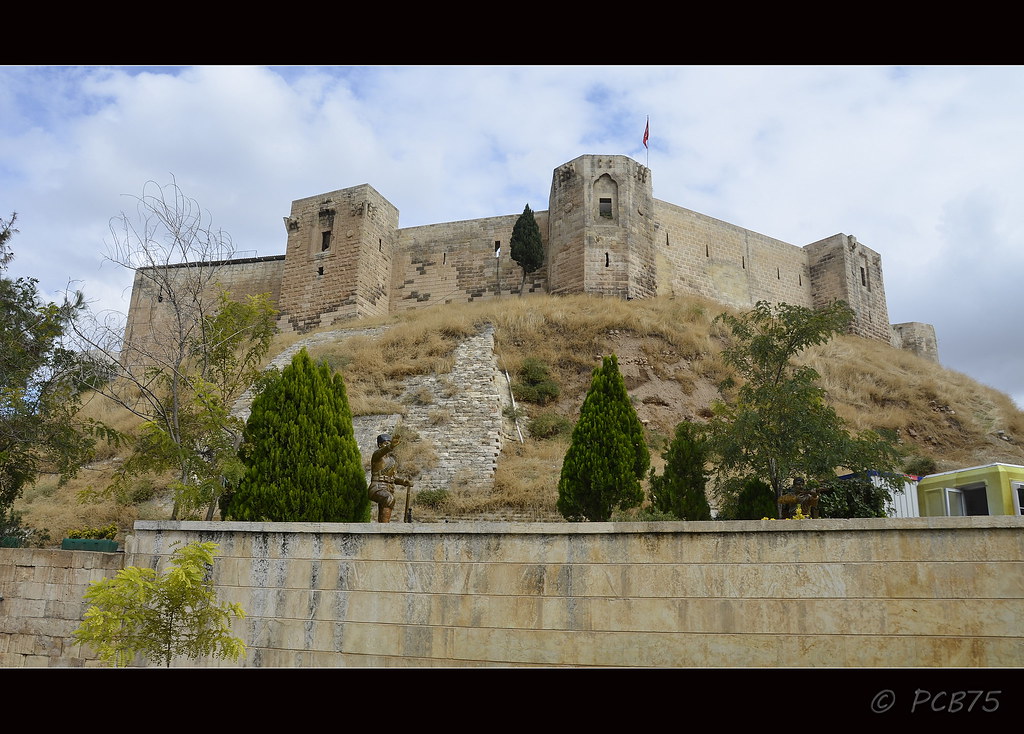
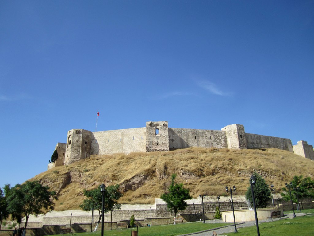
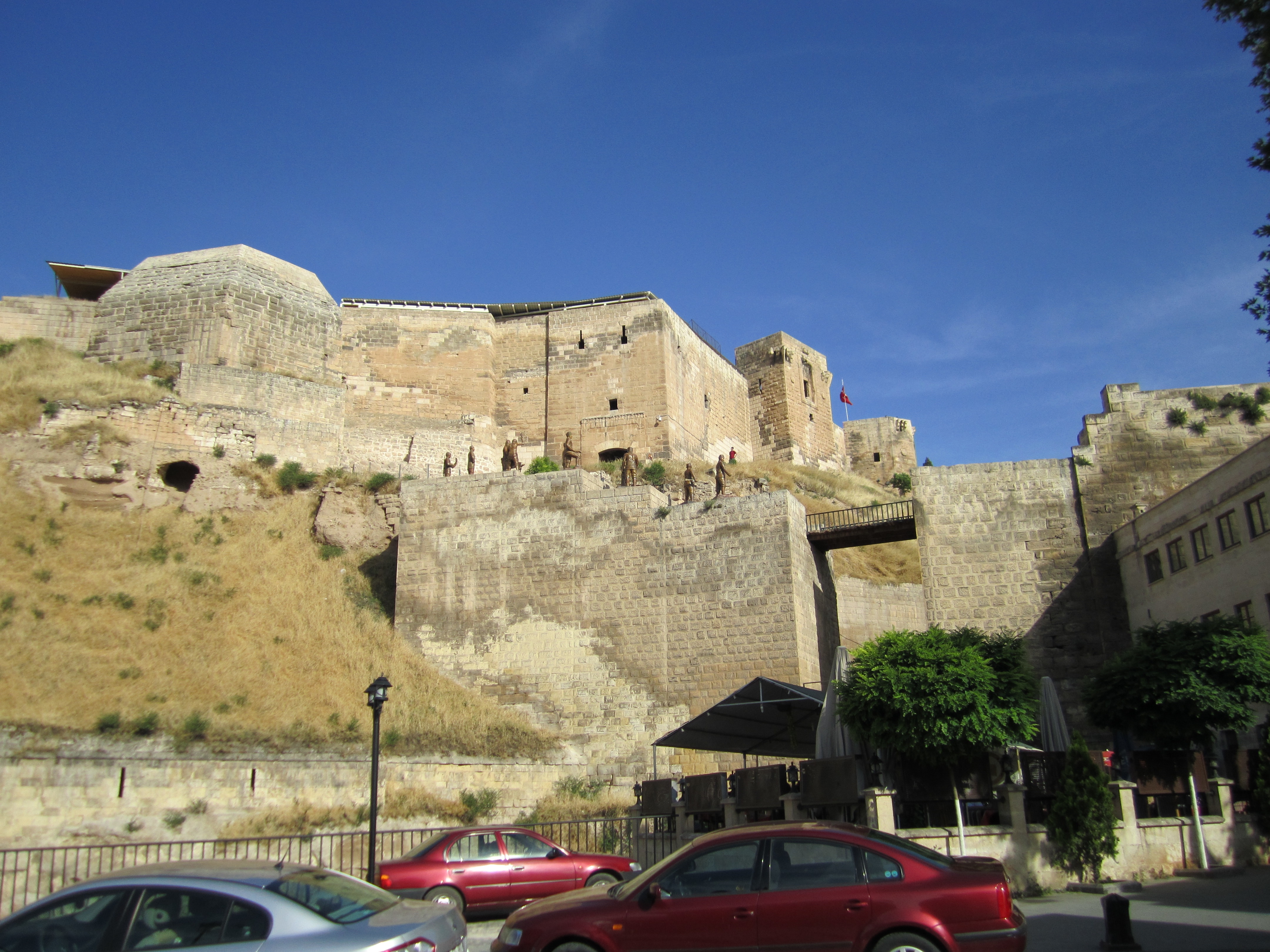
Gaziantep Kalesi | Castle Of Gaziantep
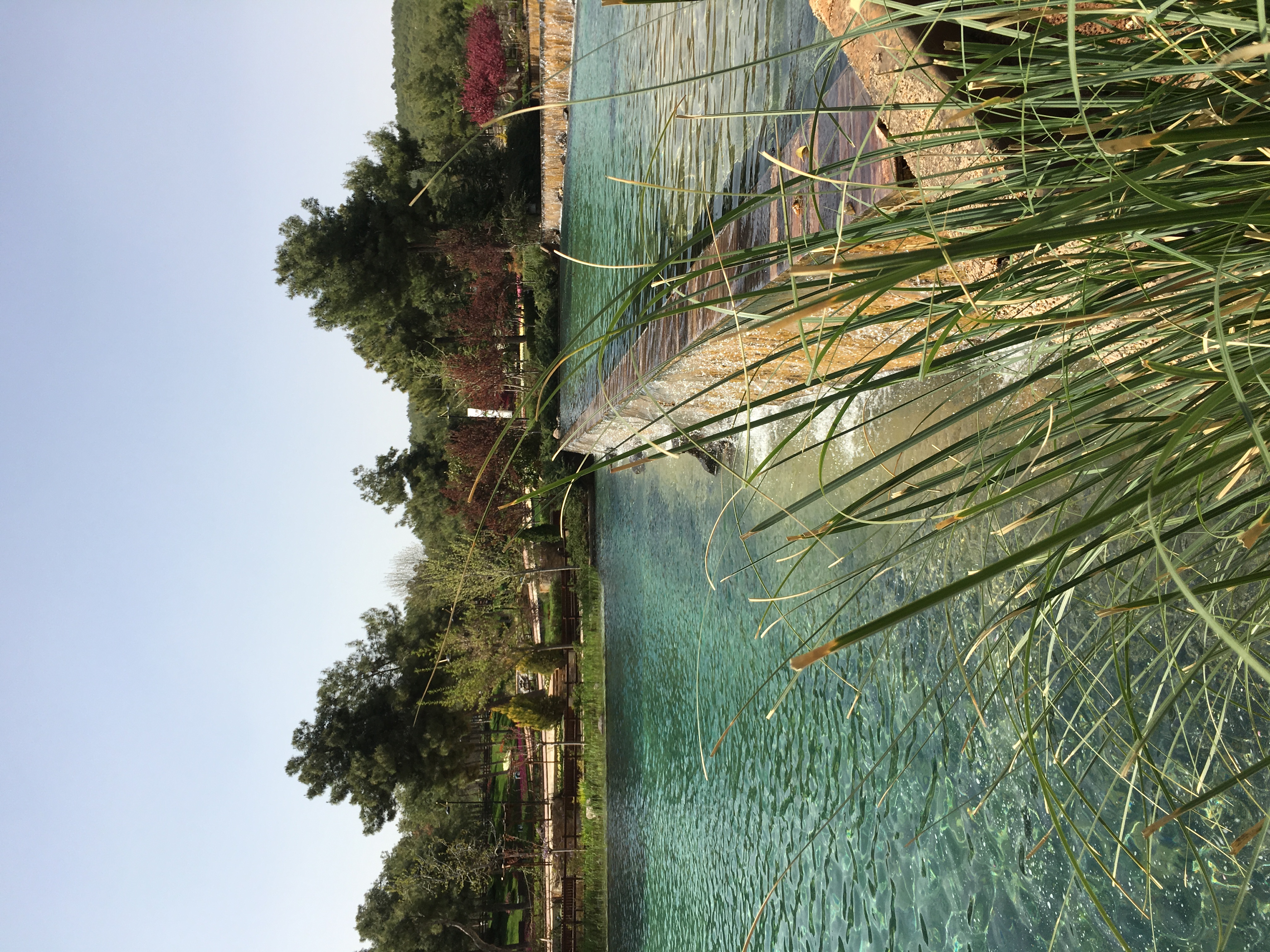
Kavaklık Parkı
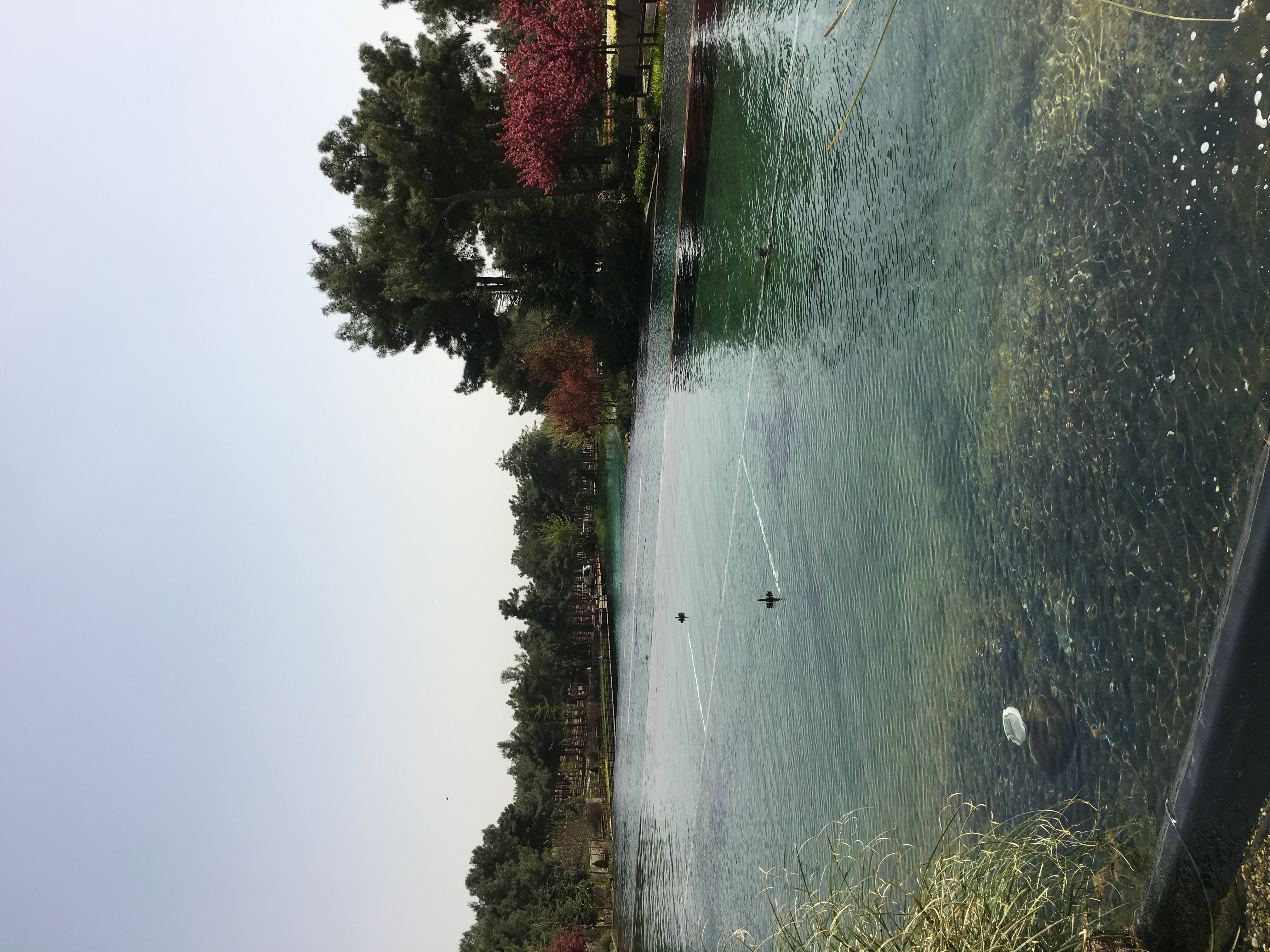
Kavaklık Parkı
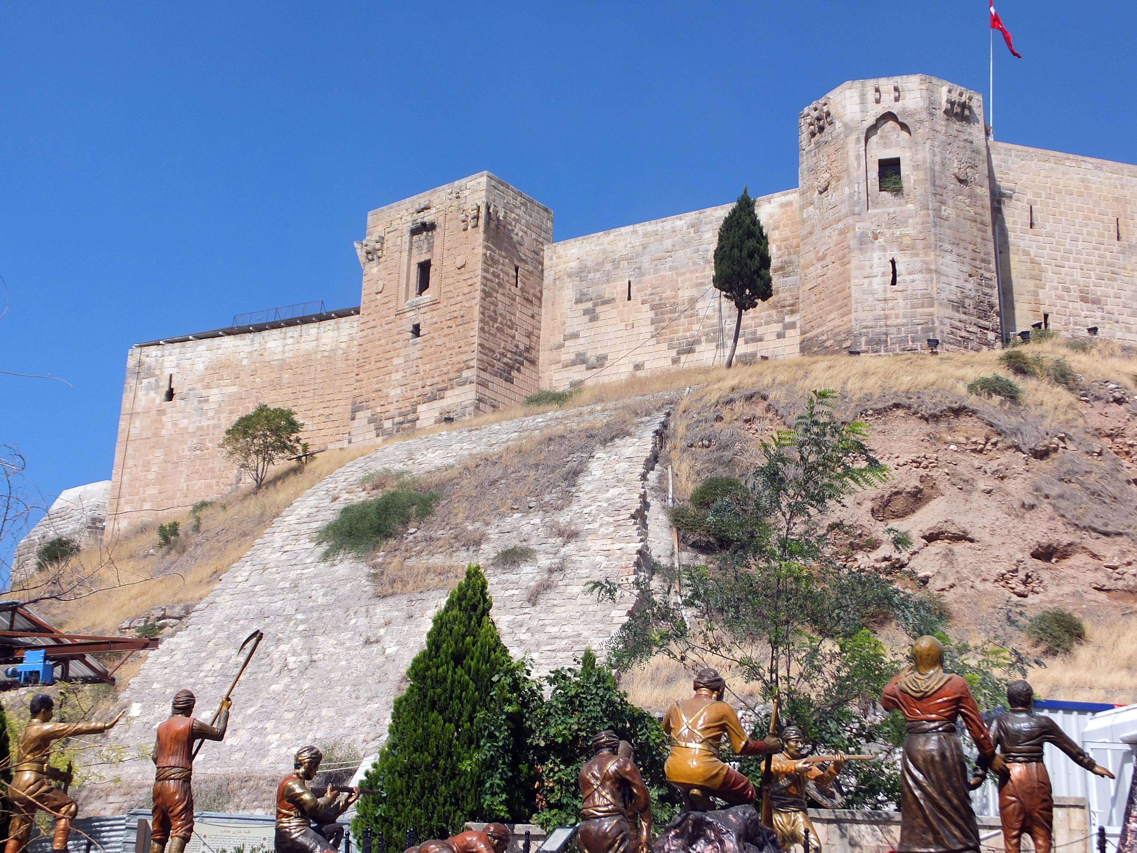
Gaziantep Citadel
Castell d'Antep

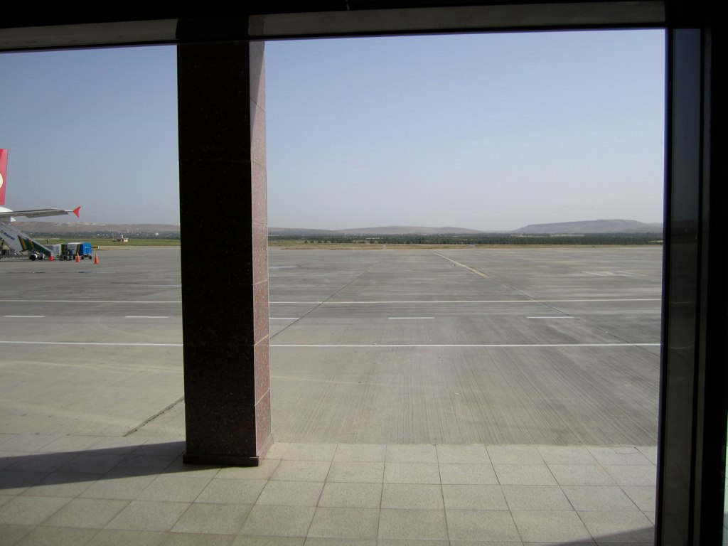
#bag #soldier #airport #travel #gaziantep #travelling #filming
2010-05-29 07-59-41 - IMG_0368

Cretzschmar's Bunting (Emberiza caesia) Grauortolan
From today's walk
2010-05-29 16-03-21 - IMG_0407

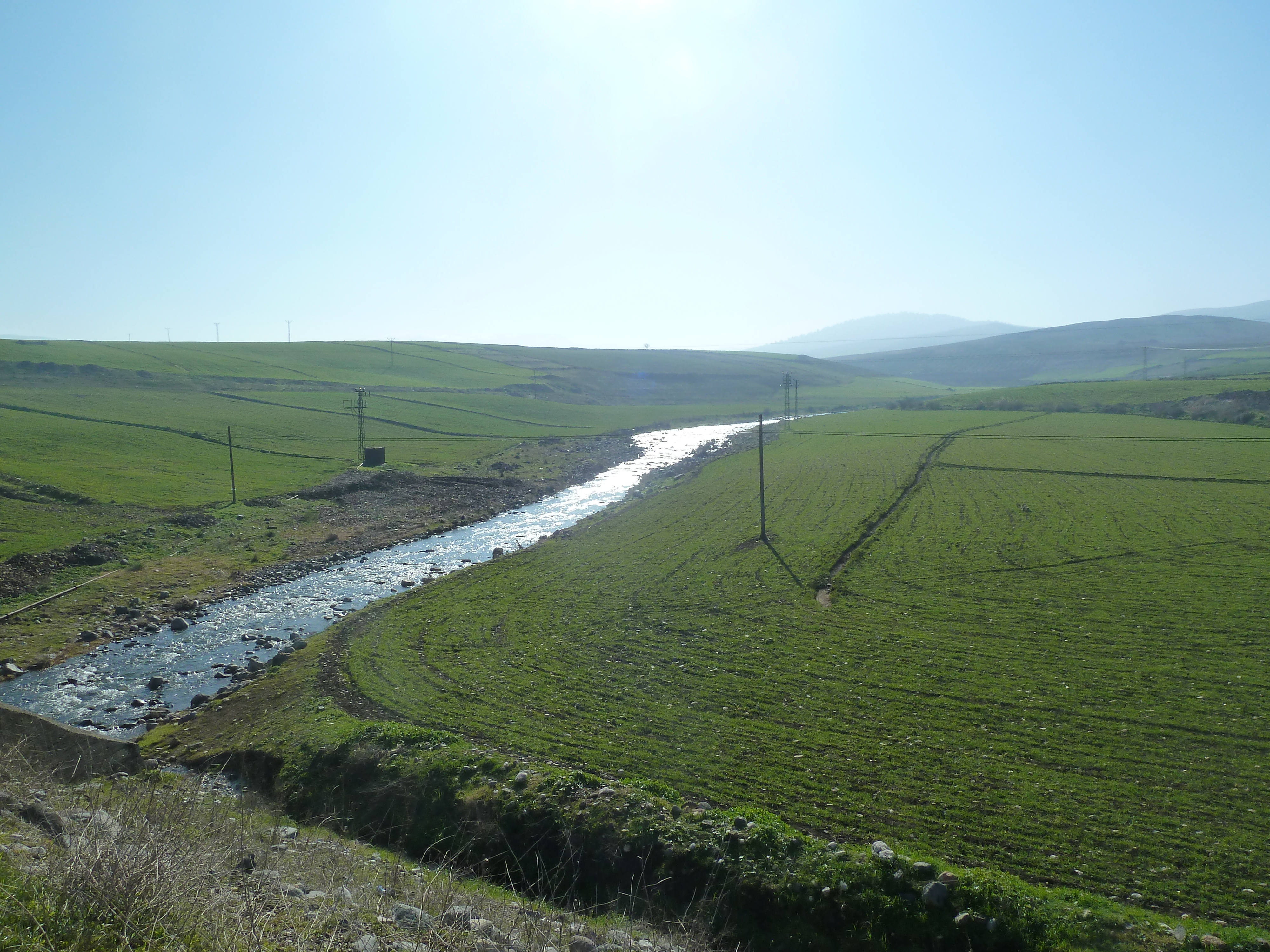
Another scene from the climb

2010-05-29 16-03-21 - IMG_0407

Zeugma/Atatürk Barajı
2010-05-29 16-59-55 - IMG_0418
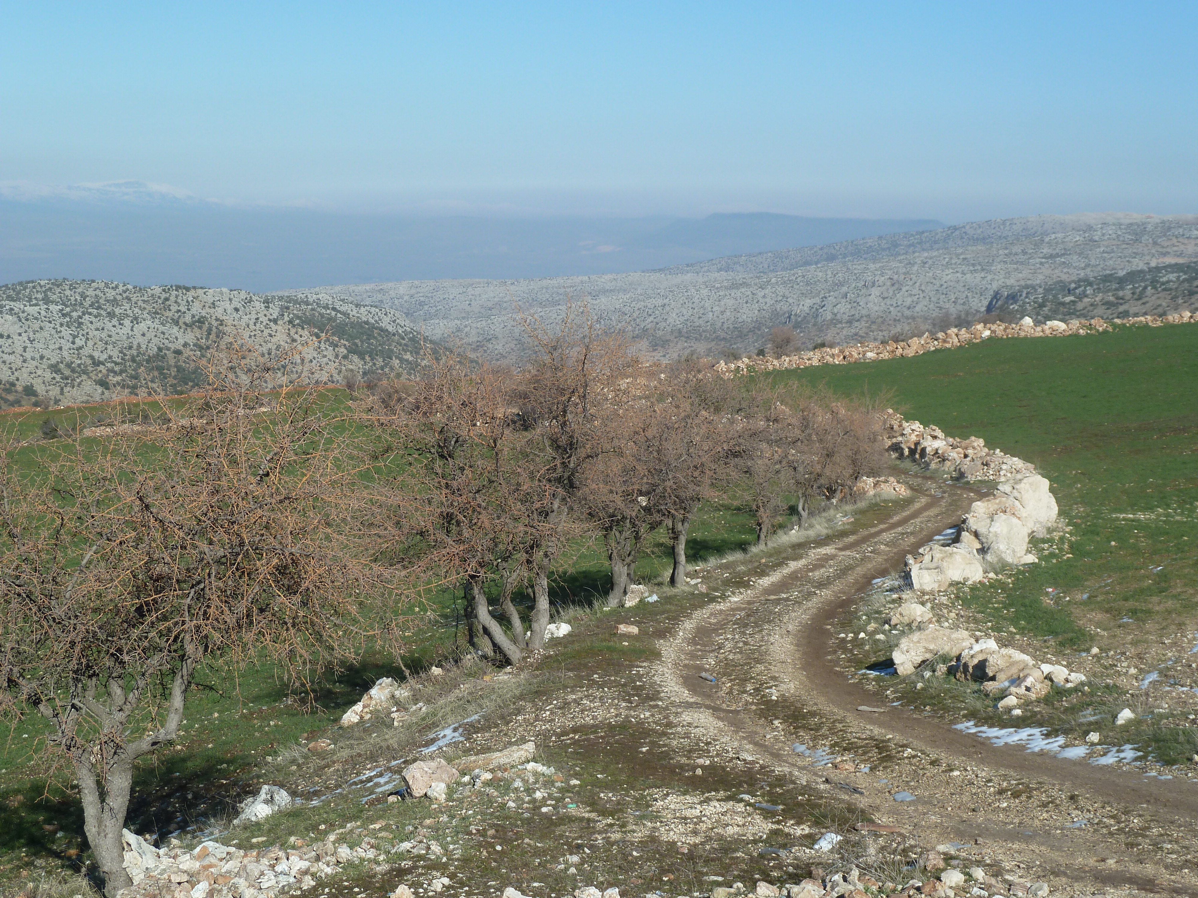
A curvy lane near Atalar
Topographic Map of Başpınar Osb/Şehitkamil/Gaziantep, Turkey
Find elevation by address:

Places near Başpınar Osb/Şehitkamil/Gaziantep, Turkey:
Şehitkamil
Dülük
Gaziantep
Gaziantep
Oğuzeli
Kahramanmaras
A'zaz
Kahramanmaraş Province
Afrin
Onikişubat
Recent Searches:
- Elevation of Lampiasi St, Sarasota, FL, USA
- Elevation of Elwyn Dr, Roanoke Rapids, NC, USA
- Elevation of Congressional Dr, Stevensville, MD, USA
- Elevation of Bellview Rd, McLean, VA, USA
- Elevation of Stage Island Rd, Chatham, MA, USA
- Elevation of Shibuya Scramble Crossing, 21 Udagawacho, Shibuya City, Tokyo -, Japan
- Elevation of Jadagoniai, Kaunas District Municipality, Lithuania
- Elevation of Pagonija rock, Kranto 7-oji g. 8"N, Kaunas, Lithuania
- Elevation of Co Rd 87, Jamestown, CO, USA
- Elevation of Tenjo, Cundinamarca, Colombia