Elevation of Ayagoz, Kazakhstan
Location: Kazakhstan >
Longitude: 80.432736
Latitude: 47.9755808
Elevation: 669m / 2195feet
Barometric Pressure: 94KPa
Elevation Map:
Satellite Map:
Related Photos:

Kazakshtan Railways: Ayagoz depot

Abandoned GAZ trucks
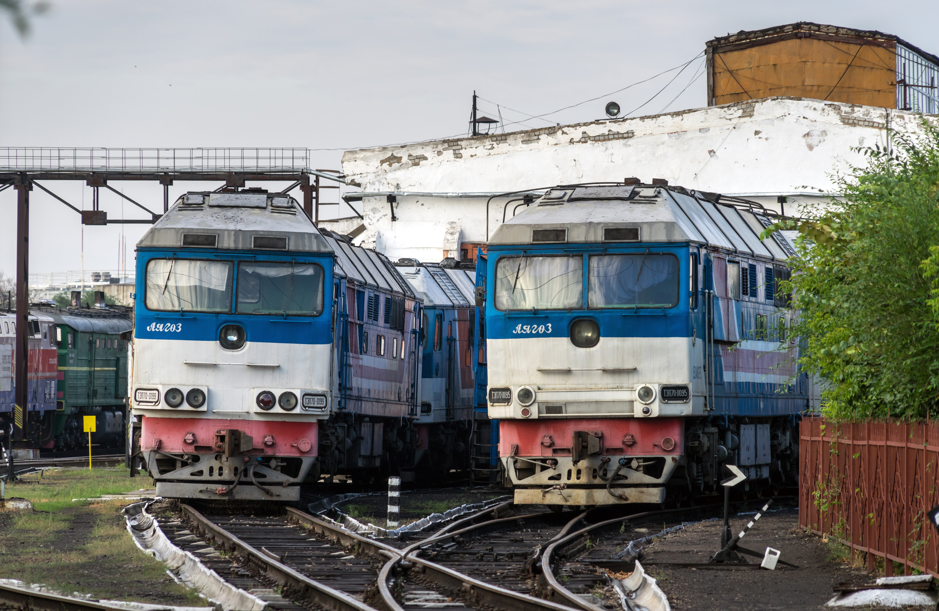
Kazakshtan Railways: TEP70 passenger diesels
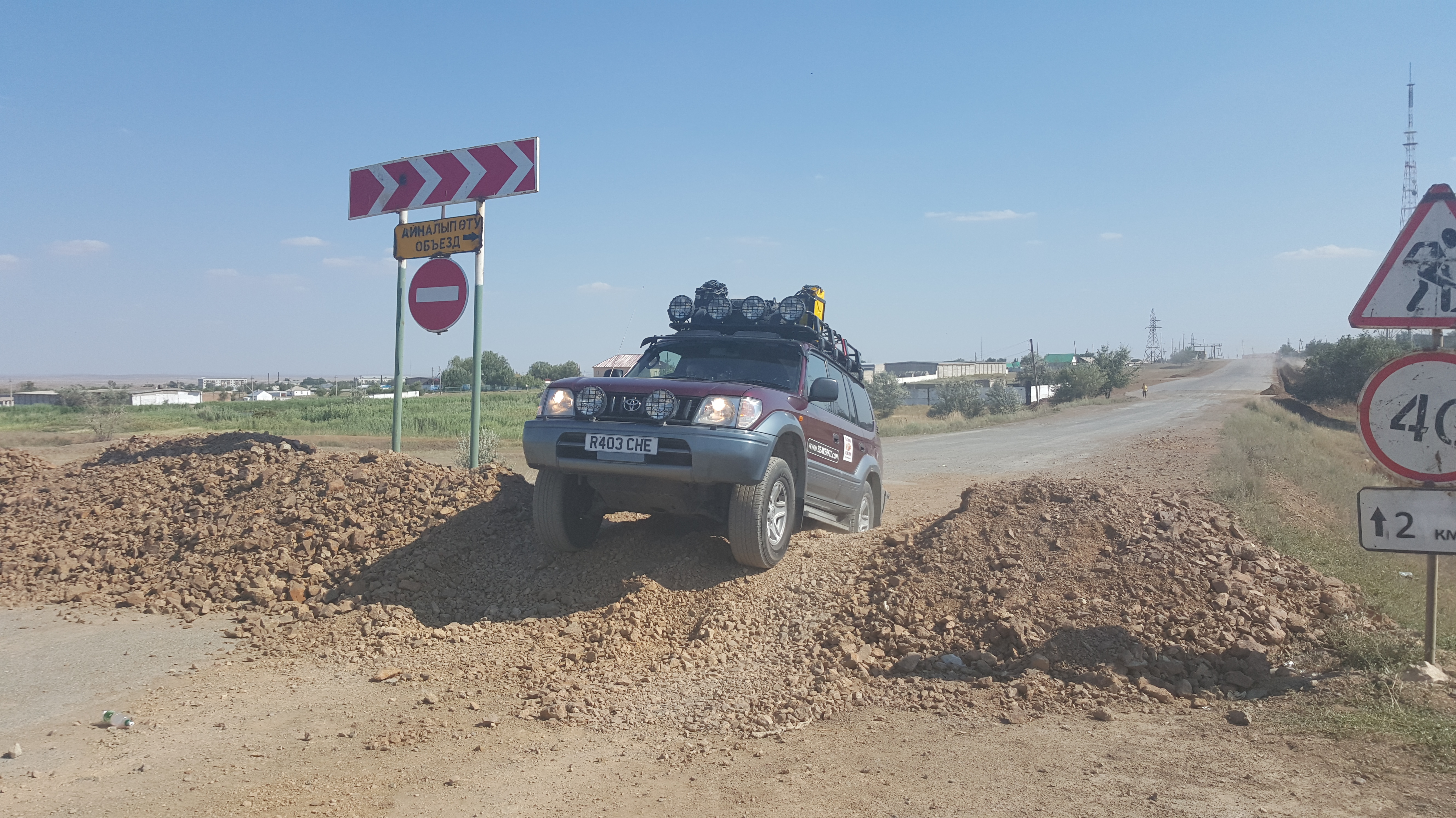
Navigating roadworks in Kazakhstan
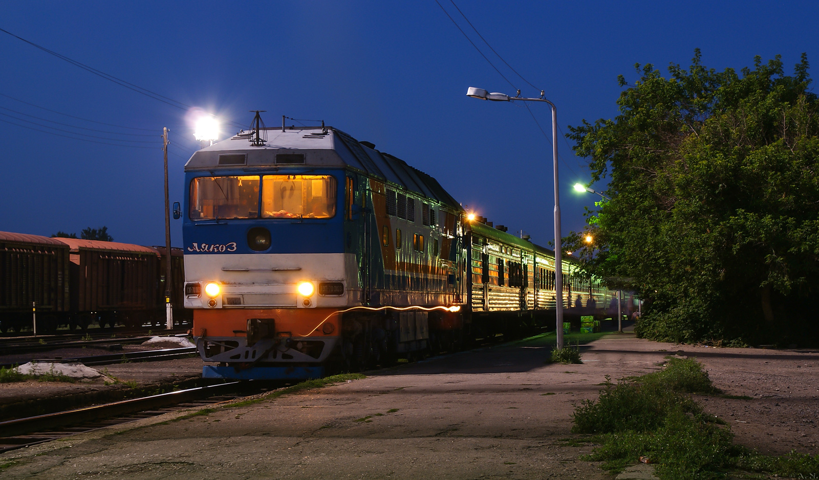
TEP70-0103 with #351 Almaty - Zaschita train

On a far away road to a far away land. Kazakhstan
Topographic Map of Ayagoz, Kazakhstan
Find elevation by address:

Places near Ayagoz, Kazakhstan:
Recent Searches:
- Elevation of Sandia Derby Estates, Tijeras, NM, USA
- Elevation of 23 Sunrise View Ct, Tijeras, NM, USA
- Elevation of Lytham Ln, Katy, TX, USA
- Elevation of Tater Hill, Oklahoma, USA
- Elevation of NY-, Friendship, NY, USA
- Elevation of 64 Danakas Dr, Winnipeg, MB R2C 5N7, Canada
- Elevation of 4 Vale Rd, Sheffield S3 9QX, UK
- Elevation of Keene Point Drive, Keene Point Dr, Grant, AL, USA
- Elevation of State St, Zanesville, OH, USA
- Elevation of Austin Stone Dr, Haslet, TX, USA