Elevation of Awaji, Hyogo Prefecture, Japan
Location: Japan > Hyogo Prefecture >
Longitude: 134.915015
Latitude: 34.4396987
Elevation: 4m / 13feet
Barometric Pressure: 101KPa
Elevation Map:
Satellite Map:
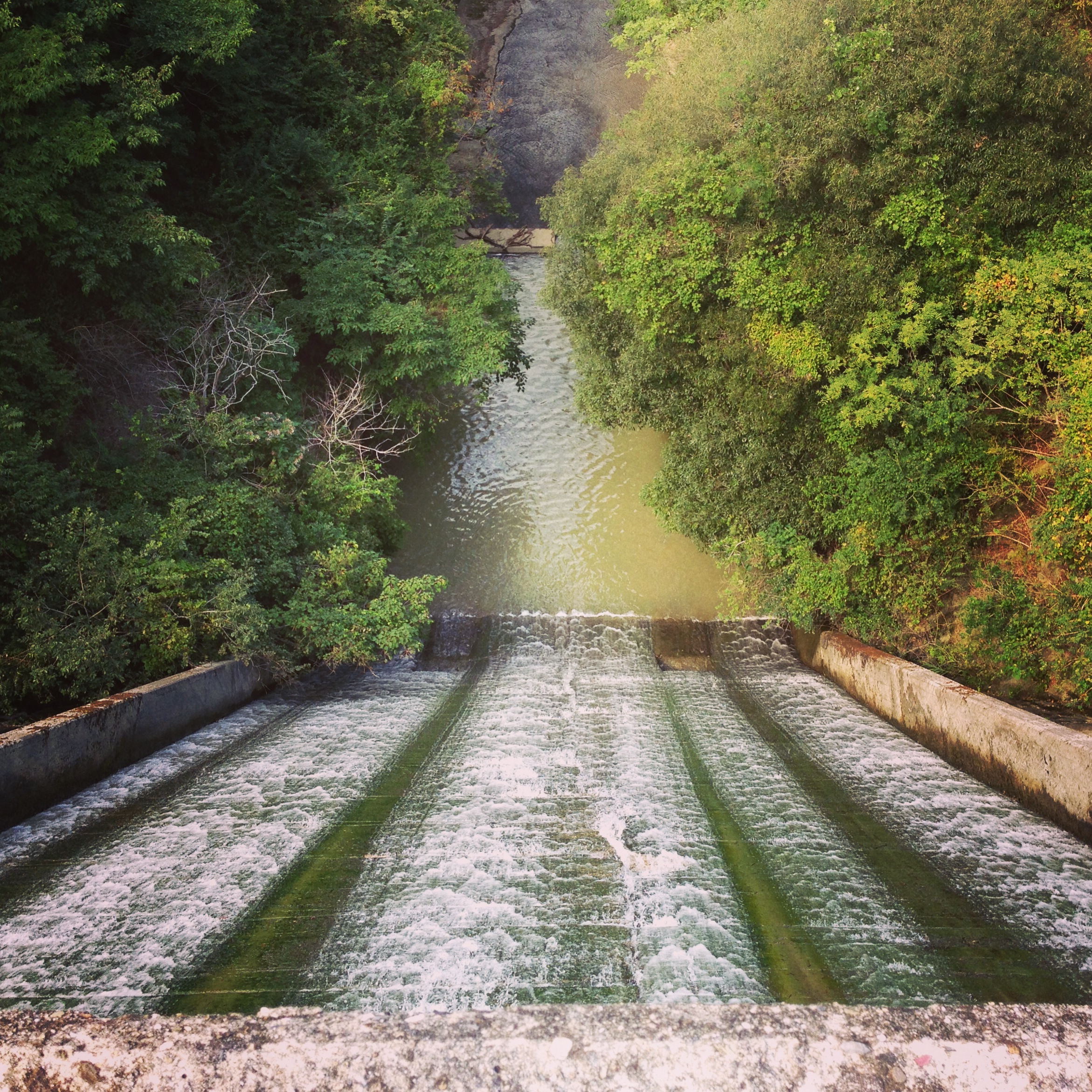
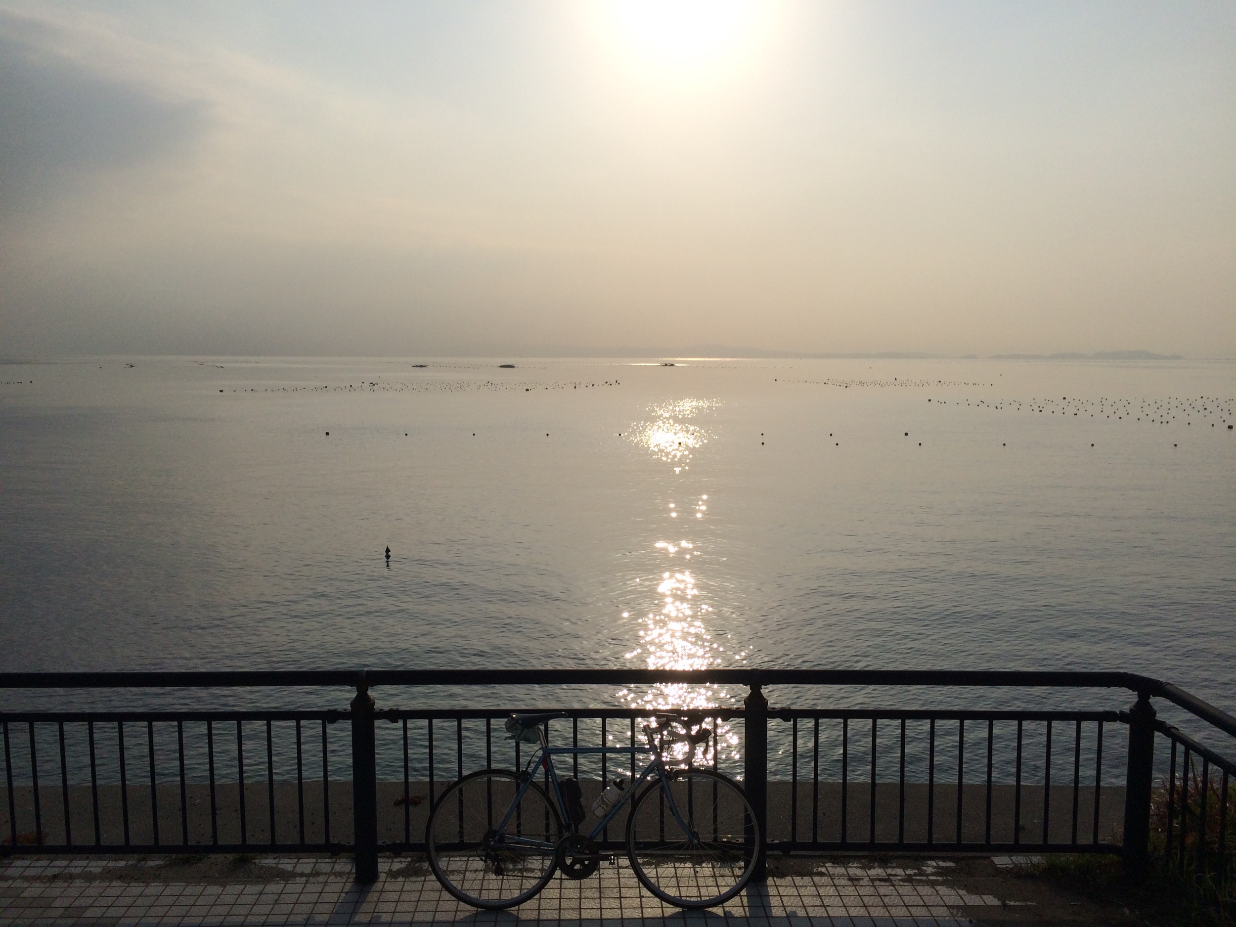
Related Photos:
Sumoto Castle, Towering over Mount Mikuma, Awaji Island.
Westin Awaji Island Hotel on Awaji Island Japan was designed by Japanese Architect Tadao Ando. I took this photo (no filter), through the walls of the hotel viewing the scenery outside.
Not a Bad View
Honpuku-ji (Water Temple) by Tadao Ando
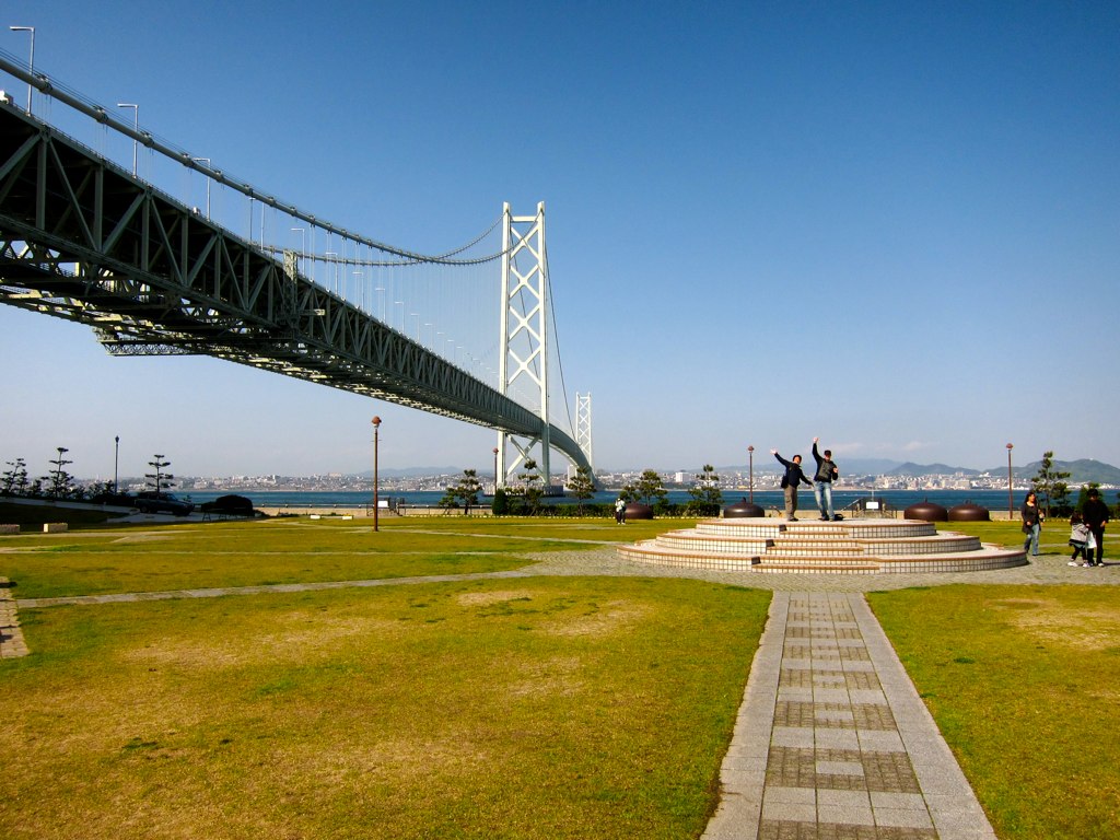
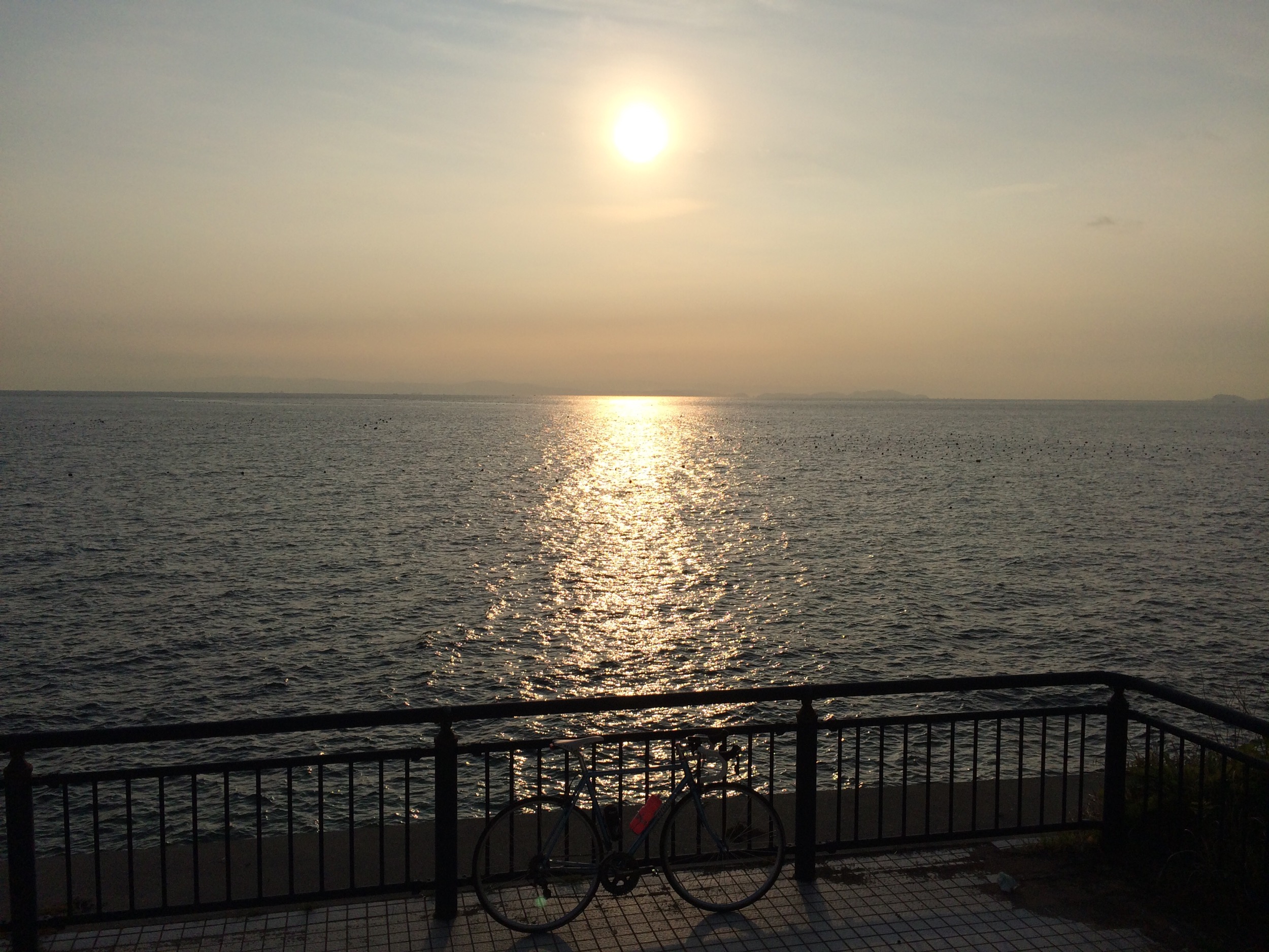
Awaji Bridge View
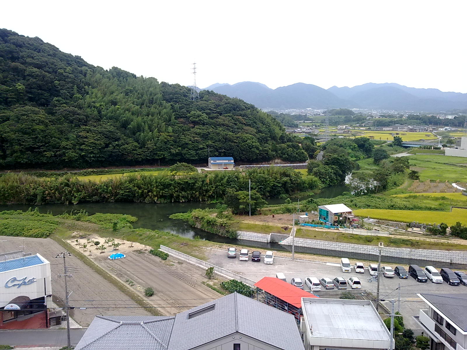
View in Sumoto
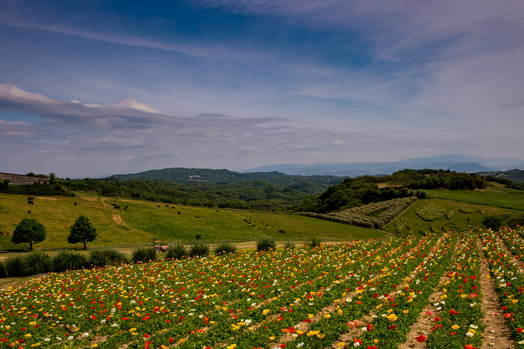
Flower garden of Awaji Island
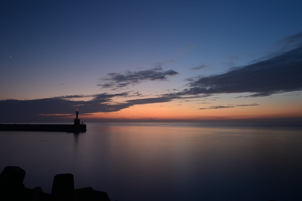
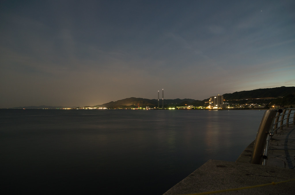
Sea after Sunset from Awaji Island
淡路交流の翼港からの景色
IMG_4515.JPG
すべての写真-7511

名門大洋フェリー

朝の住吉さん
すべての写真-7990
Topographic Map of Awaji, Hyogo Prefecture, Japan
Find elevation by address:

Places in Awaji, Hyogo Prefecture, Japan:
-20 Nojimaezaki, Awaji-shi, Hyōgo-ken -, Japan
Ikutahata, Awaji-shi, Hyōgo-ken -, Japan
Iwaya, Awaji-shi, Hyōgo-ken -, Japan
15-32 Ōiso, Awaji-shi, Hyōgo-ken -, Japan
Kusumoto, Awaji-shi, Hyōgo-ken -, Japan
51 Ogura, Awaji-shi, Hyōgo-ken -, Japan
Nojimahirabayashi, Awaji-shi, Hyōgo-ken -, Japan
1-1 Yumebutai, Awaji-shi, Hyōgo-ken -, Japan
Nojimatodoroki, Awaji-shi, Hyōgo-ken -, Japan
Sano
Places near Awaji, Hyogo Prefecture, Japan:
Sano
Ikutahata, Awaji-shi, Hyōgo-ken -, Japan
Sumoto
Kamigamo, Sumoto-shi, Hyōgo-ken -, Japan
51 Ogura, Awaji-shi, Hyōgo-ken -, Japan
Nojimatodoroki, Awaji-shi, Hyōgo-ken -, Japan
Nojimatokiwa, Awaji-shi, Hyōgo-ken -, Japan
Kusumoto, Awaji-shi, Hyōgo-ken -, Japan
1220 Hirotahirota
Awaji Island
Nojimahirabayashi, Awaji-shi, Hyōgo-ken -, Japan
Goshikichō Torikaiura, Sumoto-shi, Hyōgo-ken -, Japan
-20 Nojimaezaki, Awaji-shi, Hyōgo-ken -, Japan
Goshikichō Torikaiura, Sumoto-shi, Hyōgo-ken -, Japan
Minamiawaji
Akashi
Akashi Castle Ruin
Akashikoen
Ōkubochō Matsukage, Akashi-shi, Hyōgo-ken -, Japan
Nishi Ward
Recent Searches:
- Elevation of Zu den Ihlowbergen, Althüttendorf, Germany
- Elevation of Badaber, Peshawar, Khyber Pakhtunkhwa, Pakistan
- Elevation of SE Heron Loop, Lincoln City, OR, USA
- Elevation of Slanický ostrov, 01 Námestovo, Slovakia
- Elevation of Spaceport America, Co Rd A, Truth or Consequences, NM, USA
- Elevation of Warwick, RI, USA
- Elevation of Fern Rd, Whitmore, CA, USA
- Elevation of 62 Abbey St, Marshfield, MA, USA
- Elevation of Fernwood, Bradenton, FL, USA
- Elevation of Felindre, Swansea SA5 7LU, UK