Elevation of Ave 54, Alpaugh, CA, USA
Location: United States > California > Tulare County > Alpaugh >
Longitude: -119.48687
Latitude: 35.8878281
Elevation: 65m / 213feet
Barometric Pressure: 101KPa
Elevation Map:
Satellite Map:
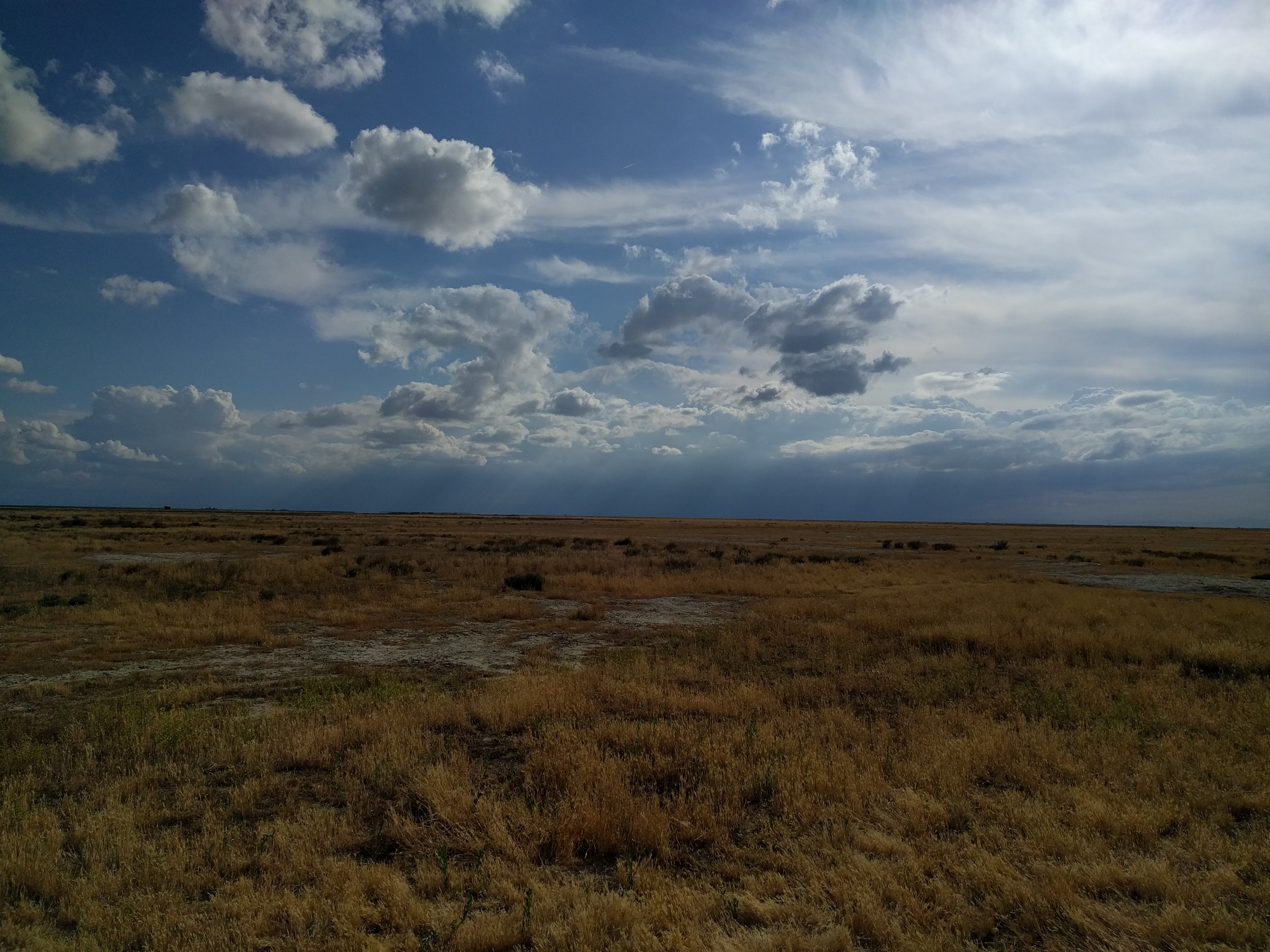
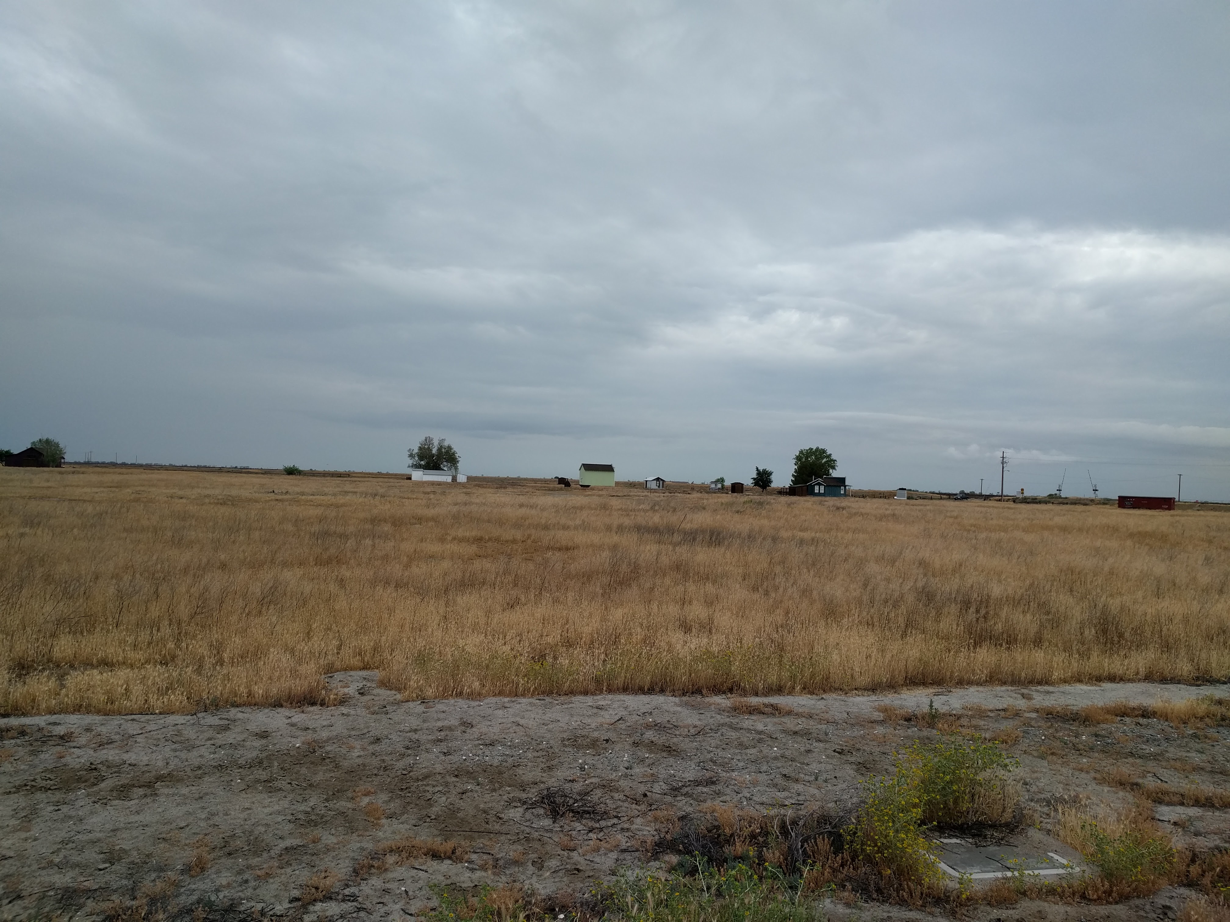
Related Photos:
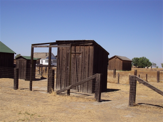
Outhouse
IMG_1317
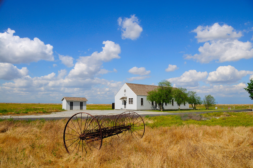
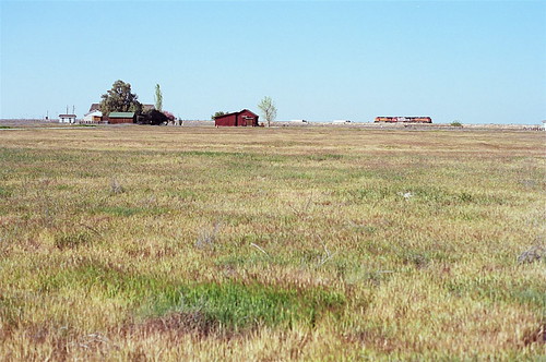
Allensworth California

Evening Storm Lowering, SJ Valley, NIK
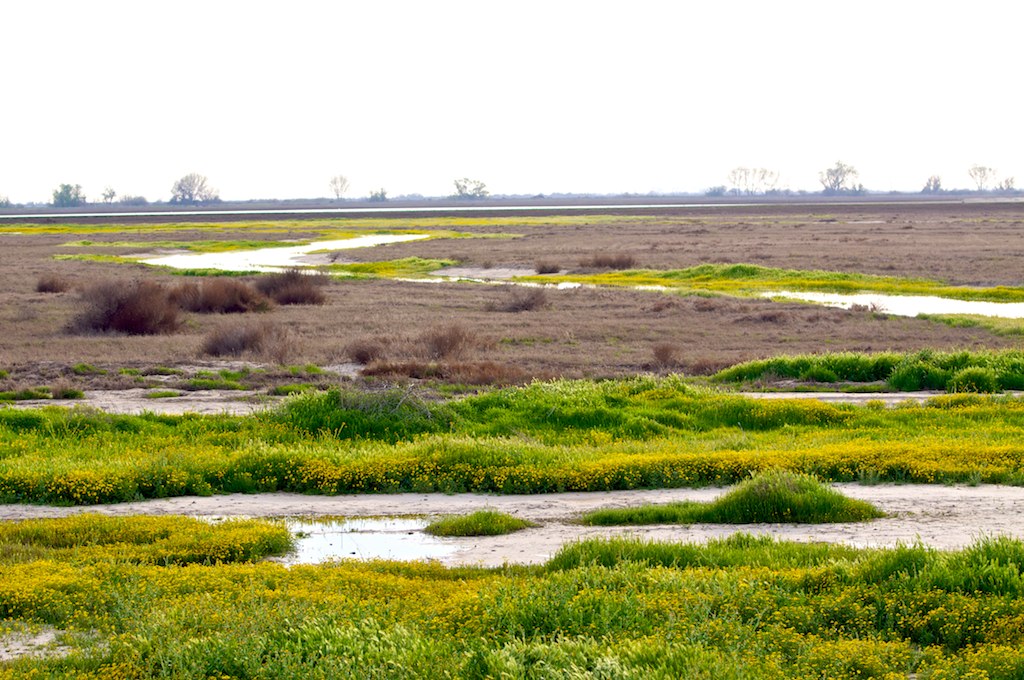
_DSC8445 Pixley NWR

Allensworth Centennial 2008 Ashby House and Dairy Barn
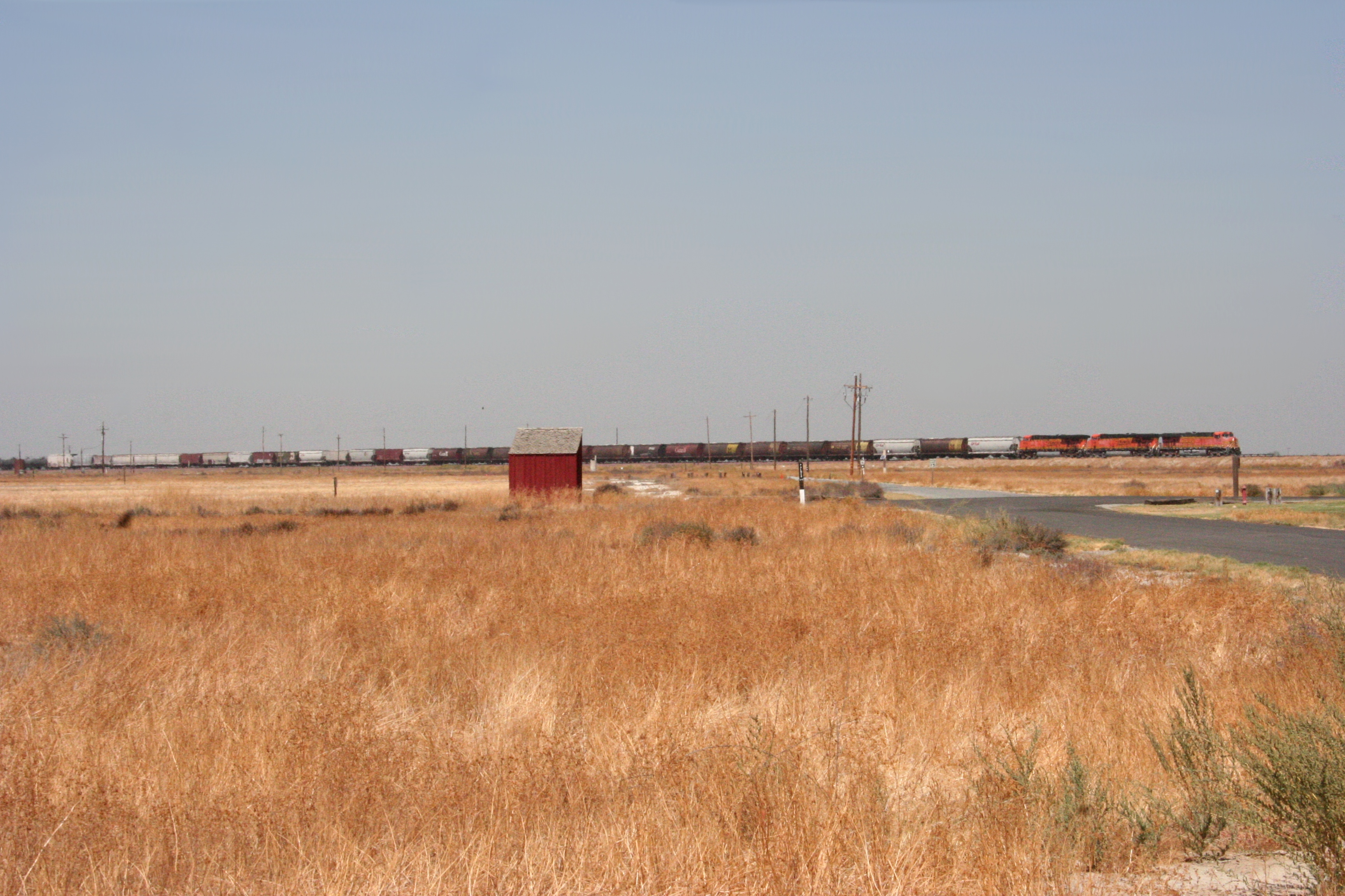
Burlington Northern and Santa Fe Railroad

The Santa Fe Railroad passing Allensworth

Another Train passing by
train rolls by
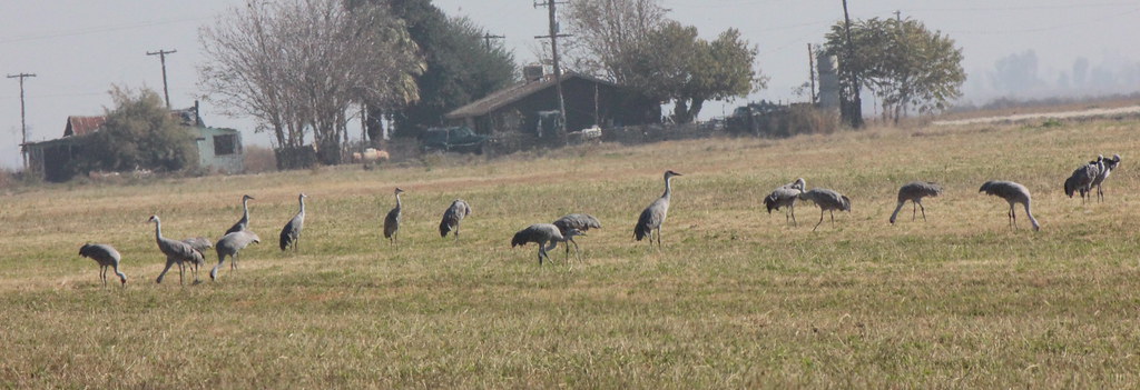
Sandhill Cranes
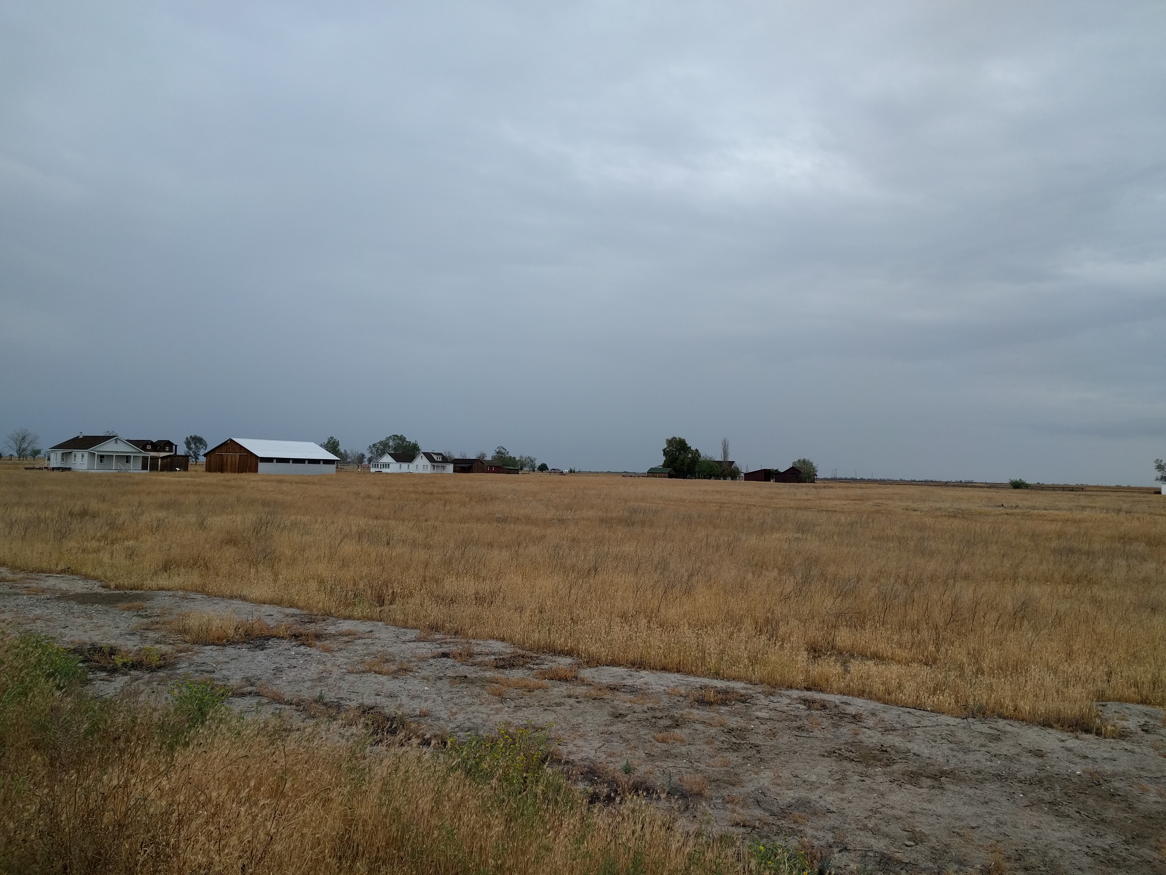
Allensworth 04-09-16
Allensworth 04-09-16
Allensworth 04-09-16
Allensworth 04-09-16
Allensworth 04-09-16

Meadow Lark

White Pelicans
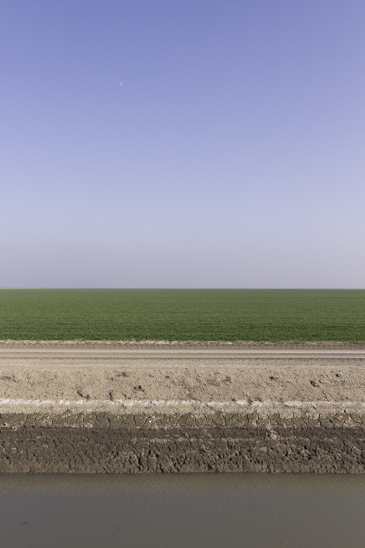
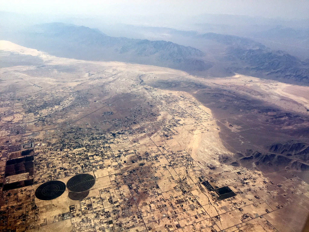
Central Valley
Topographic Map of Ave 54, Alpaugh, CA, USA
Find elevation by address:

Places near Ave 54, Alpaugh, CA, USA:
Alpaugh
Alpaugh Unified School District
Stowe Ave, Earlimart, CA, USA
Ave, Corcoran, CA, USA
16026 Rd 64
E Davis St, Pixley, CA, USA
Pixley
Earlimart
Pond Rd, Wasco, CA, USA
Tipton
Waukena Ave, Tulare, CA, USA
53 Central Valley Hwy, Wasco, CA, USA
Delano
Atwell Island Water District
CA-46, Wasco, CA, USA
10800 Ave 184
19814 Rd 96
Saint Andrews Crescent
Ave, Tulare, CA, USA
Avenue, Tipton, CA, USA
Recent Searches:
- Elevation of East W.T. Harris Boulevard, E W.T. Harris Blvd, Charlotte, NC, USA
- Elevation of West Sugar Creek, Charlotte, NC, USA
- Elevation of Wayland, NY, USA
- Elevation of Steadfast Ct, Daphne, AL, USA
- Elevation of Lagasgasan, X+CQH, Tiaong, Quezon, Philippines
- Elevation of Rojo Ct, Atascadero, CA, USA
- Elevation of Flagstaff Drive, Flagstaff Dr, North Carolina, USA
- Elevation of Avery Ln, Lakeland, FL, USA
- Elevation of Woolwine, VA, USA
- Elevation of Lumagwas Diversified Farmers Multi-Purpose Cooperative, Lumagwas, Adtuyon, RV32+MH7, Pangantucan, Bukidnon, Philippines