Elevation of Av. Emiliano Zapata 38, La Concepción, Ver., Mexico
Location: Mexico > Veracruz >
Longitude: -97.404924
Latitude: 20.6488418
Elevation: 29m / 95feet
Barometric Pressure: 101KPa
Elevation Map:
Satellite Map:
Related Photos:

Diente de León "abuelitos"
Muralla contra el rio
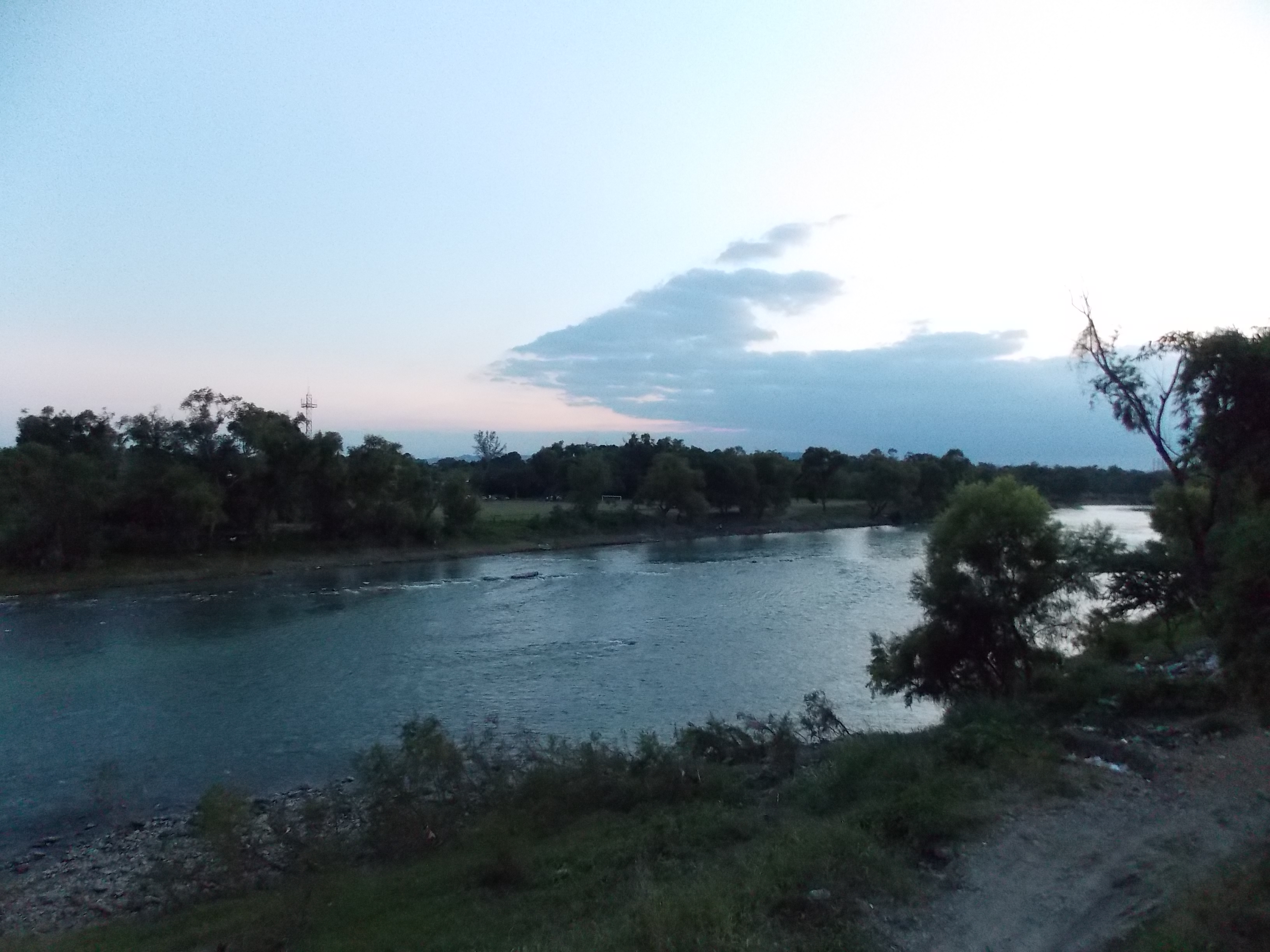
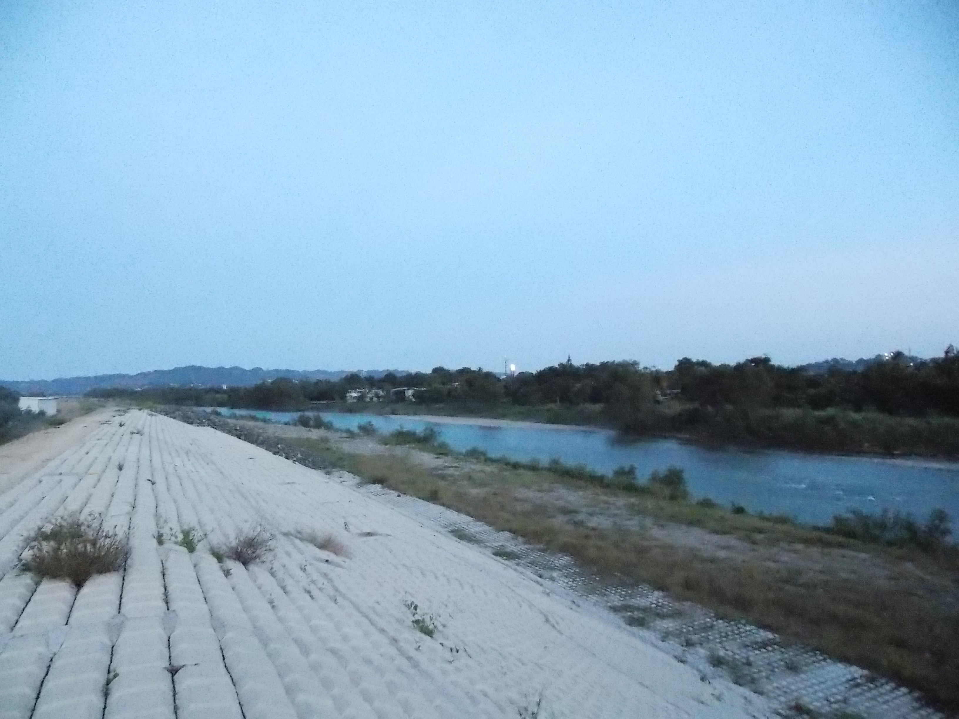
Rio Cazones
La unión Time Lapse
Poza Rica

DSC04440.JPG

DSC04455.JPG

DSC04441.JPG

On the road

DSC04410.JPG

DSC04433.JPG

DSC04431.JPG

DSC04425.JPG

DSC04429.JPG

DSC04424.JPG

DSC04409.JPG

DSC04428.JPG

DSC04426.JPG

Distribuidor Vial
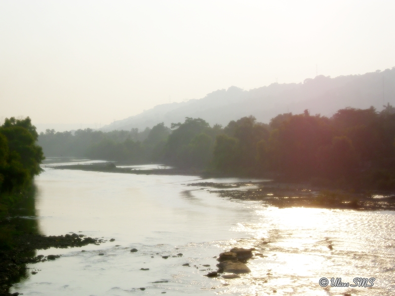
Rio Cazones

DSC04427.JPG
Topographic Map of Av. Emiliano Zapata 38, La Concepción, Ver., Mexico
Find elevation by address:

Places near Av. Emiliano Zapata 38, La Concepción, Ver., Mexico:
Naranjos 39, El Palmar, Ver., Mexico
Tuxpan-Mexico 34, La Loma, Ver., Mexico
La Loma
Tihuatlan
Nayarit, Nacional, Tihuatlán, Ver., Mexico
Nacional
Tihuatlan
Viad. la Providencia, Veracruz, Mexico
Viad. la Providencia 16, Veracruz, Mexico
Viad. la Providencia, Puebla, Mexico
Tajin
Papantla De Olarte
Papantla
Martinez de la Torre-Canoas, El Chote, Ver., Mexico
Guadaloupe
Poza Rica-Tampico, Veracruz, Mexico
Durango, Guadalupe, Papantla de Olarte, Ver., Mexico
Esperanza Cruz, Tierra Blanca, Ver., Mexico
Tierra Blanca
Av. Revolución, Tlahuanapa, Ver., Mexico
Recent Searches:
- Elevation of Royal Ontario Museum, Queens Park, Toronto, ON M5S 2C6, Canada
- Elevation of Groblershoop, South Africa
- Elevation of Power Generation Enterprises | Industrial Diesel Generators, Oak Ave, Canyon Country, CA, USA
- Elevation of Chesaw Rd, Oroville, WA, USA
- Elevation of N, Mt Pleasant, UT, USA
- Elevation of 6 Rue Jules Ferry, Beausoleil, France
- Elevation of Sattva Horizon, 4JC6+G9P, Vinayak Nagar, Kattigenahalli, Bengaluru, Karnataka, India
- Elevation of Great Brook Sports, Gold Star Hwy, Groton, CT, USA
- Elevation of 10 Mountain Laurels Dr, Nashua, NH, USA
- Elevation of 16 Gilboa Ln, Nashua, NH, USA