Elevation map of Australian Capital Territory, Australia
Location: Australia >
Longitude: 149.012367
Latitude: -35.473467
Elevation: 719m / 2359feet
Barometric Pressure: 93KPa
Elevation Map:
Satellite Map:
Related Photos:

How Green Is My Valley?

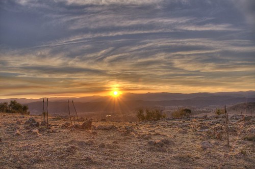
Canberra Sunset
Sunset in HDR
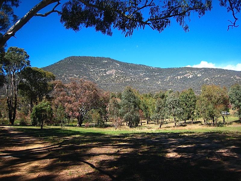
Mt Tennent from visitor's centre
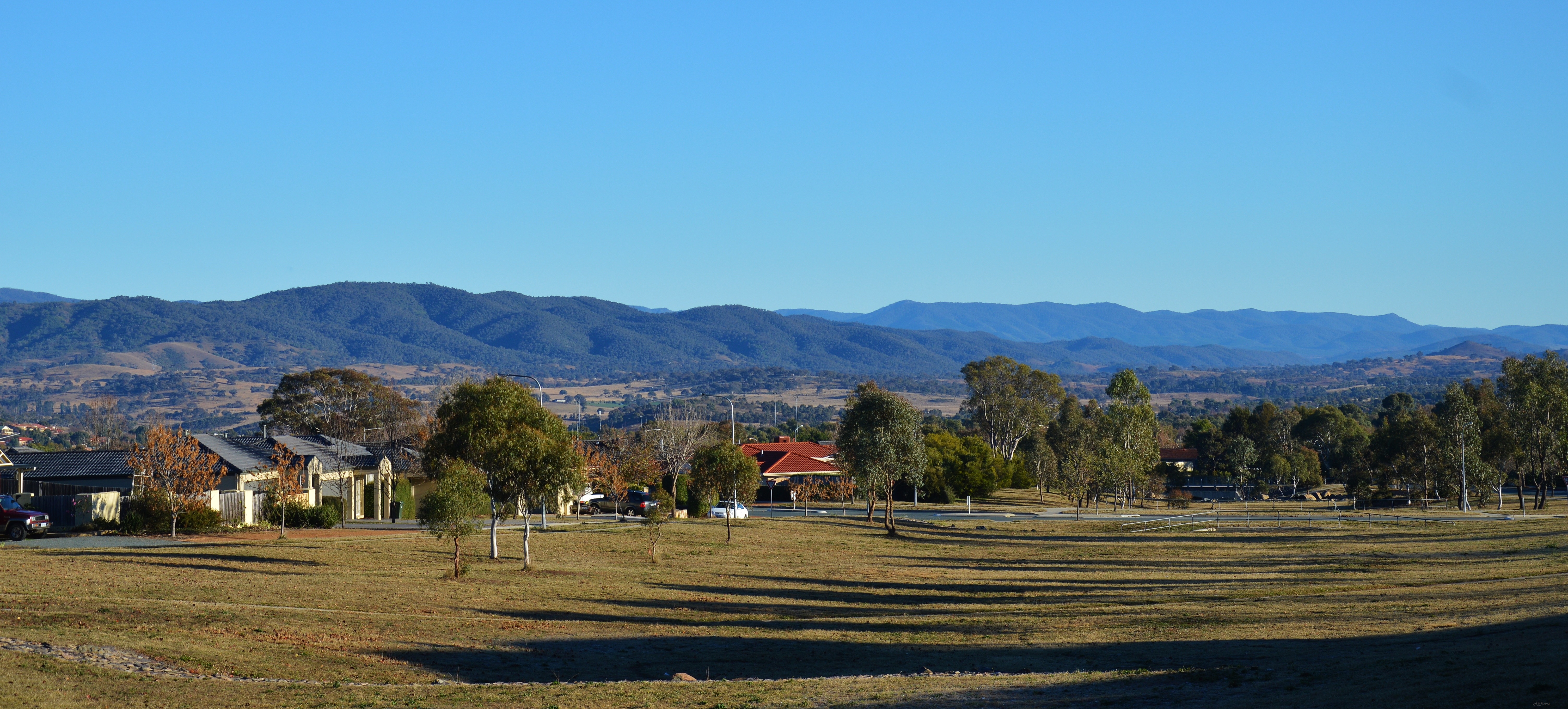
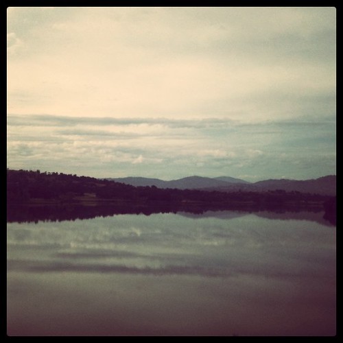
View from Conder, Canberra ..
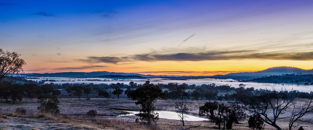
Lanyon Valley Sunrise
Bus ride view
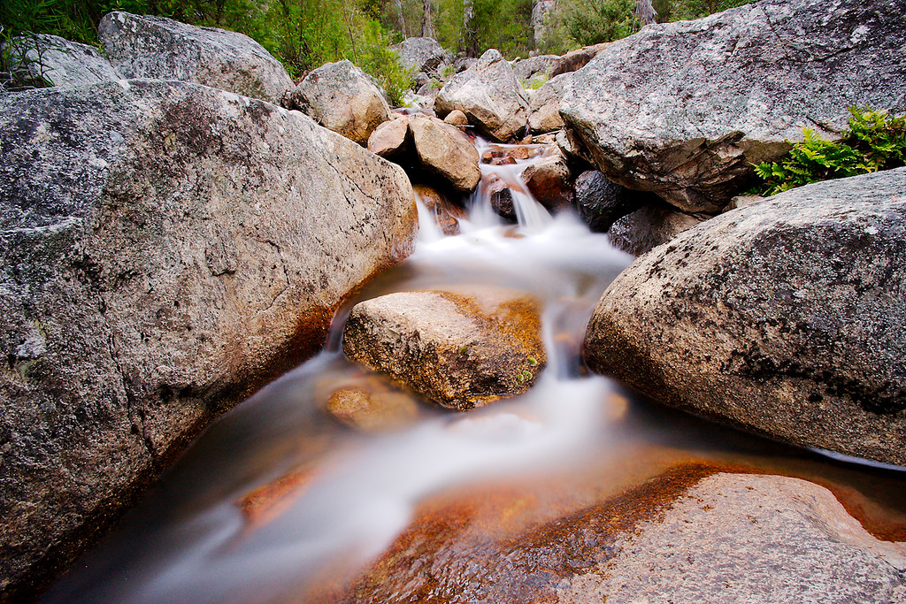
Gibraltar Falls

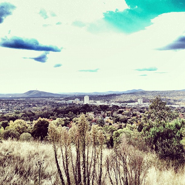
View of Canberra

View of Canberra
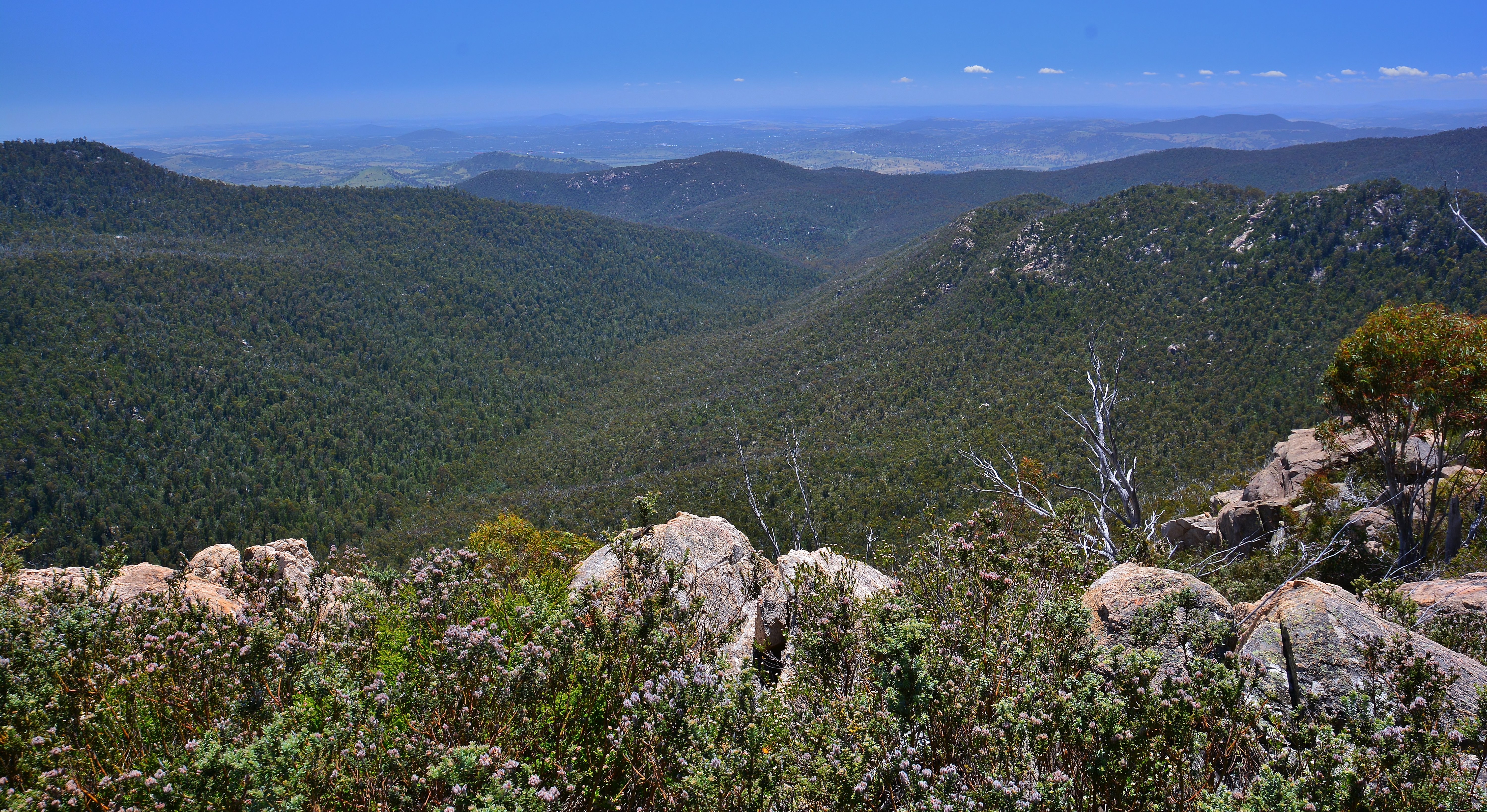
View from Booroomba Rocks

View of Canberra

The view from Red Hill 14.06.2014 - HDR

View of Canberra

View of Canberra

View of Canberra

View of Canberra
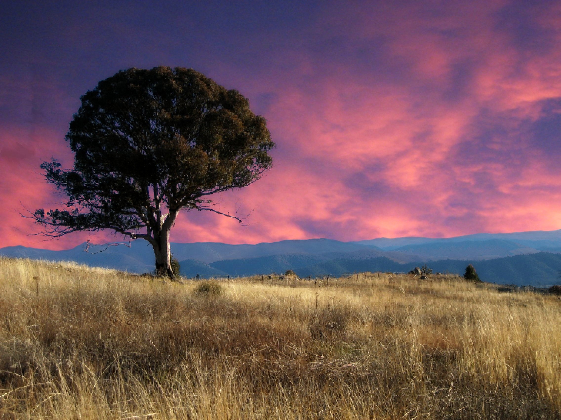
Sunset Tree

Can-459-482 Lanyon Homstead backyard

#projectlife365 #view
View from the top
Legoland?
On the way home
Tidbinbilla All Around
Up at Mt Taylor

Banksia marginata
Woodland understory - more Bulbine Lilys

Tuggeranong Sunset

Gibraltar Falls-7846

6 February 2011 37/365

Paddys River Road

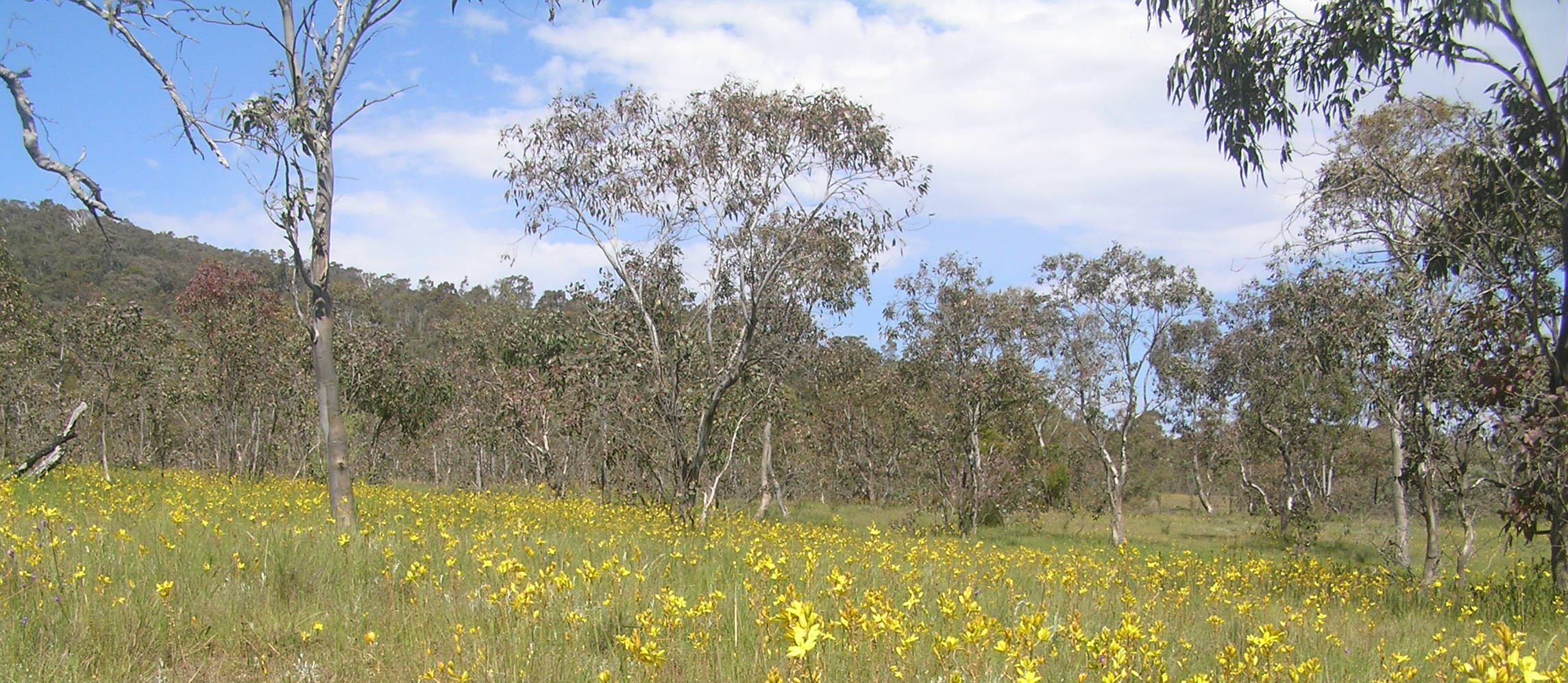
Wanniassa Hills Nature Reserve

Tuggeranong Sunset Panorama

Tuggeranong Sunset

Gibraltar Falls

cba_space_centre - 08
Topographic Map of Australian Capital Territory, Australia
Find elevation by address:

Places in Australian Capital Territory, Australia:
Richardson
Paddys River
Bimberi Peak
Ainslie
Canberra
Iron Knob Street
Pearce
Majura
Lyons
Wanniassa
Franklin
Cook
Tuggeranong
Fyshwick
Giralang
Gungahlin
Kambah
Places near Australian Capital Territory, Australia:
Paddys River
421 Discovery Dr
Brindabella Valley Road
308 Brindabella Valley Rd
Bimberi Peak
Mt Selwyn & Lake Eucumbene Lodge
Adaminaby
Kiandra
Selwyn Snow Resort
The Junction - Tumut And Goobagandra - Lions Club
Cabramurra
Tumut
176 Capper St
52 Howick St
Snowy Valleys Council
Snowy River Shire Council
Berridale
Maragle
Snowy Monaro Regional Council
Jindabyne
Recent Searches:
- Elevation of Corso Fratelli Cairoli, 35, Macerata MC, Italy
- Elevation of Tallevast Rd, Sarasota, FL, USA
- Elevation of 4th St E, Sonoma, CA, USA
- Elevation of Black Hollow Rd, Pennsdale, PA, USA
- Elevation of Oakland Ave, Williamsport, PA, USA
- Elevation of Pedrógão Grande, Portugal
- Elevation of Klee Dr, Martinsburg, WV, USA
- Elevation of Via Roma, Pieranica CR, Italy
- Elevation of Tavkvetili Mountain, Georgia
- Elevation of Hartfords Bluff Cir, Mt Pleasant, SC, USA