Elevation of Austin Valley Dr, Lenoir, NC, USA
Location: United States > North Carolina > Caldwell County > Patterson > Patterson >
Longitude: -81.583886
Latitude: 35.995814
Elevation: 448m / 1470feet
Barometric Pressure: 96KPa
Elevation Map:
Satellite Map:
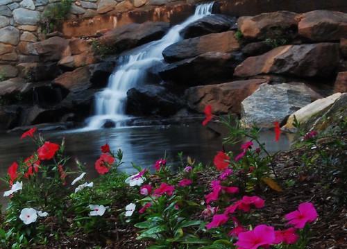
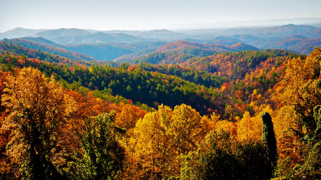
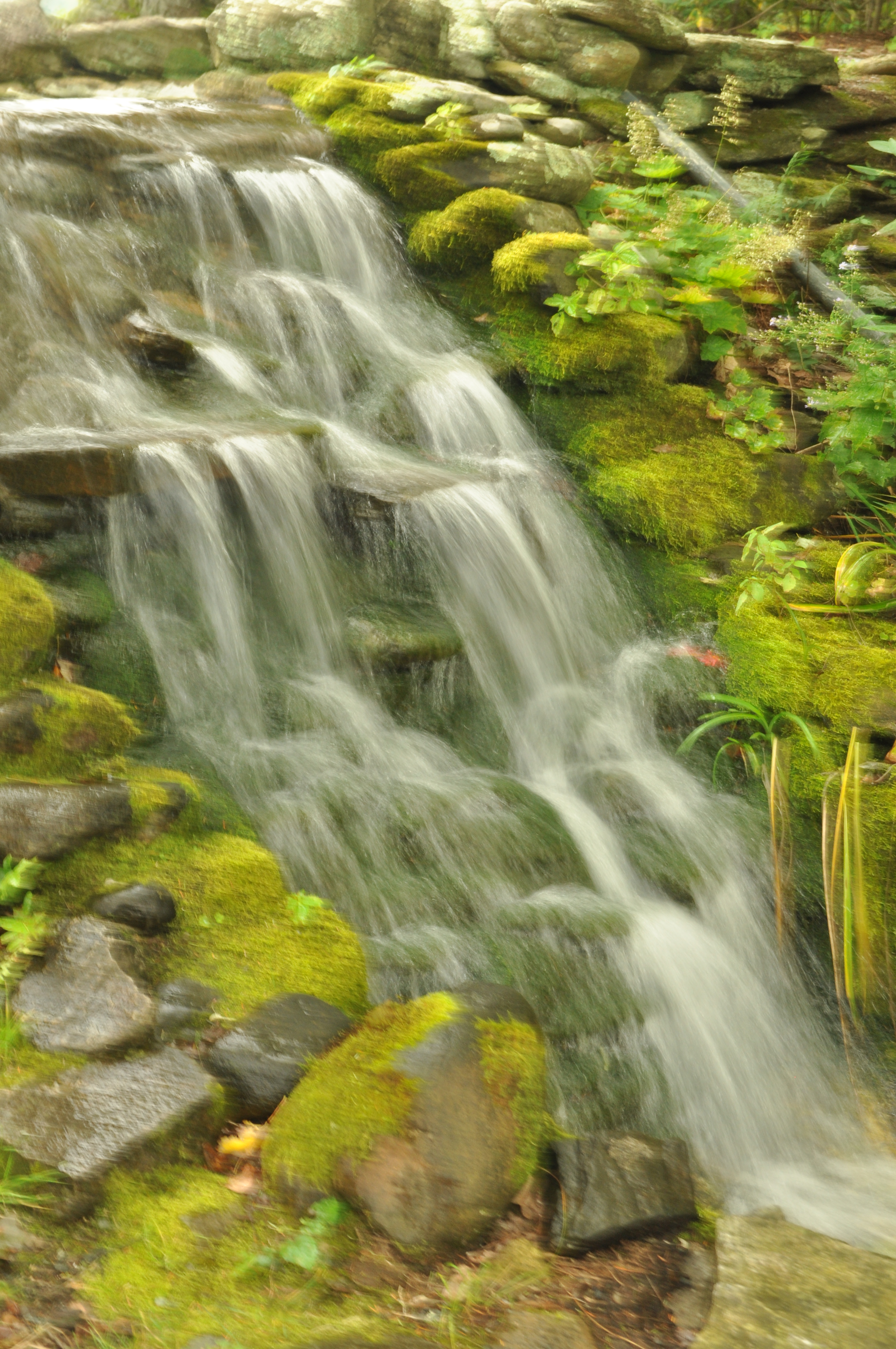
Related Photos:
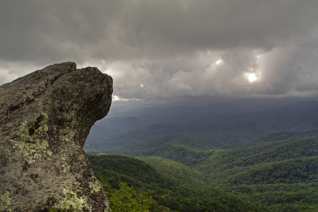
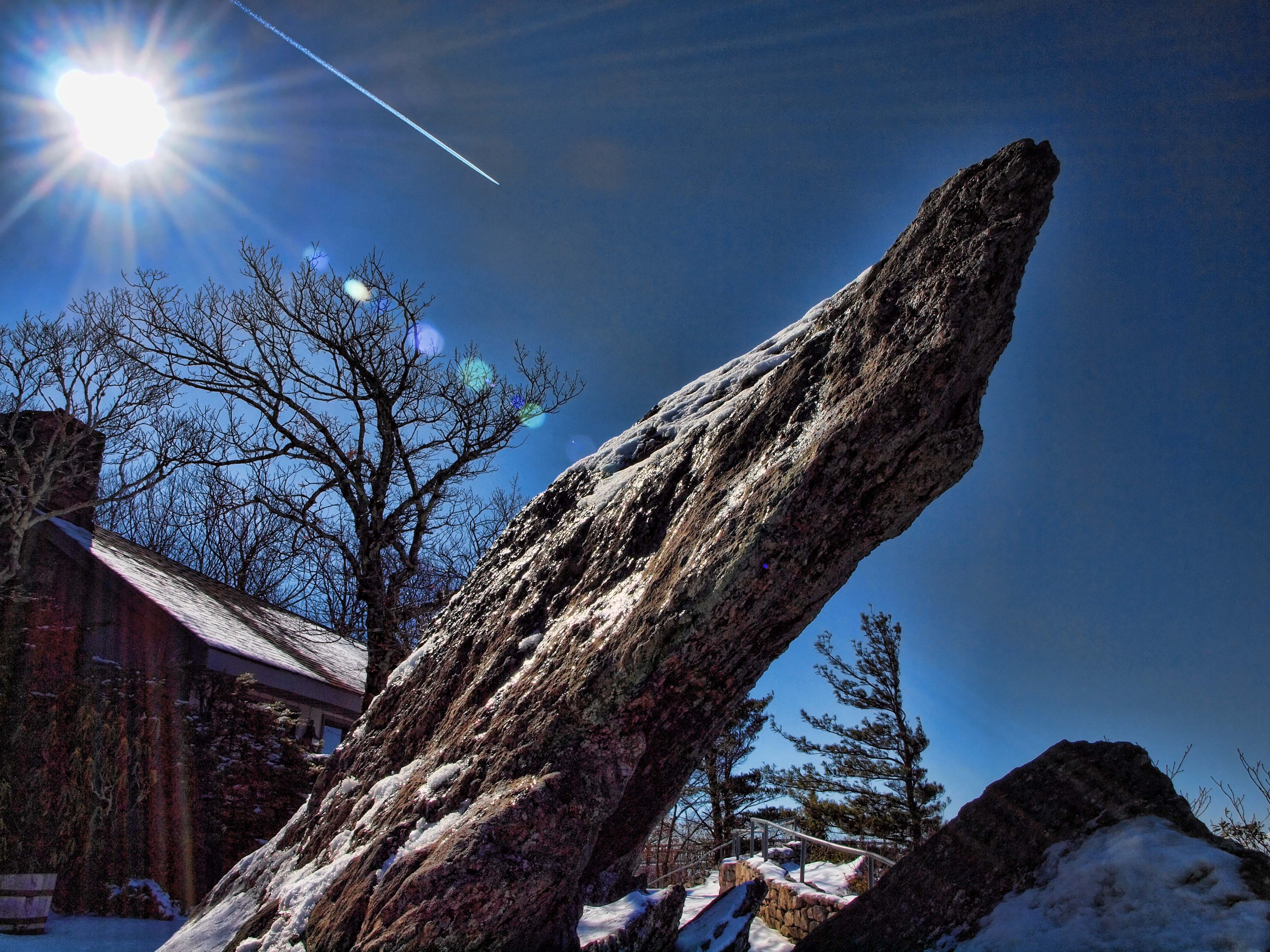
The Blowing Rock
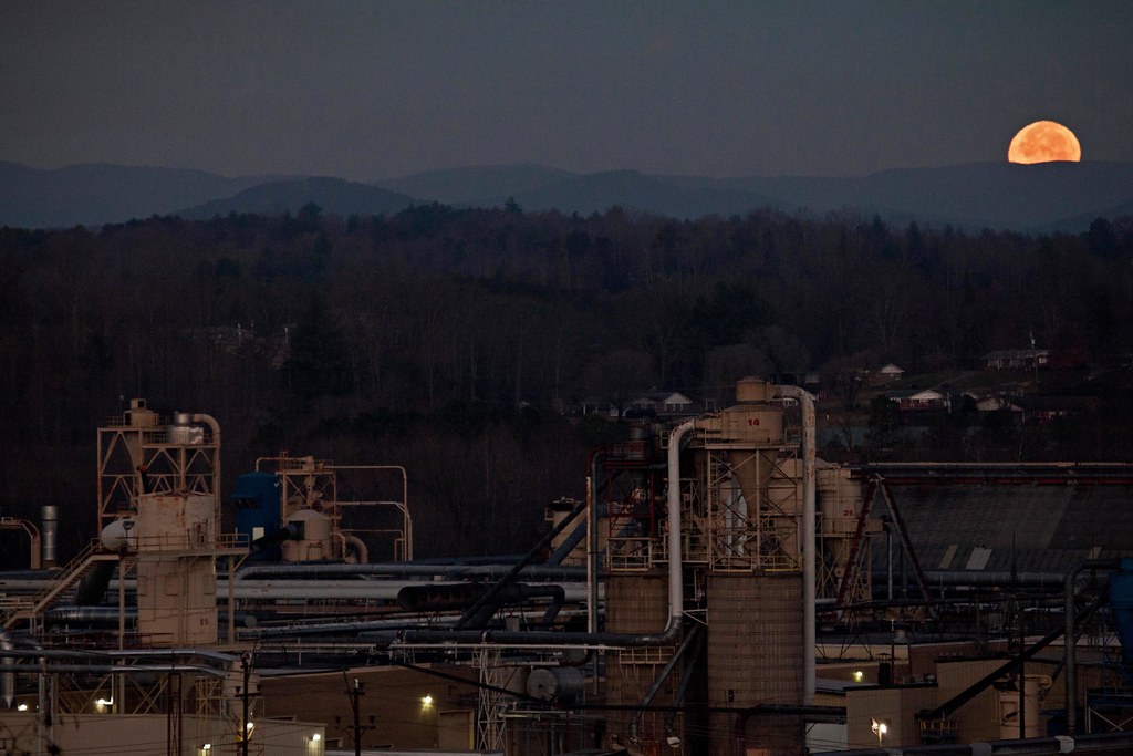
Moonset Over the Blue Ridge Mountains 48/52
The view of the Blue Ridge Mountains just outside Blowing Rock NC.

[Full View] Old Hat, Downtown Lenoir, Jonathan Cox Photoshoot
The Blowing Rock
The Blowing Rock
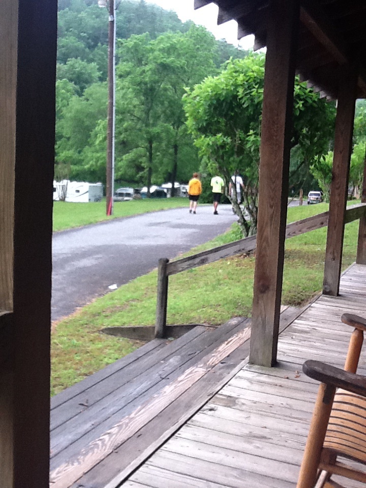
View from the porch
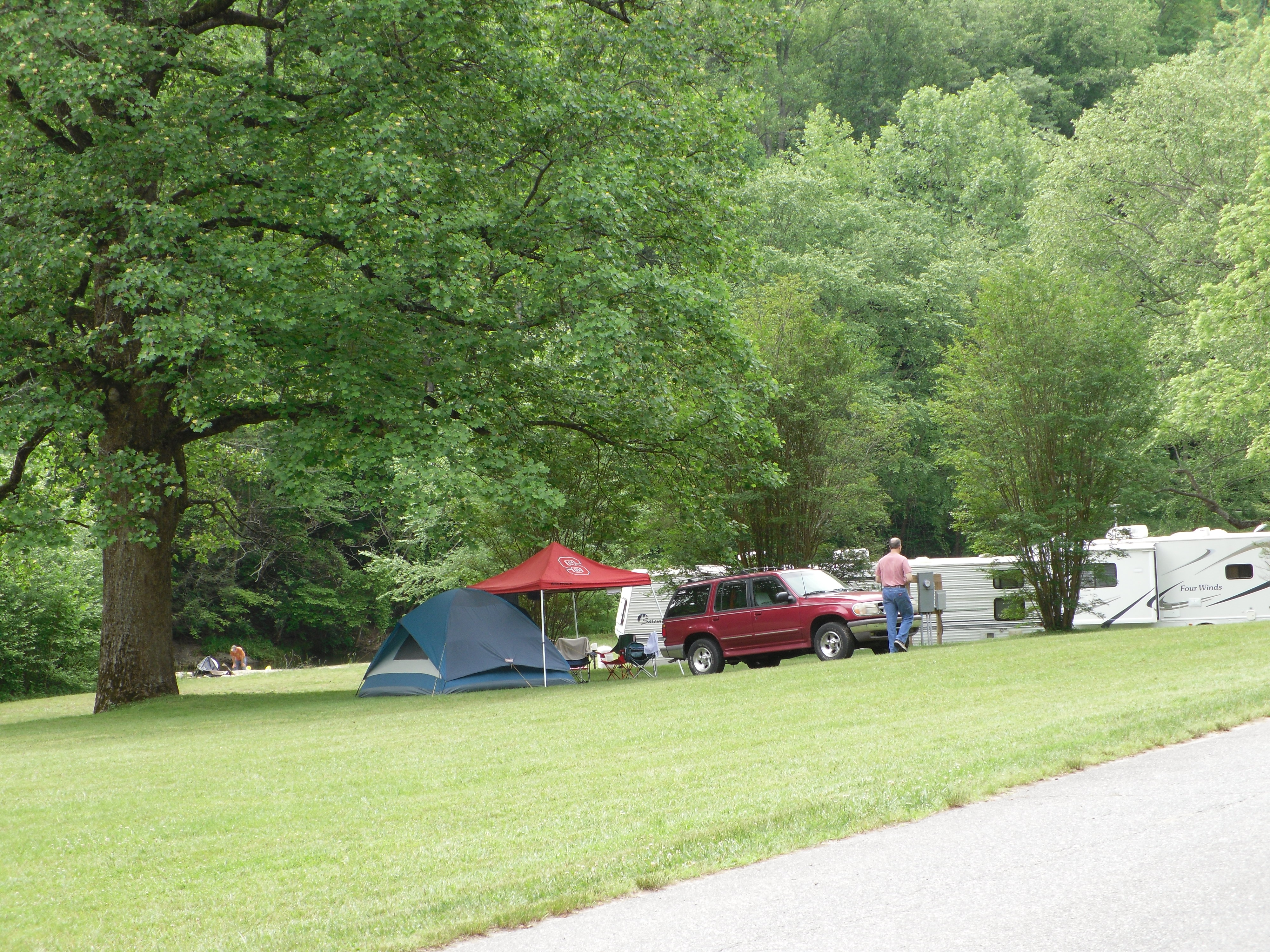
View of Tent City
Friday Cabin View
Green view
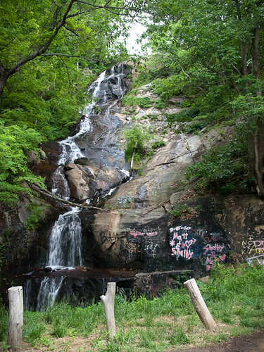
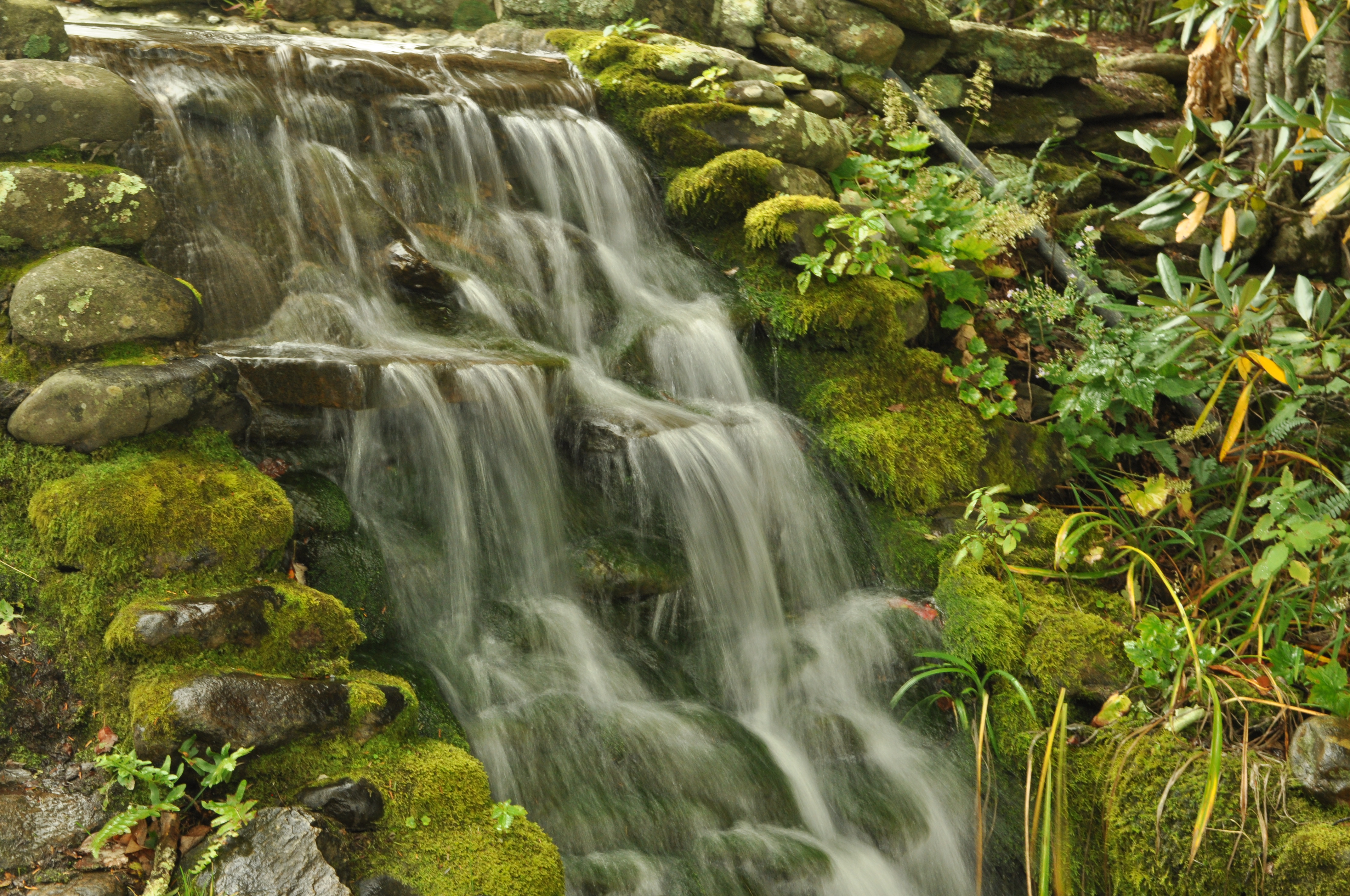
Waterfall Road waterfall - Part 2
The Blowing Rock

View from the cliff-edge
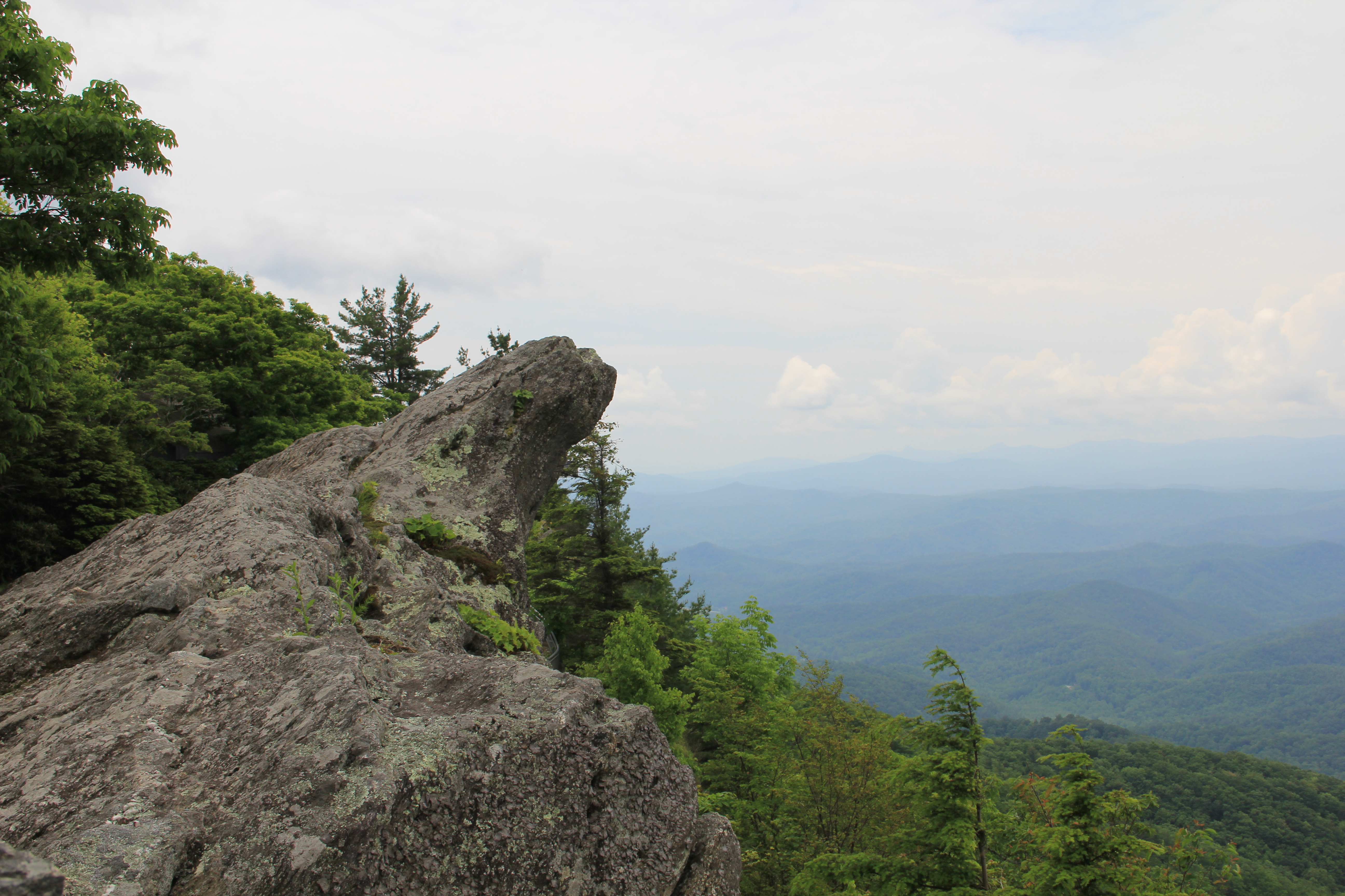
The Blowing Rock

The Blowing Rock
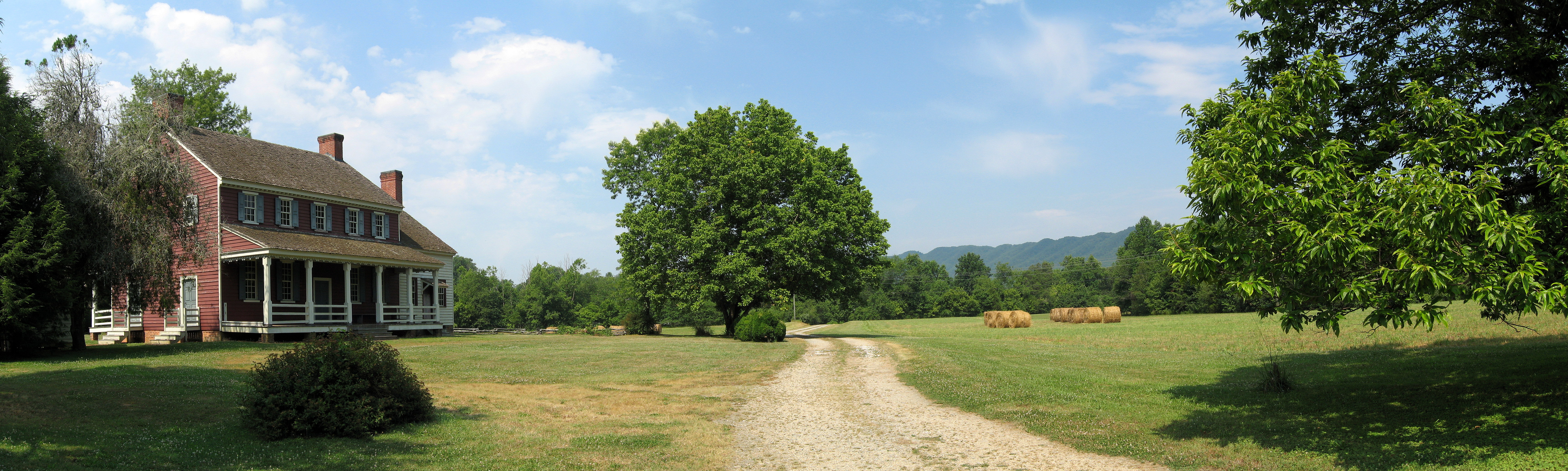
Fort Defiance
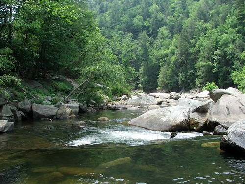
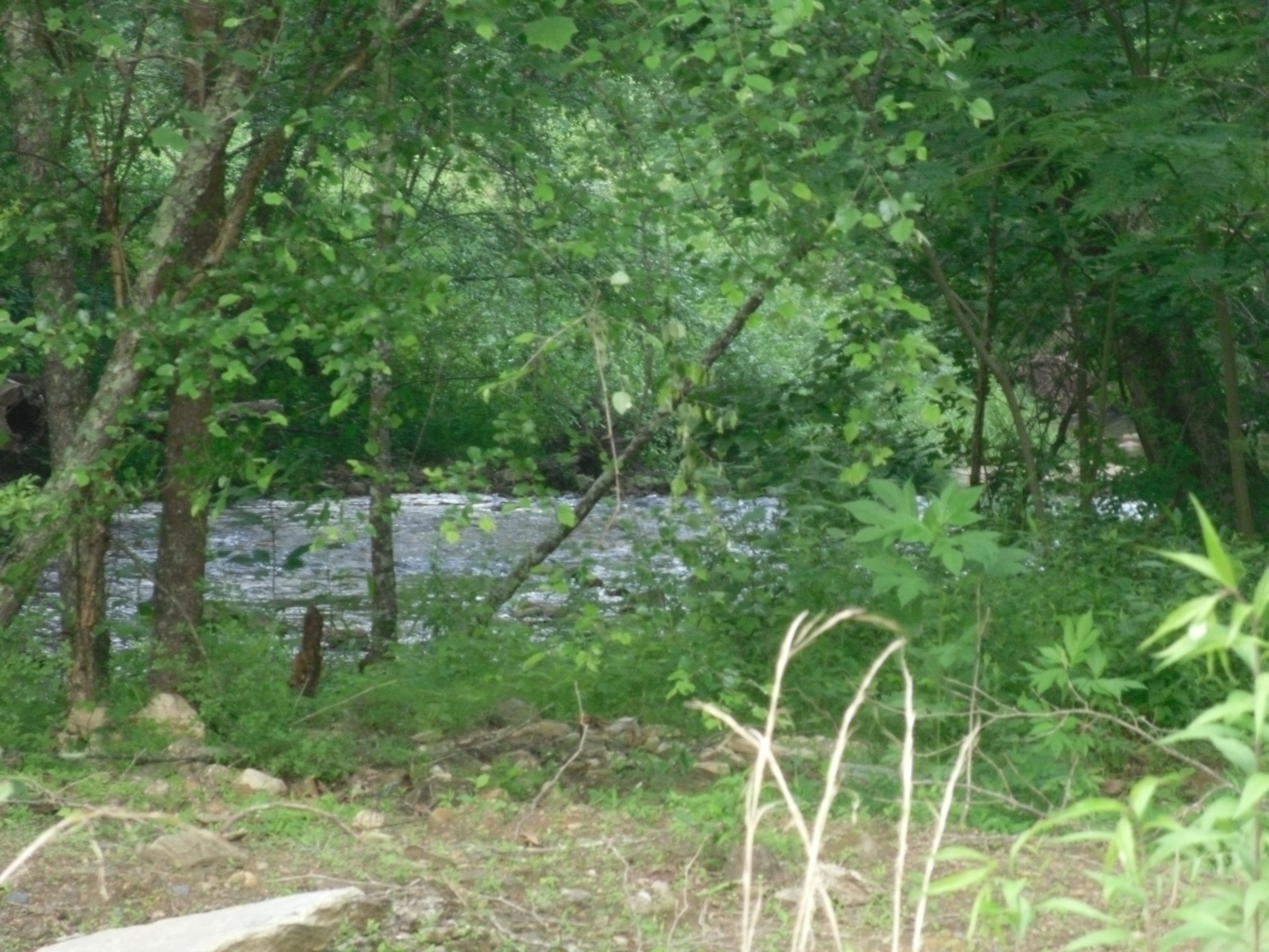
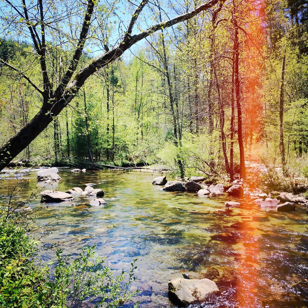
Wilson's Creek near Lenoir, NC
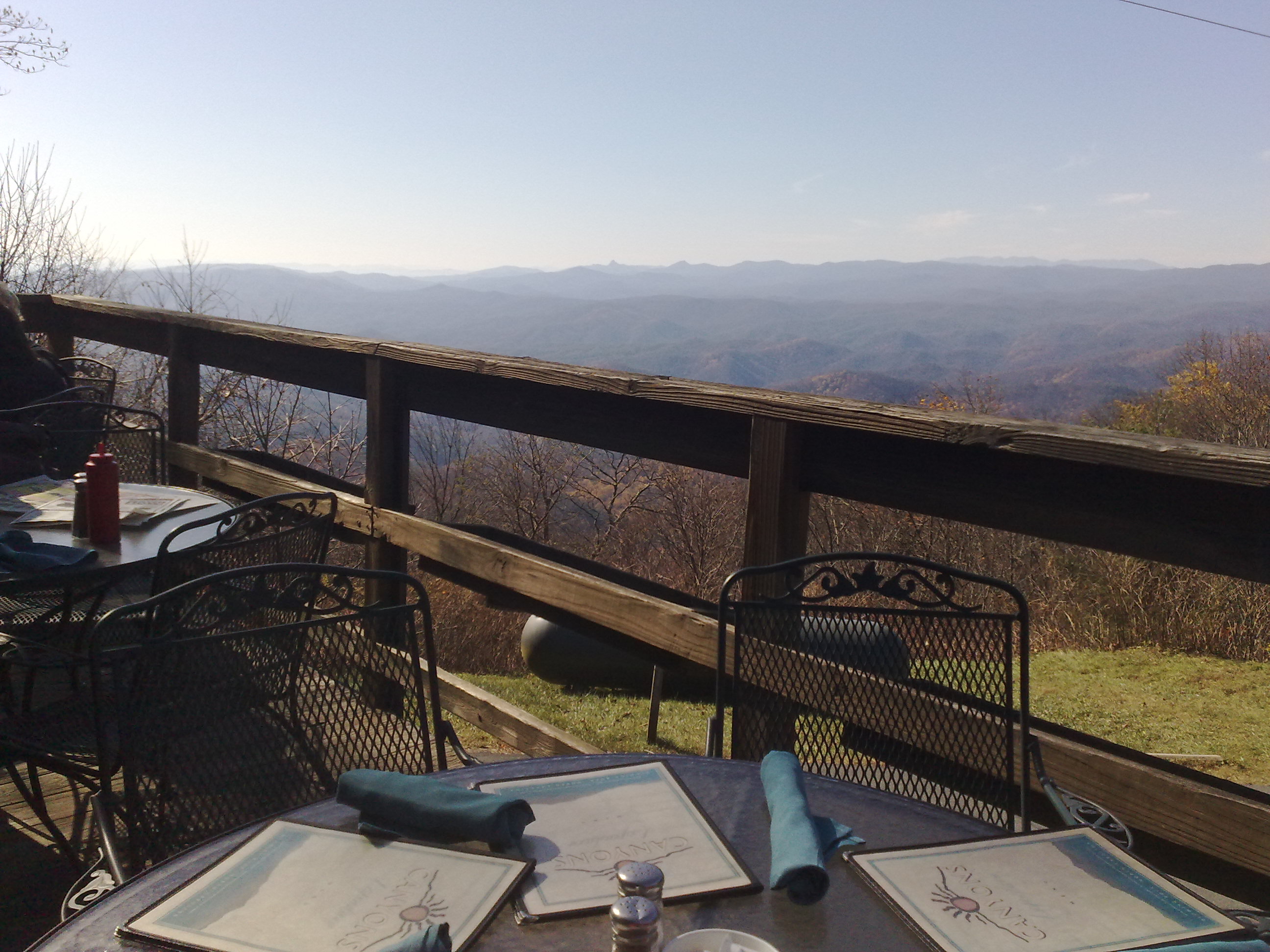
Canyons Restaurant
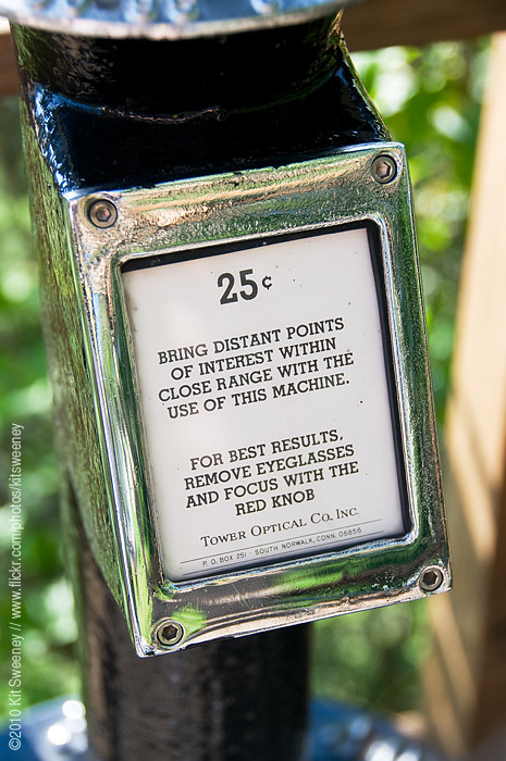
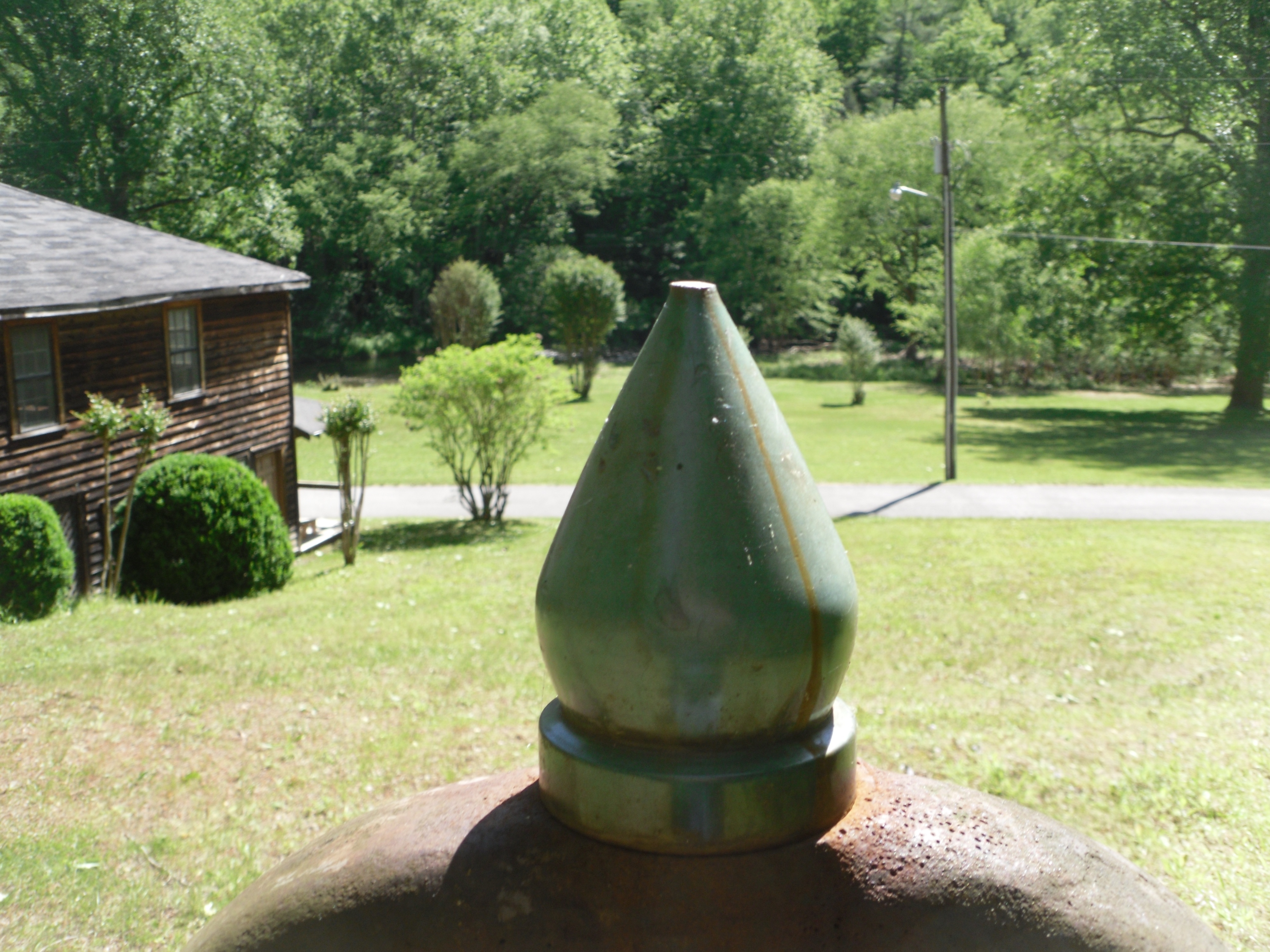
25¢
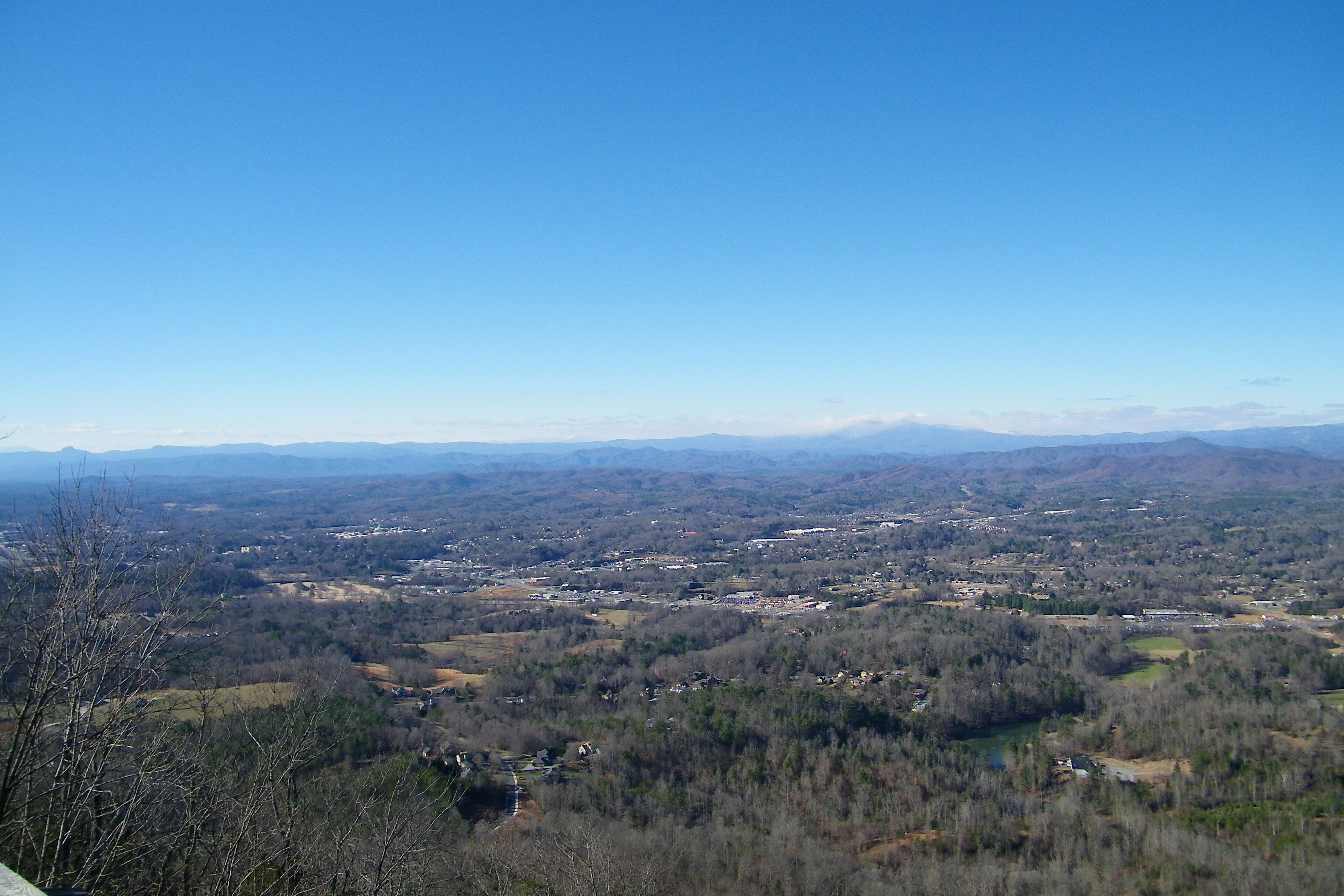
Hibriten Mountain
Bell view
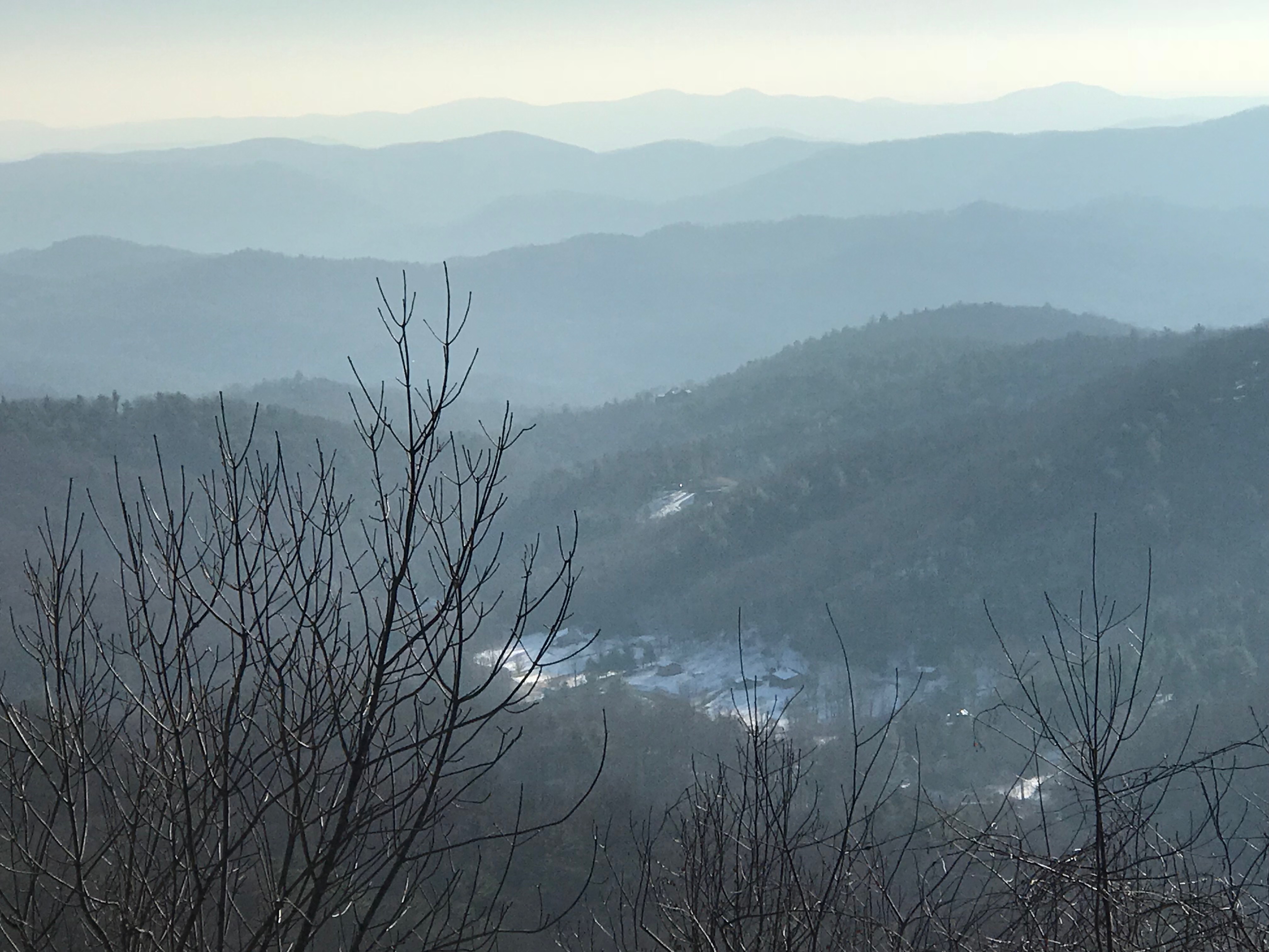
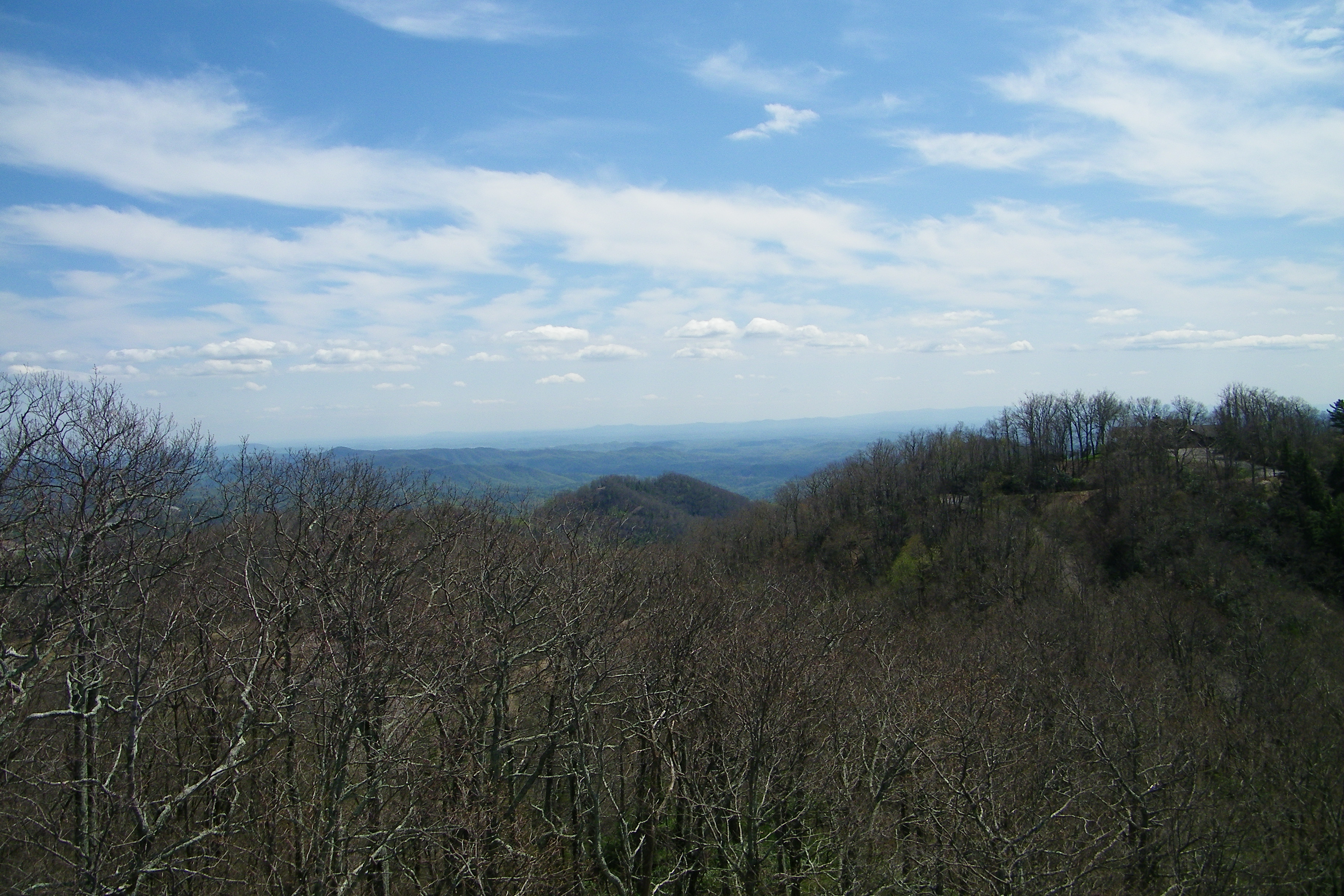
The Smokey Mountains

The Blowing Rock (47)
#4theloveofshugar

John's River Down Stream

Mountain Meadow

Rainy Day Wilson Creek
Gentle Flows
IMG_9962---Version-3

Bye bye Blue Ridge! Back to FL :(
The Blowing Rock (43)
The Blowing Rock (41)

Debris along the banks
The Blowing Rock (44)
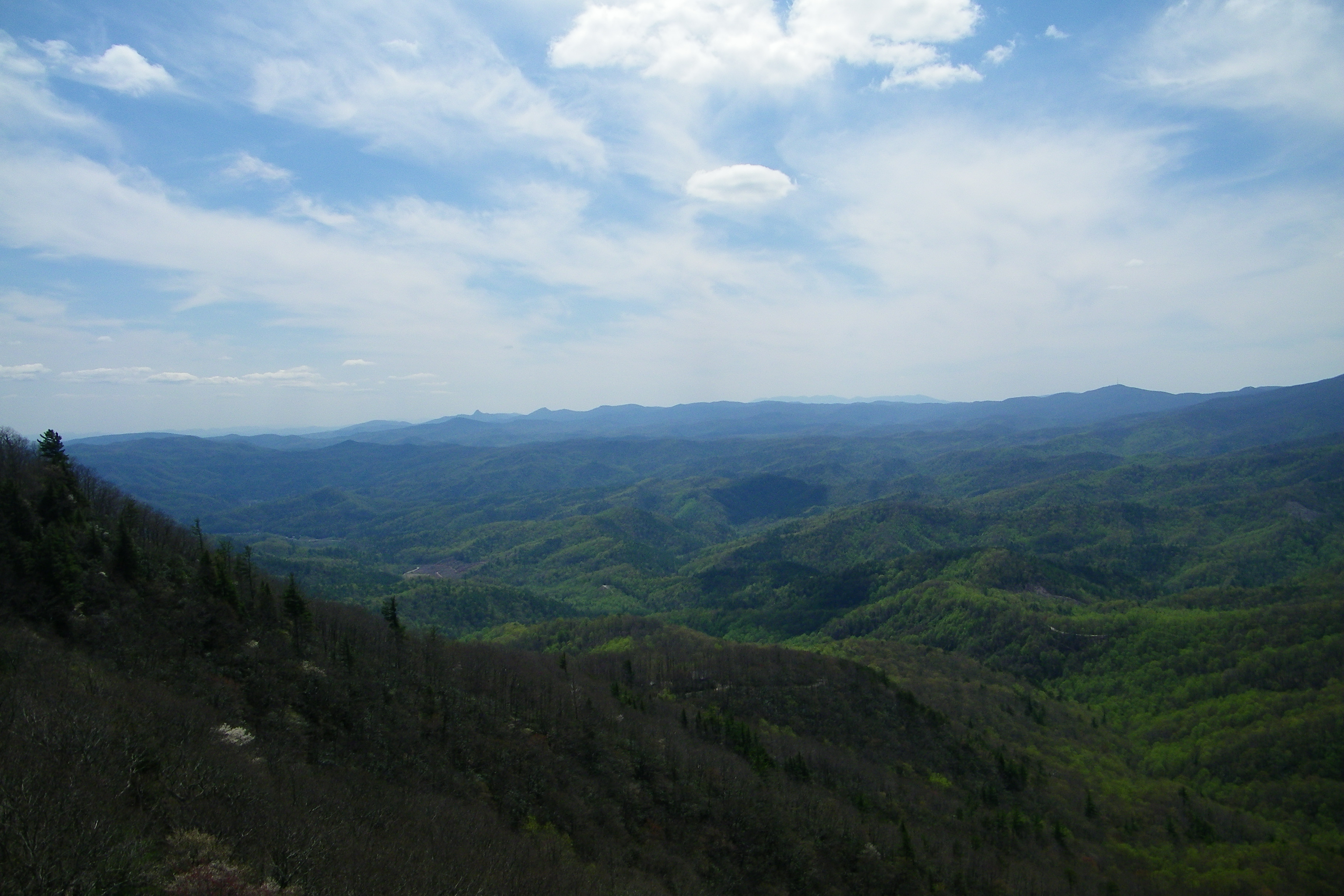
Green valley

North Carolina | Appalachia
Boone trip blowing rock evolve
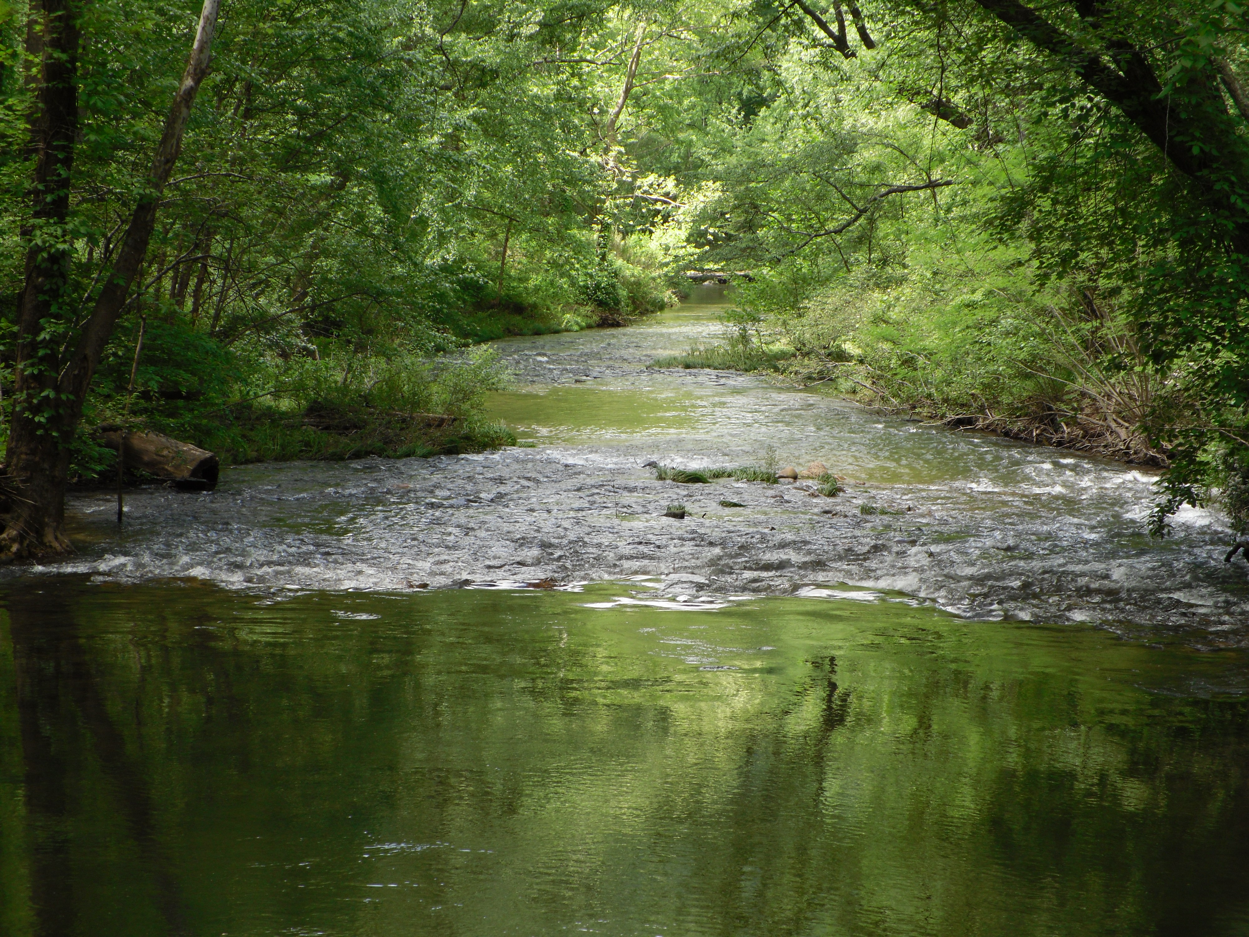
John's River Down Stream
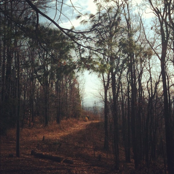
How great is this road? It's the road that leads to the house I'm staying in for Thanksgiving!!
Topographic Map of Austin Valley Dr, Lenoir, NC, USA
Find elevation by address:

Places near Austin Valley Dr, Lenoir, NC, USA:
3865 Austin Valley Dr
2387 Roby Martin Rd
3711 Sugar Maple Rd
2333 Mills Cove Pl
2099 Alberton Ln
Roby Martin Road
Patterson
Patterson Fire Department
Yadkin River Road
2398 Setzer Creek Rd
Olde Ridge Road
3739 Blowing Rock Blvd
2926 Georgie Ln
Mulberry
2020 Ada Williams Ln
3440 Collettsville Rd
3479 Leprechaun Ln
3479 Leprechaun Ln
3485 Collettsville Rd
3507 Mulberry Creek Rd
Recent Searches:
- Elevation of Côte-des-Neiges, Montreal, QC H4A 3J6, Canada
- Elevation of Bobcat Dr, Helena, MT, USA
- Elevation of Zu den Ihlowbergen, Althüttendorf, Germany
- Elevation of Badaber, Peshawar, Khyber Pakhtunkhwa, Pakistan
- Elevation of SE Heron Loop, Lincoln City, OR, USA
- Elevation of Slanický ostrov, 01 Námestovo, Slovakia
- Elevation of Spaceport America, Co Rd A, Truth or Consequences, NM, USA
- Elevation of Warwick, RI, USA
- Elevation of Fern Rd, Whitmore, CA, USA
- Elevation of 62 Abbey St, Marshfield, MA, USA