Elevation of Austin Ave, Wenatchee, WA, USA
Location: United States > Washington > Chelan County > Wenatchee >
Longitude: -120.36665
Latitude: 47.4251051
Elevation: 339m / 1112feet
Barometric Pressure: 97KPa
Elevation Map:
Satellite Map:
Related Photos:
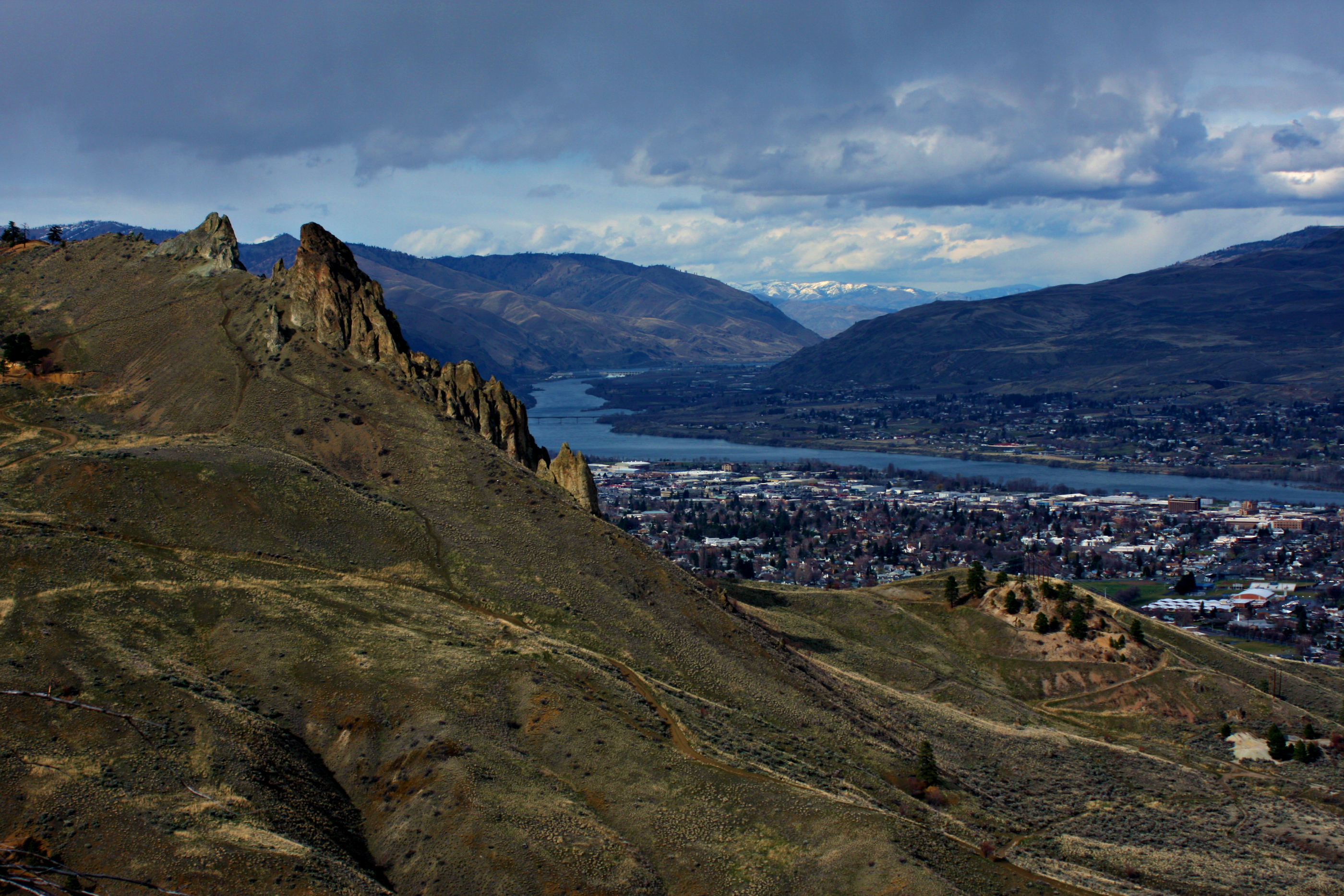
Overlooking Saddlerock
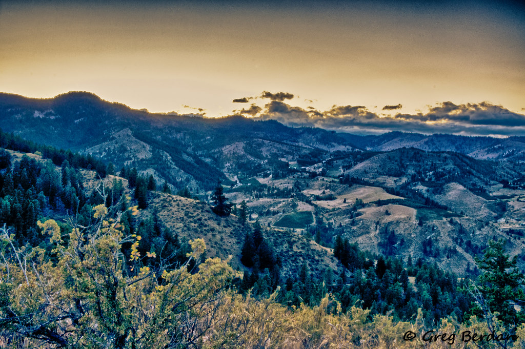
View of Halverson Canyon
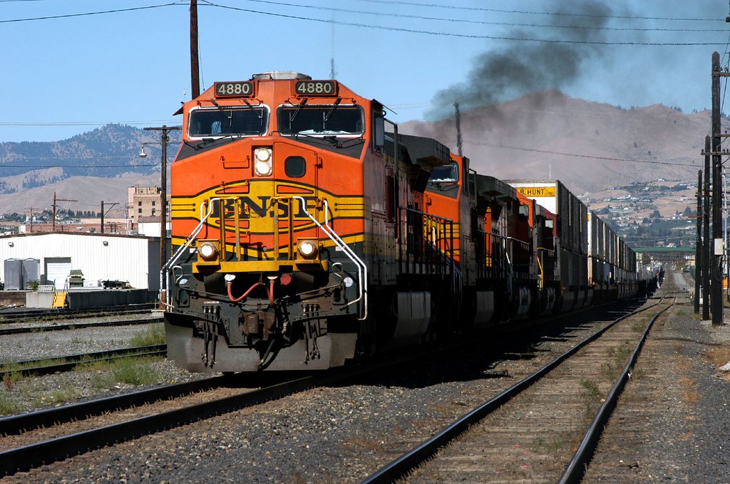
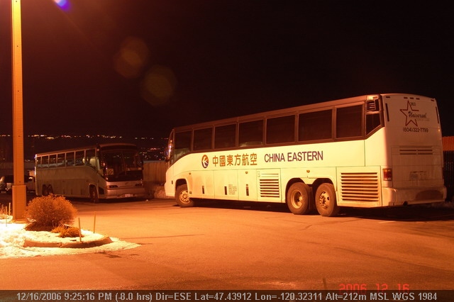
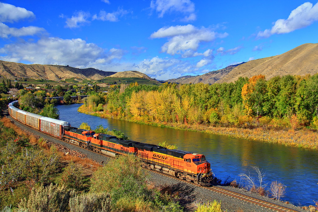
Eastbound at Wenatchee (1 of 3)
Breakfast view.
Spare a glance

Golden Eagle
LV0844DSC00226.JPG
LV0850DSC00232.JPG
LV0833DSC00215.JPG
LV0822DSC00204.JPG

LV0830DSC00212.JPG
LV0832DSC00214.JPG
LV0845DSC00227.JPG

LV0860DSC00242.JPG
LV0824DSC00206.JPG

LV0848DSC00230.JPG
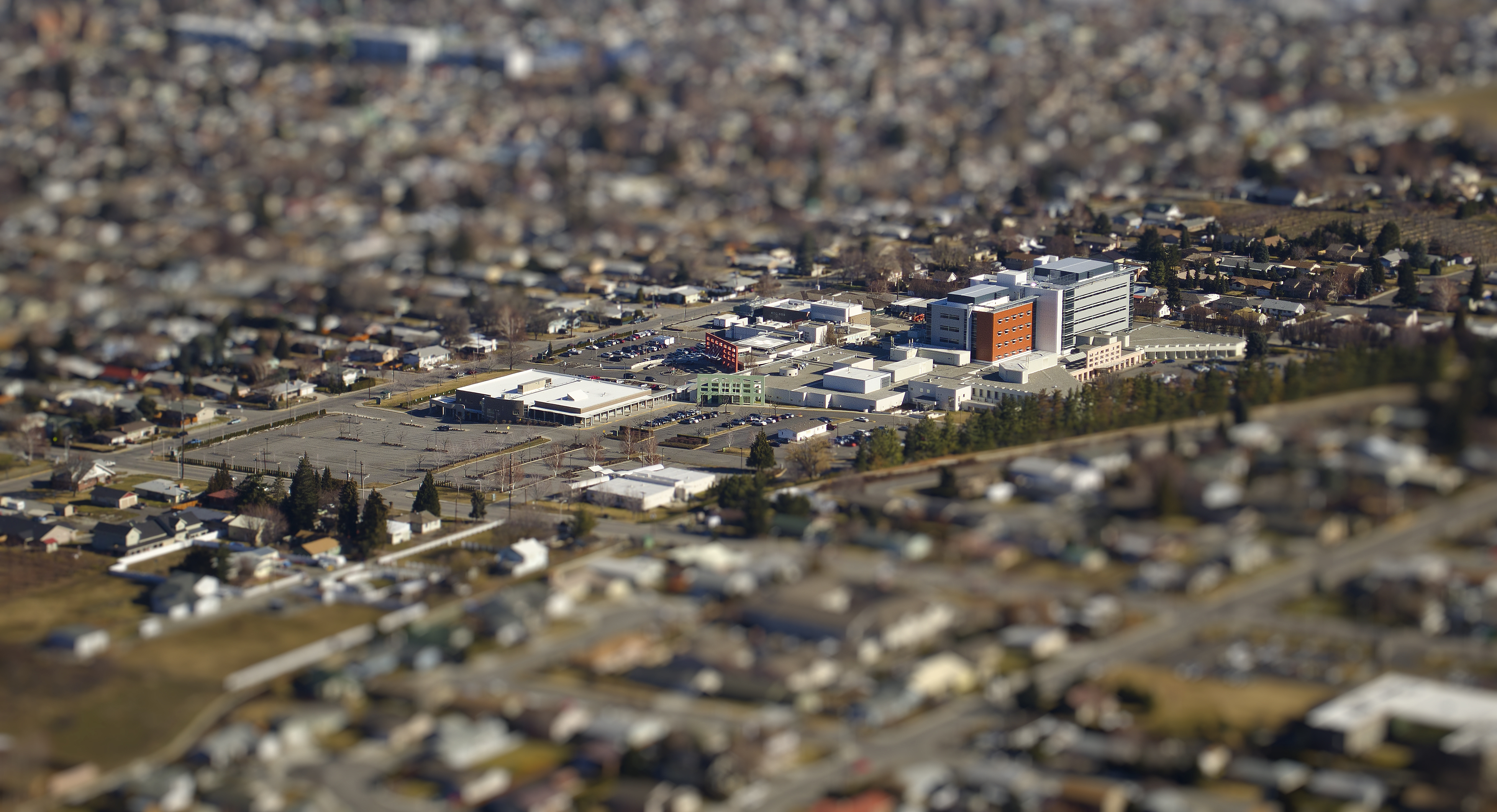
CWH tilt
Cashmere, WA
LV0820DSC00202.JPG
LV0815DSC00197.JPG
LV0755DSC00137.JPG
Wenatchee Valley View II
Put There By The Land
We Will Rise
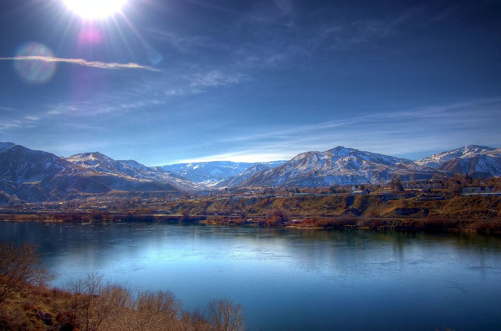
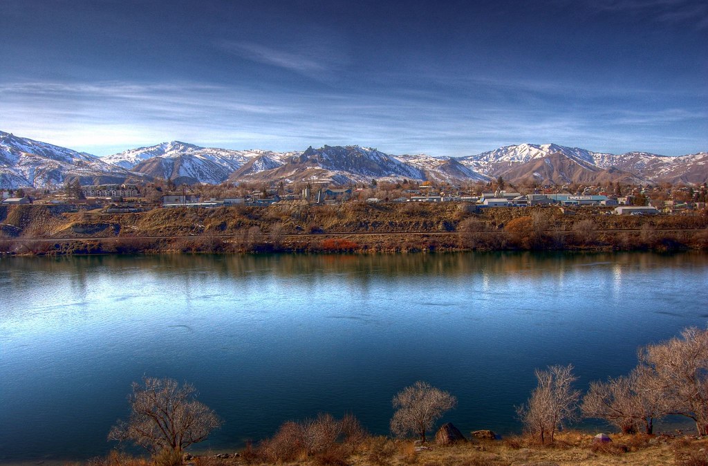
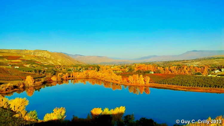
Wenatchee Valley View
Black Lake
Cruising down the Wenatchee Valley

Hiking toward Saddle Rock
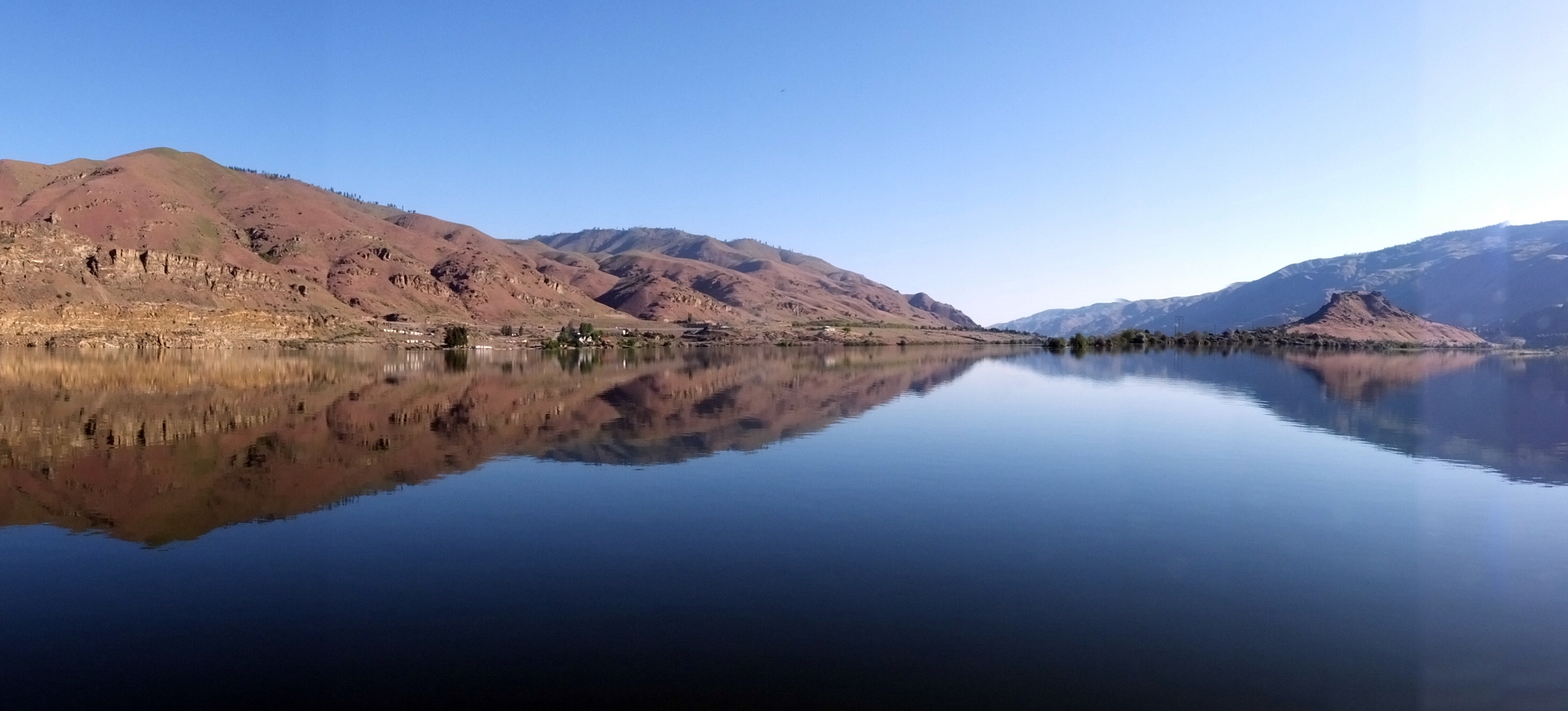
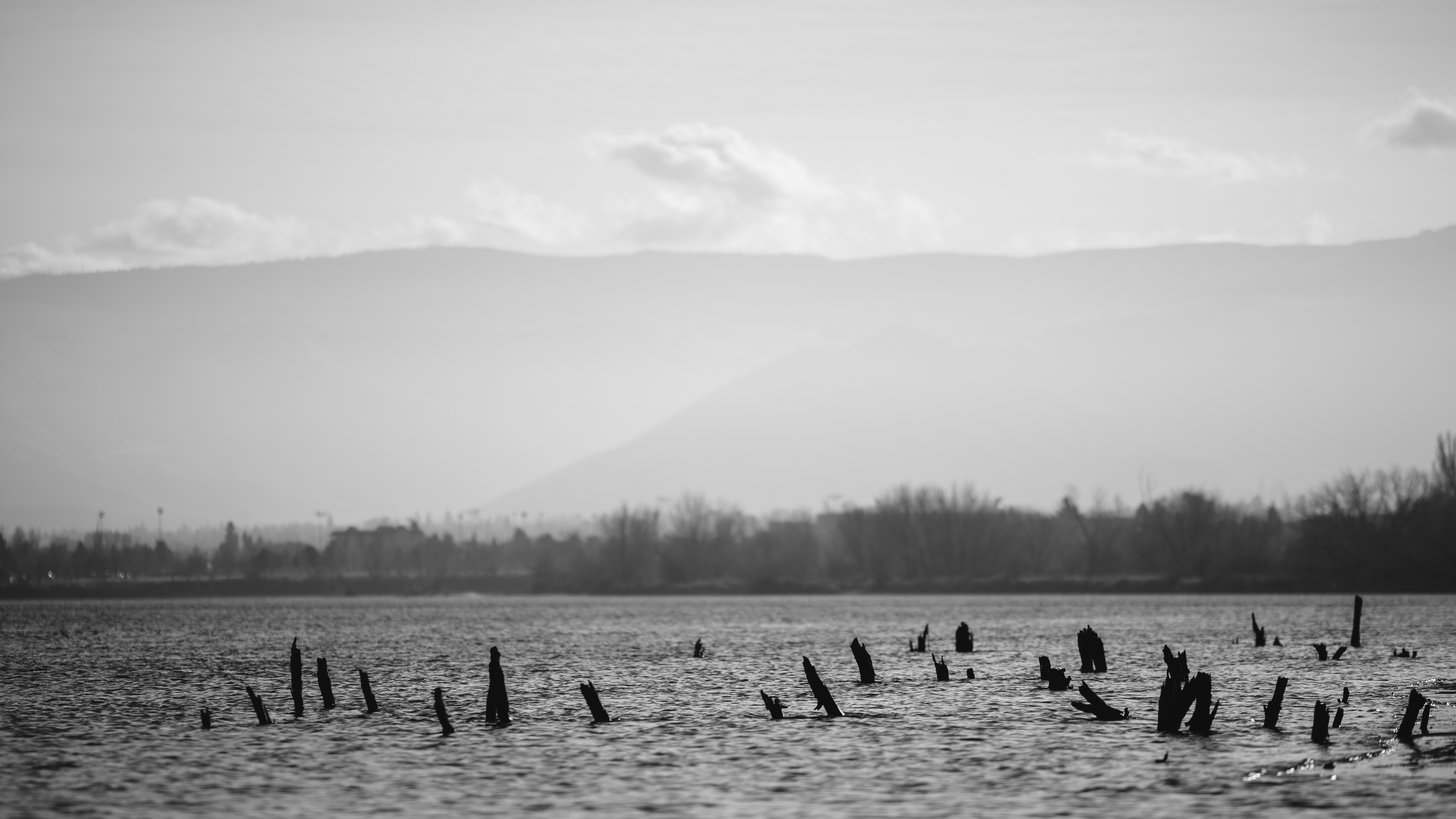
Columbia River Reflection
Tumbleweed Drive
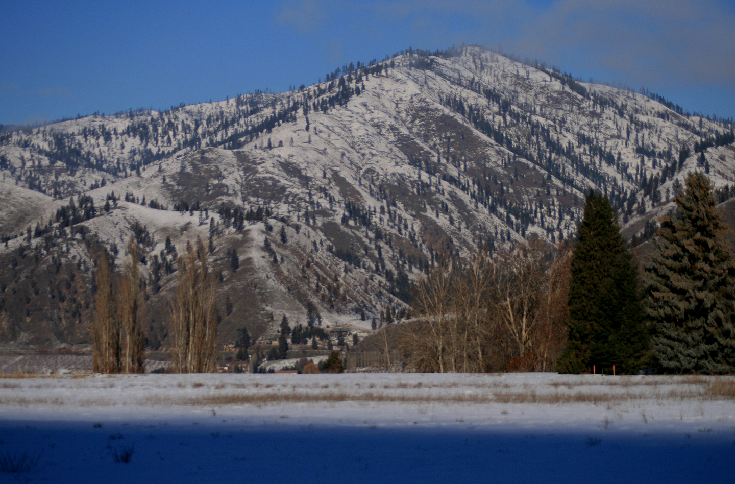
Sage Hills & Enchantment Peaks
Swakane Canyon from slope
A little bit of everything....
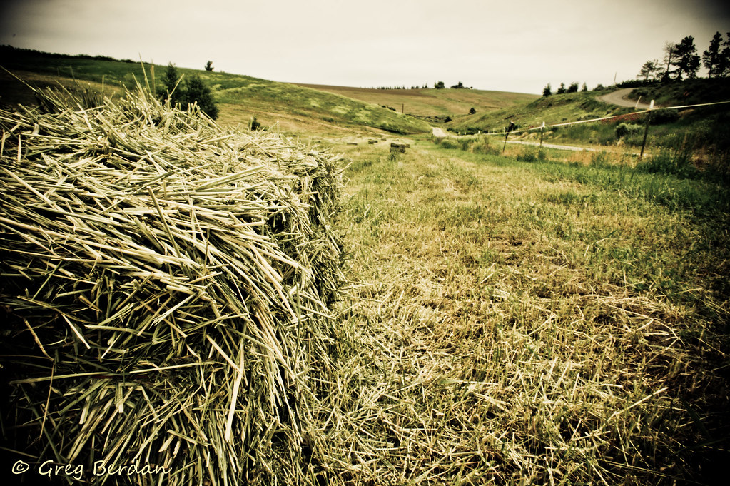
Between bales

Peeling on Texture
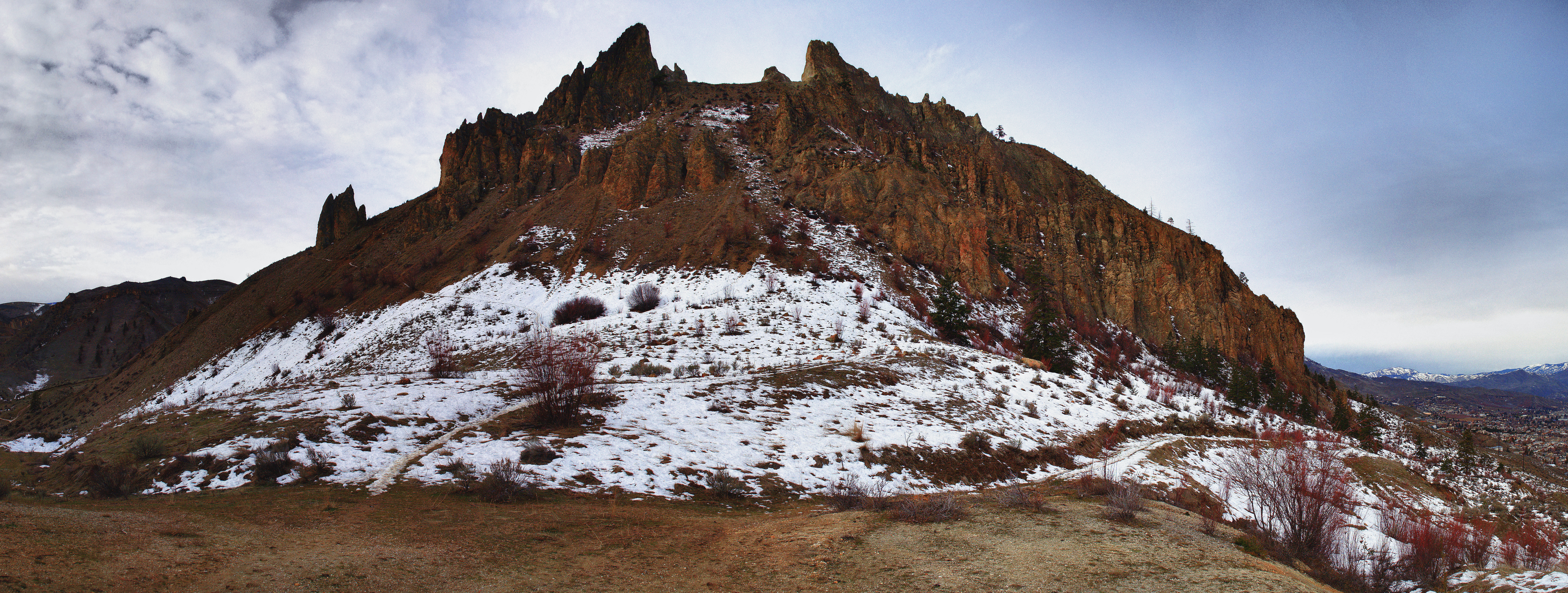
Saddle Rock head on
PIX-IMG_5375HDTV-Test-g
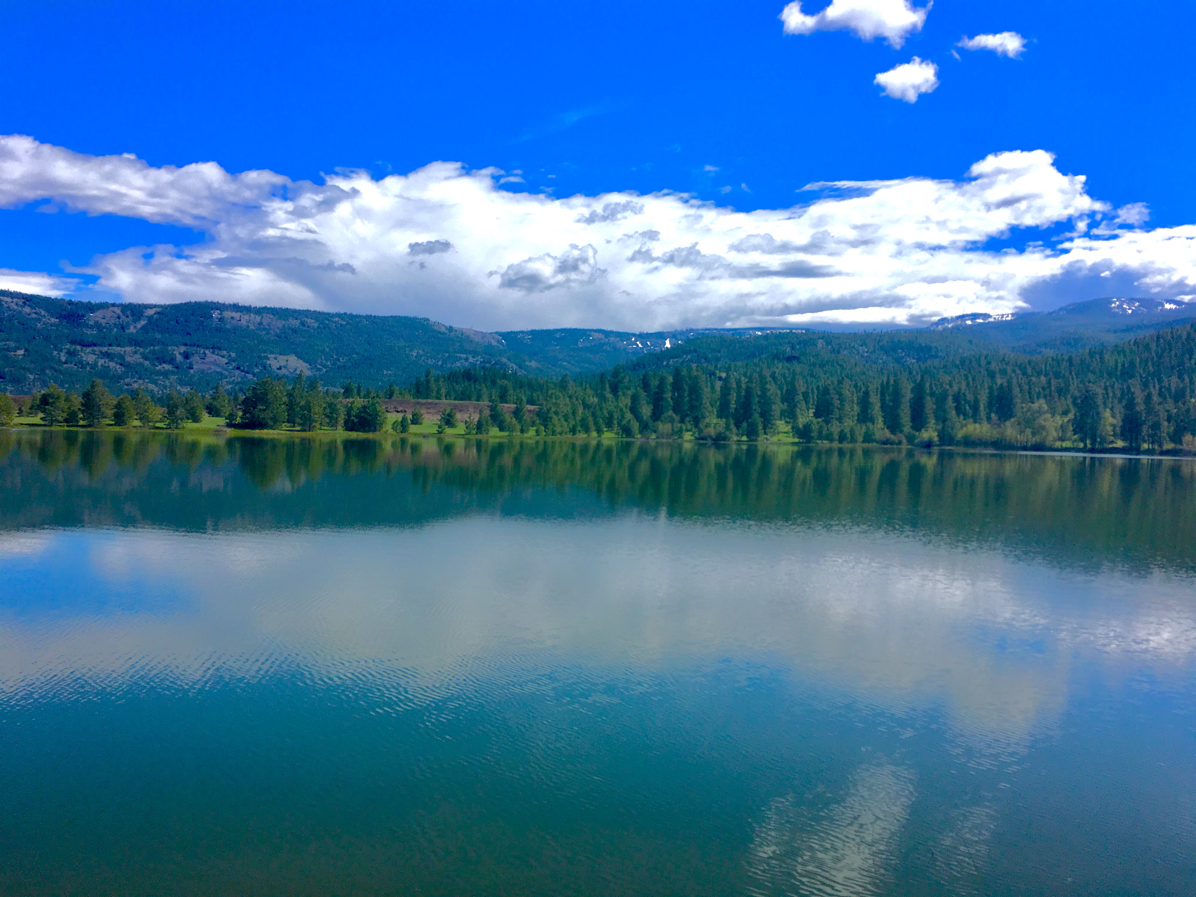
Meadow Lake
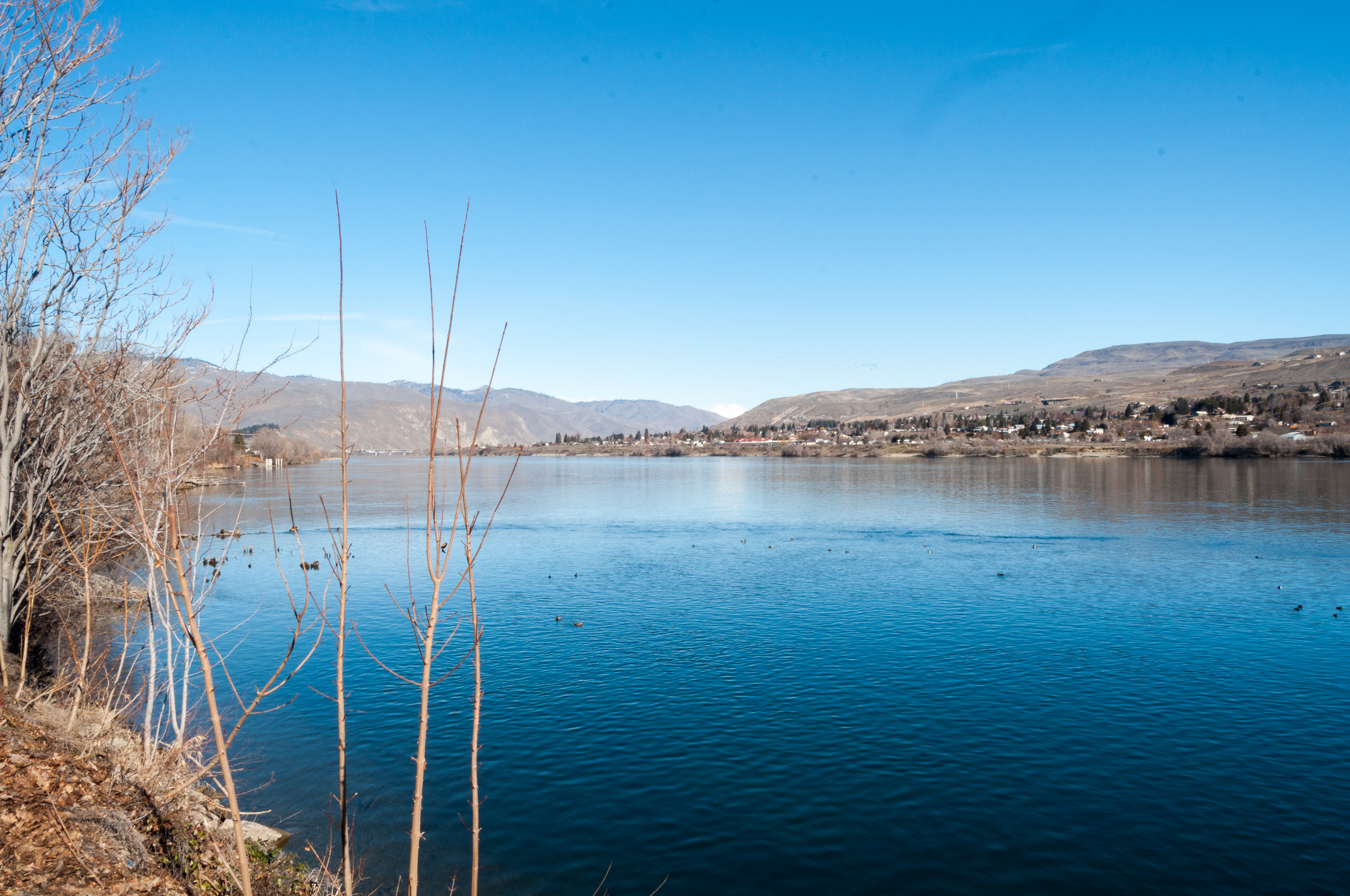
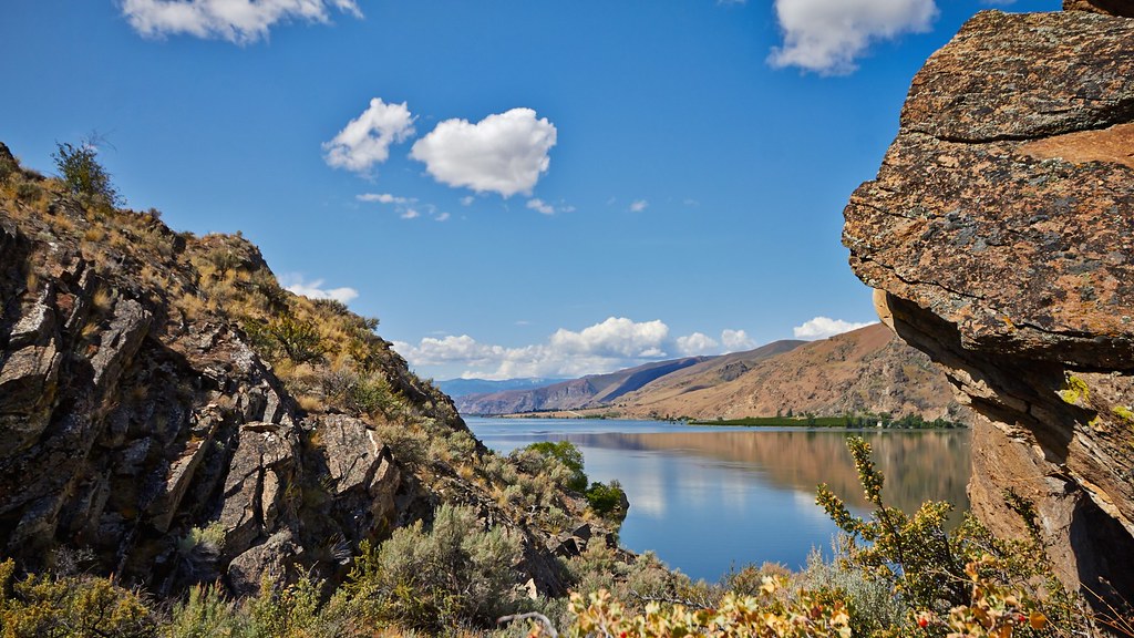
Columbia River
Photography lesson II

Pink Abstract 2
Topographic Map of Austin Ave, Wenatchee, WA, USA
Find elevation by address:

Places near Austin Ave, Wenatchee, WA, USA:
500 Austin Ave
Number 2 Canyon Road
Number 2 Canyon Road
1912 Grandview Loop
1844 Mckittrick St
Castlerock Avenue
1620 Mckittrick St
1300 Fifth St
340 Pear Ln
1392 Brown St
1217 Red Apple Rd
1226 Red Apple Rd
1018 Cherry St
1101 Millerdale Ave
North Garfield Avenue
Saddle Rock Trailhead
2061 Stiss Canyon Rd
2062 Stiss Canyon Rd
Stiss Canyon Road
East 5th Street
Recent Searches:
- Elevation of Elwyn Dr, Roanoke Rapids, NC, USA
- Elevation of Congressional Dr, Stevensville, MD, USA
- Elevation of Bellview Rd, McLean, VA, USA
- Elevation of Stage Island Rd, Chatham, MA, USA
- Elevation of Shibuya Scramble Crossing, 21 Udagawacho, Shibuya City, Tokyo -, Japan
- Elevation of Jadagoniai, Kaunas District Municipality, Lithuania
- Elevation of Pagonija rock, Kranto 7-oji g. 8"N, Kaunas, Lithuania
- Elevation of Co Rd 87, Jamestown, CO, USA
- Elevation of Tenjo, Cundinamarca, Colombia
- Elevation of Côte-des-Neiges, Montreal, QC H4A 3J6, Canada