Elevation map of Aurukun QLD, Australia
Location: Australia > Queensland >
Longitude: 141.728066
Latitude: -13.357266
Elevation: 13m / 43feet
Barometric Pressure: 101KPa
Elevation Map:
Satellite Map:
Related Photos:
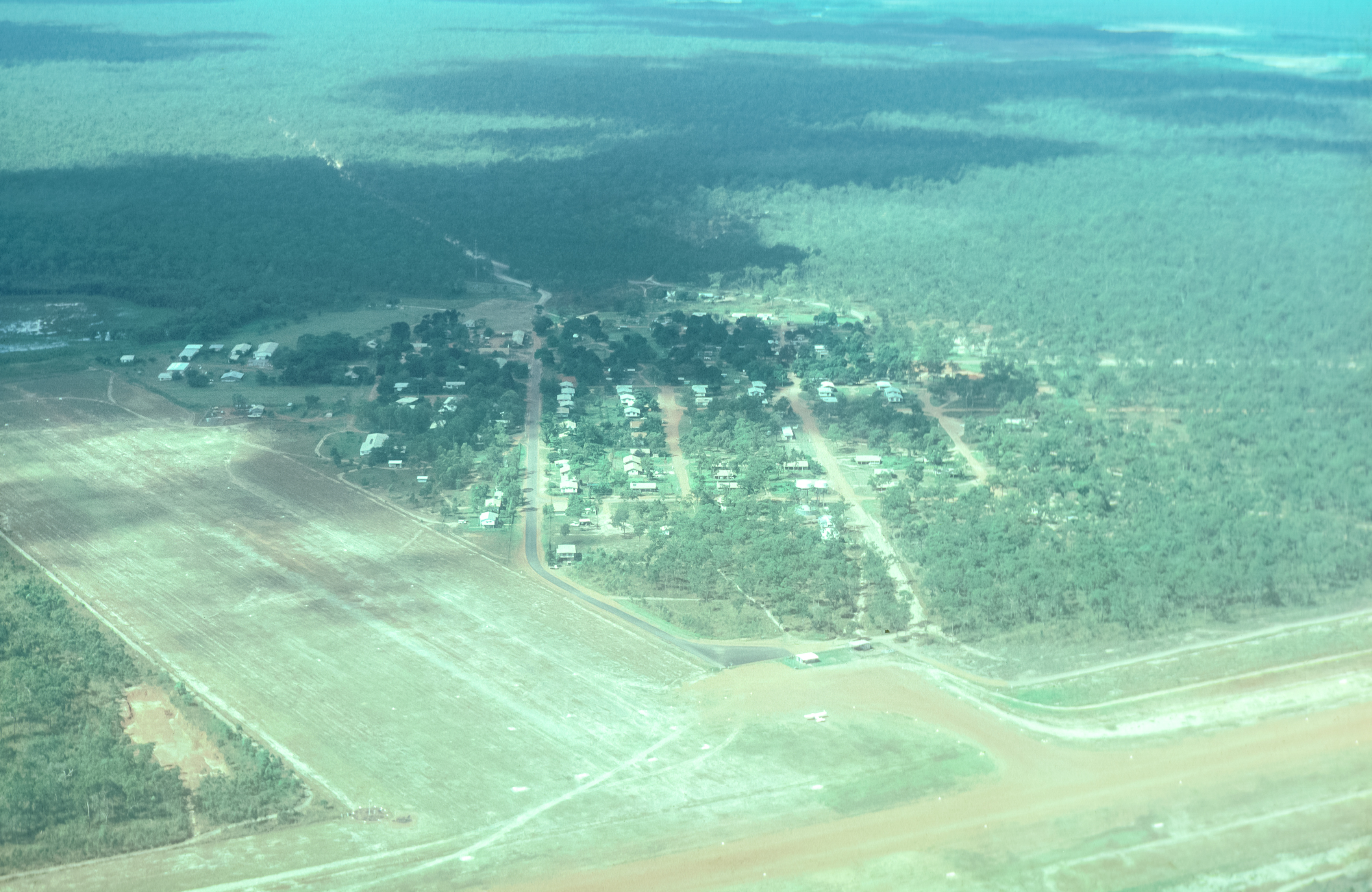
Overflying Aukukun
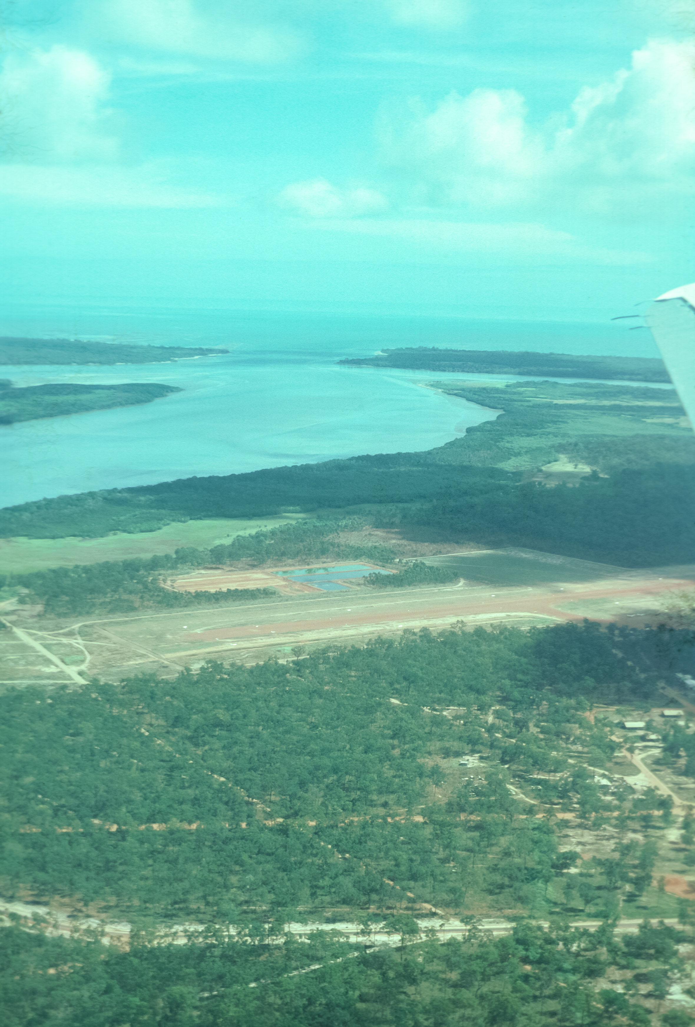
Arukun Airstrip and Archer River
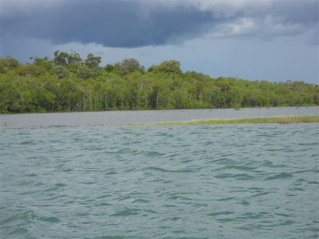
Mouth of the harbour at Aurukun
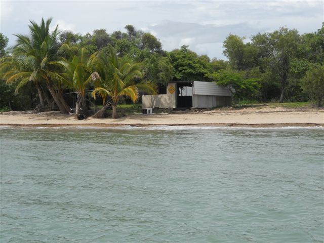
Mouth of the harbour at Aurukun
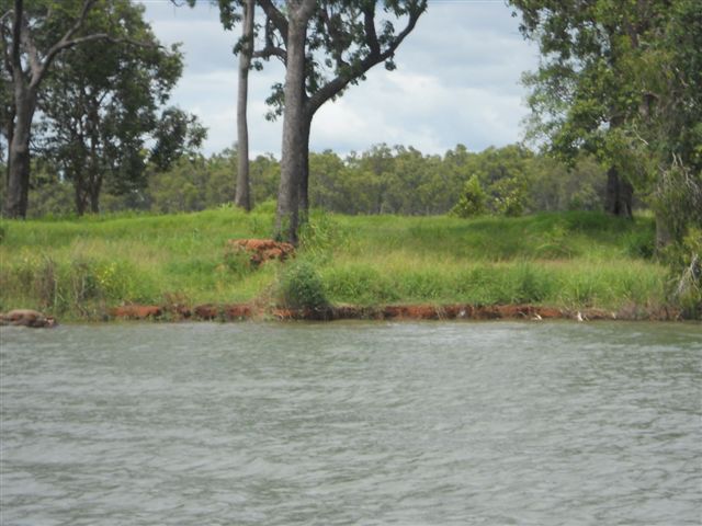
Mouth of the harbour at Aurukun

Mouth of the harbour at Aurukun
Topographic Map of Aurukun QLD, Australia
Find elevation by address:

Recent Searches:
- Elevation of Scenic Shore Dr, Kingwood Area, TX, USA
- Elevation of W Prive Cir, Delray Beach, FL, USA
- Elevation of S Layton Cir W, Layton, UT, USA
- Elevation of F36W+3M, Mussoorie, Uttarakhand, India
- Elevation of Fairland Ave, Fairhope, AL, USA
- Elevation of Sunset Dr, Richmond, VA, USA
- Elevation of Grodna District, Hrodna Region, Belarus
- Elevation of Hrodna, Hrodna Region, Belarus
- Elevation of Sandia Derby Estates, Tijeras, NM, USA
- Elevation of 23 Sunrise View Ct, Tijeras, NM, USA