Elevation of Attock, Punjab, Pakistan
Location: Pakistan > Punjab > Attock District >
Longitude: 72.3784679
Latitude: 33.7120726
Elevation: 339m / 1112feet
Barometric Pressure: 97KPa
Elevation Map:
Satellite Map:
Related Photos:

Precious GOLD [Explored]

Slate [Explored]

The Village Pond
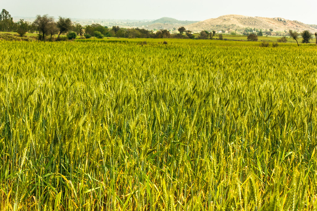
A wheat landscape

Into the fields

Forecast: Carry your rain coat :)

Harvesting time

Lined UP!

The place of silent moment I love tourism
Topographic Map of Attock, Punjab, Pakistan
Find elevation by address:

Places in Attock, Punjab, Pakistan:
Places near Attock, Punjab, Pakistan:
Akhori
Thatta
Govt School
Domel
Attock District
Chhachh Dam
Dhok Ghulam Ali
Parshai
Kashmir Highway
Peshawar Road
Sachal Sarmast Road
G 11 Markaz
G-11 Markaz
Rawalpindi
F-8
Islamabad Capital Territory
Rawalpindi
E-7
National University Of Medical Sciences (nums)
Daman-e-koh
Recent Searches:
- Elevation of Leguwa, Nepal
- Elevation of County Rd, Enterprise, AL, USA
- Elevation of Kolchuginsky District, Vladimir Oblast, Russia
- Elevation of Shustino, Vladimir Oblast, Russia
- Elevation of Lampiasi St, Sarasota, FL, USA
- Elevation of Elwyn Dr, Roanoke Rapids, NC, USA
- Elevation of Congressional Dr, Stevensville, MD, USA
- Elevation of Bellview Rd, McLean, VA, USA
- Elevation of Stage Island Rd, Chatham, MA, USA
- Elevation of Shibuya Scramble Crossing, 21 Udagawacho, Shibuya City, Tokyo -, Japan