Elevation of Atkinson County, GA, USA
Location: United States > Georgia >
Longitude: -82.864062
Latitude: 31.2932161
Elevation: 62m / 203feet
Barometric Pressure: 101KPa
Elevation Map:
Satellite Map:
Related Photos:

Another view of "Gatorfoot's" House

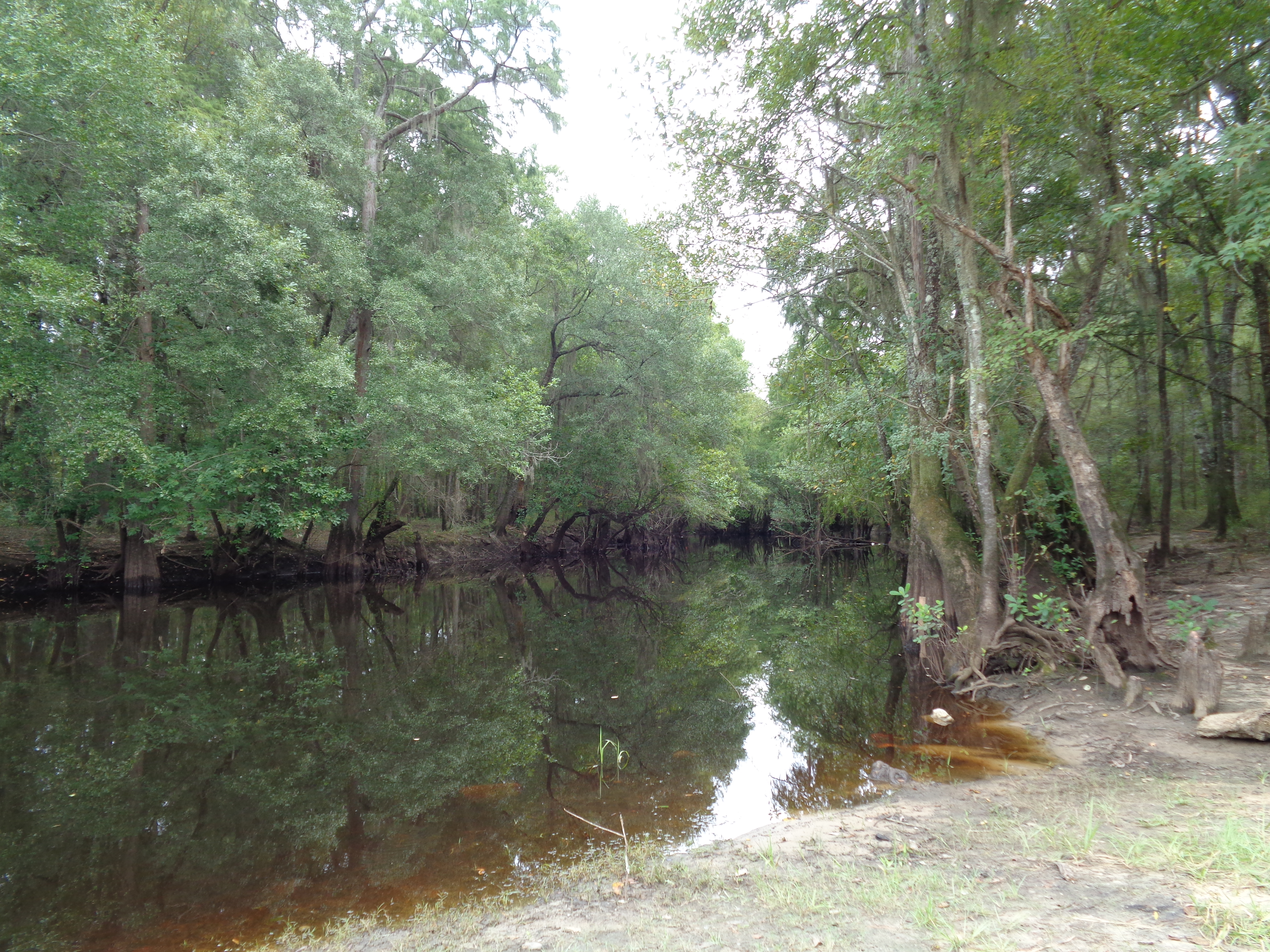
Okefenokee Swamp Trip

Okefenokee Swamp Trip
Okefenokee Swamp Trip

Okefenokee Swamp Trip

Okefenokee Swamp Trip

Okefenokee Swamp Trip

Okefenokee Swamp Trip

Okefenokee Swamp Trip

Okefenokee Swamp Trip
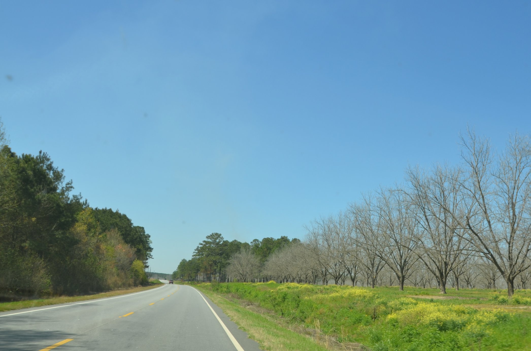
Satilla River near GA64 bridge
Topographic Map of Atkinson County, GA, USA
Find elevation by address:

Places in Atkinson County, GA, USA:
Places near Atkinson County, GA, USA:
Pearson
US-82, Pearson, GA, USA
1057 Ramblewood Rd
Willacoochee Hwy, Douglas, GA, USA
Island Dr, Douglas, GA, USA
Sioux Trail
Burton Road
Douglas
Co Rd, Homerville, GA, USA
Coffee County
726 Forest Cir
157 Quail Hollow Rd
Frank Vaughn Road
46 John Coffee Rd
46 John Coffee Rd
GA- Connector, Douglas, GA, USA
General Coffee State Park
Chatterton Ch Rd, Nicholls, GA, USA
74 June St
336 Phelps Rd
Recent Searches:
- Elevation of Kambingan Sa Pansol Atbp., Purok 7 Pansol, Candaba, Pampanga, Philippines
- Elevation of Pinewood Dr, New Bern, NC, USA
- Elevation of Mountain View, CA, USA
- Elevation of Foligno, Province of Perugia, Italy
- Elevation of Blauwestad, Netherlands
- Elevation of Bella Terra Blvd, Estero, FL, USA
- Elevation of Estates Loop, Priest River, ID, USA
- Elevation of Woodland Oak Pl, Thousand Oaks, CA, USA
- Elevation of Brownsdale Rd, Renfrew, PA, USA
- Elevation of Corcoran Ln, Suffolk, VA, USA