Elevation of Atascosa County, TX, USA
Location: United States > Texas >
Longitude: -98.572101
Latitude: 28.8661281
Elevation: 134m / 440feet
Barometric Pressure: 100KPa
Elevation Map:
Satellite Map:
Related Photos:
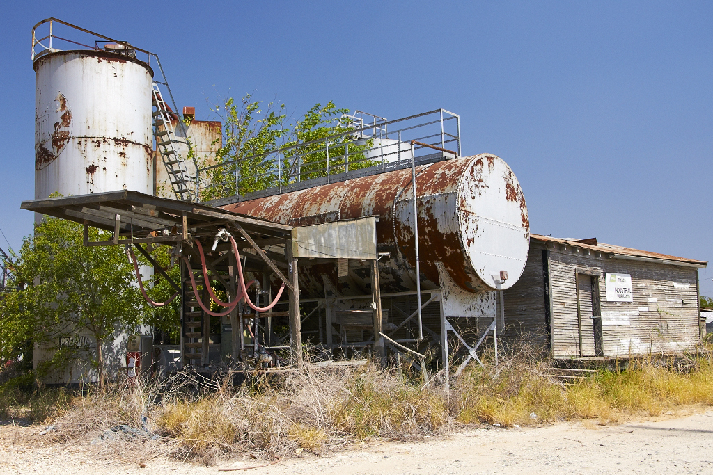
Fuel Depot
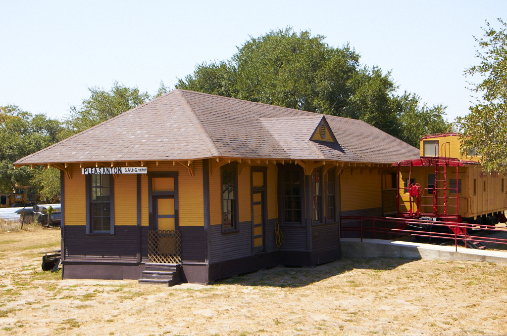
Train Depot

Sunset on Mydeana lake

Mydeana Lake

Atascosa River
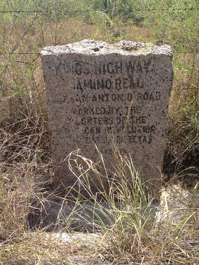
King's Highway

Dove Pond

EZ PZ
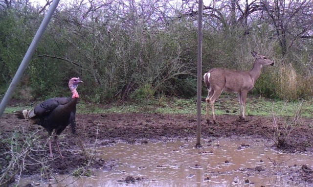
Get along

Squirrel beard???

Roberto Gato

: What...

Well I like this, even if no one else looks at it.

Filterstorm-Photo.jpg

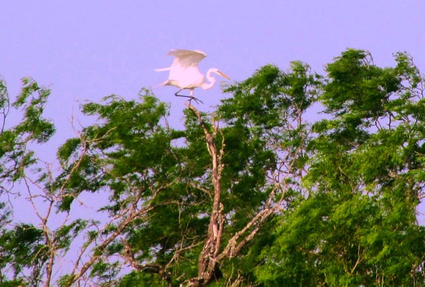
Falcon or hawk?

More snake video
Karati kick

Luna's, good side...

Luna, relaxing on the patio couch, watching College Game Day!

Big rainfall damage...

Big rainfall damage...

Christmas Humor!

Interstate 37 Between San Antonio and Corpus Christi, Texas
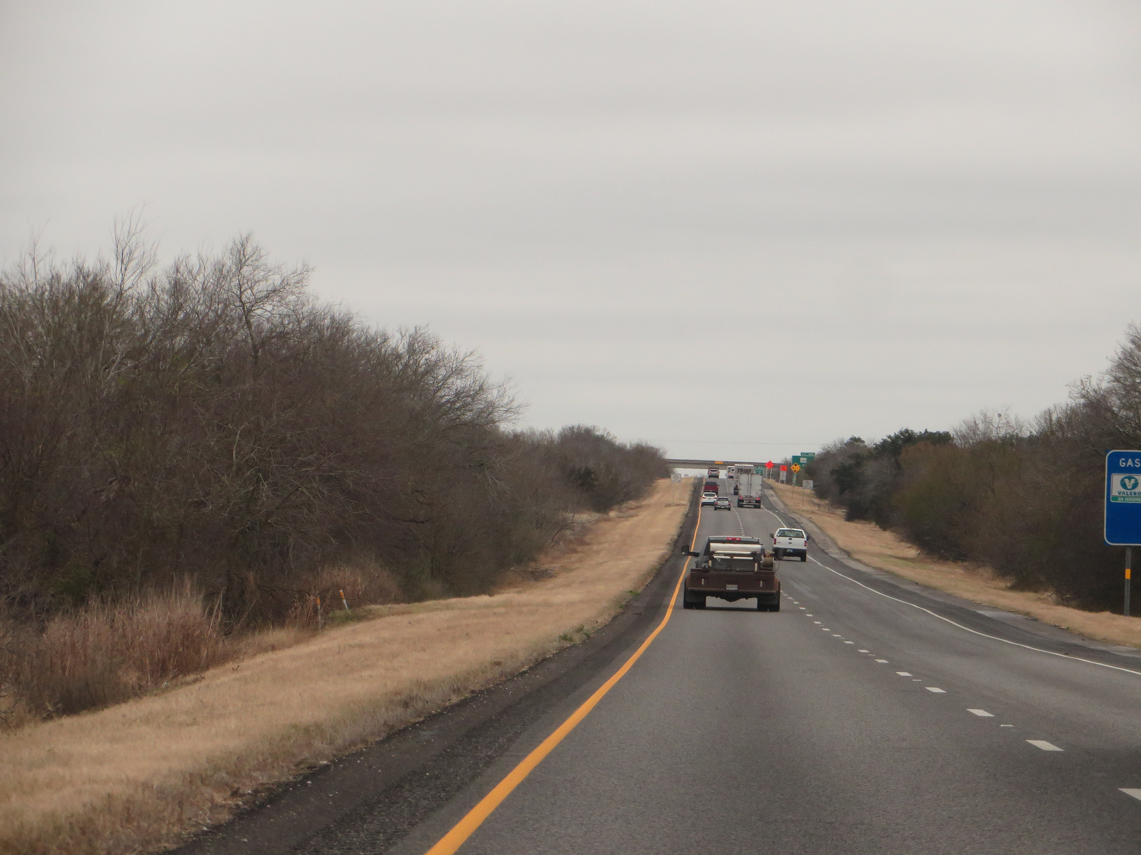
Interstate 37 Between San Antonio and Corpus Christi, Texas
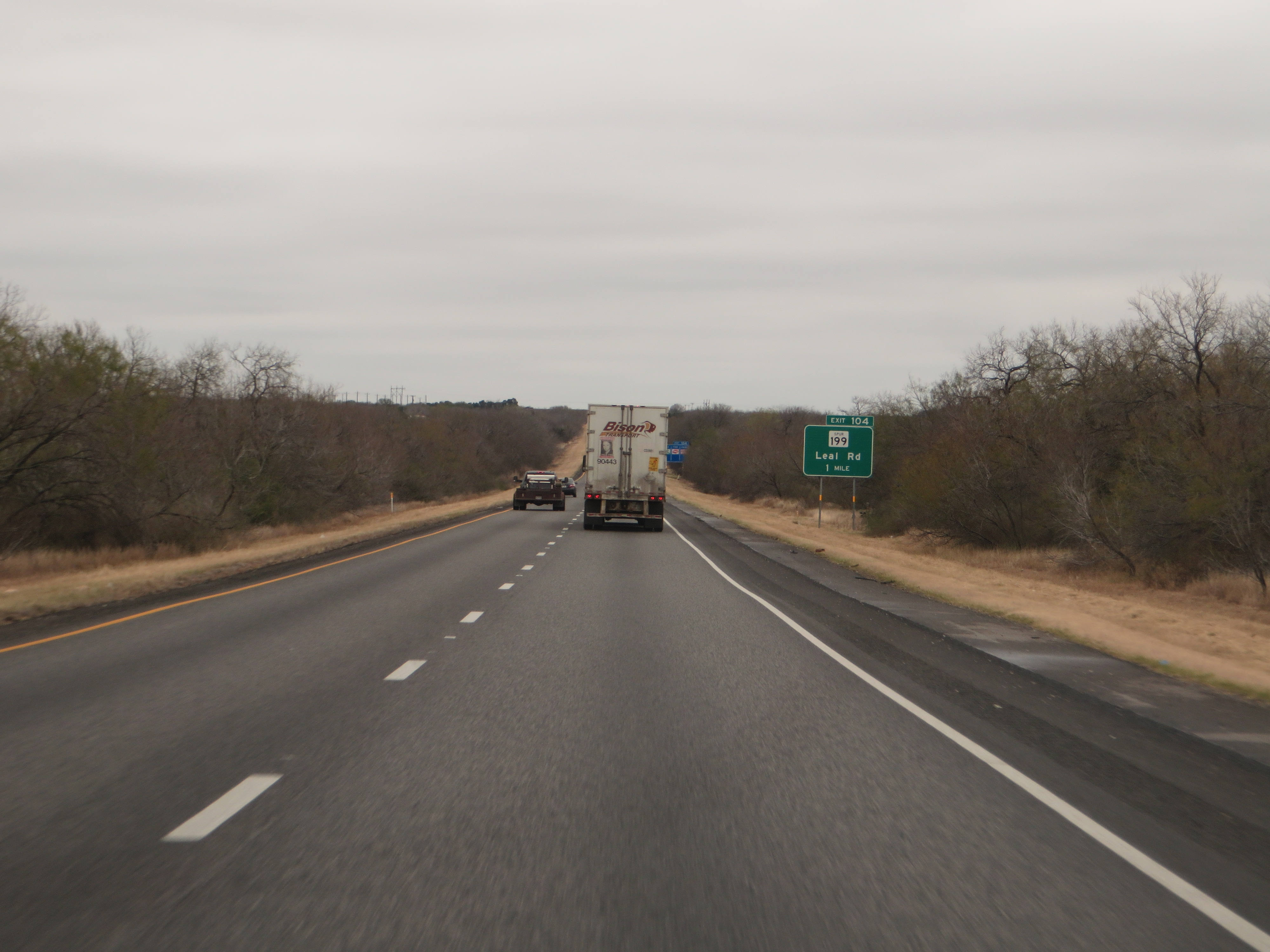
Interstate 37 Between San Antonio and Corpus Christi, Texas

Interstate 37 Between San Antonio and Corpus Christi, Texas
Topographic Map of Atascosa County, TX, USA
Find elevation by address:

Places in Atascosa County, TX, USA:
Lytle
Charlotte
Campbellton
FM, Pleasanton, TX, USA
Old, Pleasanton, TX, USA
Zanderson Ave, Jourdanton, TX, USA
FM, Jourdanton, TX, USA
Brown Rd, Poteet, TX, USA
FM, Jourdanton, TX, USA
US-, Pleasanton, TX, USA
Jim Brite Rd, Pleasanton, TX, USA
Jourdanton
Pleasanton
Poteet
Leming
Places near Atascosa County, TX, USA:
FM, Jourdanton, TX, USA
Zanderson Ave, Jourdanton, TX, USA
Jourdanton
16 I Ave, Pleasanton, TX, USA
1507 Kimberly Cir
30 Edwards Ave, Charlotte, TX, USA
Charlotte
Pleasanton
FM, Jourdanton, TX, USA
Poteet
6030 Fm1470
Old, Pleasanton, TX, USA
Leming
Brown Rd, Poteet, TX, USA
US-, Pleasanton, TX, USA
River St, Jourdanton, TX, USA
Savannah Woods
Bigfoot
FM, Bigfoot, TX, USA
Pr 2881
Recent Searches:
- Elevation of Kreuzburger Weg 13, Düsseldorf, Germany
- Elevation of Gateway Blvd SE, Canton, OH, USA
- Elevation of East W.T. Harris Boulevard, E W.T. Harris Blvd, Charlotte, NC, USA
- Elevation of West Sugar Creek, Charlotte, NC, USA
- Elevation of Wayland, NY, USA
- Elevation of Steadfast Ct, Daphne, AL, USA
- Elevation of Lagasgasan, X+CQH, Tiaong, Quezon, Philippines
- Elevation of Rojo Ct, Atascadero, CA, USA
- Elevation of Flagstaff Drive, Flagstaff Dr, North Carolina, USA
- Elevation of Avery Ln, Lakeland, FL, USA