Elevation of Asphodel Dr, Luling, LA, USA

Location: United States > Louisiana > St. Charles Parish > > Luling >

Longitude: -90.345182

Latitude: 29.8979512

Elevation: 1m / 3feet

Barometric Pressure: 101KPa

Elevation Map:

elevation map of Asphodel Dr, Luling, LA, USA

Satellite Map:

Satellite map of Asphodel Dr, Luling, LA, USA

Related Photos:

zeesstof aerial aerialview viewfromwindow windowseat flight commercialflight united unitedairlines mobilealabama altohoustontx airport louisarmstronginternationalairport neworleans louisiana river mississippiriver kenner unitedstates usa
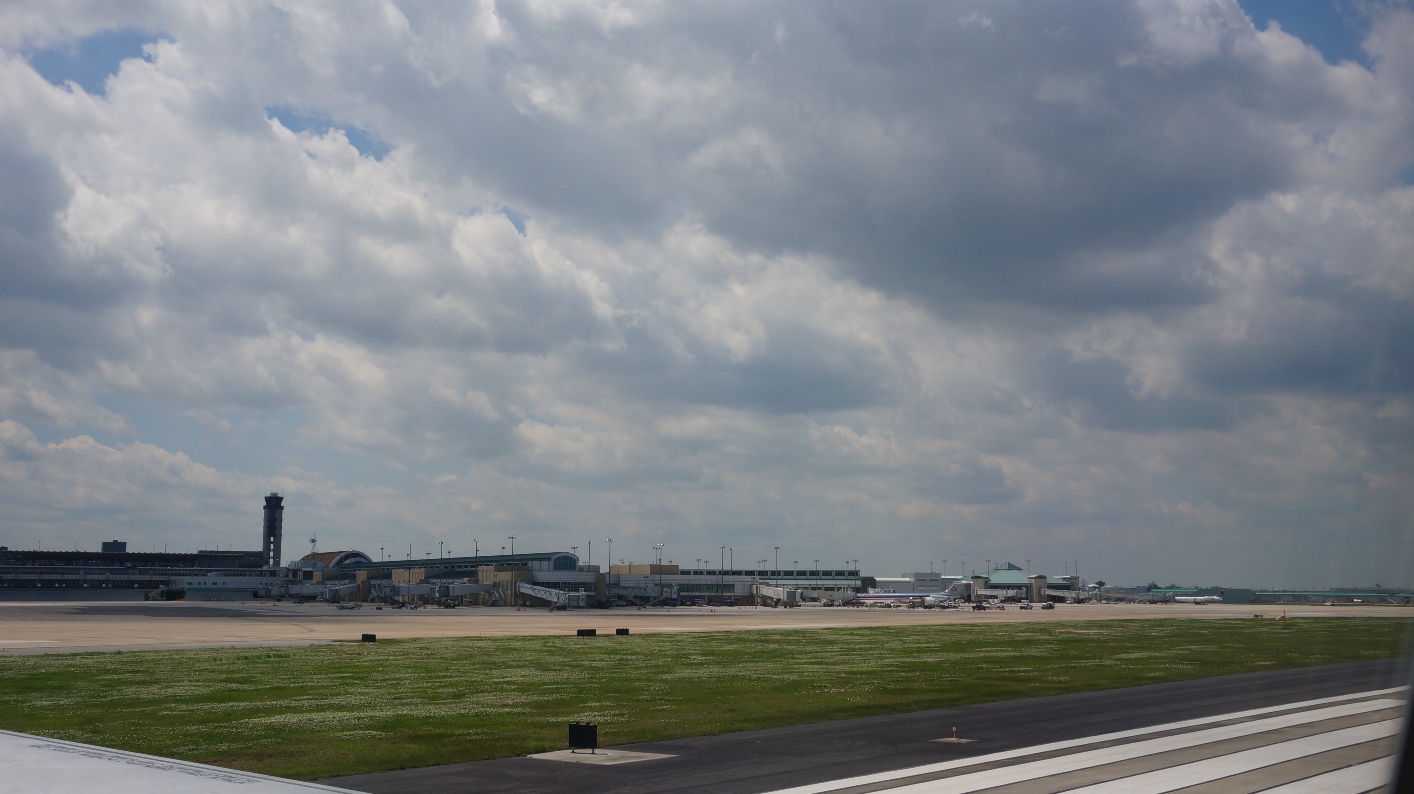
Louis Armstrong Airport, NOLA
fly wings nikon louisiana feathers aves pelican d200 animalia seabird shorebird pelecanus pelecanidae pelecaniformes pelecanusoccidentalis chordata divingbird desallemands
If something doesn't happen around here soon I'm just going to fall asleep!
blackandwhite bonnetcarrespillway longexposure louisiana mohrman monochromatic photography scott spillway
Spillway Viewing Area
louisiana interstate 10 i10 kenner road highway dualcarriageway freeway aerial traffic jeffersonparrish msy flying roadway neworleans
I-10 Kenner Aerial
aerial view mississippi river approach louis armstrong international airport msy new orleans la destrehan louisiana unitedstates us neworleans nola vista water canal “la nouvelleorléans” nouvelleorléans nueva nuova
Aerial view of Mississippi River on approach to Louis Armstrong International Airport (MSY) New Orleans LA
2014 24mm epz1650mmf3556oss female femme focallength24mm focallengthin35mmformat24mm girls highiso homme iso3200 man men messieurs missa mistera monsieur nex6 sony sonynex6 sonynex6epz1650mmf3556oss woman women
2014-04-08_09-53-43_NEX-6_DSC01982
railroad usa train blackwhite louisiana diesel noiretblanc neworleans engine rail railway depot locomotive mopac riverroad missouripacific
USA New Orleans Missouri Pacific September 1978
2014 72mm epz1650mmf3556oss focallength72mm focallengthin35mmformat72mm iso100 nex6 sony sonynex6 sonynex6epz1650mmf3556oss
2014-04-08_13-01-03_NEX-6_DSC01989
2014 46mm epz1650mmf3556oss focallength46mm focallengthin35mmformat46mm iso100 nex6 sony sonynex6 sonynex6epz1650mmf3556oss
2014-04-08_13-06-36_NEX-6_DSC01991
2014 60mm epz1650mmf3556oss focallength60mm focallengthin35mmformat60mm iso100 nex6 sony sonynex6 sonynex6epz1650mmf3556oss
2014-04-08_13-08-35_NEX-6_DSC01995
2014 49mm epz1650mmf3556oss focallength49mm focallengthin35mmformat49mm iso100 nex6 sony sonynex6 sonynex6epz1650mmf3556oss
2014-04-08_12-54-53_NEX-6_DSC01988
2014 45mm epz1650mmf3556oss focallength45mm focallengthin35mmformat45mm iso100 nex6 sony sonynex6 sonynex6epz1650mmf3556oss
2014-04-08_12-54-45_NEX-6_DSC01987
2014 48mm epz1650mmf3556oss focallength48mm focallengthin35mmformat48mm iso100 nex6 sony sonynex6 sonynex6epz1650mmf3556oss
2014-04-08_13-06-41_NEX-6_DSC01992
2014 61mm epz1650mmf3556oss focallength61mm focallengthin35mmformat61mm iso100 nex6 sony sonynex6 sonynex6epz1650mmf3556oss
2014-04-08_13-01-07_NEX-6_DSC01990
2014 46mm epz1650mmf3556oss focallength46mm focallengthin35mmformat46mm iso100 nex6 sony sonynex6 sonynex6epz1650mmf3556oss
2014-04-08_13-08-31_NEX-6_DSC01994
2014 36mm epz1650mmf3556oss focallength36mm focallengthin35mmformat36mm iso100 nex6 sony sonynex6 sonynex6epz1650mmf3556oss
2014-04-08_13-07-06_NEX-6_DSC01993
2014 36mm epz1650mmf3556oss focallength36mm focallengthin35mmformat36mm iso1250 nex6 sony sonynex6 sonynex6epz1650mmf3556oss
2014-04-08_10-02-54_NEX-6_DSC01986
2014 36mm epz1650mmf3556oss focallength36mm focallengthin35mmformat36mm iso250 nex6 sony sonynex6 sonynex6epz1650mmf3556oss
2014-04-08_10-02-47_NEX-6_DSC01985
2014 75mm epz1650mmf3556oss focallength75mm focallengthin35mmformat75mm highiso iso2500 nex6 sony sonynex6 sonynex6epz1650mmf3556oss
2014-04-08_10-00-54_NEX-6_DSC01984
2014 60mm epz1650mmf3556oss focallength60mm focallengthin35mmformat60mm highiso iso2000 nex6 sony sonynex6 sonynex6epz1650mmf3556oss
2014-04-08_09-59-46_NEX-6_DSC01983
aerialview bridge canal cloudless cloudlesssky clouds day daylight daytime flatland freeway fromadistance horizon horizontal intersection lake lakepontchartrain lookingdown marsh marshland msy neworleans nobody outdoor river road scenic water
aerial approaching MSY
we flew RIGHT over the Grand Canyon on the flight home
the green green hills of home
morning trees light red orange plant water sunrise landscape outdoors early louisiana power neworleans nuclear explore shade swamp whitebalance waterway spillway nuclearpowerplant stcharlesparish 172014 canoneos70d photographyforrecreationclassic explorejanuary72014
the gentle romantic light of nuclear power
morning blackandwhite bw tree monochrome fog landscape louisiana neworleans efs1855mm explore swamp stcharlesparish bonnetcarréspillway canoneos70d
MIA Sunrise! Only yucky gray fog
61995shellnorcoa refinery shell norco neworleans aerial industry
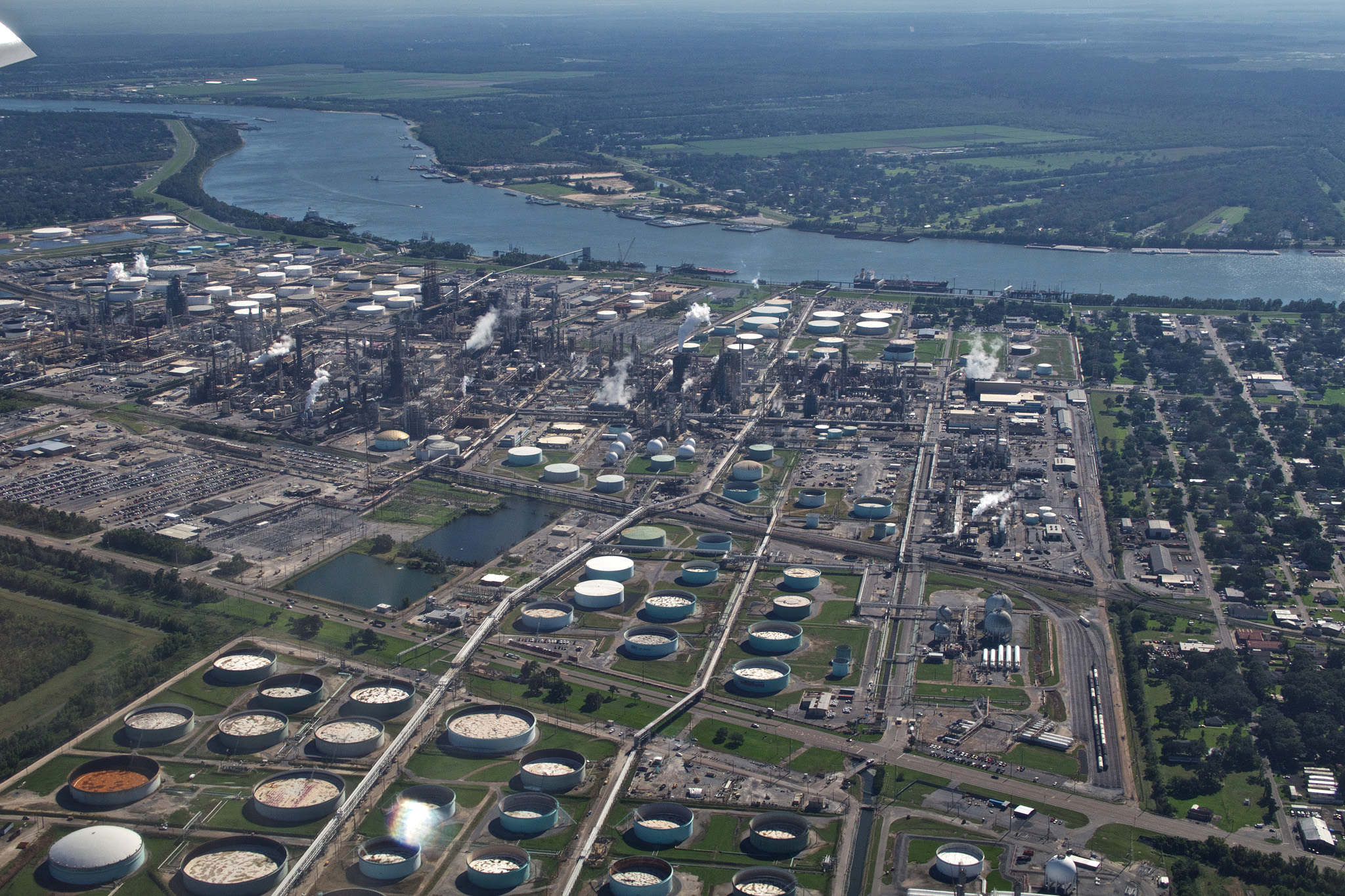
Shell Norco Refining Company
plant reflection tree abandoned nature water photoshop landscape outdoors canal moss rust rustic shed norton bayou swamp airline cypress boathouse 61 ibeauty
Rustic Shed
destrehan plantation destrehanplantation home house oak oaks tree trees moss spanish gable gables pillar pillars portch antebellum louisiana tjean314 flora favorited top 100 buildings 2007 building top100 johnhanley public allphotoscopy20052017johnhanleyallrightsreservedcontactforpermissiontouse
Destrehan Plantation 1
aerial view interstate i10 highway approach louis armstrong international airport msy new orleans la saintrose louisiana unitedstates us neworleans nola vista water mississippi river canal lake bayou swamp ponchartrain “la nouvelleorléans” nouvelleorléans nueva nuova
Aerial view of Interstate I-10 Highway on approach to Louis Armstrong International Airport (MSY) New Orleans LA
aerial view swamps approach louis armstrong international airport msy new orleans la destrehan louisiana unitedstates us neworleans nola vista water mississippi river canal lake bayou swamp ponchartrain “la nouvelleorléans” nouvelleorléans nueva nuova
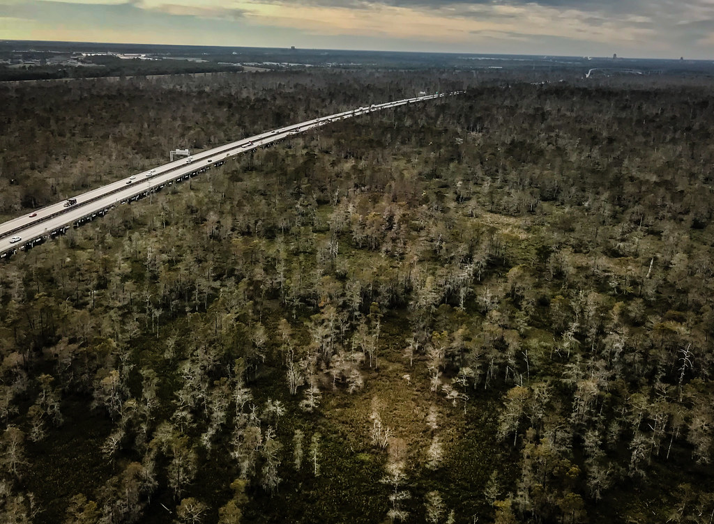
Aerial view of the swamps on approach to Louis Armstrong International Airport (MSY) New Orleans LA
lamsday1
Bonnet Carre Spillway, St. Charles Parish, Louisiana
flowers trees yellow louisiana swamp cypress luling
Cypress Swamp
ifttt instagram
I'm All Over New Orleans No6
2017 24mm avion divers dschx90v focallength24mm focallengthin35mmformat24mm iso80 lanouvelleorleans louisiana louisiane mardigras neworleans nola nouvelleorleans plane sony sonydschx90v unitedstates usa
2017-02-20_16-41-01_DSC-HX90V_DSC00066
birds alligators bayougauche cowsandbulls
BIRDS IN THE TREE
Landing in New Orleans
bridge fishing louisiana ushwy90 flickraward hdraward flickraward5 flickrawardgallery
Dual Sunset -- Hwy. 90 Series
leica sunset louisiana neworleans mississippiriver kenner m240 lr5 50mmsummiluxv2
Mississippi River Sunset