Elevation of Aspen St, Doyle, CA, USA
Location: United States > California > Lassen County > Herlong >
Longitude: -120.15528
Latitude: 40.1415246
Elevation: 1253m / 4111feet
Barometric Pressure: 87KPa
Elevation Map:
Satellite Map:
Related Photos:
Black Mountain Lookout in Plumas National Forest.
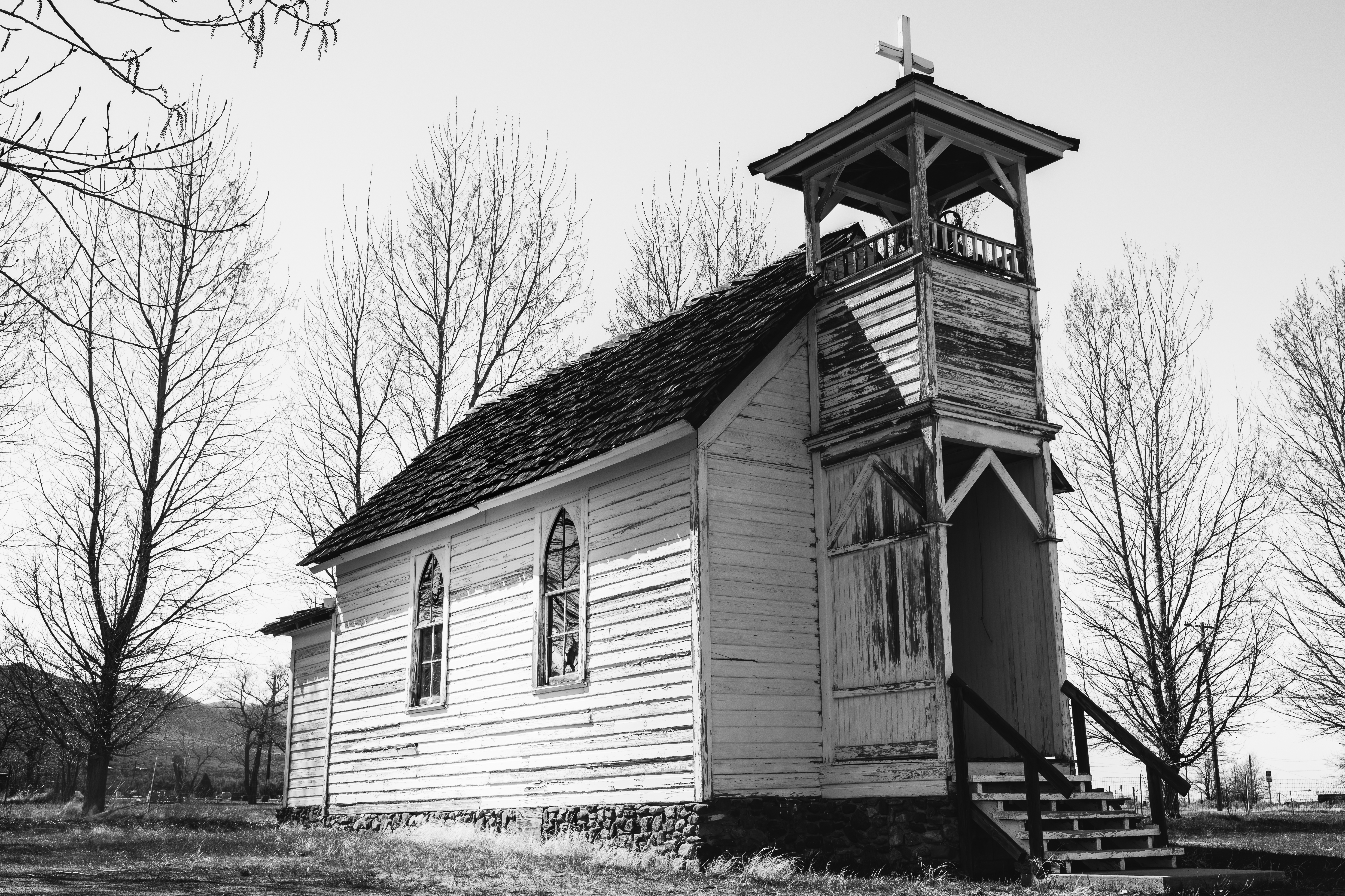
Constantia Church, Doyle, California
20170830_2321_PENTAX K-1_7297_68 mm
20170830_2323_PENTAX K-1_7300_88 mm

20170822 1038 pentax k-1 4064 105mm

20170822 1034 pentax k-1 4063 88mm
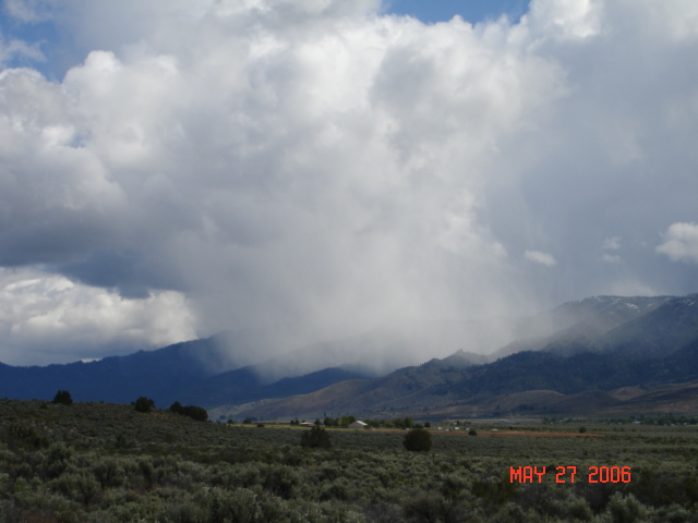
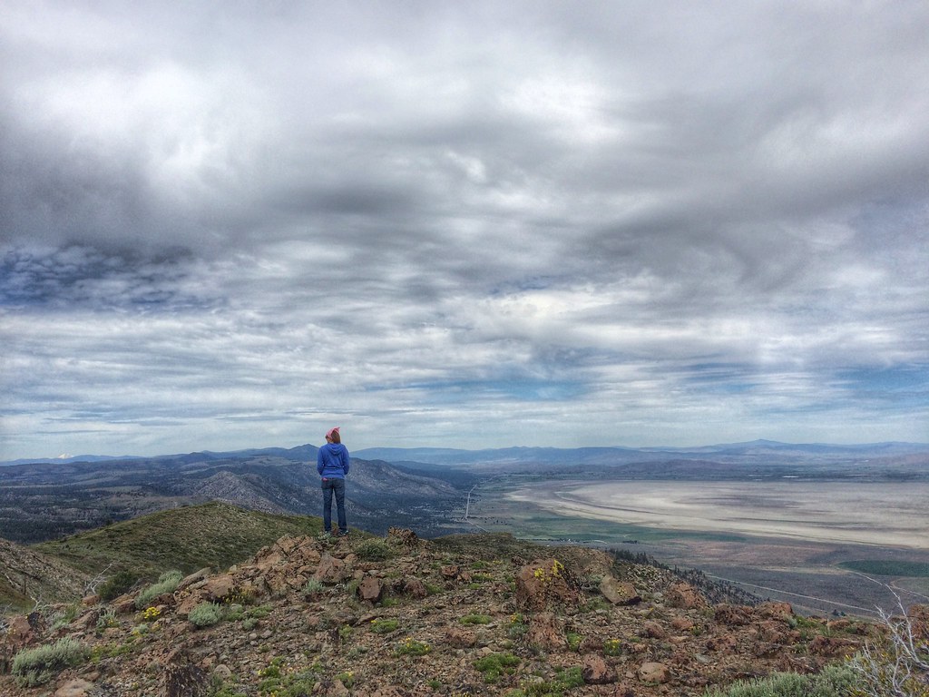
there's some rain over there ... glad I'm here
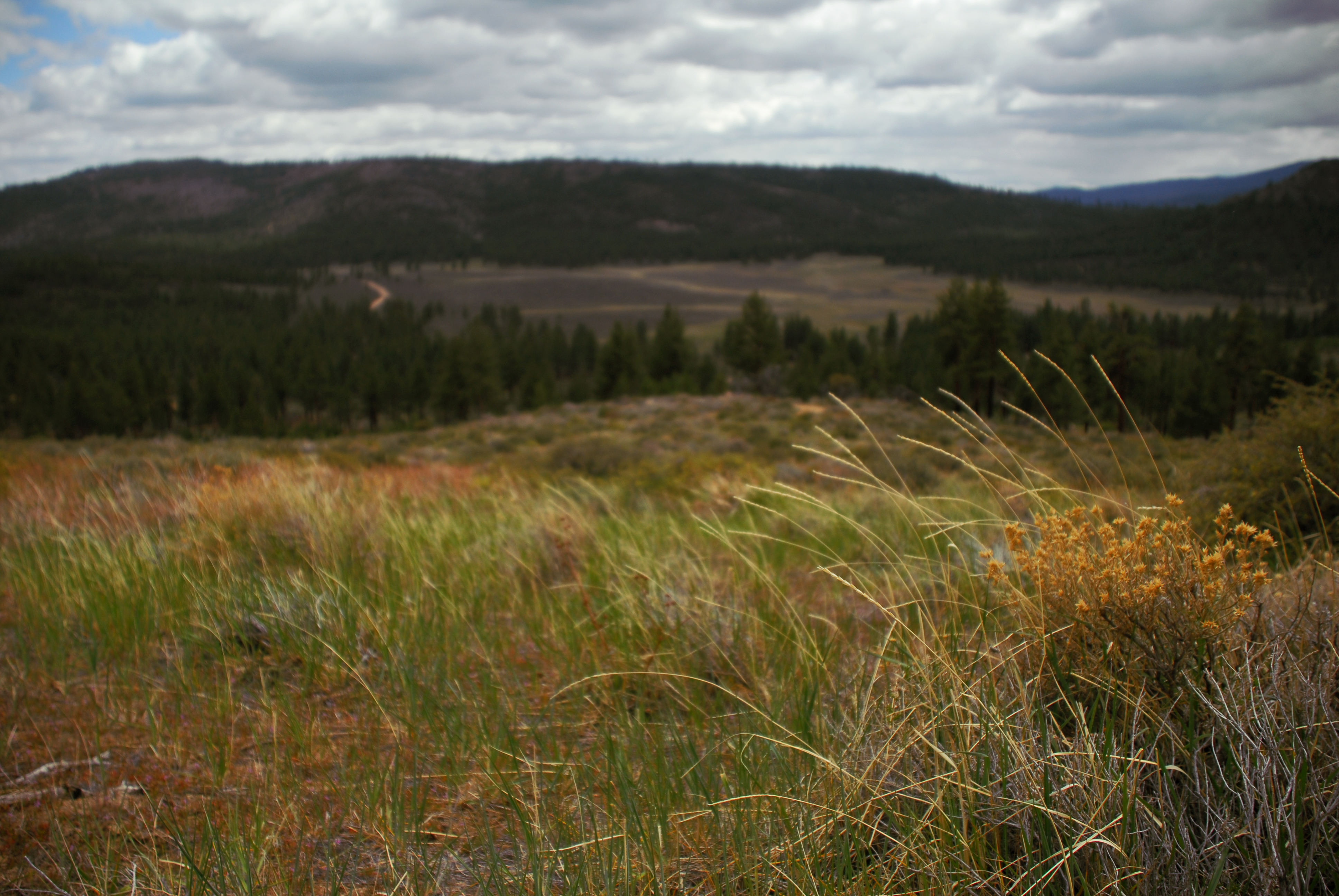
hill above meadowview

Young Red Tail
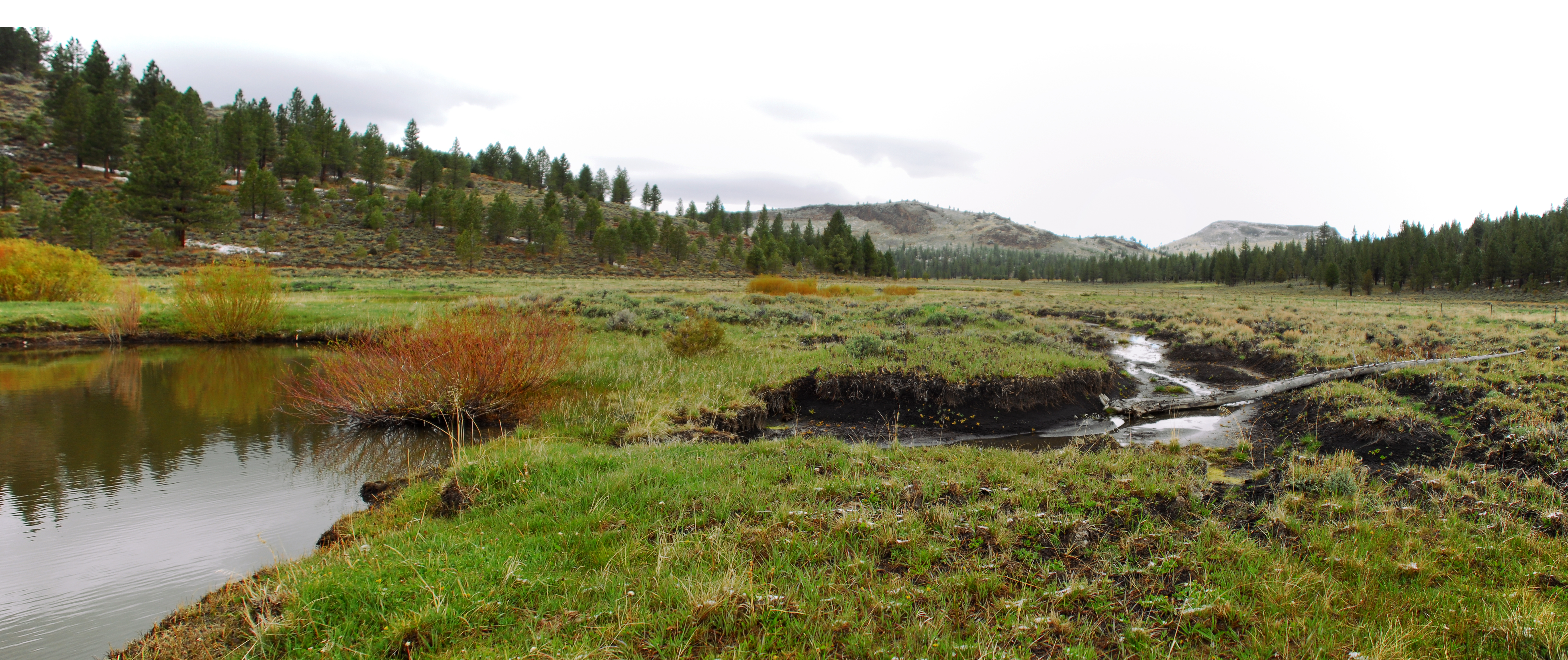
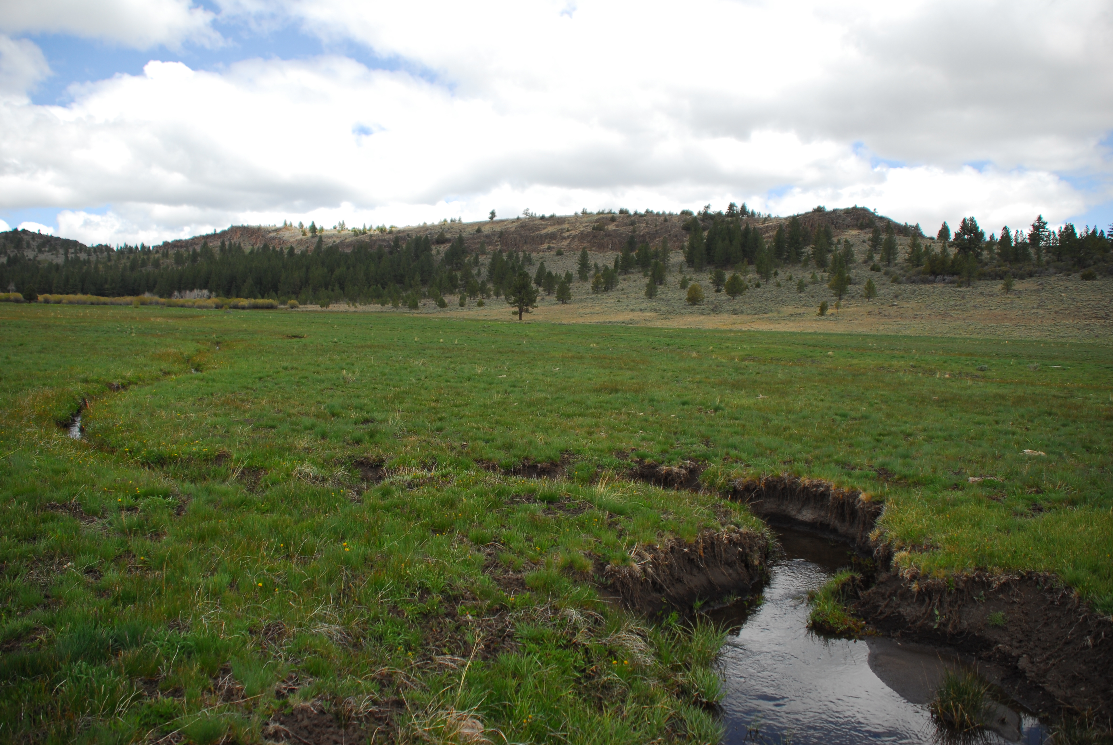
downstream of fence
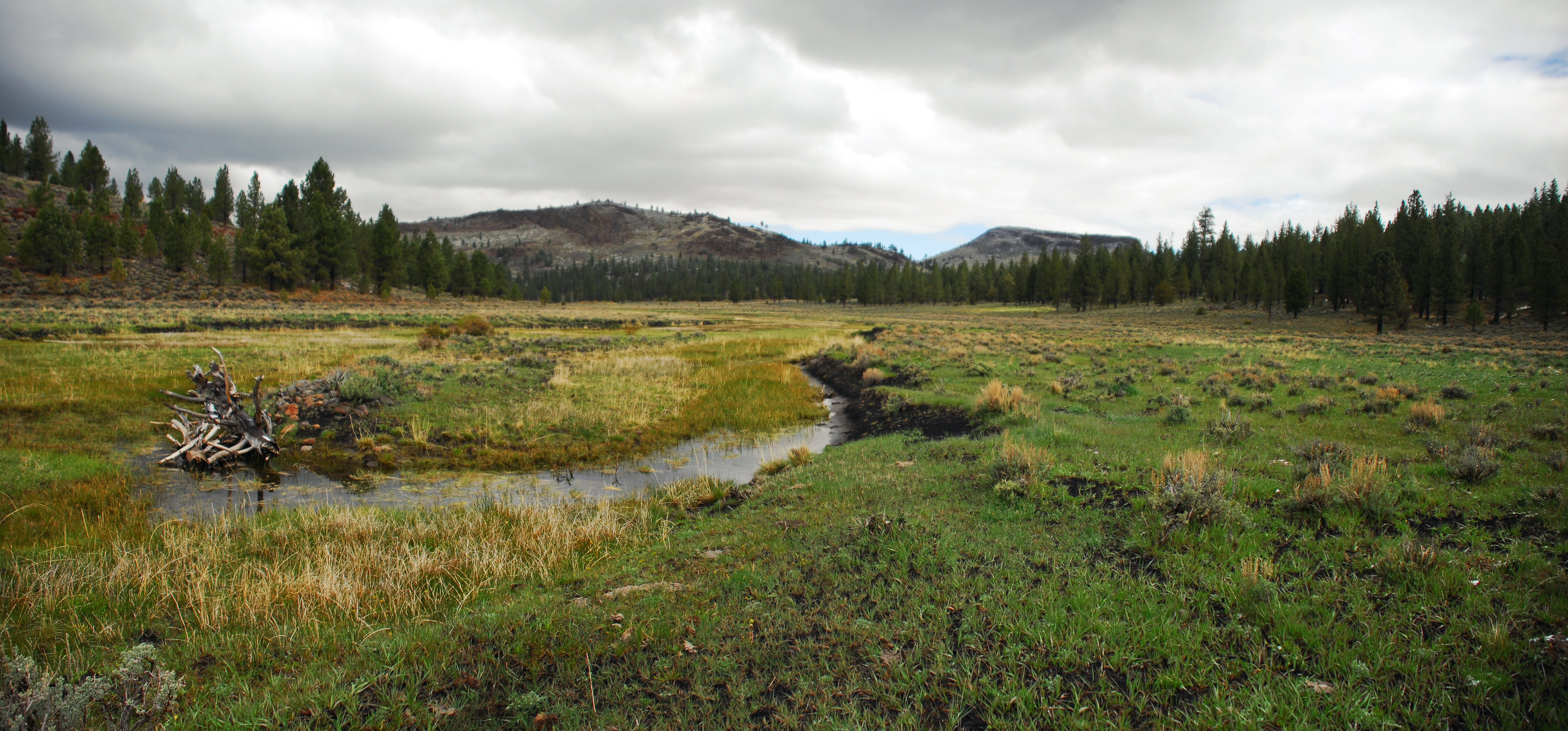
downstream-most pond and channel
Tarpaper Shack
willow and channel
willows at fan fence
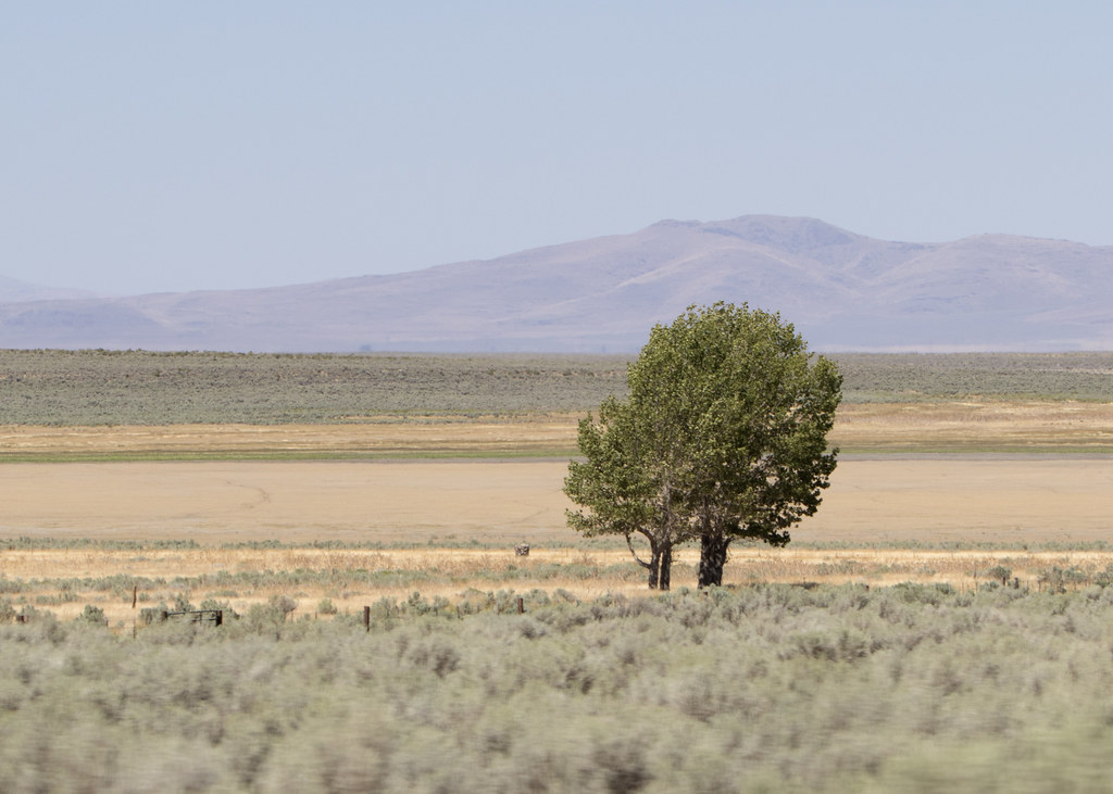
fan deposits
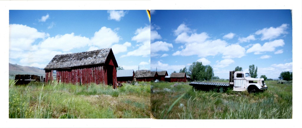
el ranchito
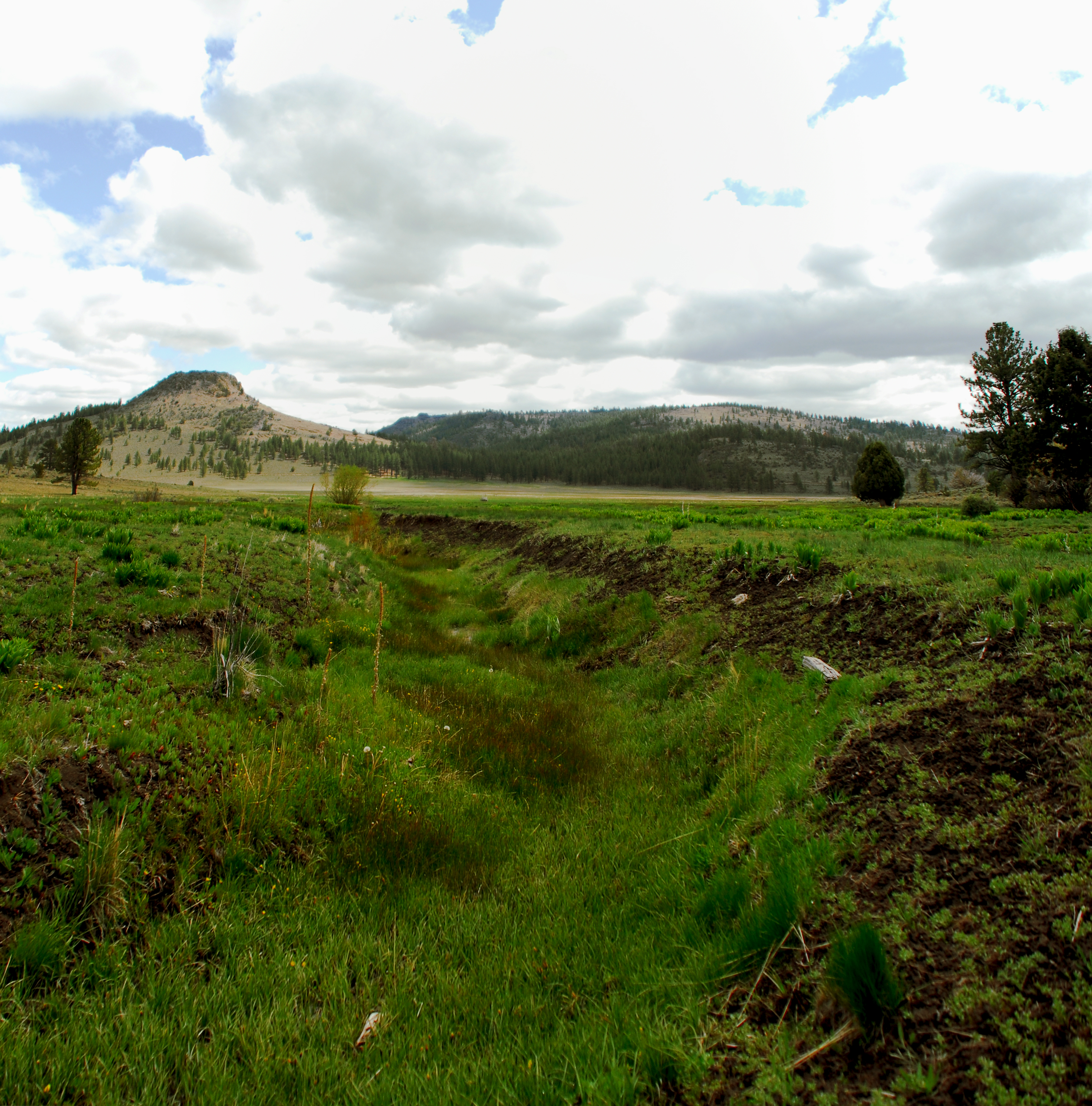
fan channel
channel at fence

cut channel
Lonesome Charlie_3135
Topographic Map of Aspen St, Doyle, CA, USA
Find elevation by address:

Places near Aspen St, Doyle, CA, USA:
107 Aspen
Pine St, Susanville, CA, USA
Herlong
Sierra Army Depot
445-25
Doyle
749-855
State Line Peak
469-660
Milford
450-275
Wendel
Hot Springs Peak
Adams Peak
Dixie Mountain
720-030 Westview Rd
Frenchman Lake Road
21905 Fetlock Dr
670 Appaloosa Cir
Reconnaissance Peak
Recent Searches:
- Elevation of Gateway Blvd SE, Canton, OH, USA
- Elevation of East W.T. Harris Boulevard, E W.T. Harris Blvd, Charlotte, NC, USA
- Elevation of West Sugar Creek, Charlotte, NC, USA
- Elevation of Wayland, NY, USA
- Elevation of Steadfast Ct, Daphne, AL, USA
- Elevation of Lagasgasan, X+CQH, Tiaong, Quezon, Philippines
- Elevation of Rojo Ct, Atascadero, CA, USA
- Elevation of Flagstaff Drive, Flagstaff Dr, North Carolina, USA
- Elevation of Avery Ln, Lakeland, FL, USA
- Elevation of Woolwine, VA, USA