Elevation of Ashland Trail, Tyrone, GA, USA
Location: United States > Georgia > Fayette County > Tyrone >
Longitude: -84.623967
Latitude: 33.4622554
Elevation: 272m / 892feet
Barometric Pressure: 98KPa
Elevation Map:
Satellite Map:
Related Photos:

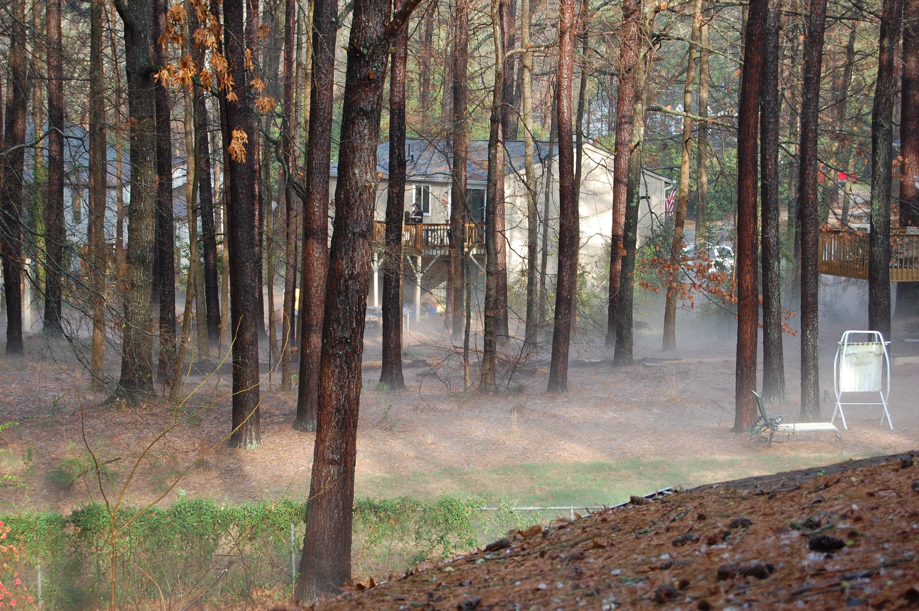
My front yard view

Truss Me

Room with a View

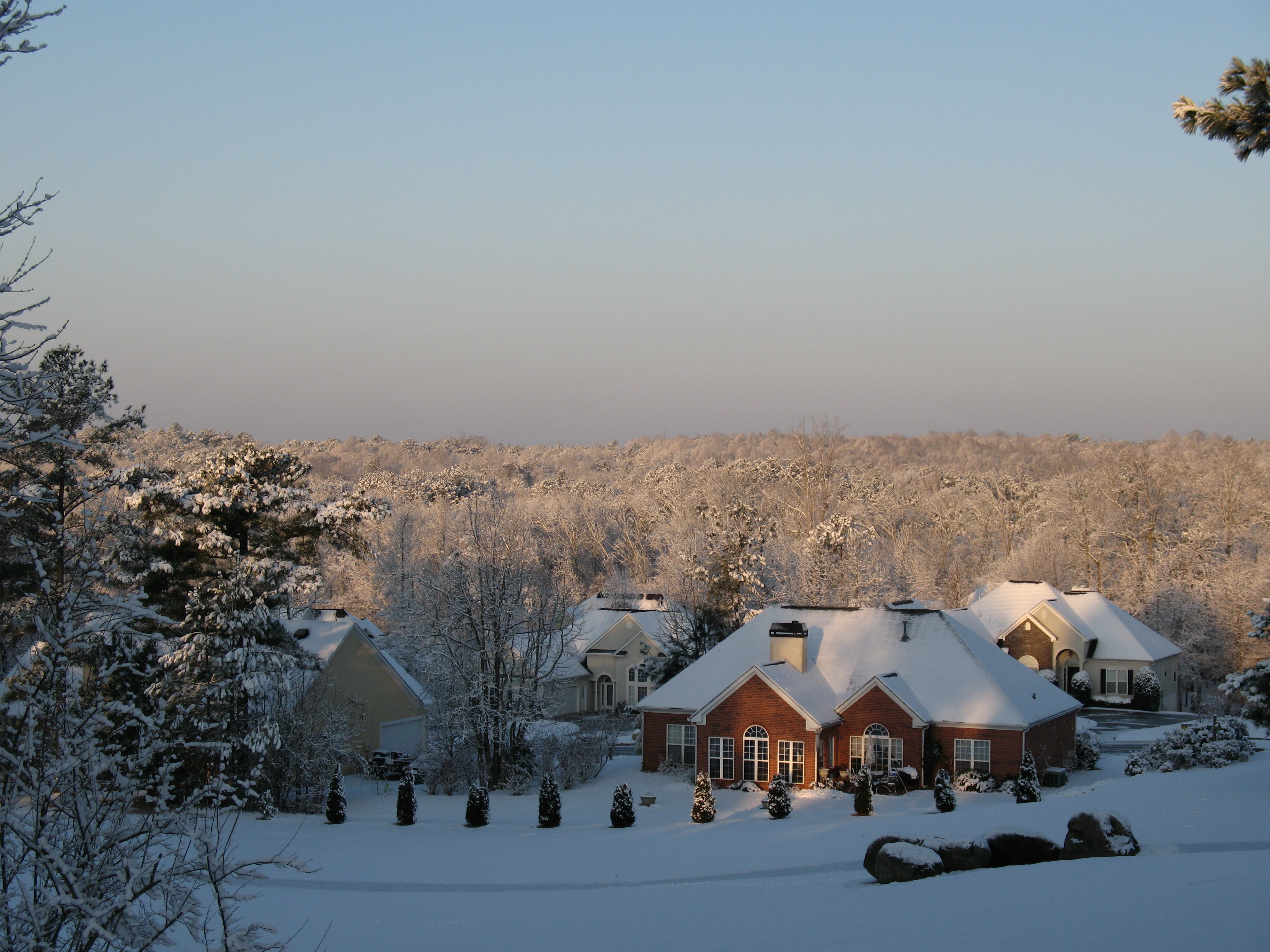
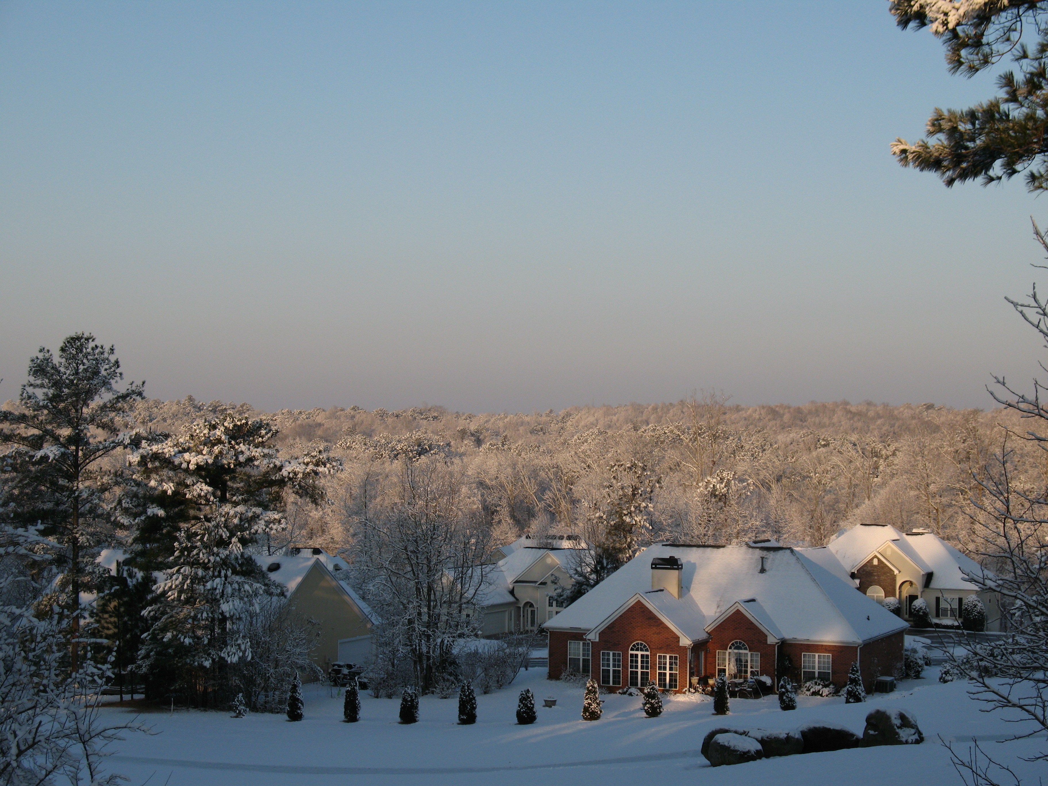
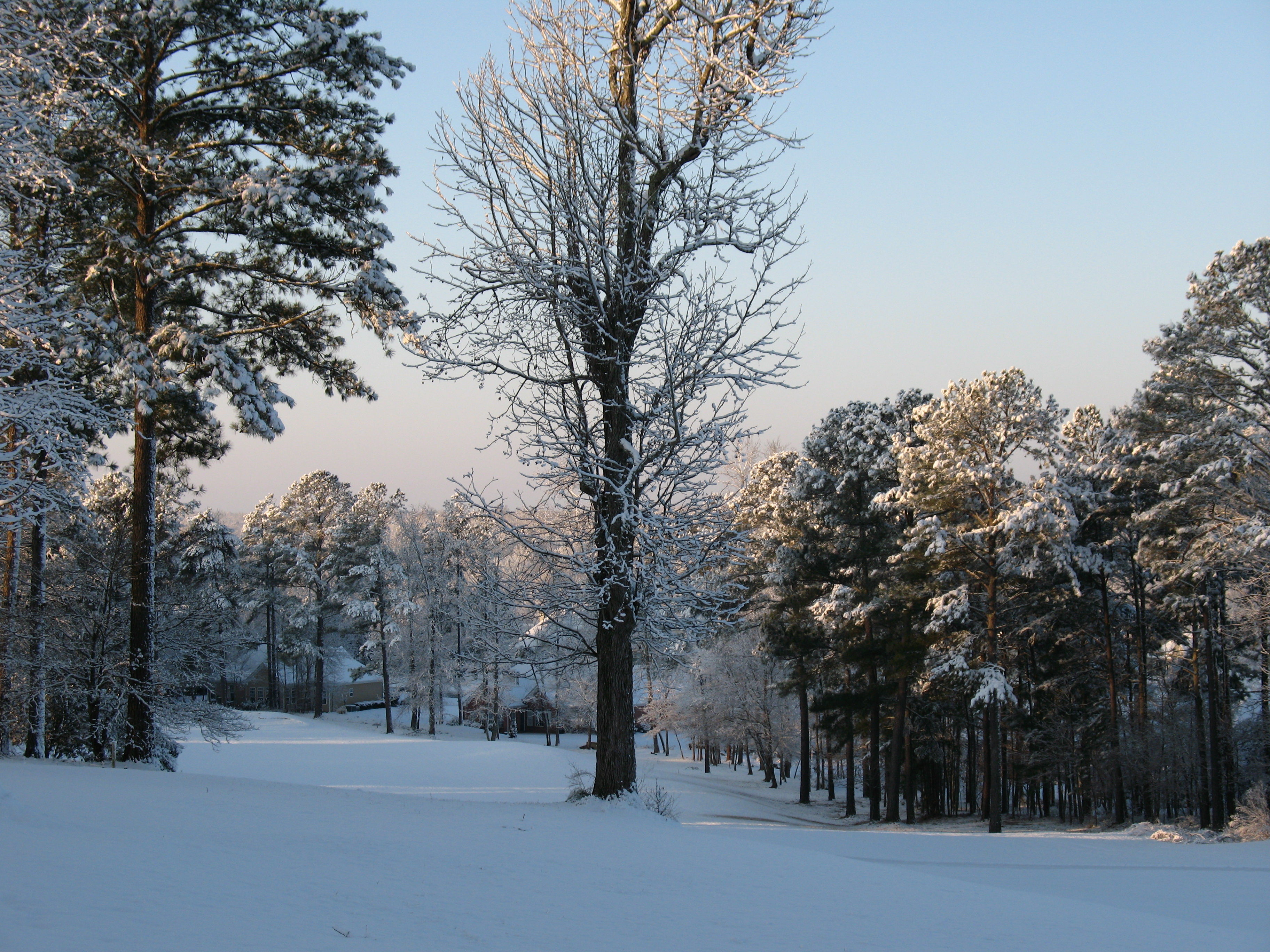
Big Cloud Winter 2006

What?
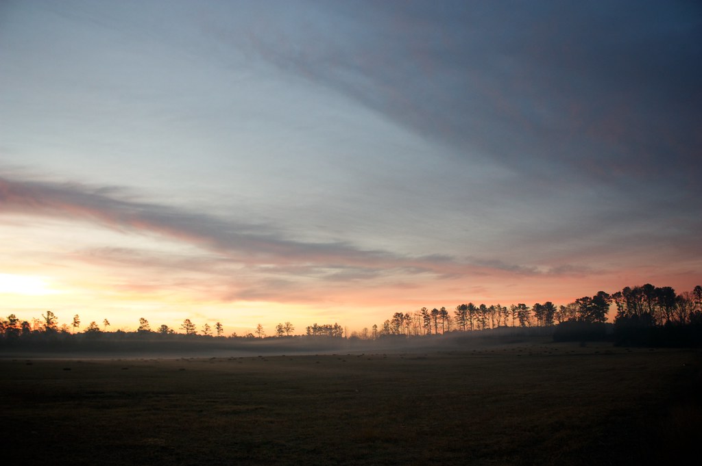
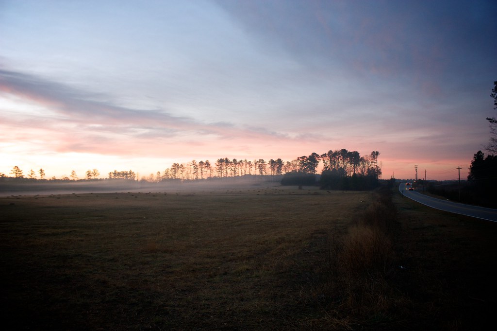
Georgia Morning
the view out my window

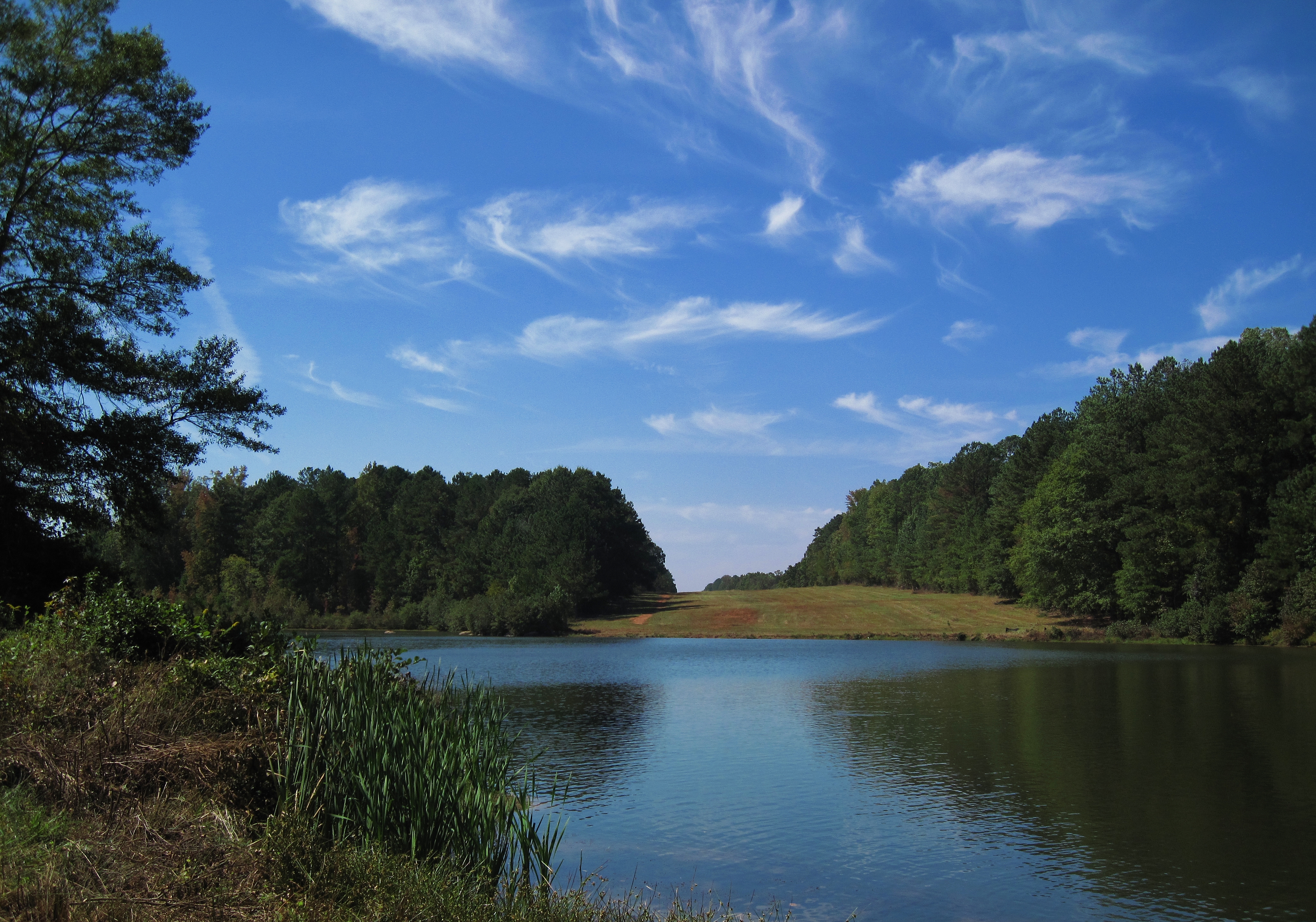
Lake View

Georgia Renaissance Festival 2005 - 28

Canon 50mm 1.8 II Test Shot
Believe me when I tell you
Westerly View 3
Fischer Road
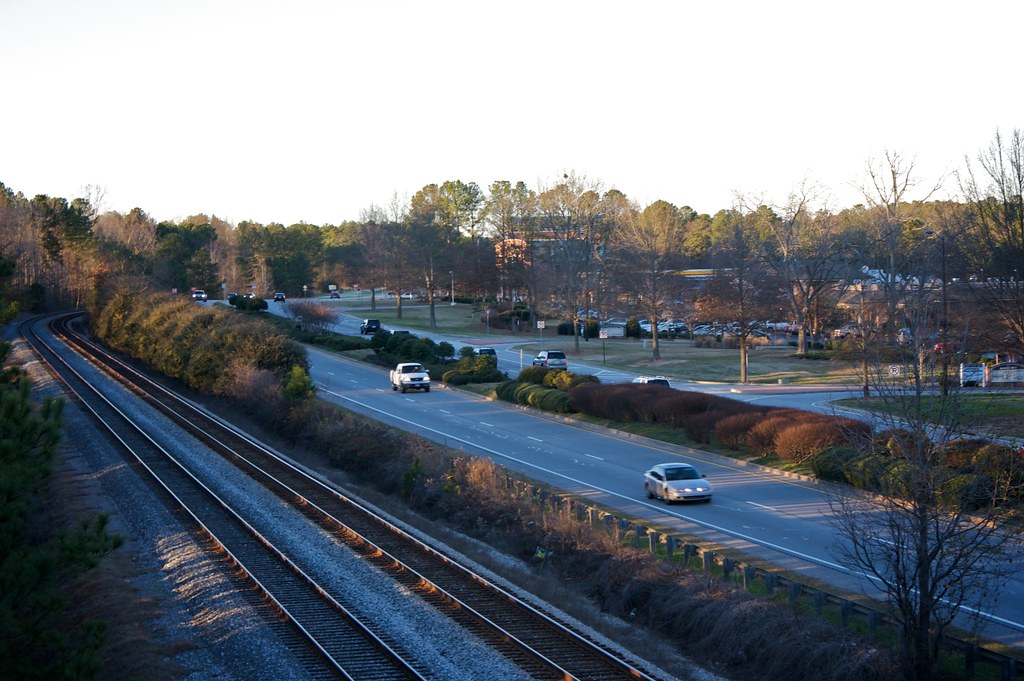
Crossing Highway 74

Sarge Closer
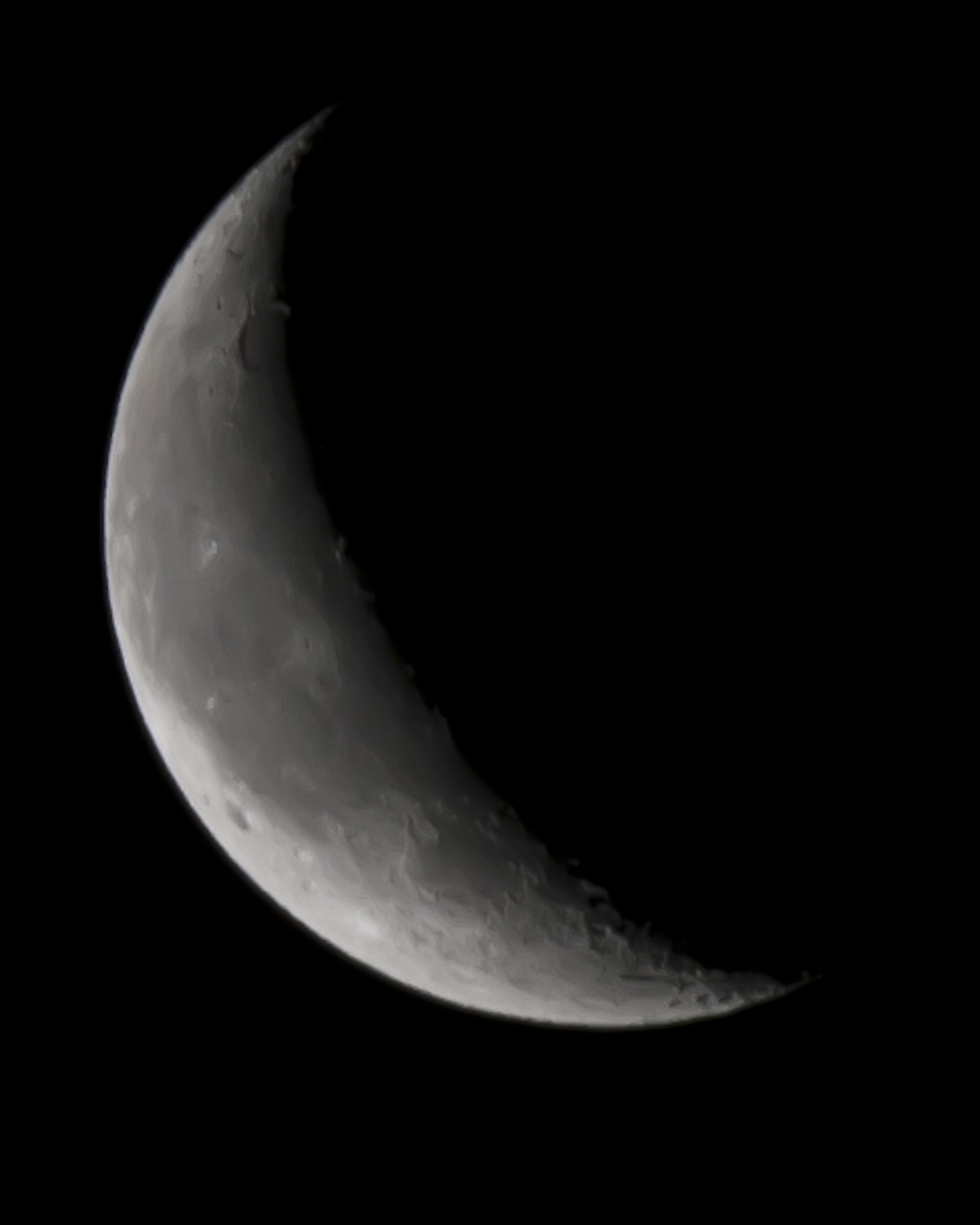
Quarter Moon 01/18/2012
Westerly View 2

Westerly View 1
View from the backyard to the south

Front View
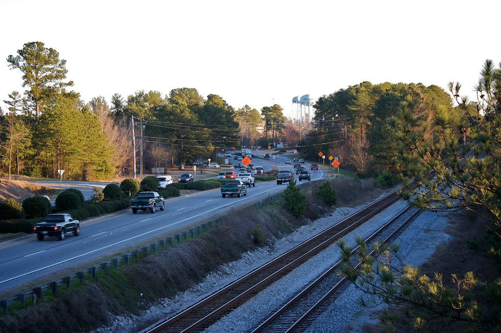
Crossing Highway 74

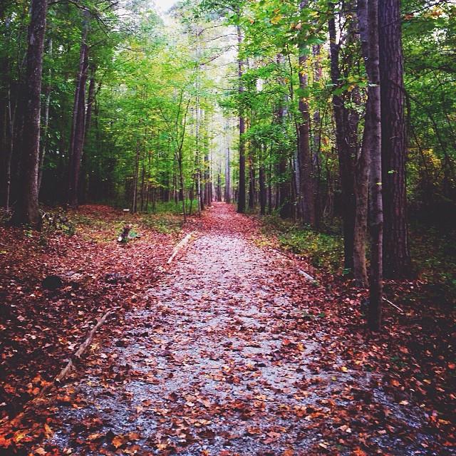
First Leaf of Fall

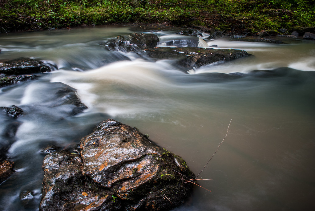
The Water Falls

Ed killing it!
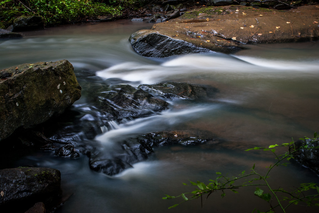
Bear Creek
Bear Creek

Flat Creek Nature Preserve

Wonders and wanders
right after the tornado

Pre-fossil
Cochran Spin

LAKE MCINTOSH HERON

Fine day for a #bike and a #cartpath thru the #ptc #peachtreecity
Bear Creek

A lil #detour in our lil detour for some #smokage #ptc #biking #peachtreecity #naturepreserve #naturetrail #southernconservationtrust
Klingons and horsehair

Line Creek

Flat Creek Nature Preserve
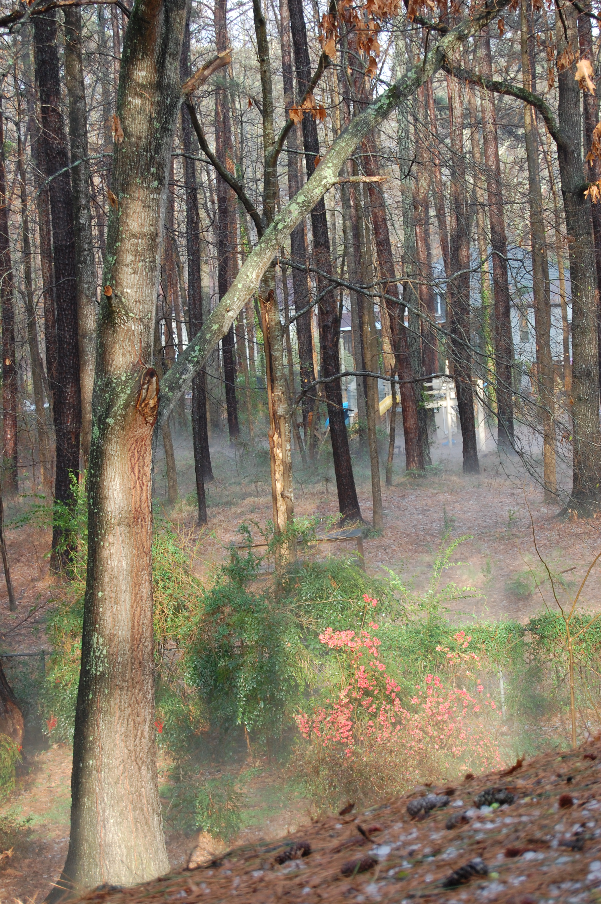
the neighbor's backyard
Changing patterns

Leaving the PTC Airport
Topographic Map of Ashland Trail, Tyrone, GA, USA
Find elevation by address:

Places near Ashland Trail, Tyrone, GA, USA:
Kylemore Pass, Tyrone, GA, USA
255 Ashland Trail
285 Ashland Trail
109 Crimson Ridge
45 Evonshire Dr
Ponderosa Trailer Park, Sharpsburg, GA, USA
798 Minix Rd
195 Montego Trail
Senoia Rd, Tyrone, GA, USA
Tyrone
135 Rollingbrook Trail
178 Ardenlee Dr
Shaw Rd, Sharpsburg, GA, USA
106 Sagamore Ln
304 Harcourt Pl
175 Deer Run Trail
Sweetbriar Dr, Palmetto, GA, USA
305 Vintage View
267 Greenwood Ln
13 Larkins Landing Ln
Recent Searches:
- Elevation of Corso Fratelli Cairoli, 35, Macerata MC, Italy
- Elevation of Tallevast Rd, Sarasota, FL, USA
- Elevation of 4th St E, Sonoma, CA, USA
- Elevation of Black Hollow Rd, Pennsdale, PA, USA
- Elevation of Oakland Ave, Williamsport, PA, USA
- Elevation of Pedrógão Grande, Portugal
- Elevation of Klee Dr, Martinsburg, WV, USA
- Elevation of Via Roma, Pieranica CR, Italy
- Elevation of Tavkvetili Mountain, Georgia
- Elevation of Hartfords Bluff Cir, Mt Pleasant, SC, USA