Elevation of Ashforth Way, Chesapeake, VA, USA

Location: United States > Virginia > Chesapeake > Great Bridge >

Longitude: -76.256443

Latitude: 36.6975426

Elevation: 8m / 26feet

Barometric Pressure: 101KPa

Elevation Map:

elevation map of Ashforth Way, Chesapeake, VA, USA
Satellite Map:

Satellite map of Ashforth Way, Chesapeake, VA, USA

Related Photos:

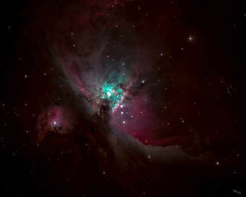
2017 photosbymch astrophotography orionnebula celestron 11inchedgehd cgemdx nightsky longexposure stacked chesapeake virginia usa canon 5dmkiii telescope edgehd11
Orion Nebula
sky ketchup lamp reflection
Window View
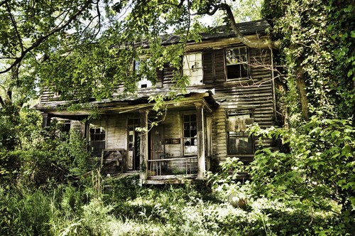
abandoned farmhouse virginia nikon sigma haunted derelict chesapeake hdr sigma1020mm d90 woodfarmhouse
Not So Living Room
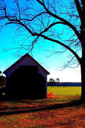
blue trees orange smile barn doors blackwater virginiabeach pungo angelospeach itsangelo aspeach whoisangeloanyway victorangelospeach photosbyangelo hesyourfriend
Custom door needed...
farmhouse
Farmhouse at Night
cake 365project 365365 365ideas endof365ideas
365/365
portrait chevrolet senior girl female virginia helmet 1966 chevelle highschool teen teenager chesapeake jcp supersport hamptonroads 2011 racinghelmet hickoryhighschool johncacherophotography
Chesapeake Senior Portrait - Katie I.
abandoned farmhouse virginia nikon sigma haunted derelict chesapeake hdr sigma1020mm d90 woodfarmhouse
Stairway To Heaven
abandoned farmhouse virginia nikon sigma haunted derelict chesapeake hdr sigma1020mm d90 woodfarmhouse
HELLp Me
abandoned farmhouse virginia nikon sigma haunted derelict chesapeake hdr sigma1020mm d90 woodfarmhouse
Master's Bedroom
abandoned farmhouse virginia nikon sigma haunted derelict chesapeake hdr sigma1020mm d90 woodfarmhouse
Lost in the Woods
abandoned farmhouse virginia nikon sigma haunted derelict chesapeake hdr sigma1020mm d90 woodfarmhouse
Mattress City
early morning light , 9/22/09
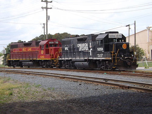
Norfolk and Portsmouth Belt Line RR
ELIZABETH RIVER FERRY @ SUNRISE
geotagged virginia portsmouth manual canonef35mmf2 iso1600 ef35mmf2 350mm canoneosrebelt1i lens:focal_min=35mm lens:focal_max=35mm exposure16at40 geo:lat=3683813293 geo:lon=7629627933
Hotel Views
ocean sea beach virginia neptune posidon liadona
Posidon's Face
moon virginia eclipse wintersolstice chesapeake jcp lunareclipse johncacherophotography wintersolsticelunareclipse
Winter Solstice Lunar Eclipse - Chesapeake, Virginia - December 21, 2010 - 2:55am
winter snow abstract cold color reflection window water glass weather digital outside 50mm virginia view bokeh freezing refraction droplet chilly condensation waterdrops chesapeake shiver hamptonroads condense tidewater nikond80 snowmageddon
Hampton Roads Snowmageddon
celltower panosabotage
Schmidt Cell
Turtle Lake
road charity blue tree canon landscape photography eos virginia lawrence ridge va 7d chesapeake canoneos7d lawrencecharityphotography
46 of 365
nature canon reflections sailing sailboats intercoastalwaterway reflectionsinwater chesapeakevirginia canon7d deepcreekpark deanwhitehurst
Reflections of sailing
canon landscape virginia virginiabeach cypresstree stumpylake
stumpy lake
pink trees sunset lake water clouds purple yellowred may8 stumpylake 2011canont2i
Stumpy Lake Sunset
Antique Sunset.
fall beach leaves clouds virginia university va regent hdr highdynamicrange photomatix 3exp
Regent Fall 2010 HDR 7
fall beach leaves clouds virginia university va regent hdr highdynamicrange photomatix 3exp
Regent Fall 2010 HDR 17
sunset clouds landscape virginia naturalbeauty
Virginia Skies
square squareformat hefe iphoneography instagramapp uploaded:by=instagram foursquare:venue=4c8bb09e6418a1439f86ebce
Sunset over the Intercoastal Waterway. You can ride it all the way to FL!
hamptonroadsrealestatephotography hamptonroadsva hamptonroads chesapeake va norfolk norfolkva downtownnorfolk nauticusnorfolkva chesapeke realestate aerial aerialphoto dronephoto drone djidrone djimavicair
HRStock Drone (588 of 776)
landscape virginia va portsmouth
Industrial Nature
Glassy Canal
sunset 4 chesapeake iphone colorfulsunset sooc virginiasunset
From iPhone
Indian Creek Horizontal Crop
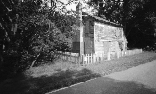
blackandwhite usa house building abandoned 120 film analog mediumformat landscape outdoors virginia lomography day unitedstates toycamera scenic pinhole 6x9 pinholecamera rodinal chesapeake pinholephotography blackandwhitephotography filmphotography arista greatdismalswamp aristaeduultra100 holga120wpc phfb
Abandoned House on the Dismal Swamp Canal Trail
square squareformat iphoneography instagramapp uploaded:by=instagram
The calm before the storm...
dronephoto djimavicair djidrone drone aerial aerialphoto virginia norfolkva chesapeake va beach suffolk hampton hamptonroadsrealestatephotography hamptonroadsva hamptonroads realestate
HRStock Drone (116 of 776)
houses reflection water project365
20090417 - 365.64 - Canal
usa va chesapeake
I-64, High Rise Bridge
park water fountain grass virginia log lakeside chesapeake hdr
Lakeside Park