Elevation of Ashe Roofing, S Big Horse Creek Rd, Lansing, NC, USA
Location: United States > North Carolina > Ashe County > Piney Creek > Lansing >
Longitude: -81.527744
Latitude: 36.5250851
Elevation: 820m / 2690feet
Barometric Pressure: 92KPa
Elevation Map:
Satellite Map:
Related Photos:

Signs of Fall - HFF

Green Cove Station

Whitetop Sunset 2016

Morning Light

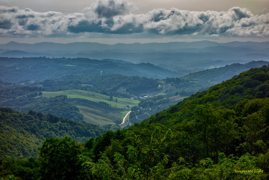
Luther Rock View

3D Grayson Highlands Park

AT Panorama – 9/19/2020
The Ranger’s View

The Vista 01
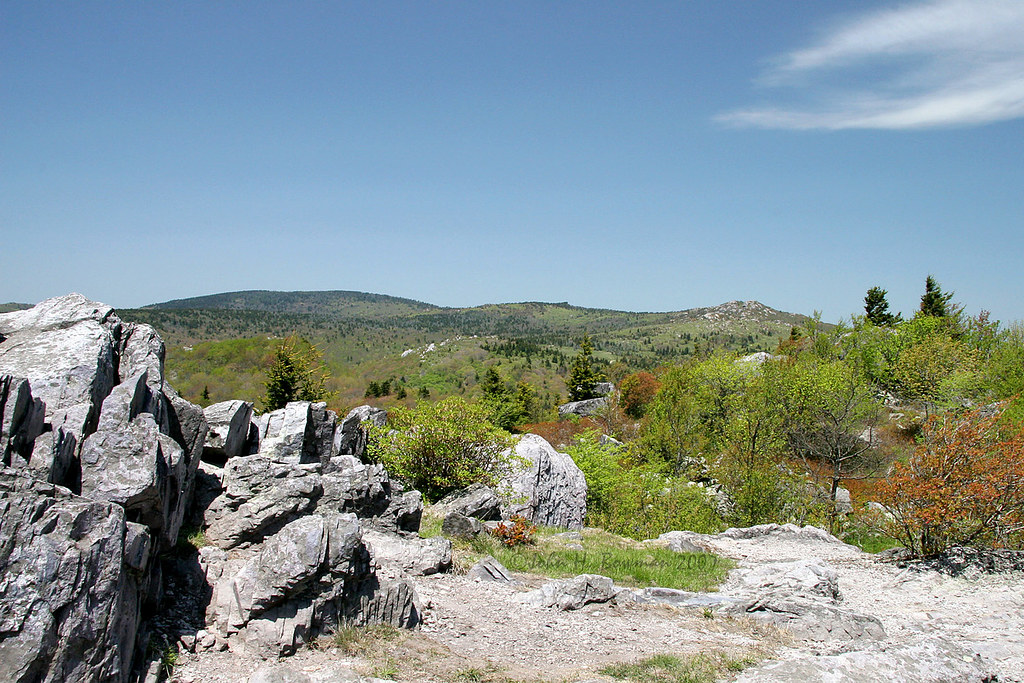
Grayson Highlands

View Toward Buzzard Rocks from Whitetop Mountain - Mt. Rogers, NRA, Whitetop, VA

Appalachian NST on Whitetop Mountain, VA (2)

Two Hikers taking in the Grayson County view.

Wilburn Ridge Trail

Wilburn Ridge Pano

Morning on Wilburn Ridge

Wilburn Ridge Sunrise

Views on Wilburn Ridge

Buzzard Rock, Appalachian NST, VA (3)

Grayson Highlands Sunset

Views on Wilburn Ridge

A little color...Sugarlands Overlook, Grayson Highlands State Park [Explored]

Christmas Tree Farms...

Sugarland Overlook - Grayson Highlands State Park

Grayson Highlands

Pony at Grayson Highlands State Park, Virginia

On the Virginia Highlands Horse Trail

1991.01.15.02 Winter in Elk Garden Gap
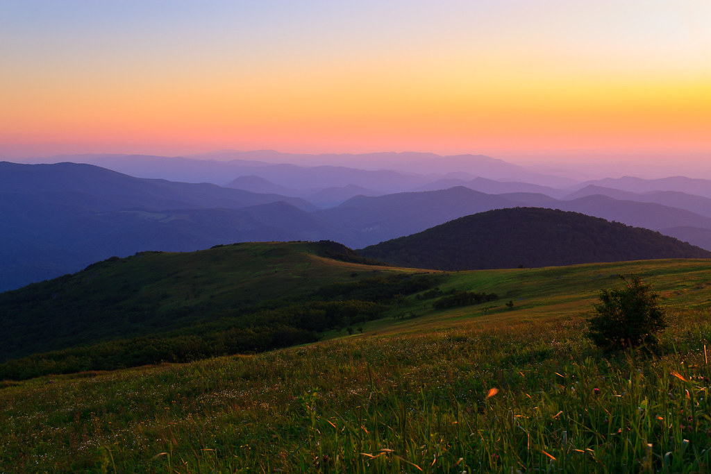
Sunset on White Top

VA601 to Buzzard Rock, Appalachian NST, VA (13)
Topographic Map of Ashe Roofing, S Big Horse Creek Rd, Lansing, NC, USA
Find elevation by address:

Places near Ashe Roofing, S Big Horse Creek Rd, Lansing, NC, USA:
1827 S Big Horse Creek Rd
1369 Anderson Hill Rd
575 Johnson Farms Rd
300 State Rd 1324
Bee Tree Rd, Lansing, NC, USA
East Little Horse Creek Road
East Little Horse Creek Road
East Little Horse Creek Road
10327 Nc-194
Piney Creek
South Big Horse Creek Road
972 Joe Hampton Rd
251 Shephard Hollow
13120 Nc-194
Joe Hampton Road
1476 Big Windfall Rd
Lansing
465 H St
1957 Long Branch Rd
1896 Long Branch Rd
Recent Searches:
- Elevation of Tenjo, Cundinamarca, Colombia
- Elevation of Côte-des-Neiges, Montreal, QC H4A 3J6, Canada
- Elevation of Bobcat Dr, Helena, MT, USA
- Elevation of Zu den Ihlowbergen, Althüttendorf, Germany
- Elevation of Badaber, Peshawar, Khyber Pakhtunkhwa, Pakistan
- Elevation of SE Heron Loop, Lincoln City, OR, USA
- Elevation of Slanický ostrov, 01 Námestovo, Slovakia
- Elevation of Spaceport America, Co Rd A, Truth or Consequences, NM, USA
- Elevation of Warwick, RI, USA
- Elevation of Fern Rd, Whitmore, CA, USA