Elevation of Ashaghi Aylis, Azerbaijan
Location: Azerbaijan > Nakhchivan Autonomous Republic >
Longitude: 45.9887429
Latitude: 38.9223963
Elevation: 869m / 2851feet
Barometric Pressure: 91KPa
Elevation Map:
Satellite Map:
Related Photos:
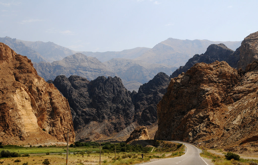
Siahrood / سیه رود (Iran) - Iran-Azerbaijan-Armenia Tripoint
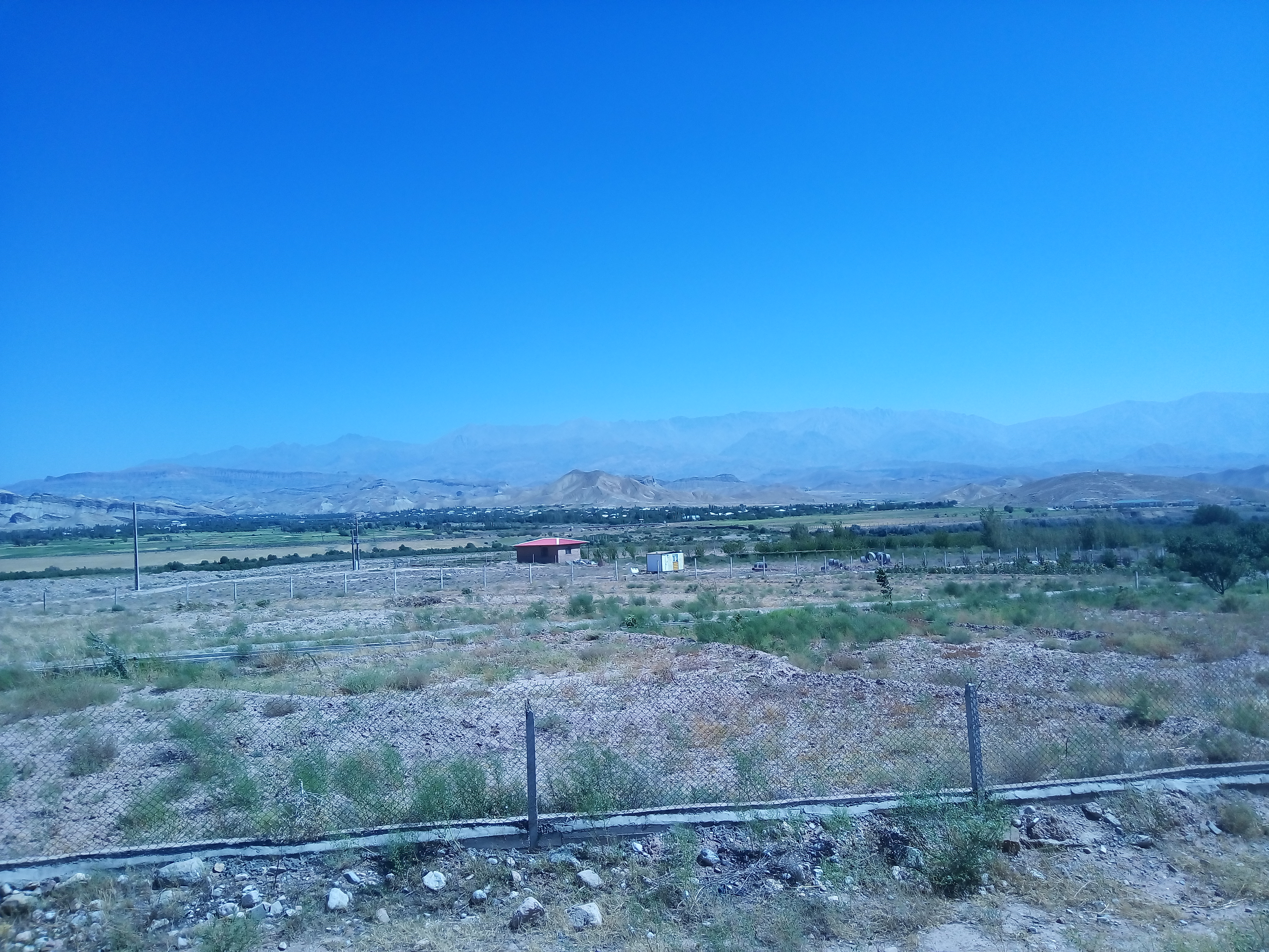
2016-08-22_12-07-43

iran 2016
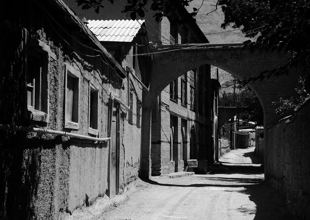
Ordubad (Naxçıvan, Azerbaijan) - Old Town
Topographic Map of Ashaghi Aylis, Azerbaijan
Find elevation by address:

Places near Ashaghi Aylis, Azerbaijan:
Ordubad
Agarak
Mount Kaputjugh
Nəsrivaz
Meghri
Kajaran
Qazangödağ
Varazeqān
Marand
Babak
Nakhchivan
Tumbul
Yarimja
Sarıdağ
Nakhchivan Autonomous Republic
Azerbaijan
Azerbaijan
Khalkhal
Babek
Shabestar
Recent Searches:
- Elevation of Beall Road, Beall Rd, Florida, USA
- Elevation of Leguwa, Nepal
- Elevation of County Rd, Enterprise, AL, USA
- Elevation of Kolchuginsky District, Vladimir Oblast, Russia
- Elevation of Shustino, Vladimir Oblast, Russia
- Elevation of Lampiasi St, Sarasota, FL, USA
- Elevation of Elwyn Dr, Roanoke Rapids, NC, USA
- Elevation of Congressional Dr, Stevensville, MD, USA
- Elevation of Bellview Rd, McLean, VA, USA
- Elevation of Stage Island Rd, Chatham, MA, USA