Elevation of Arthur Collier Rd, Bladenboro, NC, USA
Location: United States > North Carolina > Columbus County >
Longitude: -78.828373
Latitude: 34.453448
Elevation: 35m / 115feet
Barometric Pressure: 101KPa
Elevation Map:
Satellite Map:
Related Photos:

IMG_7020.JPG

Along the way we ate at BK

Mark after that GOOD sandwich
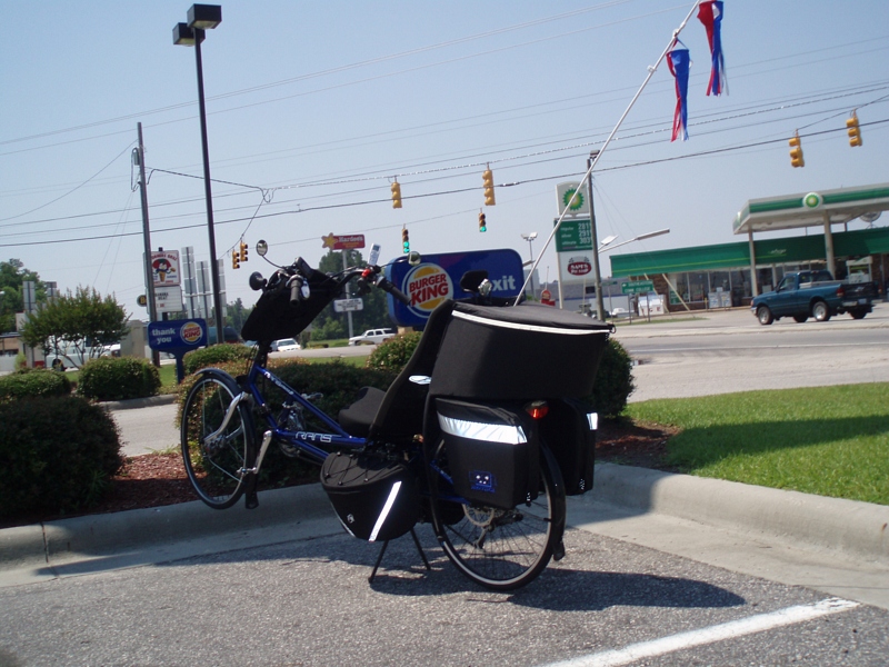
The bike
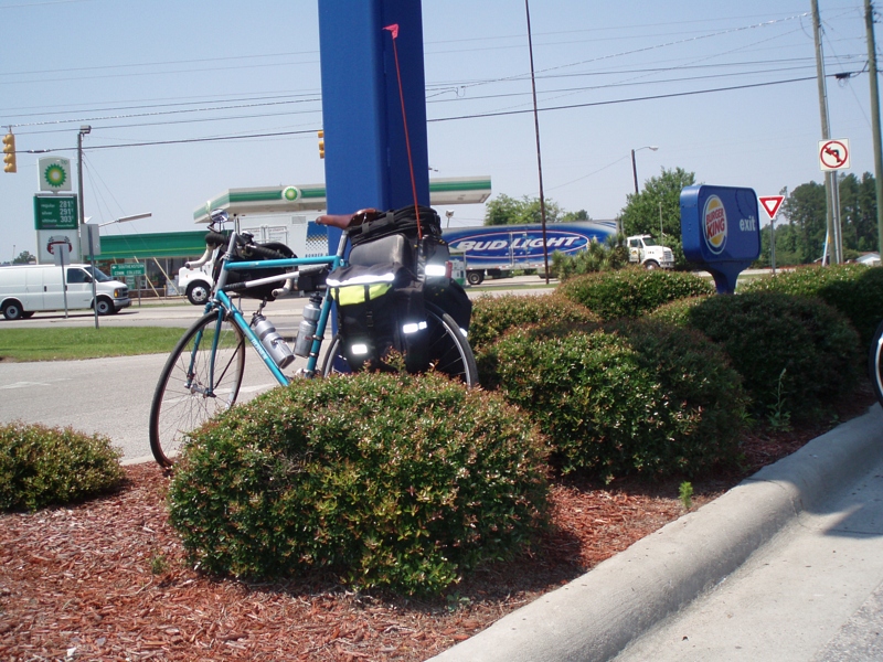
The other bike
#wectwx

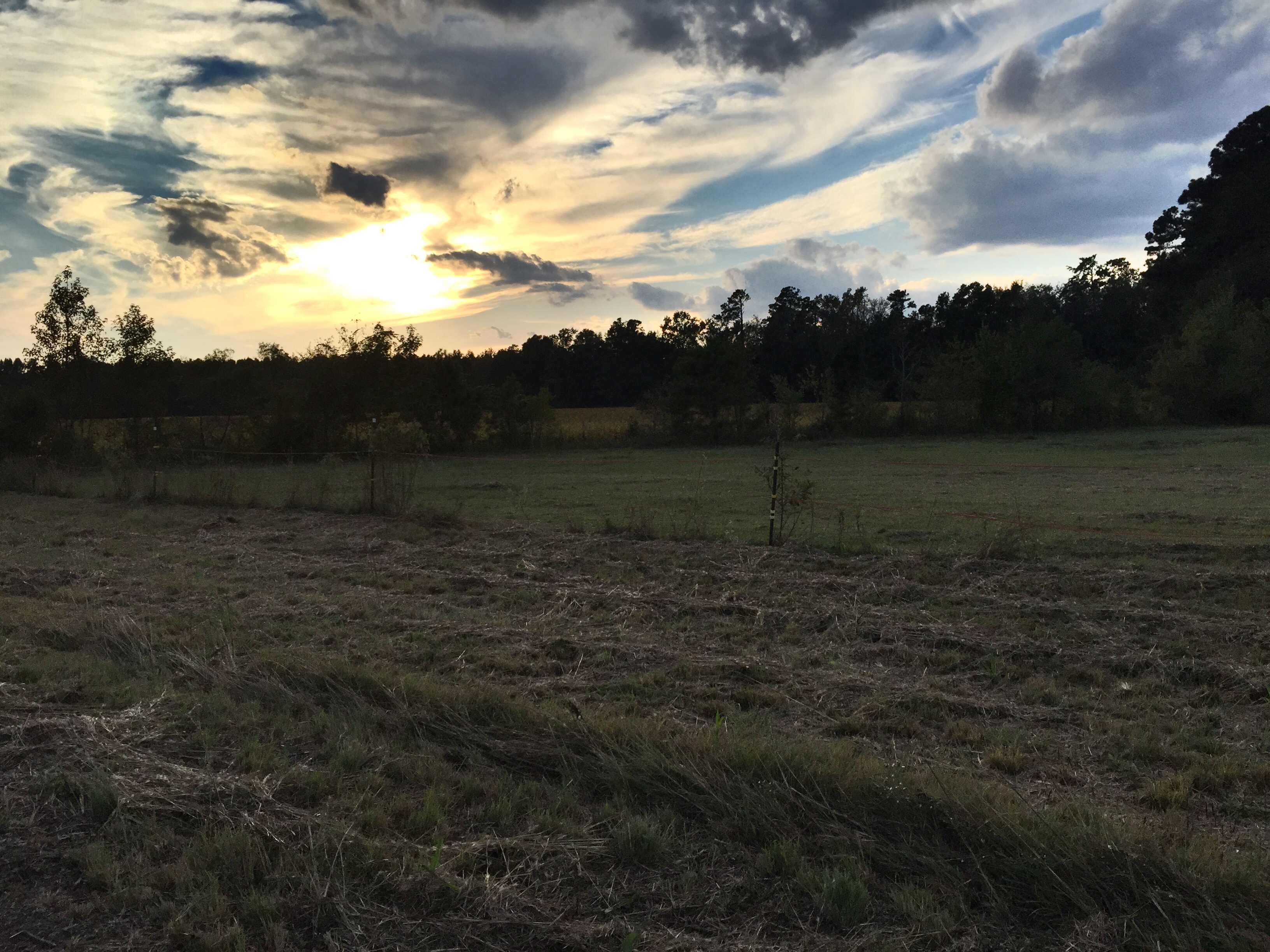
Sunday morning in my backyard.
IMG_6538.JPG

IMG_6049.JPG
IMG_6537.JPG
IMG_6509.JPG

IMG_6047.JPG
IMG_6506.JPG
IMG_6517.JPG
IMG_6511.JPG
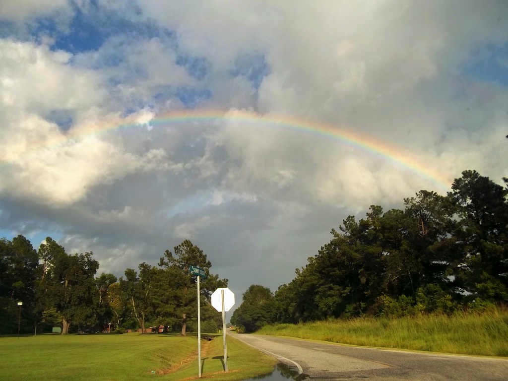
Rainbow Over Railroad Avenue In Chadbourn.

IMG_6517.JPG
IMG_6521.JPG
IMG_6504.JPG
IMG_6529.JPG

IMG_6530.JPG

IMG_6533.JPG
IMG_6505.JPG
IMG_6516.JPG

IMG_6515.JPG
IMG_6514.JPG
Topographic Map of Arthur Collier Rd, Bladenboro, NC, USA
Find elevation by address:

Places near Arthur Collier Rd, Bladenboro, NC, USA:
Bladenboro
Main St, Bladenboro, NC, USA
Bladenboro
13 Butters Cemetery Rd, Butters, NC, USA
Wisharts
46 Hemlock Dr
E Nc Rd, Lumberton, NC, USA
Britts
250 Antioch Rd
E 5th St, Lumberton, NC, USA
Orrum
East 5th Street
Orrum
62 Creekwood Rd
1866 Hestertown Rd
2728 Bishop Cir #802
51 Lake Dr
512 Lafayette St
301 Hollywood Dr
Mueller Dr, Lumberton, NC, USA
Recent Searches:
- Elevation of Corso Fratelli Cairoli, 35, Macerata MC, Italy
- Elevation of Tallevast Rd, Sarasota, FL, USA
- Elevation of 4th St E, Sonoma, CA, USA
- Elevation of Black Hollow Rd, Pennsdale, PA, USA
- Elevation of Oakland Ave, Williamsport, PA, USA
- Elevation of Pedrógão Grande, Portugal
- Elevation of Klee Dr, Martinsburg, WV, USA
- Elevation of Via Roma, Pieranica CR, Italy
- Elevation of Tavkvetili Mountain, Georgia
- Elevation of Hartfords Bluff Cir, Mt Pleasant, SC, USA