Elevation of Arrington Bridge Rd, Dudley, NC, USA
Location: United States > North Carolina > Wayne County > Brogden > Brogden > Dudley >
Longitude: -77.957538
Latitude: 35.2996797
Elevation: 19m / 62feet
Barometric Pressure: 101KPa
Elevation Map:
Satellite Map:
Related Photos:
Time to Fly!!

X-ray 3
X-ray 4
Wayne Cotton Mill, Goldsboro, NC
Laurel's soy-milk box helmet
X-ray 3, highlighted
A panoramic view of the flooded front yard

Willow Dale Cemetery
Rail Road Village

A dormer with a view.
1571 Goldsboro Img_19724

Rainbow center
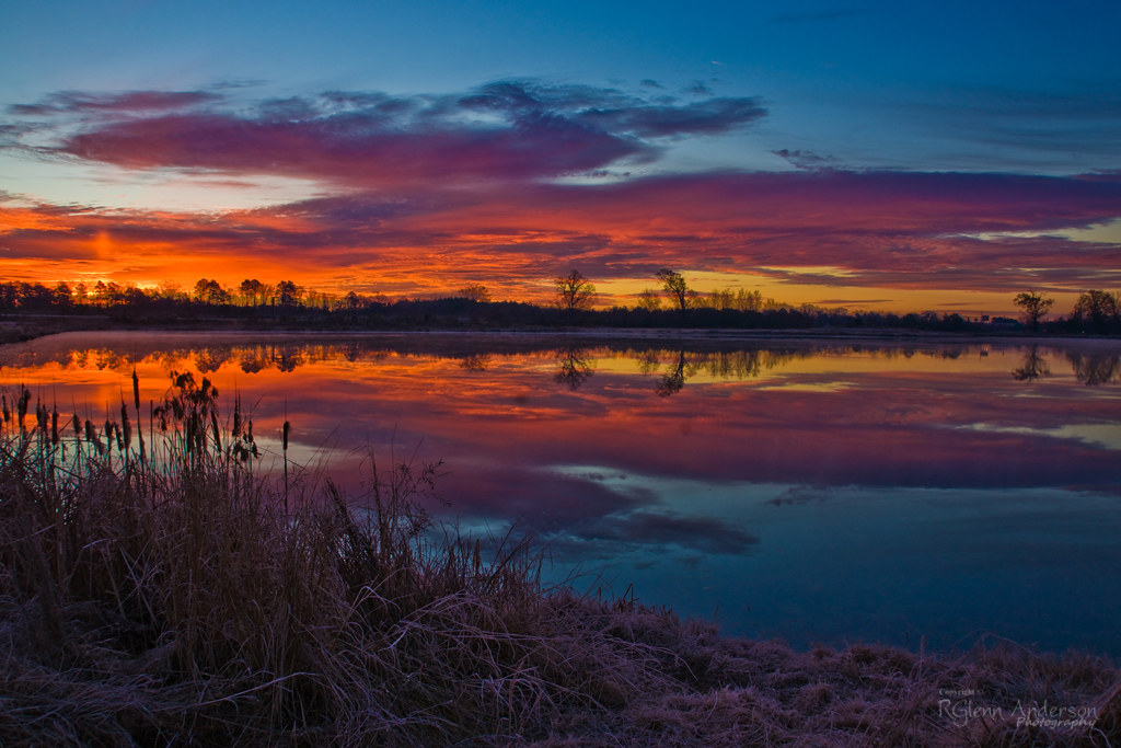
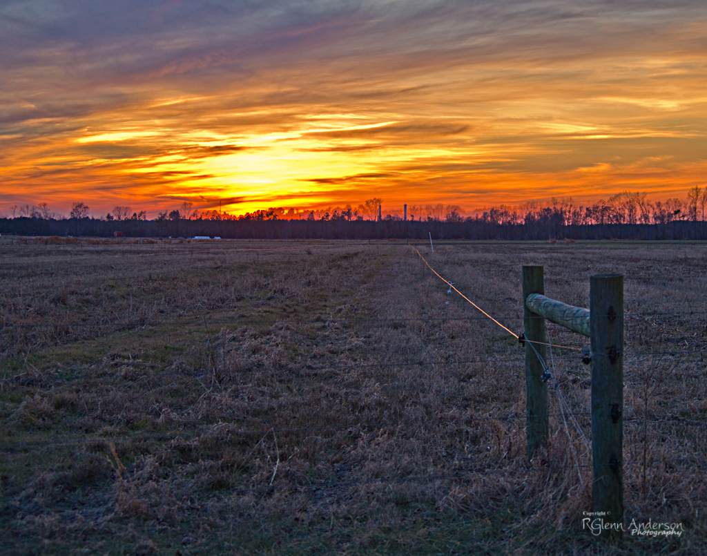
Colorful Sunrise
20151110-RD-LSC-0647
20151110-RD-LSC-0645

HF Lee Coal Ash Spill Photo 9 - 10.17.16
IT'S ELECTRIC
Raindrops - 040513-103635-RGA
Cliffs of the Neuse

IMG_9231.JPG
Swamp near Neuse River
J&J Rental
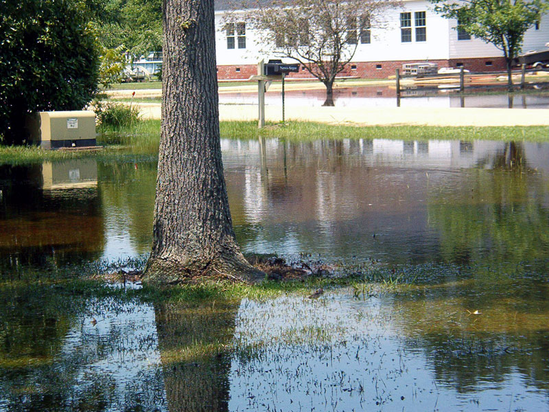
Yesterday that was a dry lawn.
Picture 010
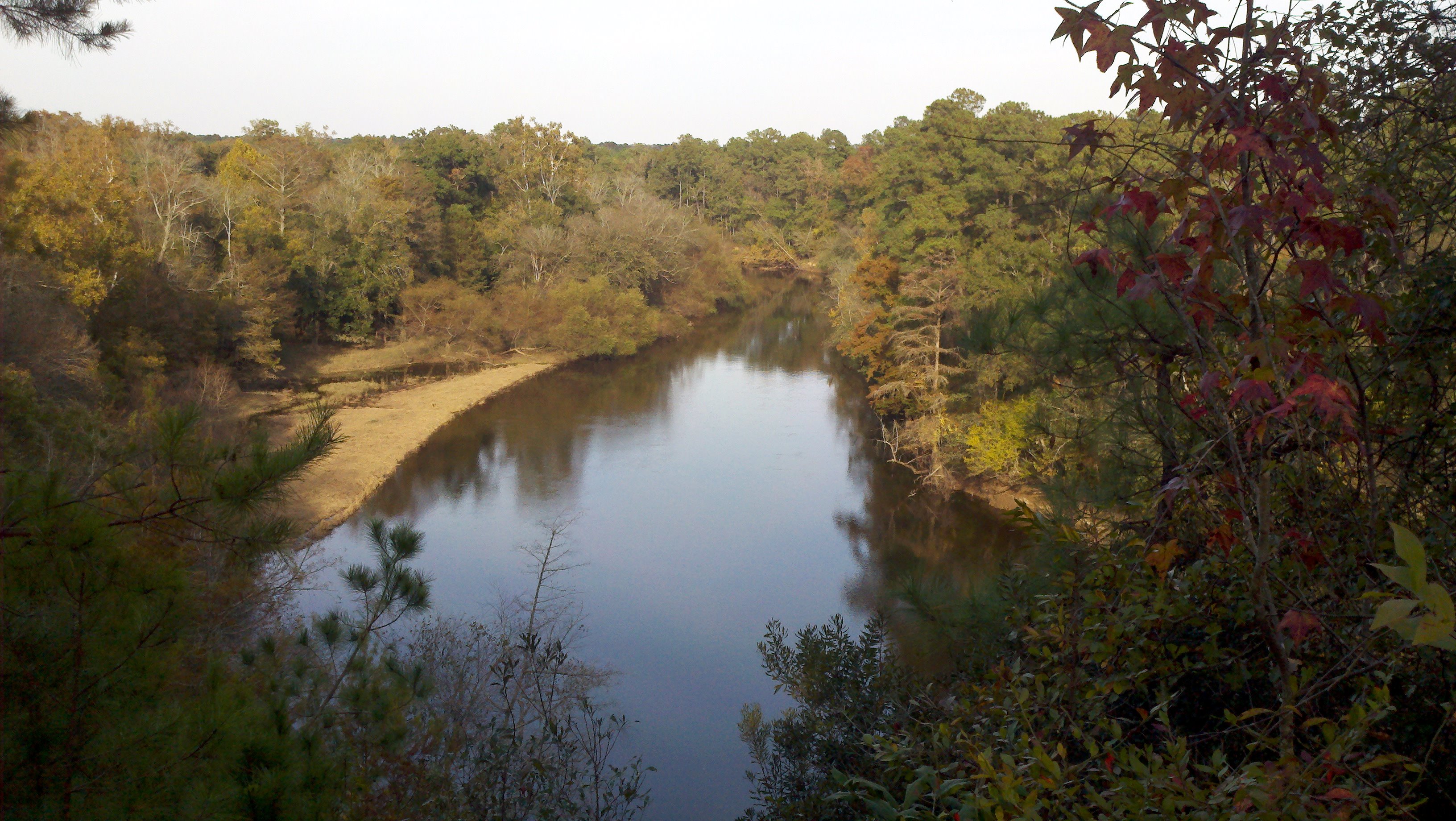
Neuse River Cliffs of the Neuse SP NC 779
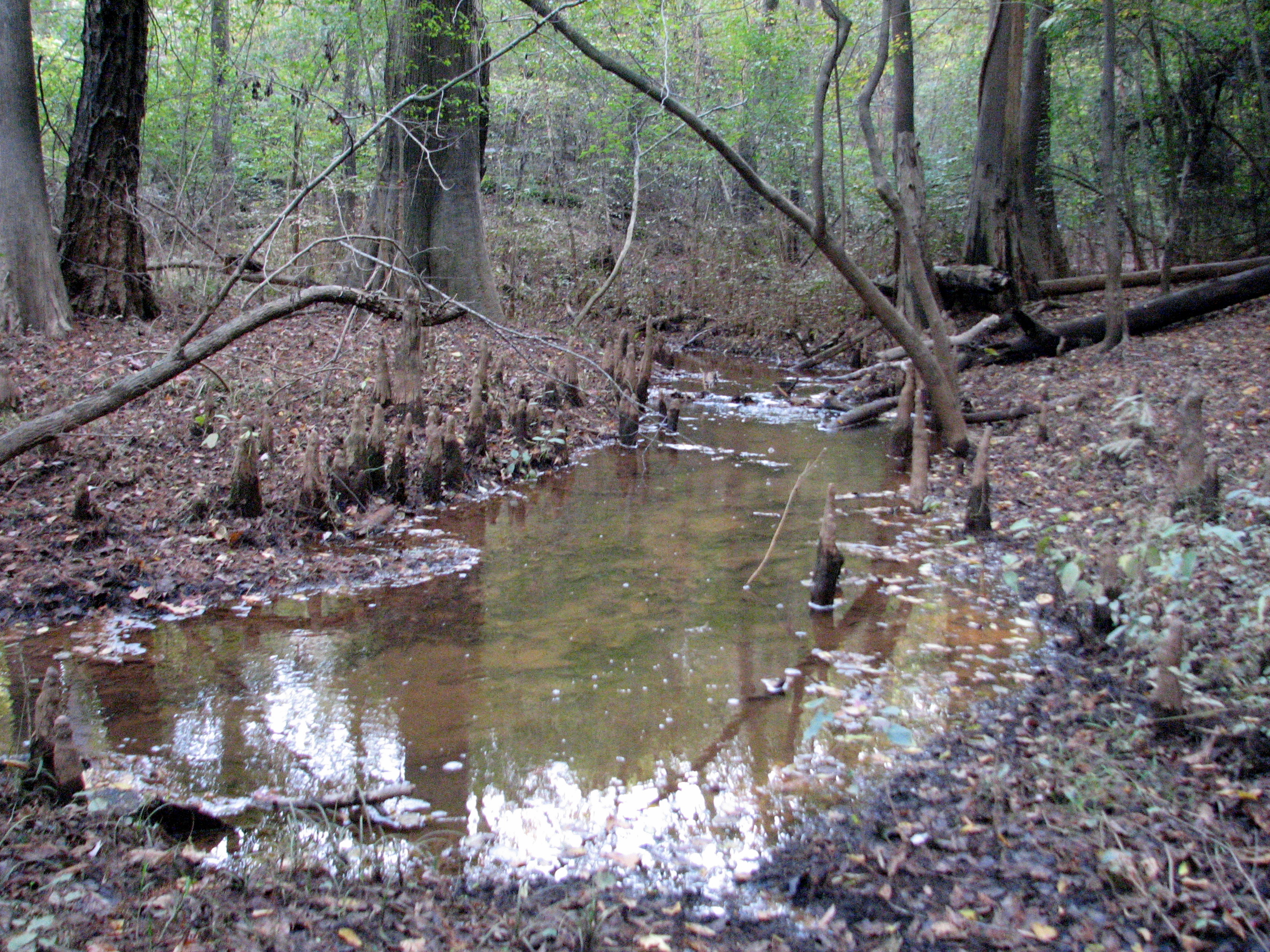
Cypress Knees on the creek Cliffs of the Neuse SP NC 0365
notched dam pit antenna
New wooden train 2

Cypress Knees on the creek Cliffs of the Neuse SP NC 0357
Cypress Knees on the creek Cliffs of the Neuse SP NC 0358
Cliffs of the Neuse
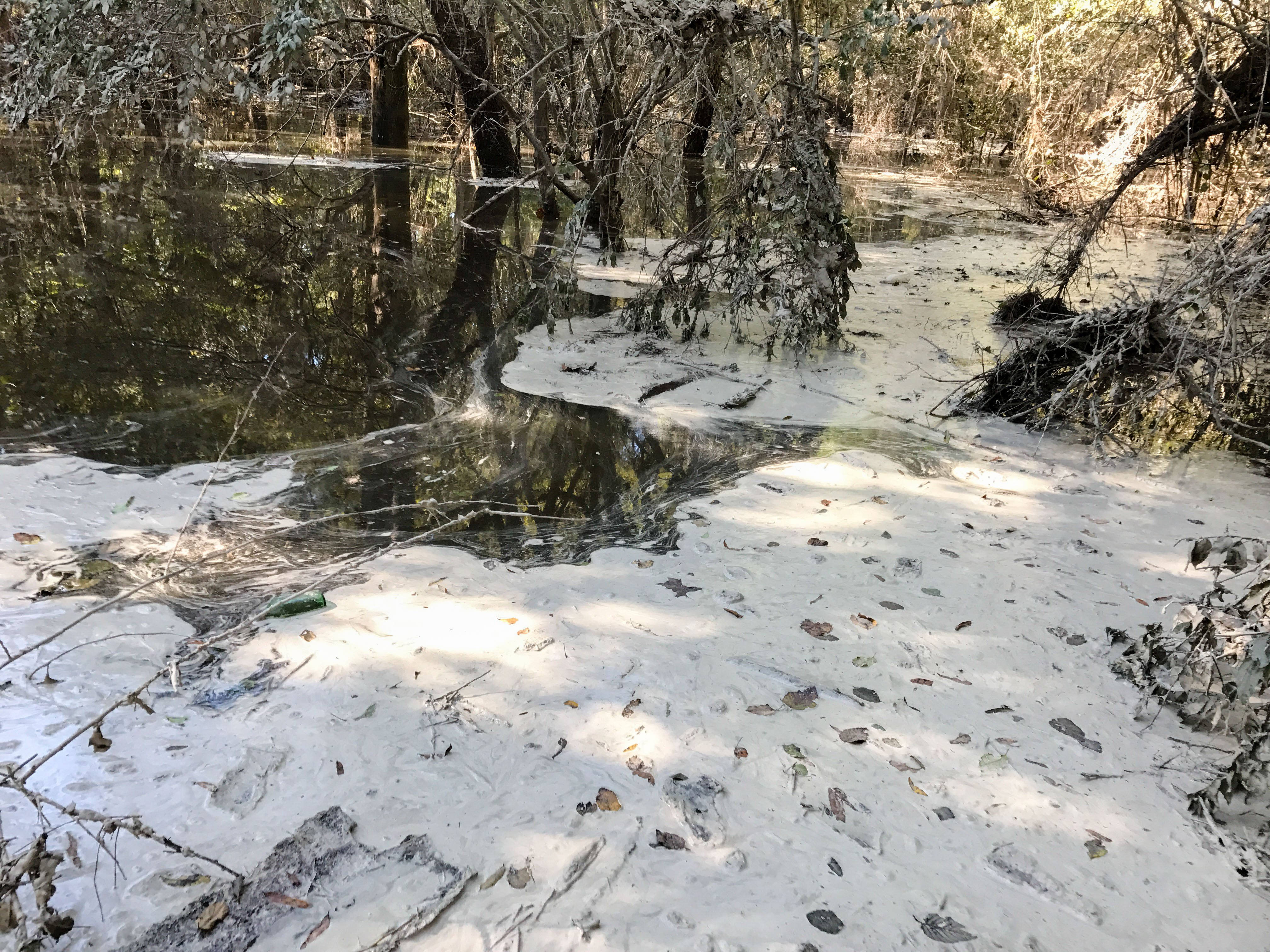
HF Lee Coal Ash Spill Photo 8 - 10.17.16
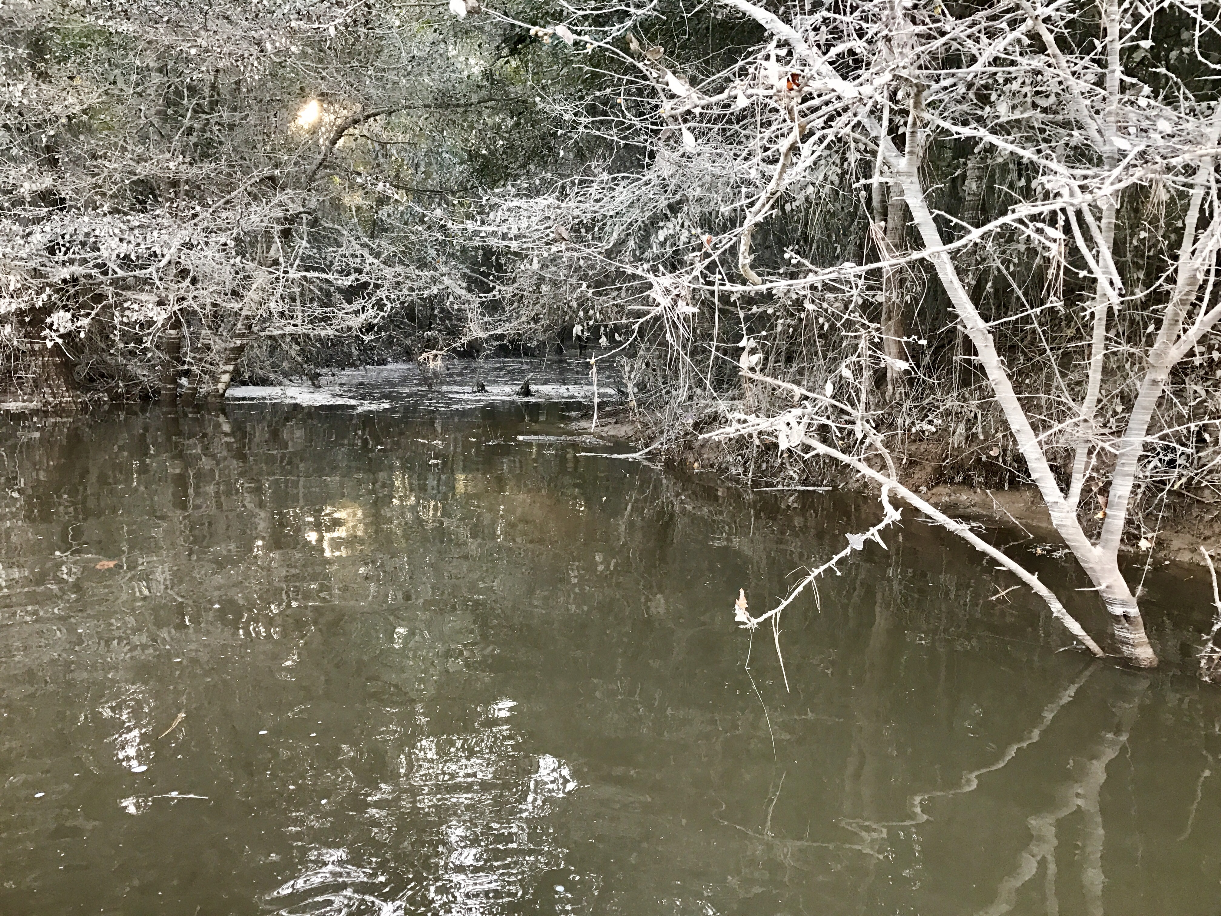
Coal Ash Spill - 10/18/16-2
Topographic Map of Arrington Bridge Rd, Dudley, NC, USA
Find elevation by address:

Places near Arrington Bridge Rd, Dudley, NC, USA:
112 Ellis Dr
Dudley, NC, USA
104 Robinson Dr
330 Pecan Rd
119 Alder Ln
119 Alder Ln
119 Alder Ln
119 Alder Ln
New Hope
640 Outlaw Rd
Outlaw Road
118 Leafwood Dr
Indian Springs Rd, Seven Springs, NC, USA
3084 Indian Springs Rd
101 Solara Dr
201 Brentwood Dr
Royall Dr, Dudley, NC, USA
Brogden
626 Lakeshore Dr
Hopewell
Recent Searches:
- Elevation of Hobbyhorse Ct, Dover, DE, USA
- Elevation of Horseshoe Ln, Dahlonega, GA, USA
- Elevation of Village Point Dr, Daphne, AL, USA
- Elevation map of Kabardino-Balkarian Republic, Russia
- Elevation of Tyrnyauz, Kabardino-Balkarian Republic, Russia
- Elevation of Sunset Dr, Hernando, MS, USA
- Elevation of Lake Rotoroa, Tasman, New Zealand
- Elevation of George St, New Bern, NC, USA
- Elevation of Cove Rd, Jasper, GA, USA
- Elevation of Cove Rd, Jasper, GA, USA