Elevation of Arlington Heights, WA, USA
Location: United States > Washington > Snohomish County >
Longitude: -122.06208
Latitude: 48.2020459
Elevation: 95m / 312feet
Barometric Pressure: 100KPa
Elevation Map:
Satellite Map:
Related Photos:

Golden Twins
Granite in Gray
Sunset through the trees
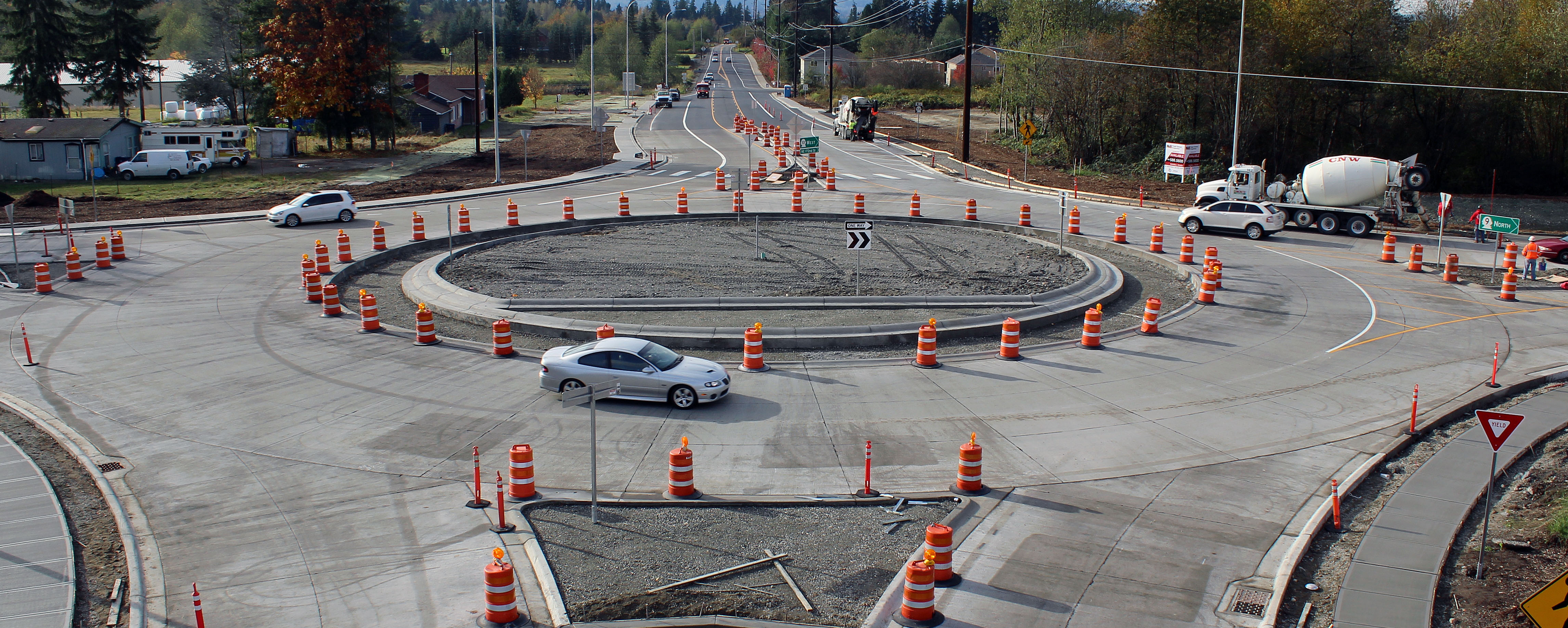
New SR 9 roundabout in Arlington

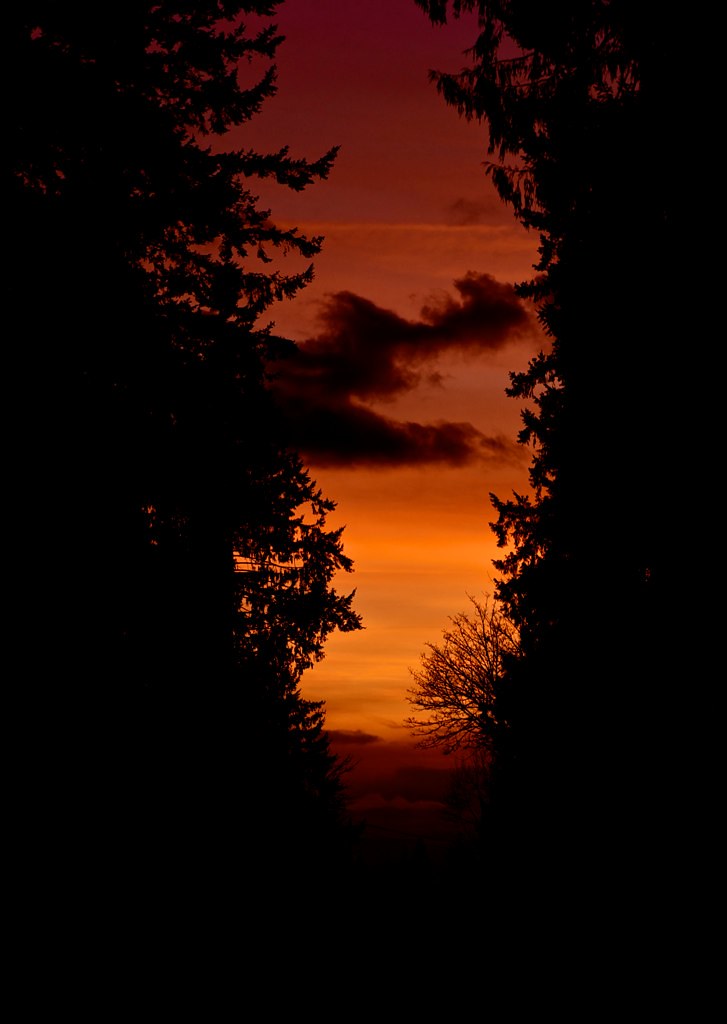
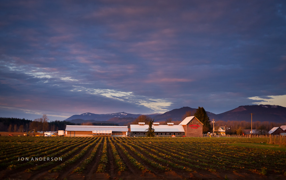
Sunset in Arlington

Diamond T Flatbed ( Explored ).

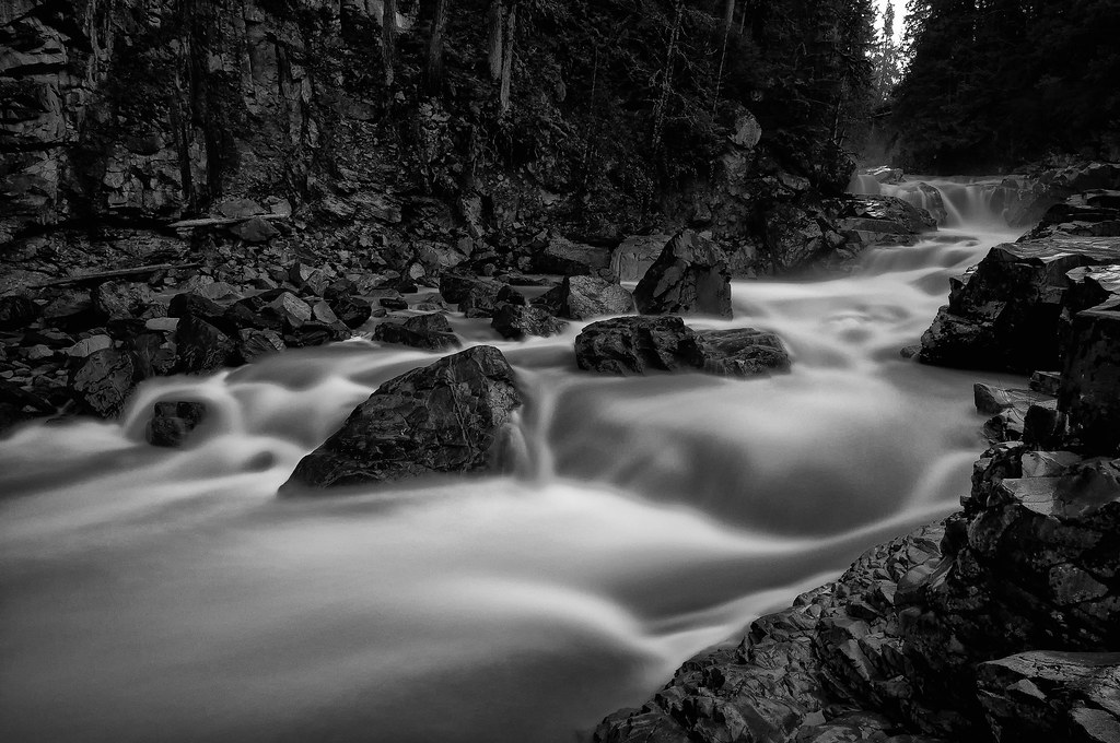
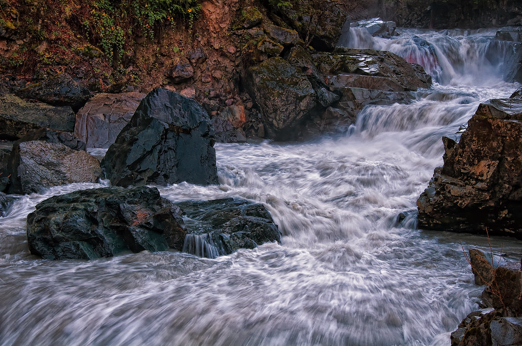
The river wild
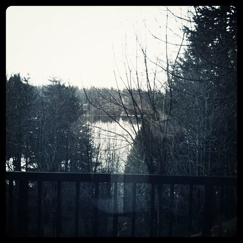
Lake View
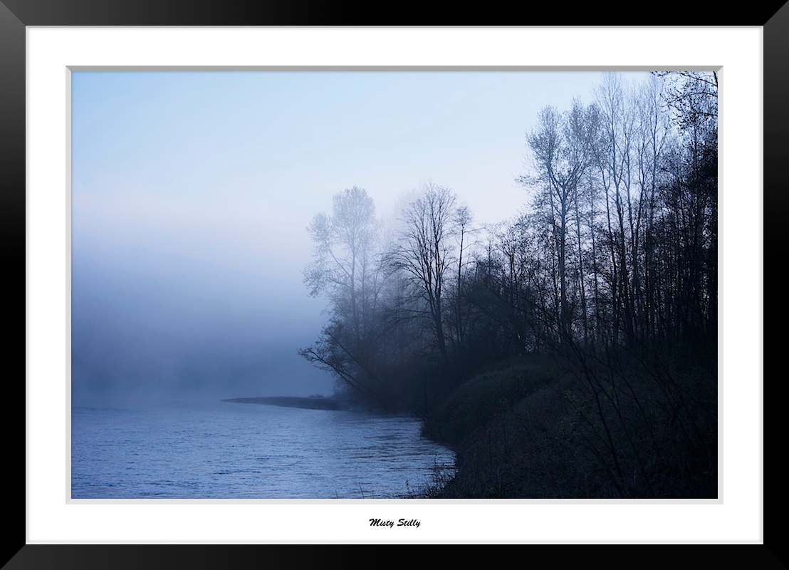
Misty Stilly
LV1293DSC00676.JPG
LV1286DSC00669.JPG

Morning Time

Dog's Eye View.
LV1312DSC00695.JPG
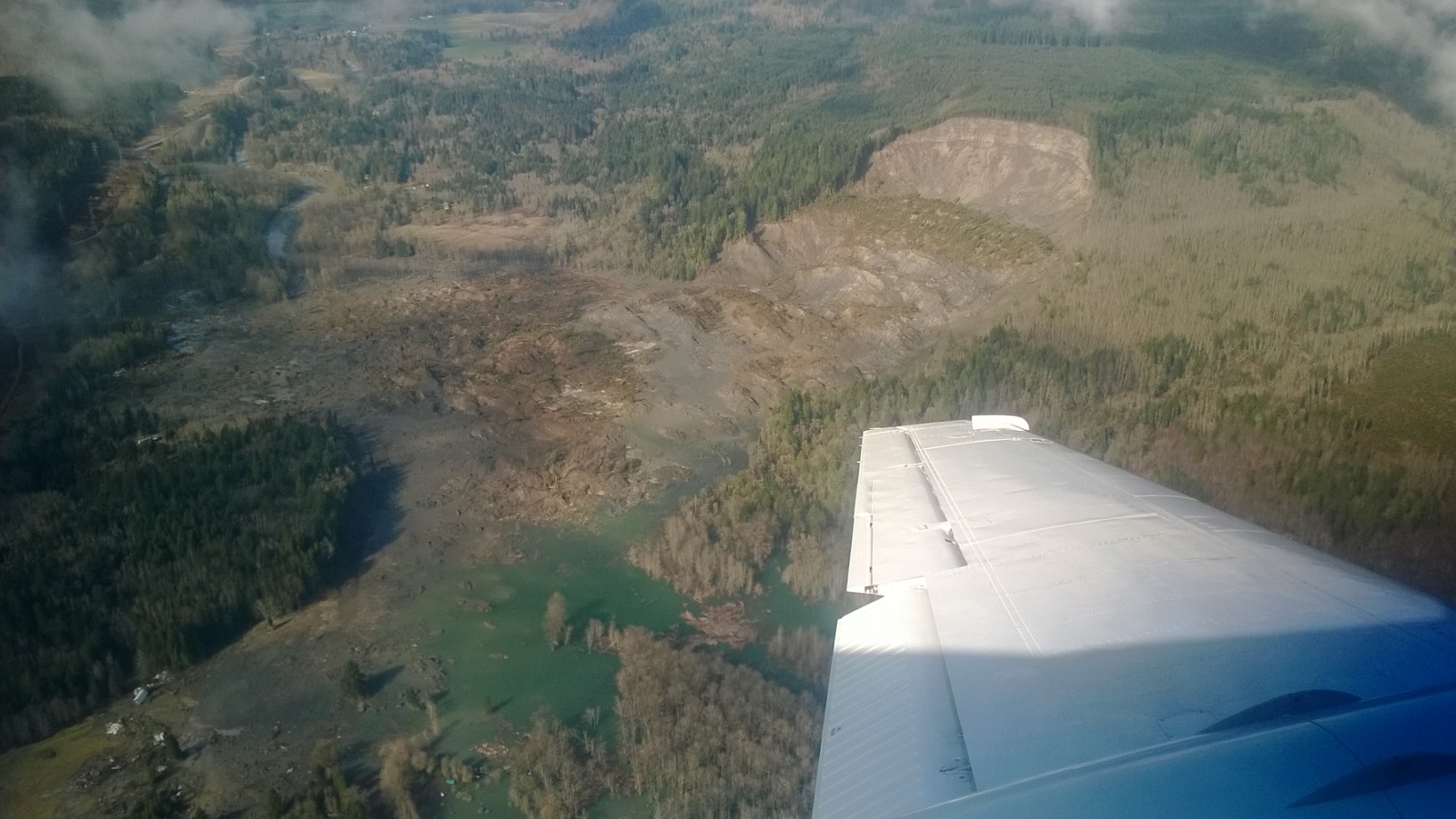
Aerial view of the mudslide

Aerial view of the mudslide
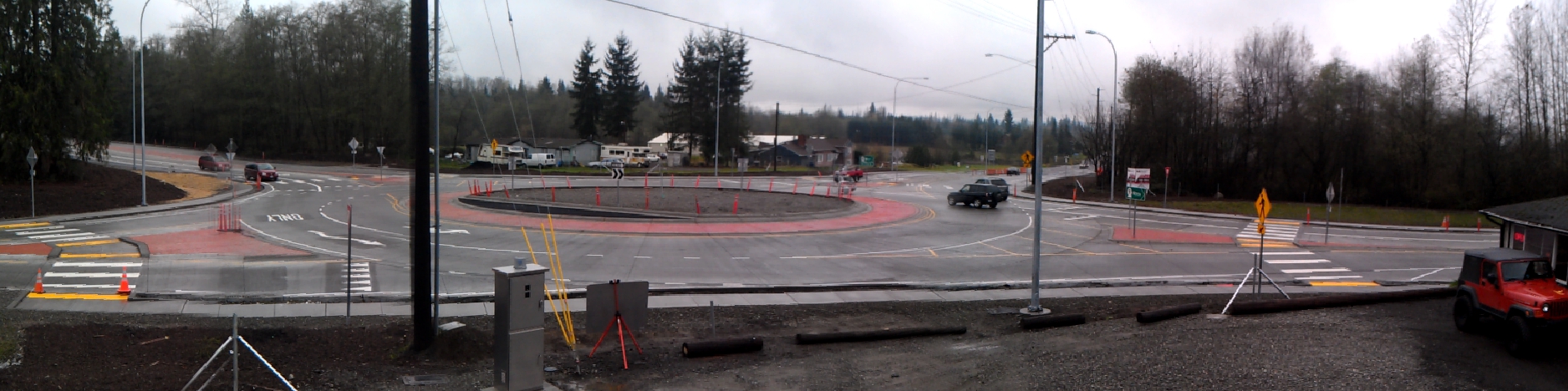
Panoramic view of new SR 9 roundabout in Arlington
DSC06167.JPG
DSC06275.JPG
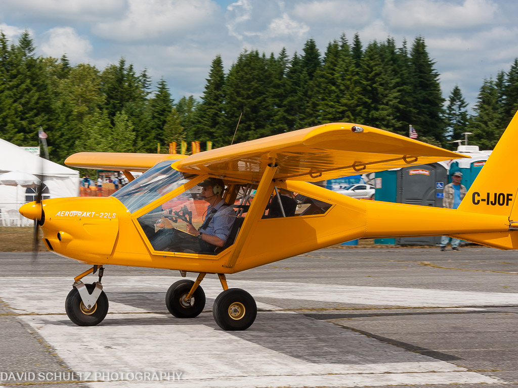
2011 KGA Foxbat A22 C-IJOF
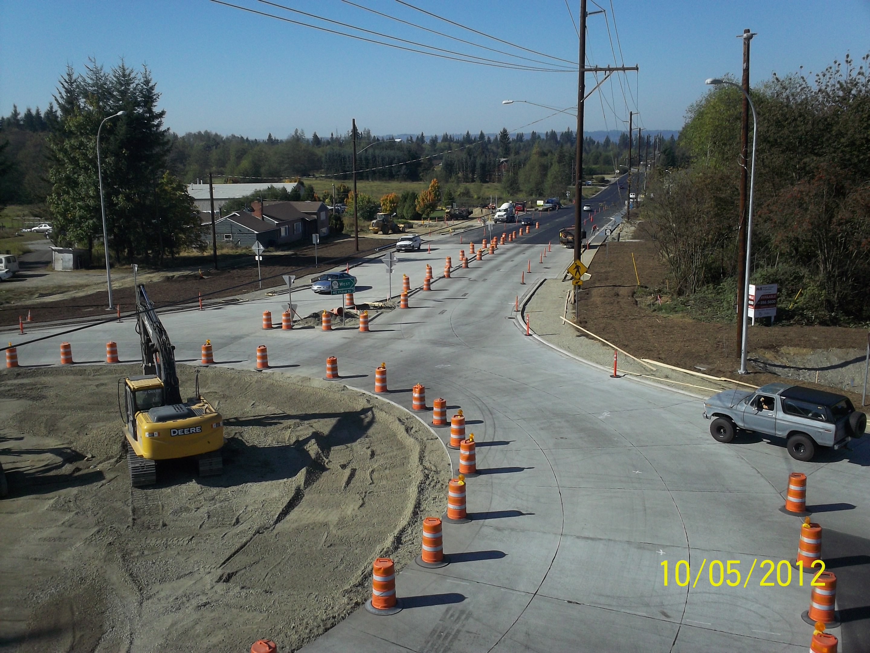
Aerial view: Orange barrels guide drivers through new SR 9 roundabout

Calm Stilly

Fall Barn
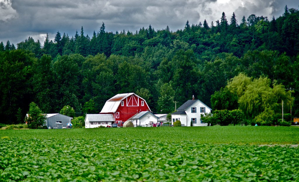
Biringer Farms, Arlington WA

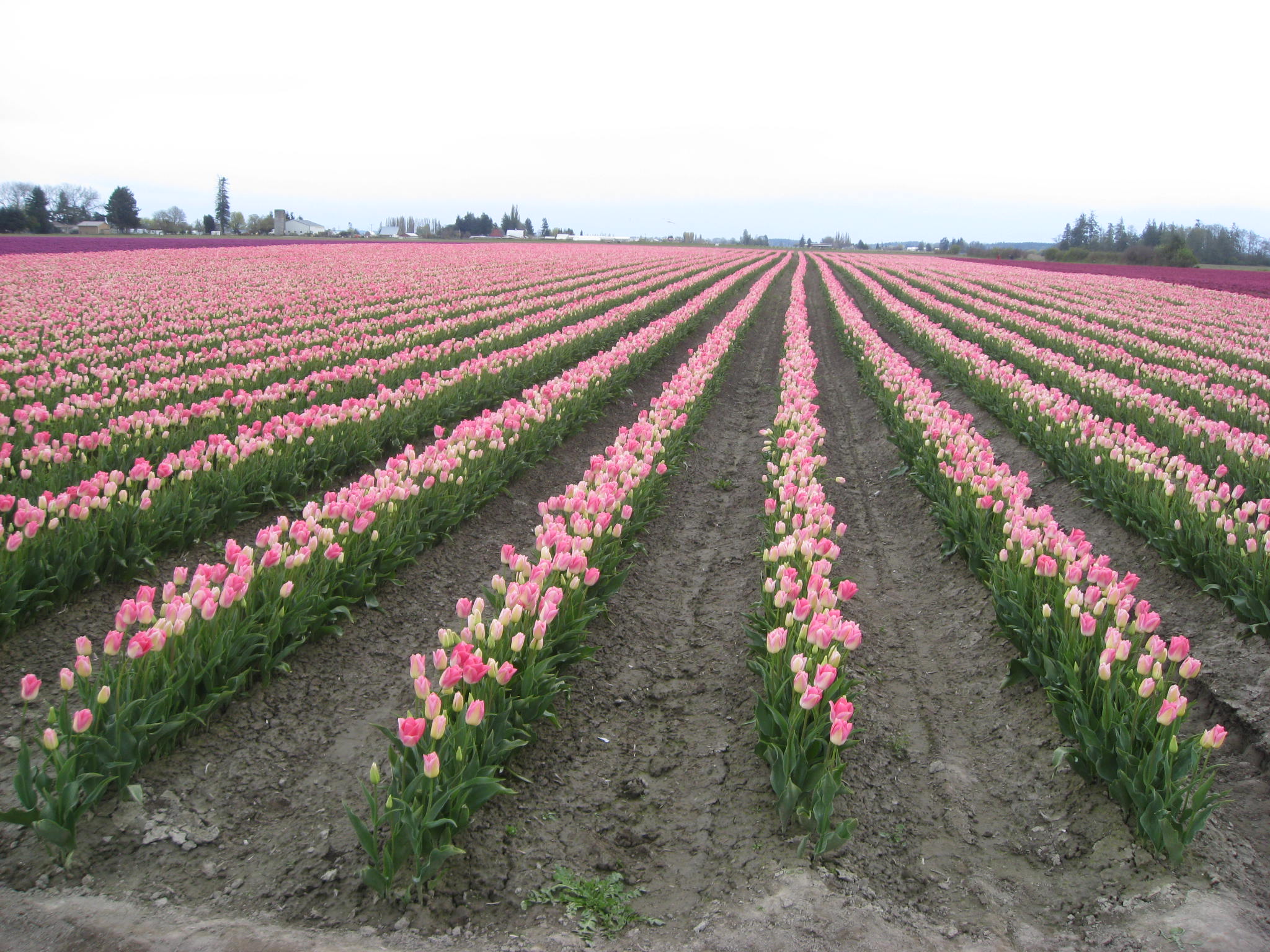
Tulips Sunrise
stillaguamish valley farm
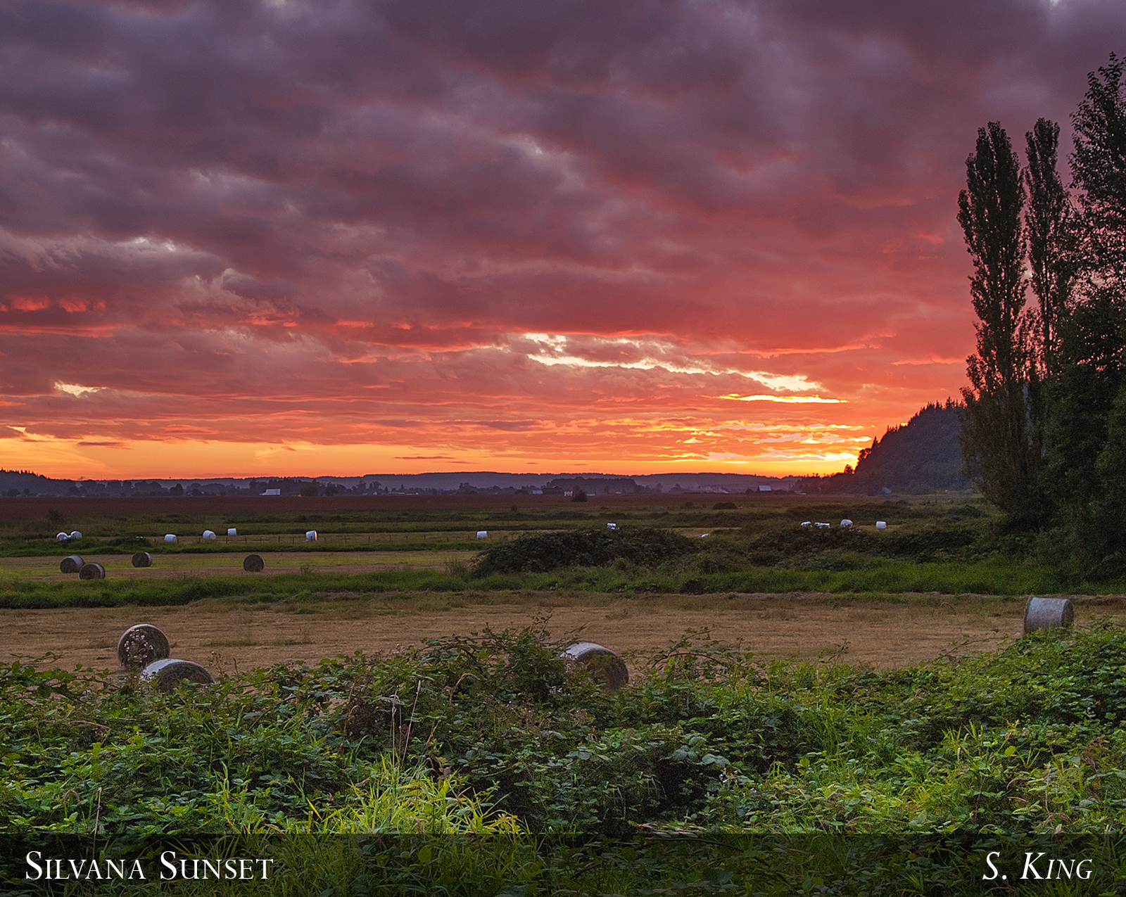
Silvana Sunset
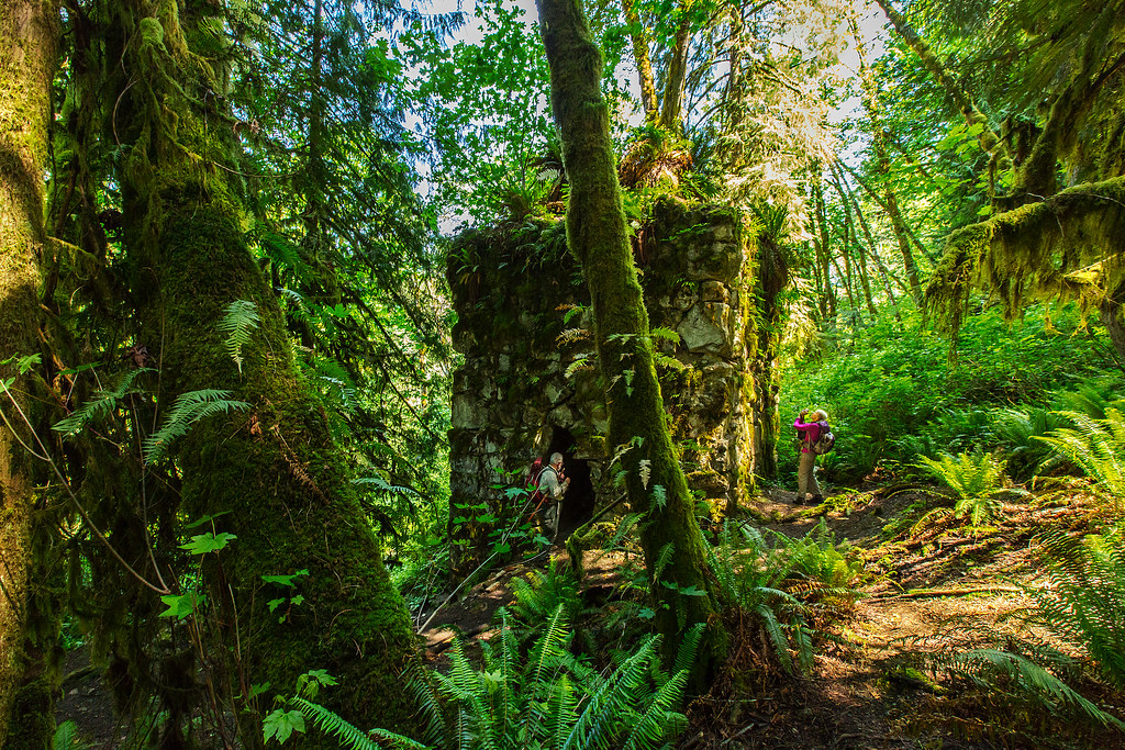
The Lime Kiln

Granite Falls
Traveling Toward the Sun
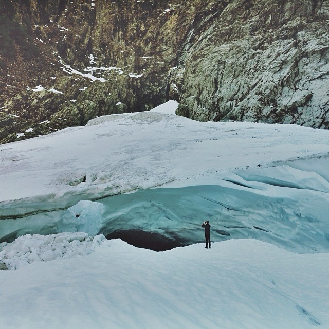
Big ol caves.
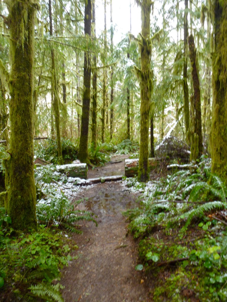
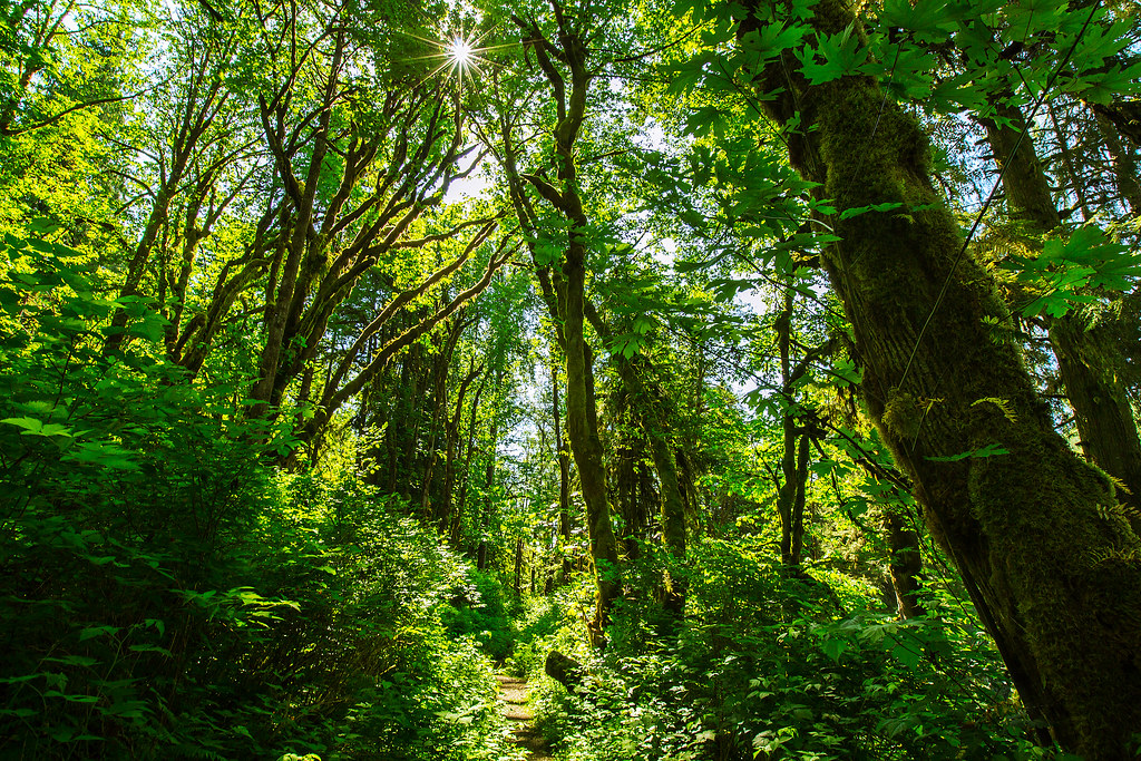
The Trail
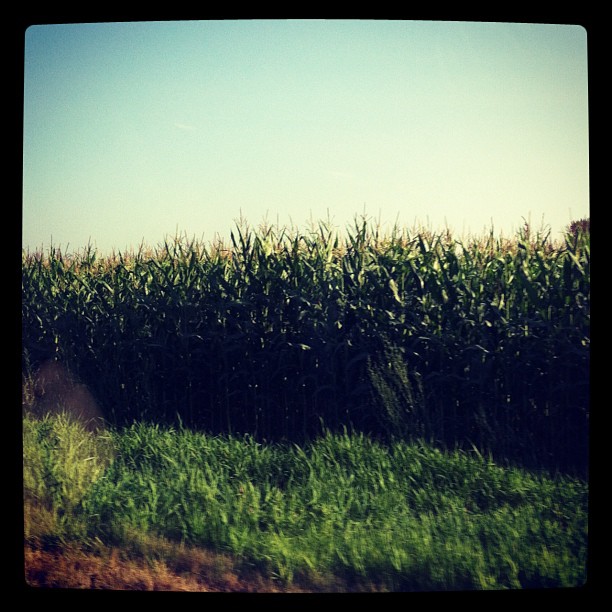
Passed a lot of these today to go see family. #corn #snohomishcounty
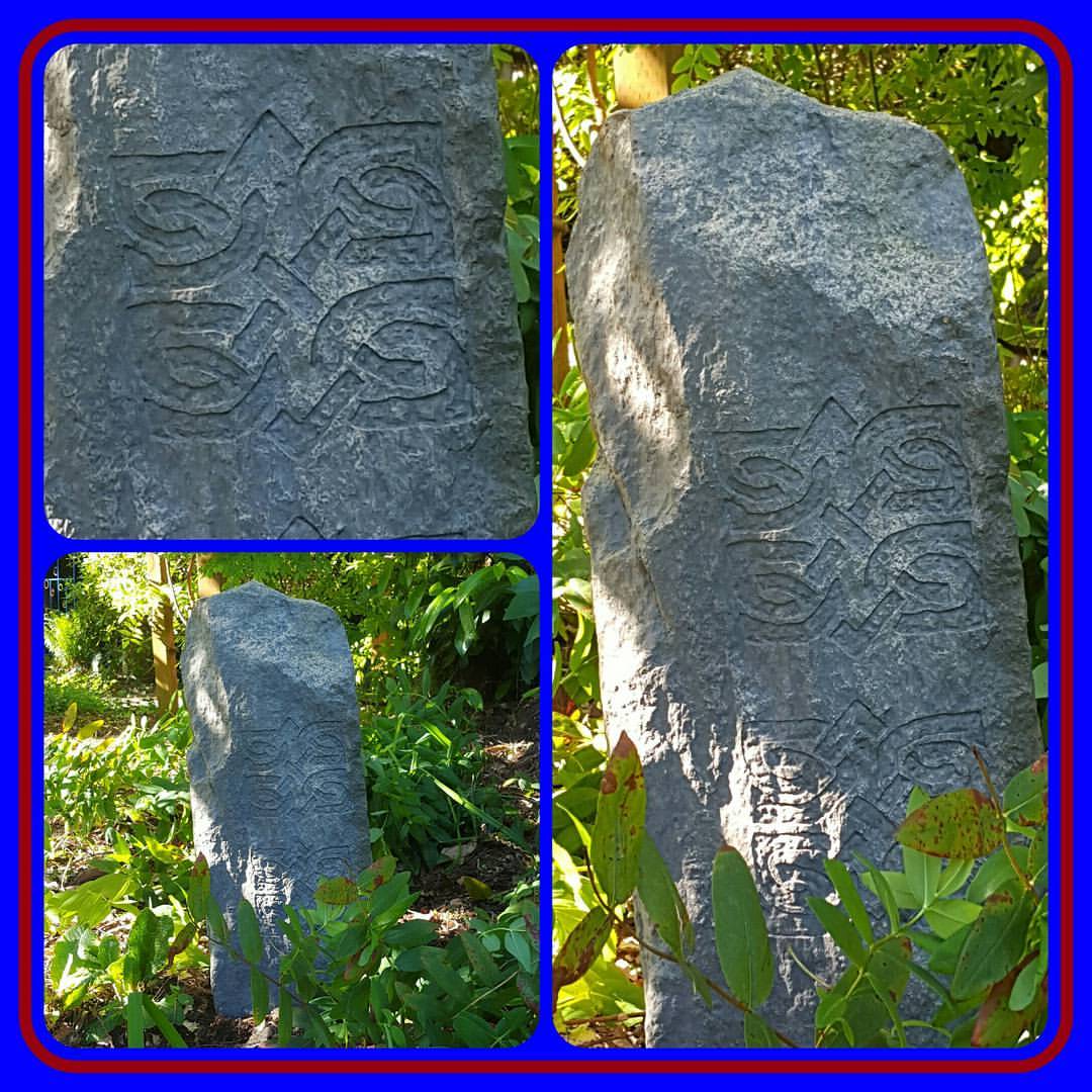
#infusionstudiollc #dylan #saintd #masterpiercer #rock #rocks #carving #naturelovers #gardener #gardening #landscape #decor #fake #fiberglass #selfmade #plants #flowers
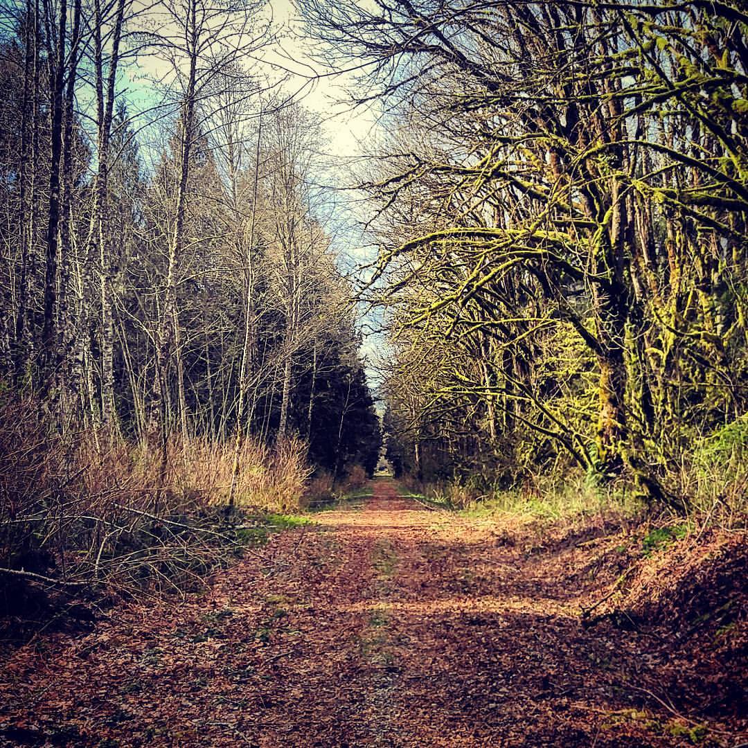
Out for a walk... #pnw
The rush
Tulipas cor-de-rosa

Tulpen Plantage
Topographic Map of Arlington Heights, WA, USA
Find elevation by address:

Places in Arlington Heights, WA, USA:
Places near Arlington Heights, WA, USA:
135th Avenue Northeast
10932 233rd St Ne
10825 Homestead Rd
24800 Jim Creek Rd
10915 Moran Rd
22400 Wallitner Rd
13030 Jim Creek Rd
19110 106th Ave Ne
Jim Creek Rd, Arlington, WA, USA
18711 Zaretzke Rd
20313 97th Ave Ne
20312 97th Ave Ne
10208 190th St Ne
1210 E 5th St
Burn Road
Arlington
20503 Lois Ln
Haller Park
19506 Knoll Dr
7900 200th St Ne
Recent Searches:
- Elevation of W Granada St, Tampa, FL, USA
- Elevation of Pykes Down, Ivybridge PL21 0BY, UK
- Elevation of Jalan Senandin, Lutong, Miri, Sarawak, Malaysia
- Elevation of Bilohirs'k
- Elevation of 30 Oak Lawn Dr, Barkhamsted, CT, USA
- Elevation of Luther Road, Luther Rd, Auburn, CA, USA
- Elevation of Unnamed Road, Respublika Severnaya Osetiya — Alaniya, Russia
- Elevation of Verkhny Fiagdon, North Ossetia–Alania Republic, Russia
- Elevation of F. Viola Hiway, San Rafael, Bulacan, Philippines
- Elevation of Herbage Dr, Gulfport, MS, USA