Elevation of Ariyalur, Tamil Nadu, India
Location: India > Tamil Nadu > Ariyalur >
Longitude: 79.0786281
Latitude: 11.1400585
Elevation: 81m / 266feet
Barometric Pressure: 100KPa
Elevation Map:
Satellite Map:
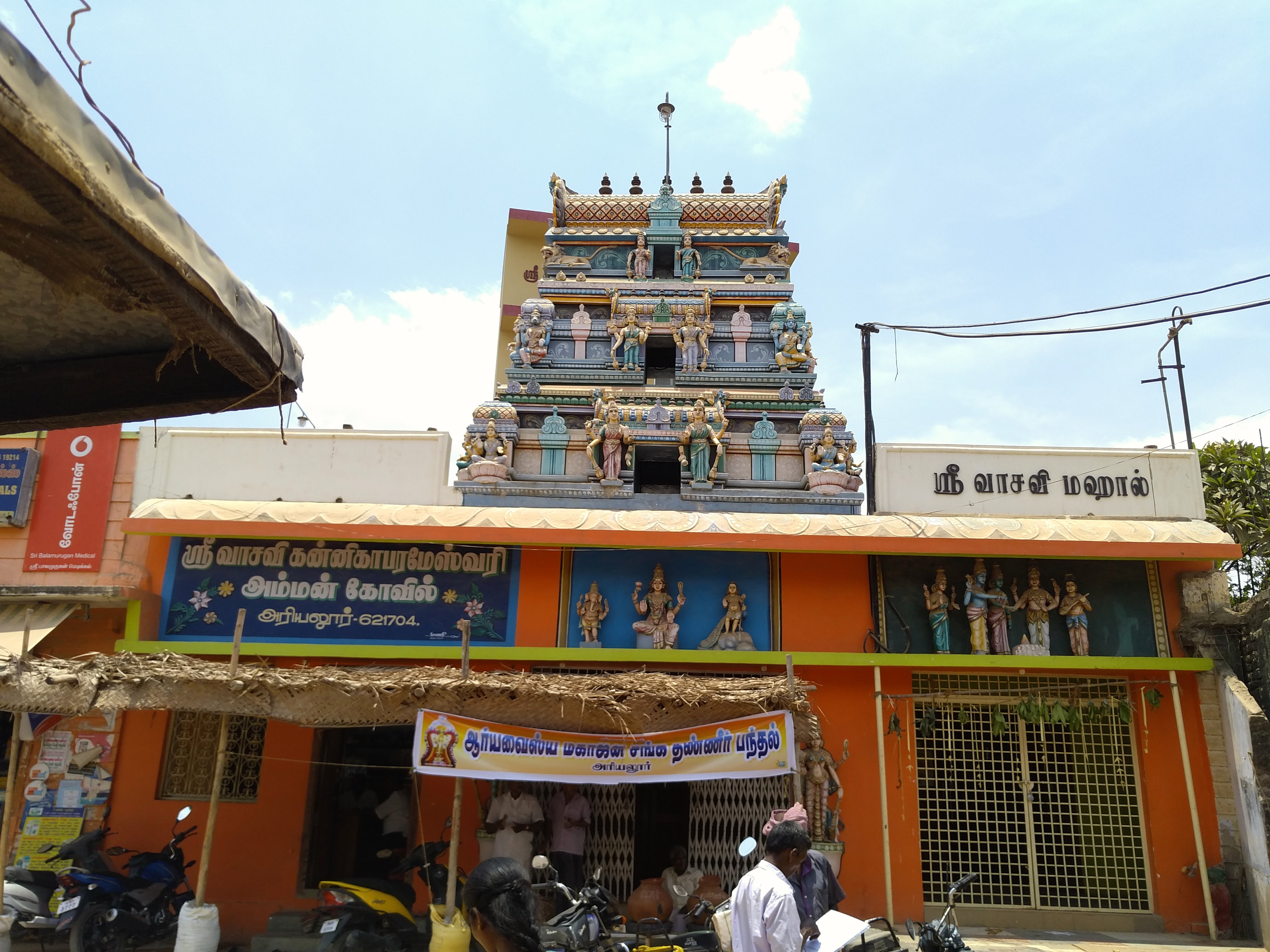
Related Photos:

2016-09-21_08-09-22

அம்மாவுடன் மணி

2016-07-12_10-47-16

2016-06-15_06-13-18

2016-06-15_06-12-39

2016-05-08_07-42-02
2016-04-26_12-31-11
2016-04-19_11-35-23
2016-04-19_11-35-04

2016-04-11_06-00-07

2016-04-11_05-59-43

2016-03-29_08-40-58

2016-03-29_08-39-58

2016-03-14_09-07-25

திரு.ரெங்கராஜன் அவர்கள்
Topographic Map of Ariyalur, Tamil Nadu, India
Find elevation by address:

Places near Ariyalur, Tamil Nadu, India:
Perambalur
Kallakudi
Thirumanur
Ariyalur
Perambalur
Pullambadi
Kumbakonam
Thanjavur
Neelagiri
New Housing Unit
Karups Nagar
Hyders Park - The Business Hotel
Ammapettai
Kailasapuram
Bhel Tiruchy Township
Bhel Township Main Entrance Double Road
National Institute Of Technology Tiruchirappalli
Thiruverumbur
Thanjavur
Gandharvakottai
Recent Searches:
- Elevation of Congressional Dr, Stevensville, MD, USA
- Elevation of Bellview Rd, McLean, VA, USA
- Elevation of Stage Island Rd, Chatham, MA, USA
- Elevation of Shibuya Scramble Crossing, 21 Udagawacho, Shibuya City, Tokyo -, Japan
- Elevation of Jadagoniai, Kaunas District Municipality, Lithuania
- Elevation of Pagonija rock, Kranto 7-oji g. 8"N, Kaunas, Lithuania
- Elevation of Co Rd 87, Jamestown, CO, USA
- Elevation of Tenjo, Cundinamarca, Colombia
- Elevation of Côte-des-Neiges, Montreal, QC H4A 3J6, Canada
- Elevation of Bobcat Dr, Helena, MT, USA