Elevation of Argosy Mountain, Montana, USA
Location: United States > Montana > Hungry Horse >
Longitude: -113.23952
Latitude: 48.0038374
Elevation: 2357m / 7733feet
Barometric Pressure: 76KPa
Elevation Map:
Satellite Map:
Related Photos:

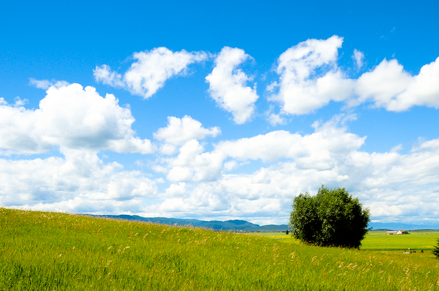
Good Morning
2011KELLYNELSONW 020

Tent camping on a moonlight night in the Great Bear Wilderness area of Montana. This image was enhanced using Adobe Photoshop Lightroom and Adobe Photoshop CS5.<br/><br/>Learn more about my digital photography field workshops and Adobe Photoshop Lightroo
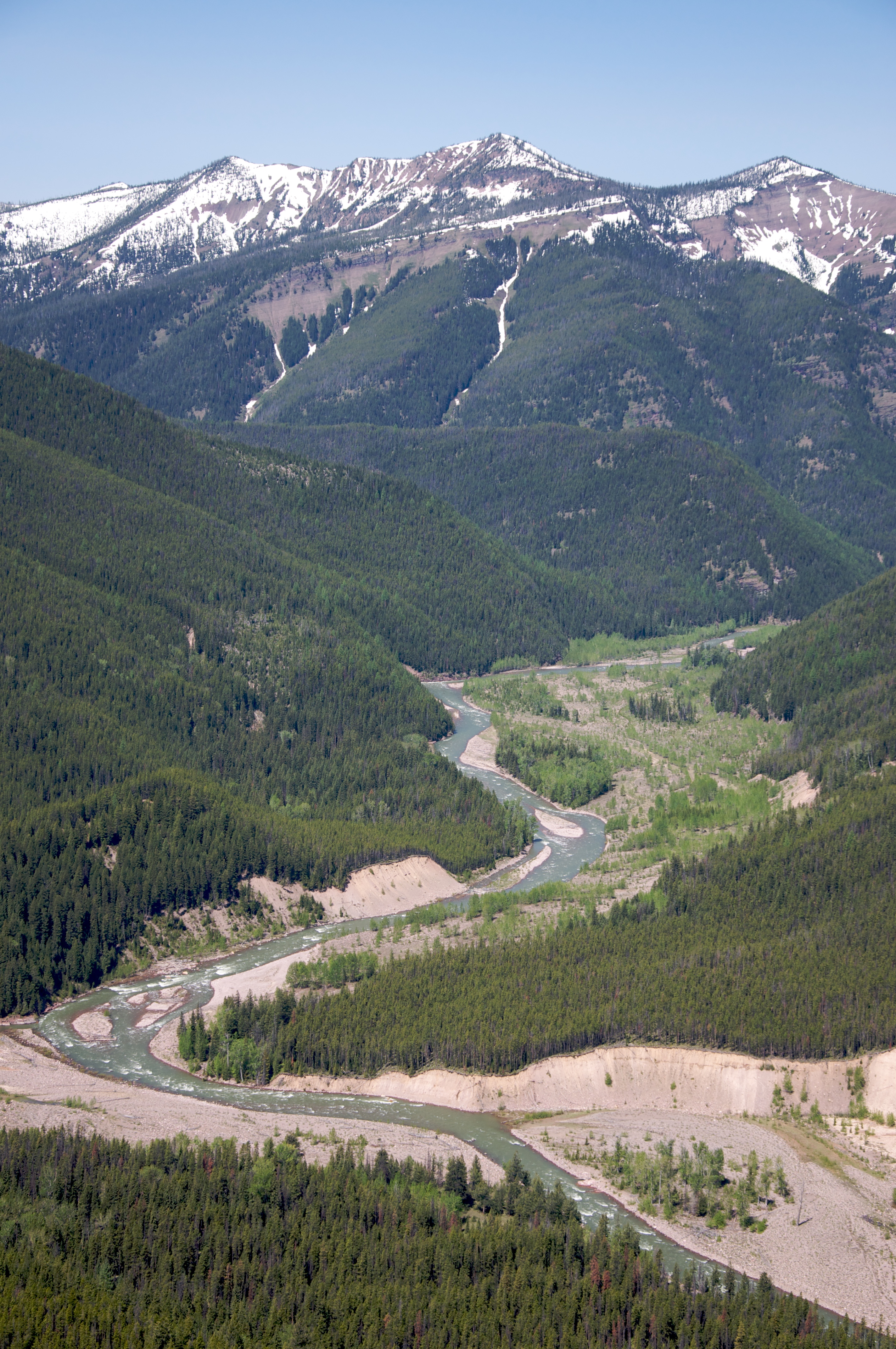
Flathead River, Montana

Flathead River forks confluence
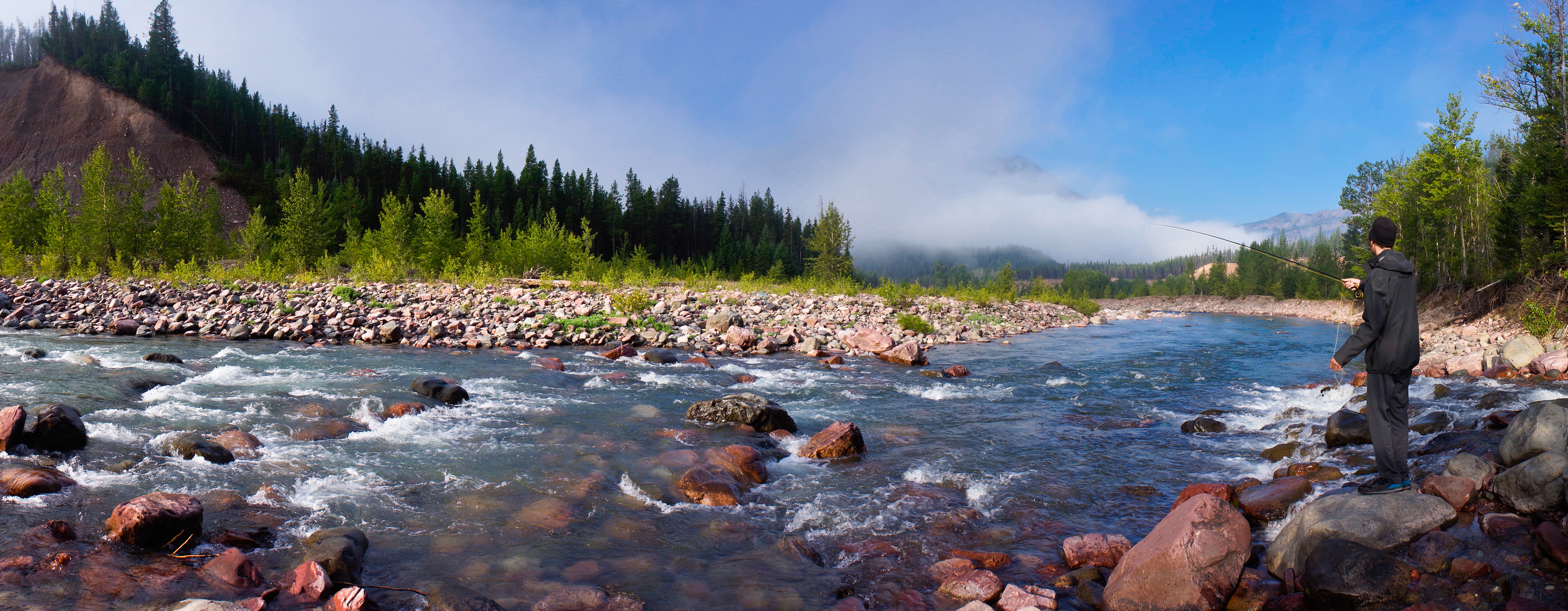
Fishing Three Forks
Middle Fork of the Flathead River
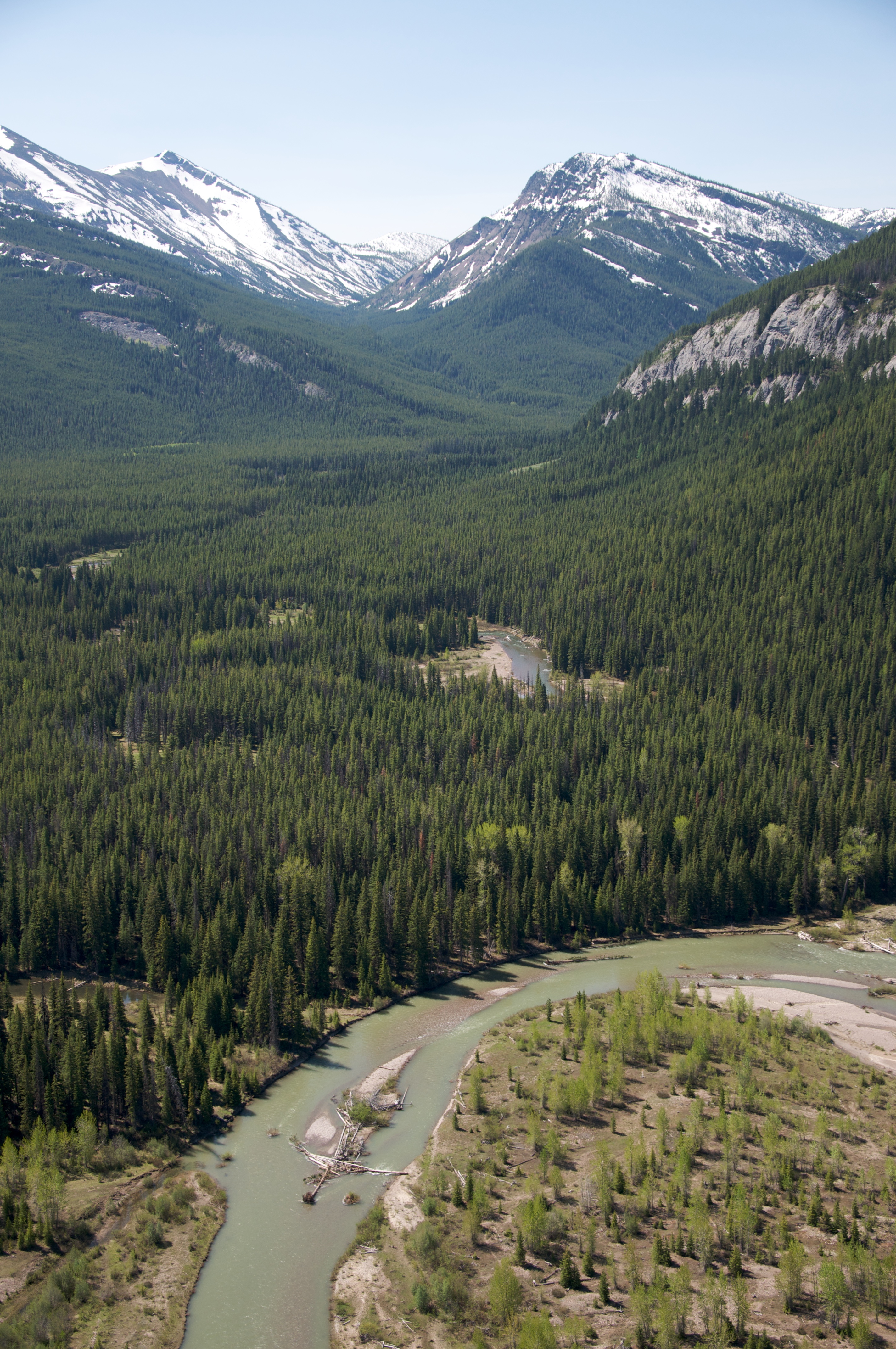
Somewhere in the Great Bear Wilderness
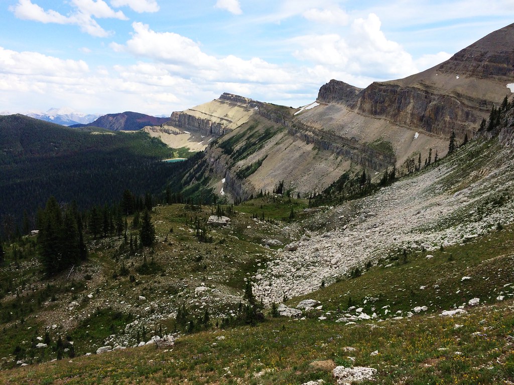
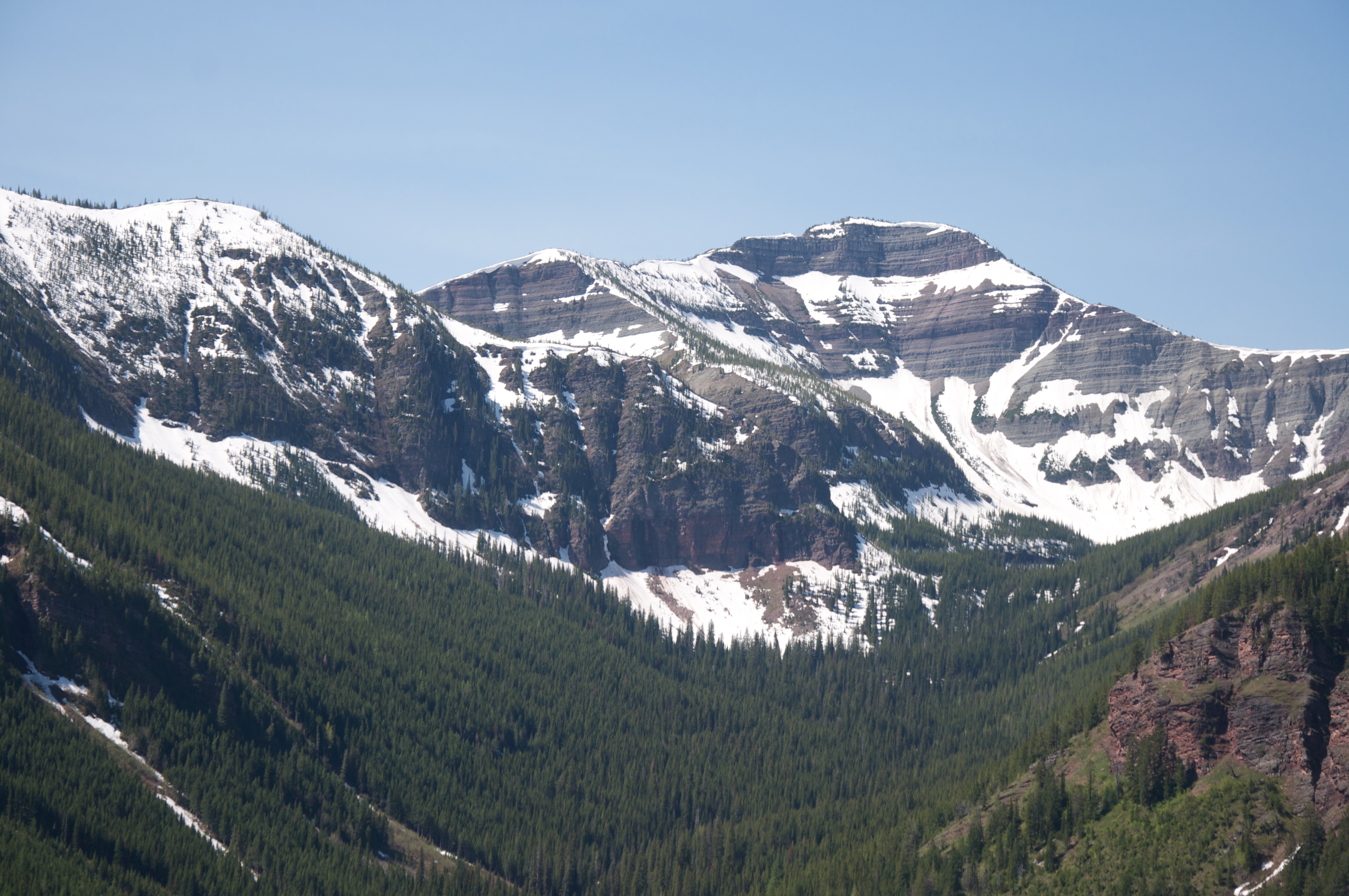
Up Switchback Pass during the 53-mile Run Across The Bob
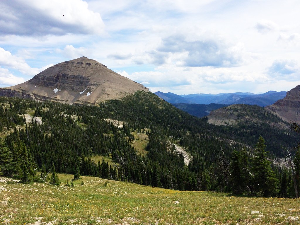
Up Switchback Pass during the 53-mile Run Across The Bob
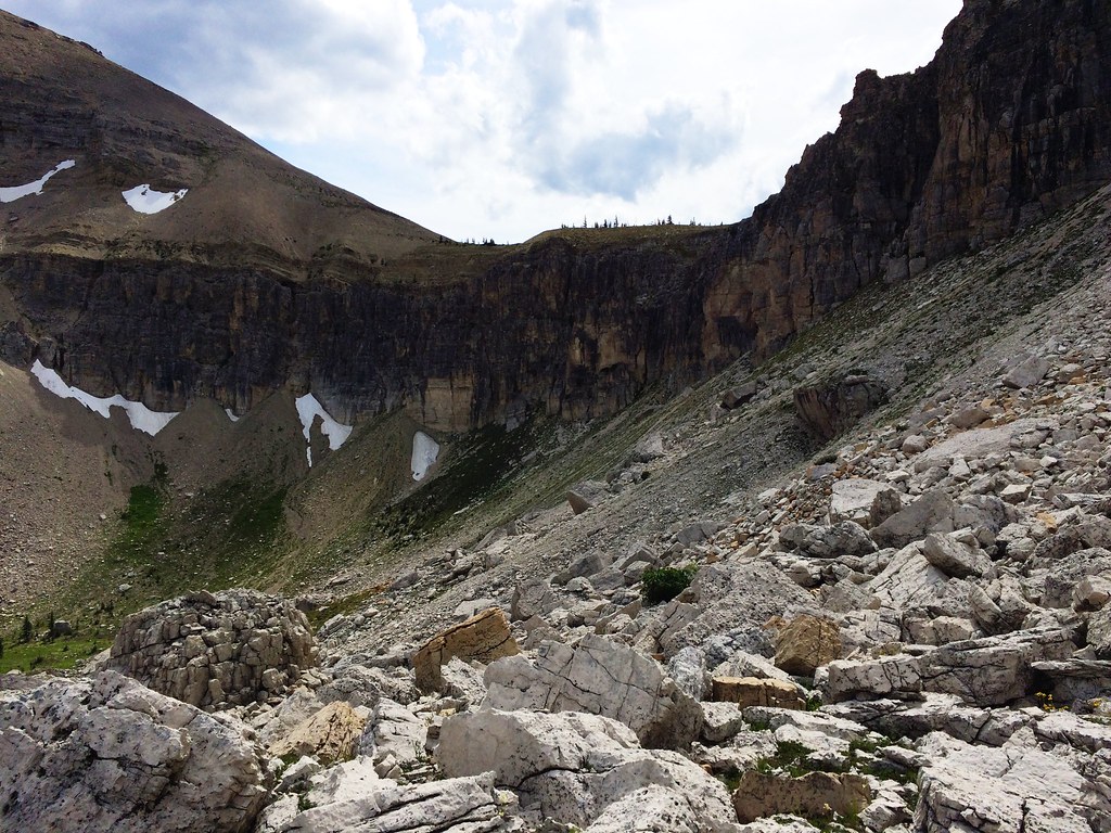
Up Switchback Pass during the 53-mile Run Across The Bob
Topographic Map of Argosy Mountain, Montana, USA
Find elevation by address:

Places near Argosy Mountain, Montana, USA:
Dean Ridge
Elk Ridge
Silvertip Cabin
Whitcomb Peak
Limestone Peak
Wildrose Mountain
Sergeant Mountain
Red Plume Mountain
Big Lodge Mountain
Crescent Cliff
Bent Mountain
Kevan Mountain
Bow Mountain
Mid Mountain
Spy Mountain
Slippery Bill Mountain South
Trinity Mountain South
Angle Point
Horseshoe Peak
Ibex Mountain
Recent Searches:
- Elevation of Corso Fratelli Cairoli, 35, Macerata MC, Italy
- Elevation of Tallevast Rd, Sarasota, FL, USA
- Elevation of 4th St E, Sonoma, CA, USA
- Elevation of Black Hollow Rd, Pennsdale, PA, USA
- Elevation of Oakland Ave, Williamsport, PA, USA
- Elevation of Pedrógão Grande, Portugal
- Elevation of Klee Dr, Martinsburg, WV, USA
- Elevation of Via Roma, Pieranica CR, Italy
- Elevation of Tavkvetili Mountain, Georgia
- Elevation of Hartfords Bluff Cir, Mt Pleasant, SC, USA