Elevation of Archer St, Lehigh Acres, FL, USA
Location: United States > Florida > Lee County > Lehigh Acres > Joel >
Longitude: -81.598816
Latitude: 26.6015815
Elevation: 7m / 23feet
Barometric Pressure: 101KPa
Elevation Map:
Satellite Map:
Related Photos:

I am going to miss this view. #Palms #Florida #Sun

The Caloosahatchee from the Alva Bridge
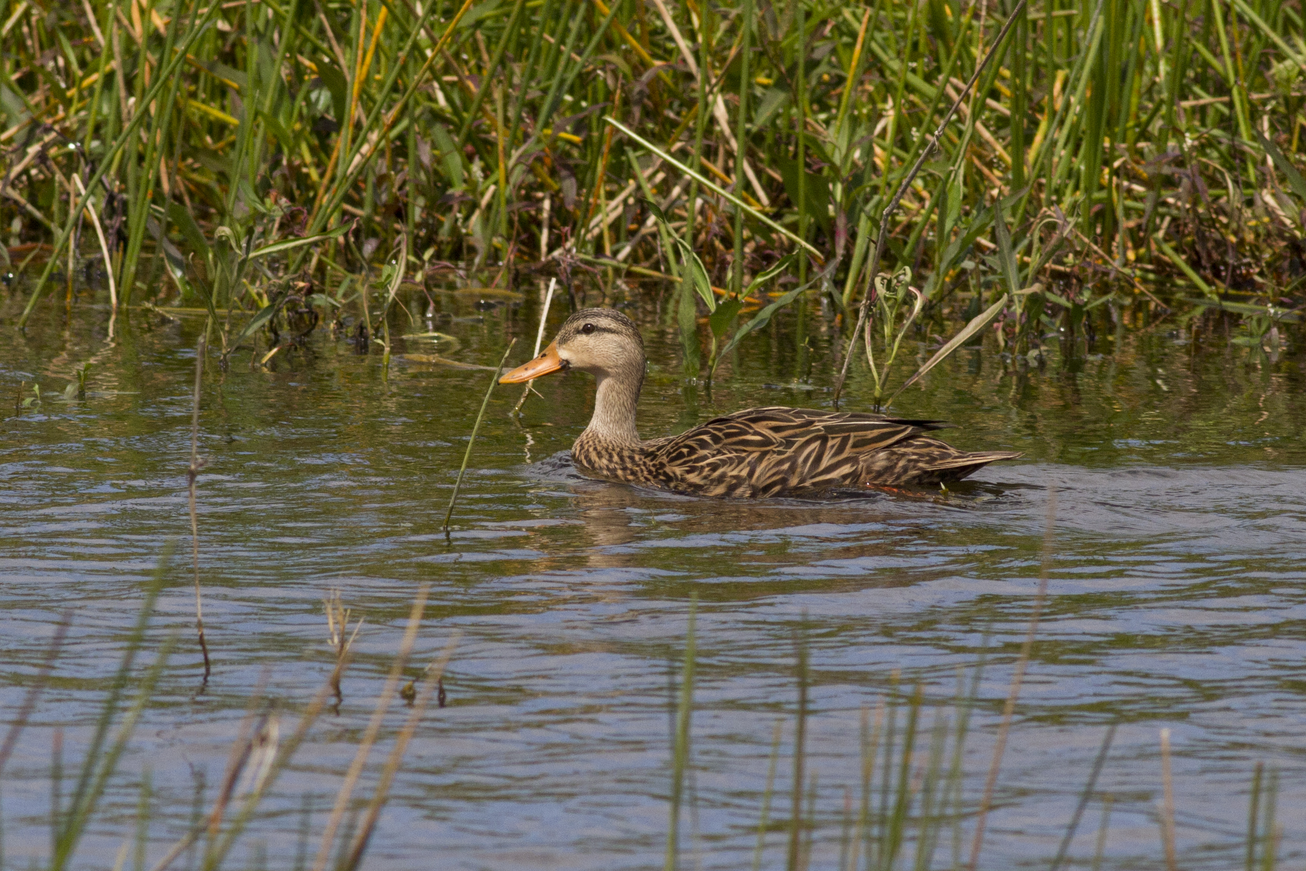
Mottled Duck

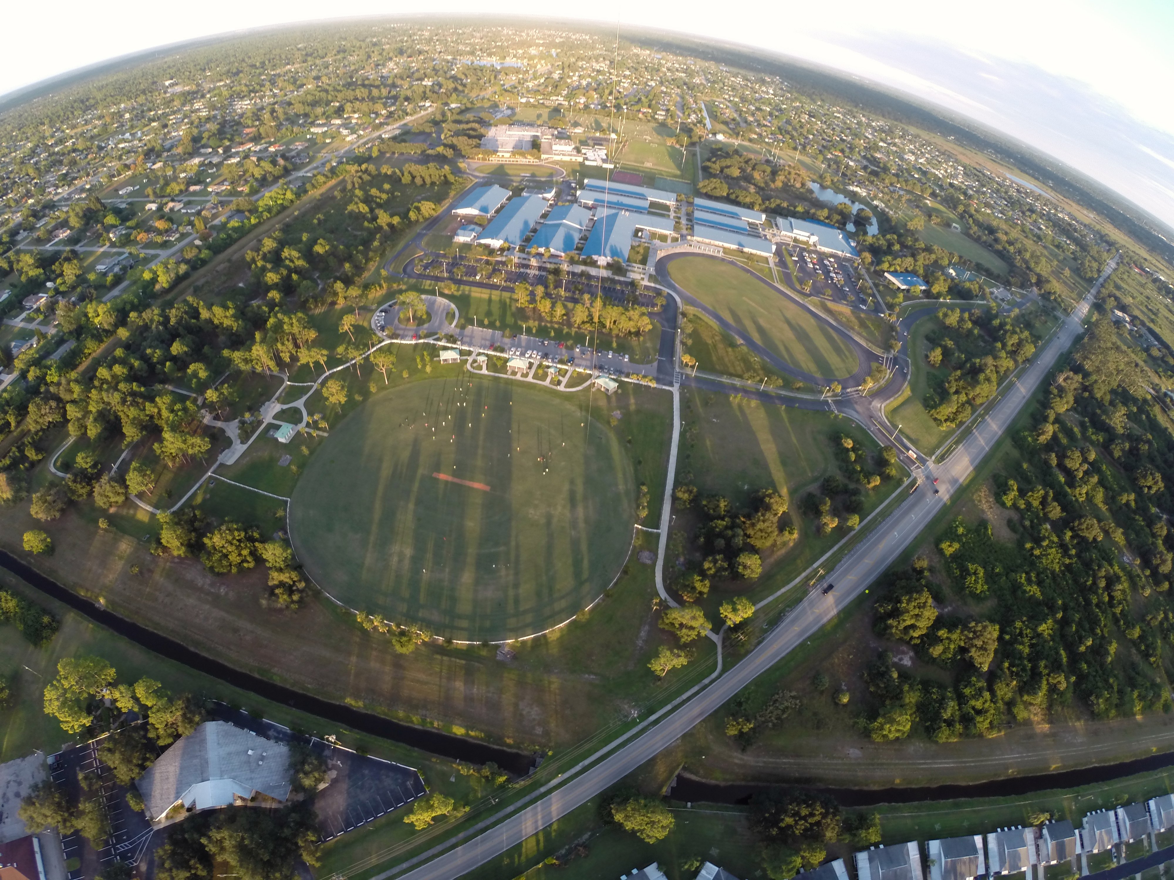
A view from Above. I used a a GoPro Hero 3+ Black Edition, a HQ Invento 2 meter Delta with 1000' 150 Lbs. Kevlar line on a Brooxes Picavet. Veterans Park, Lehigh Acres, FL. (10/23/2015).
A view from above. I used a GoPro Hero 3+ Black Edition a HQ Invento 2 Meter Delta with 1000 ft. 150 Lbs. Kevlar line.
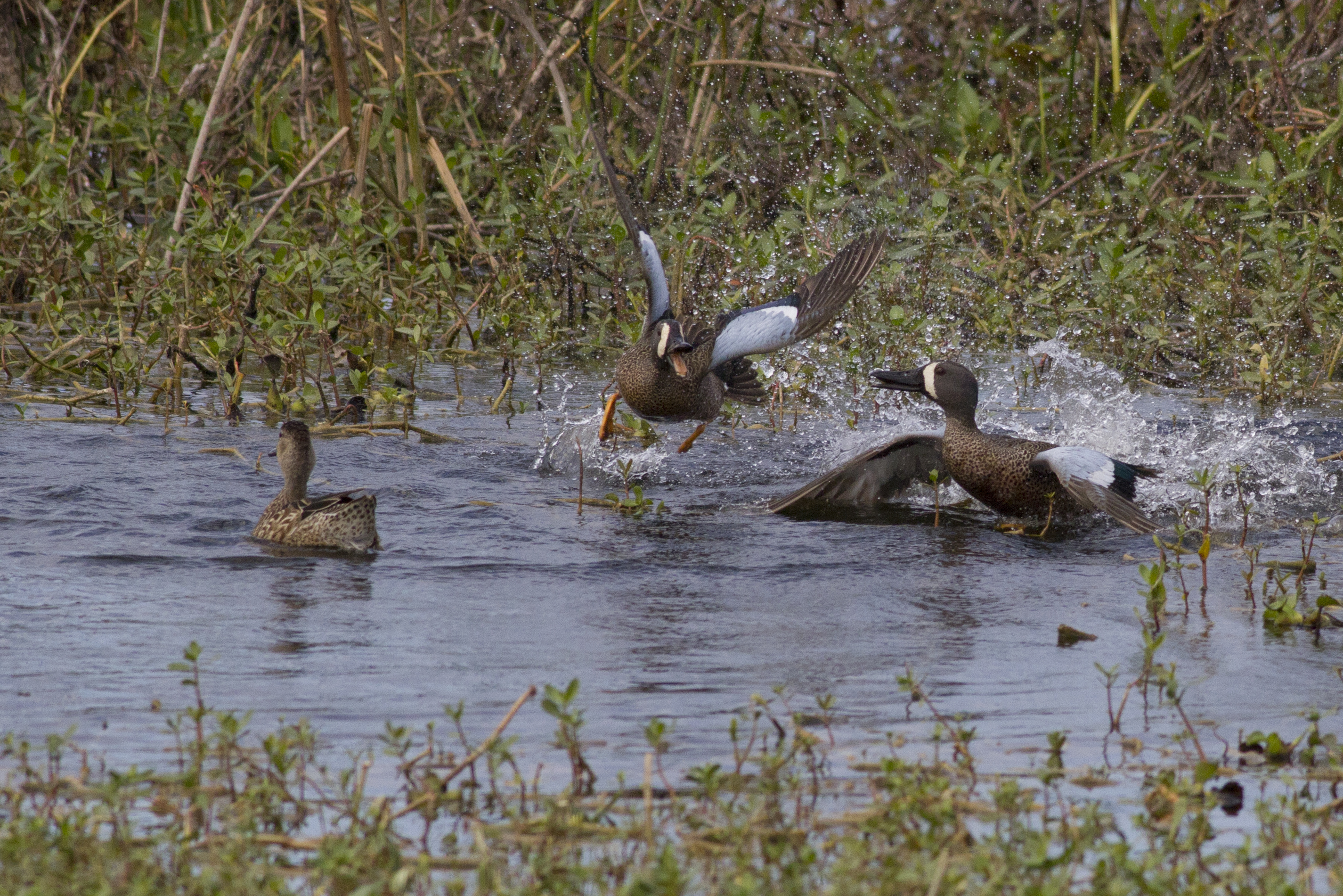
Blue-winged Teals
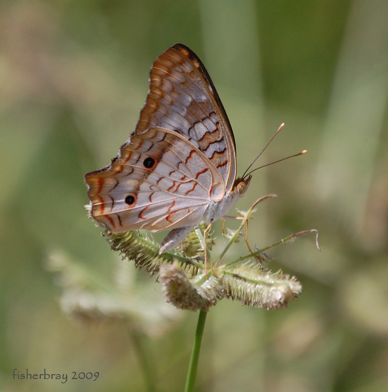
White Peacock (Anartia jatrophae)

American Bittern

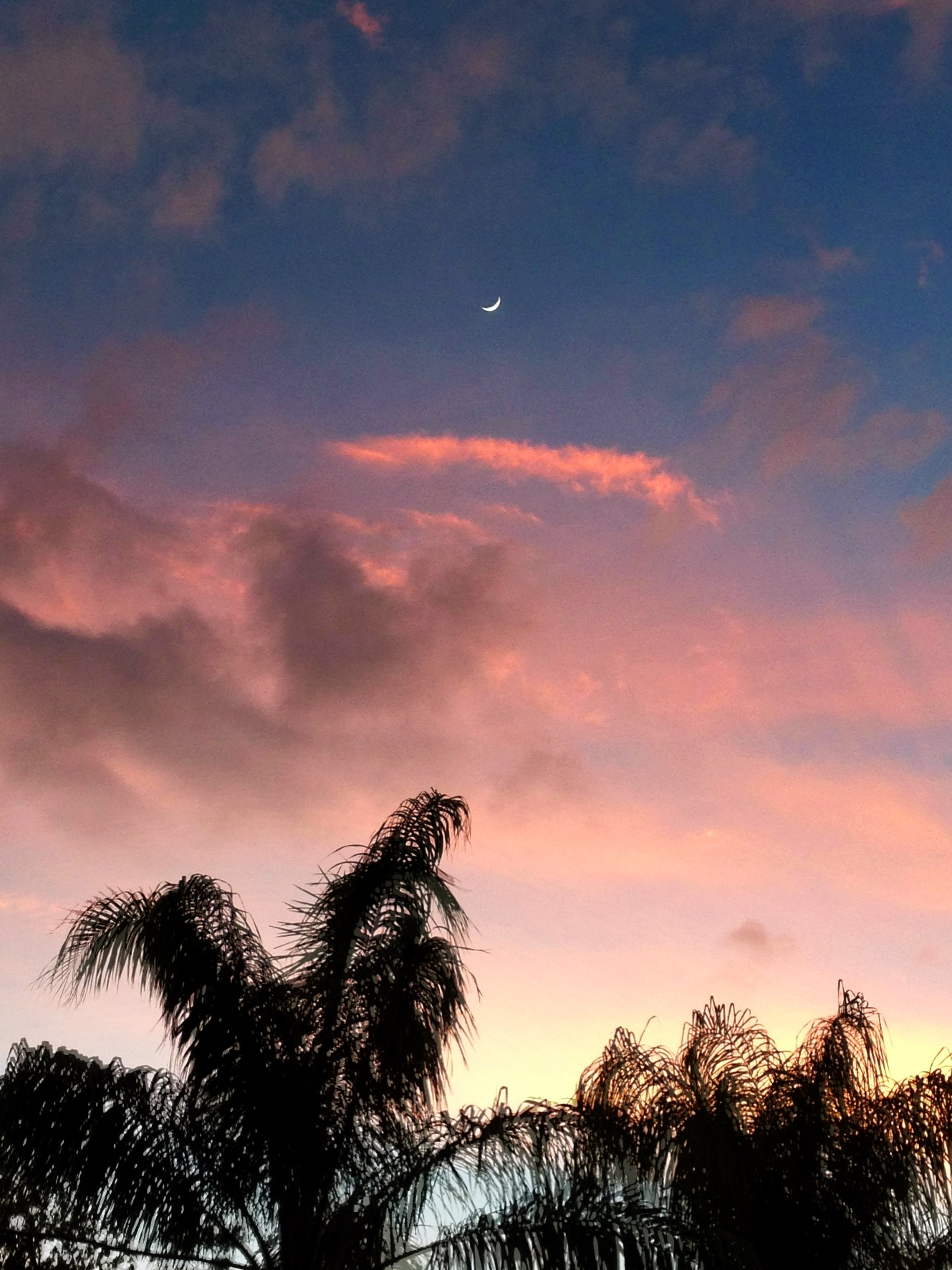
Clouds at Sunrise
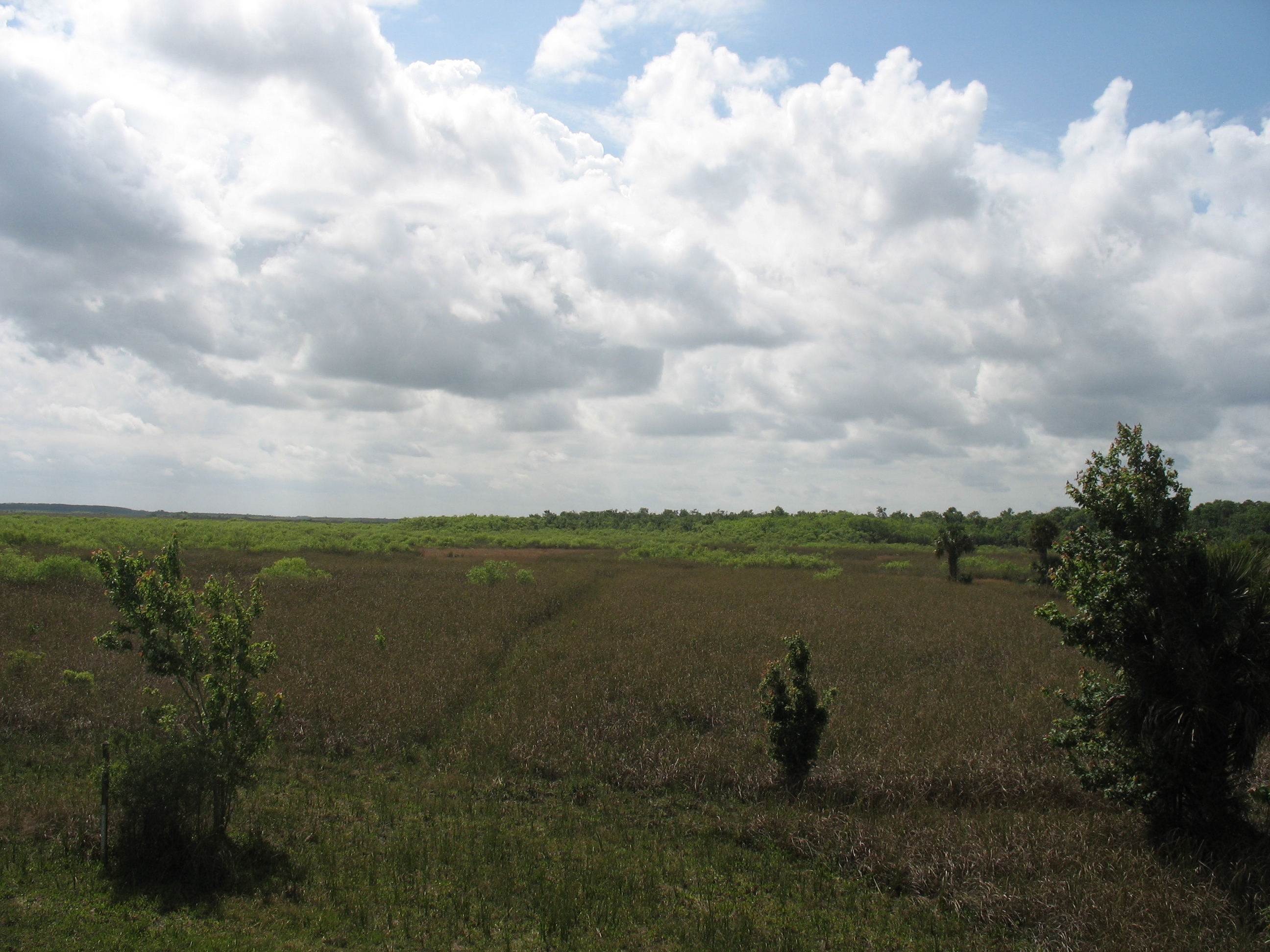
Landscape 015

Caloosahatchee River

Caloosahatchee Regional Park

Douglas DC-3s N834M & N211GB & C-117 N851M

Common Moorhen

Caloosahatchee River

Savannah Sparrow

Palm Warbler

Practice makes perfect
Camera Roll-153
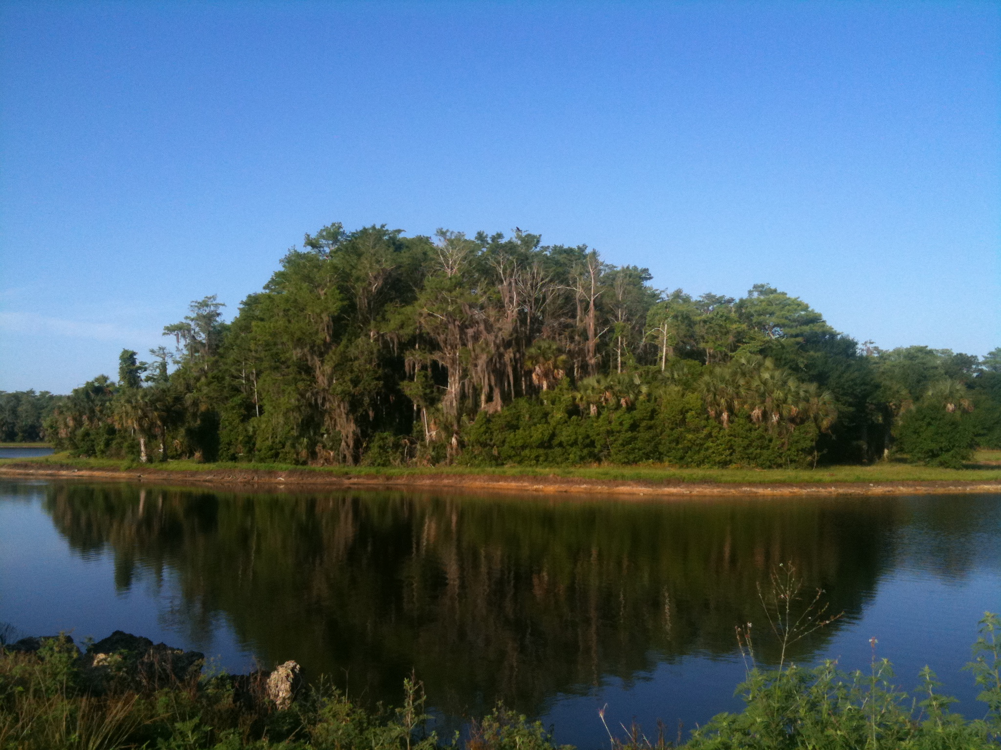
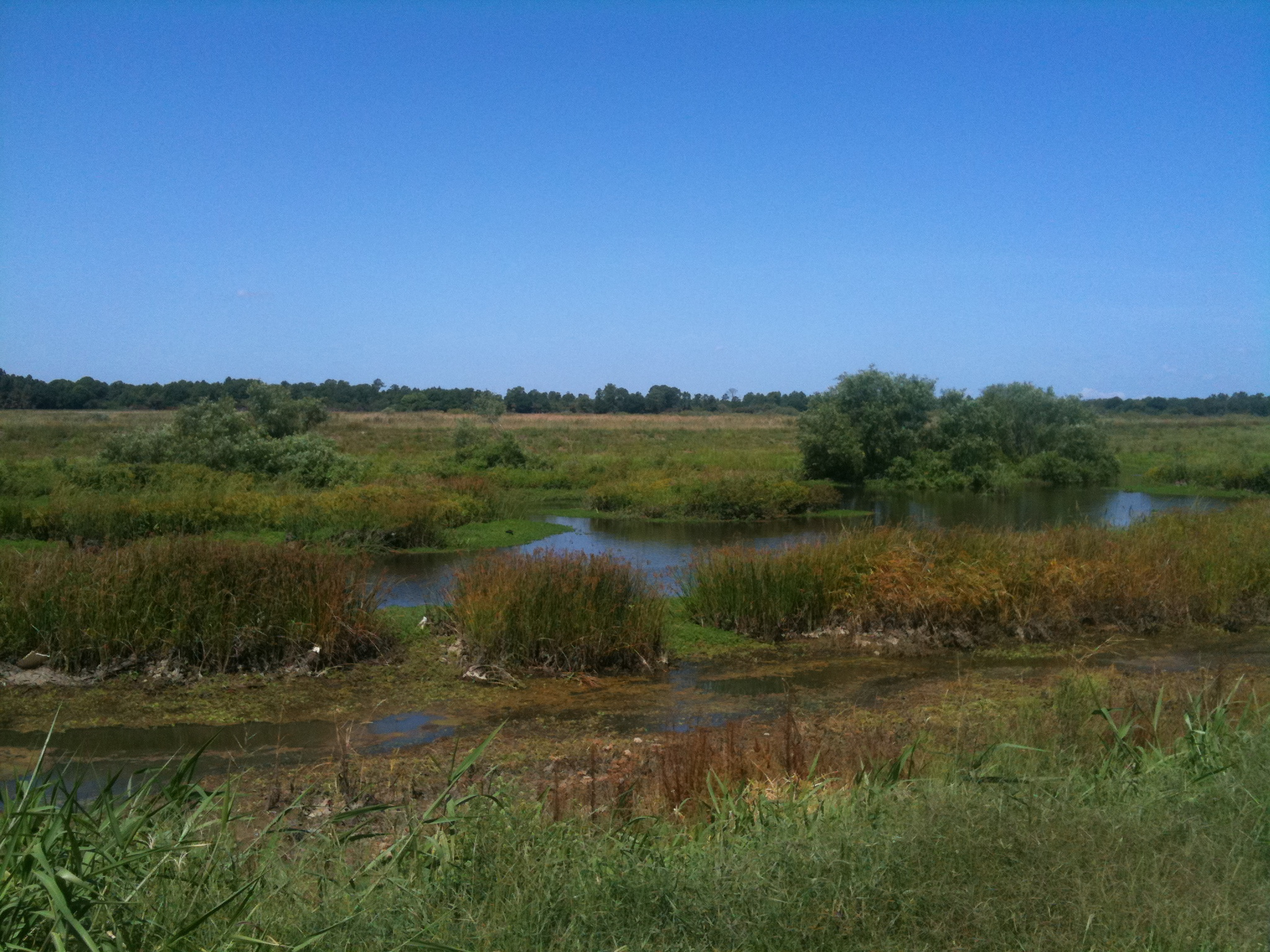
Harns Marsh
Harns Marsh Cypress Dome
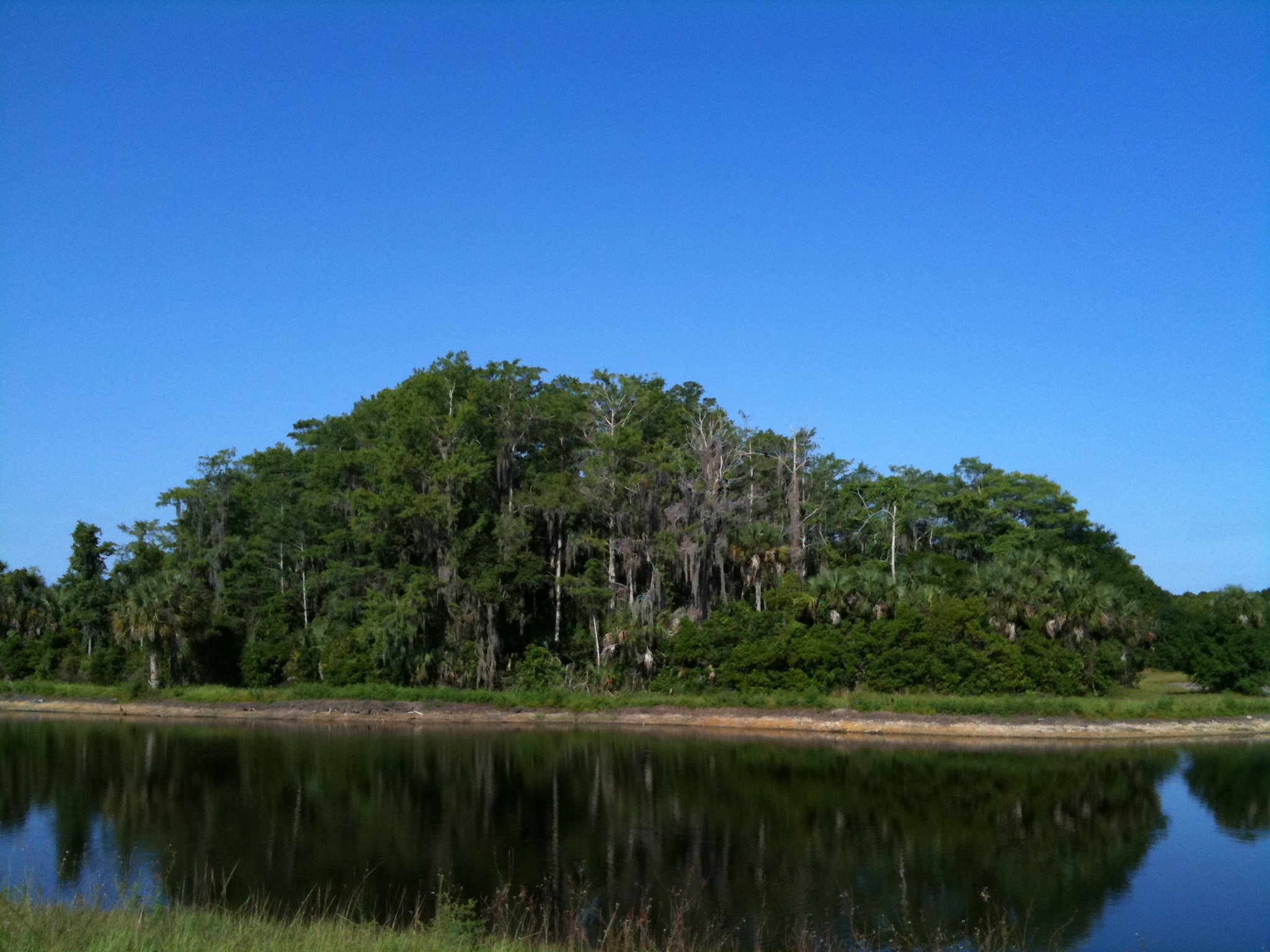
Harns Marsh
Camera Roll-152
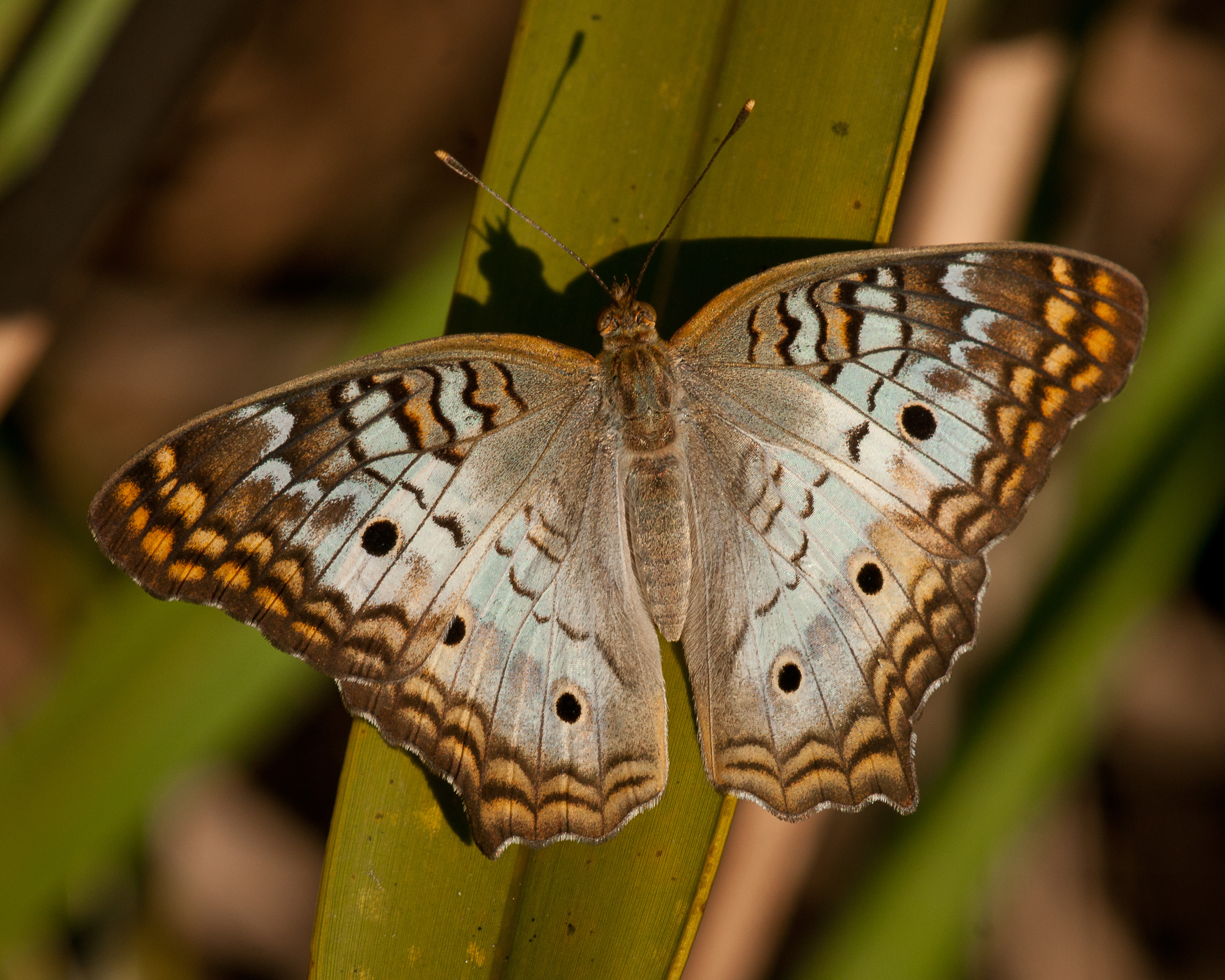
White Peacock Butterfly
Camera Roll-131
Camera Roll-161
trail into corkscrew swamp sanctuary
Topographic Map of Archer St, Lehigh Acres, FL, USA
Find elevation by address:

Places near Archer St, Lehigh Acres, FL, USA:
934 Asther St E
1207 East 3rd Street
1207 East 3rd Street
128 Oxbow Beckley Ave
2310 Orange St
2310 East 5th Street
1203 E 3rd St
243 Thistle Ct
305 Maycrest Rd
215 Maple Ave N
200 Lake Ave
Grandview Drive
872 Campbell St E
523 Jackson Ave
3300 East 5th Street
516 Canton Ave
102 Scott Ave
404 Leeland Heights Blvd E
715 Jefferson Ave
760 Central St E
Recent Searches:
- Elevation of Lampiasi St, Sarasota, FL, USA
- Elevation of Elwyn Dr, Roanoke Rapids, NC, USA
- Elevation of Congressional Dr, Stevensville, MD, USA
- Elevation of Bellview Rd, McLean, VA, USA
- Elevation of Stage Island Rd, Chatham, MA, USA
- Elevation of Shibuya Scramble Crossing, 21 Udagawacho, Shibuya City, Tokyo -, Japan
- Elevation of Jadagoniai, Kaunas District Municipality, Lithuania
- Elevation of Pagonija rock, Kranto 7-oji g. 8"N, Kaunas, Lithuania
- Elevation of Co Rd 87, Jamestown, CO, USA
- Elevation of Tenjo, Cundinamarca, Colombia