Elevation of Araules, France
Location: France > Haute-loire >
Longitude: 4.173367
Latitude: 45.0898309
Elevation: 1040m / 3412feet
Barometric Pressure: 89KPa
Elevation Map:
Satellite Map:
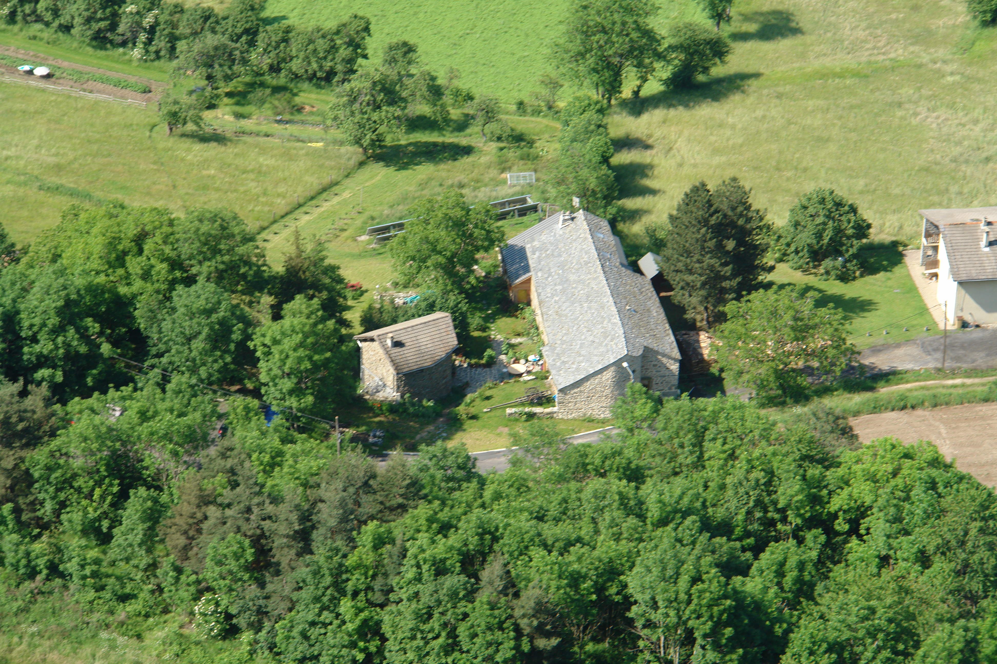
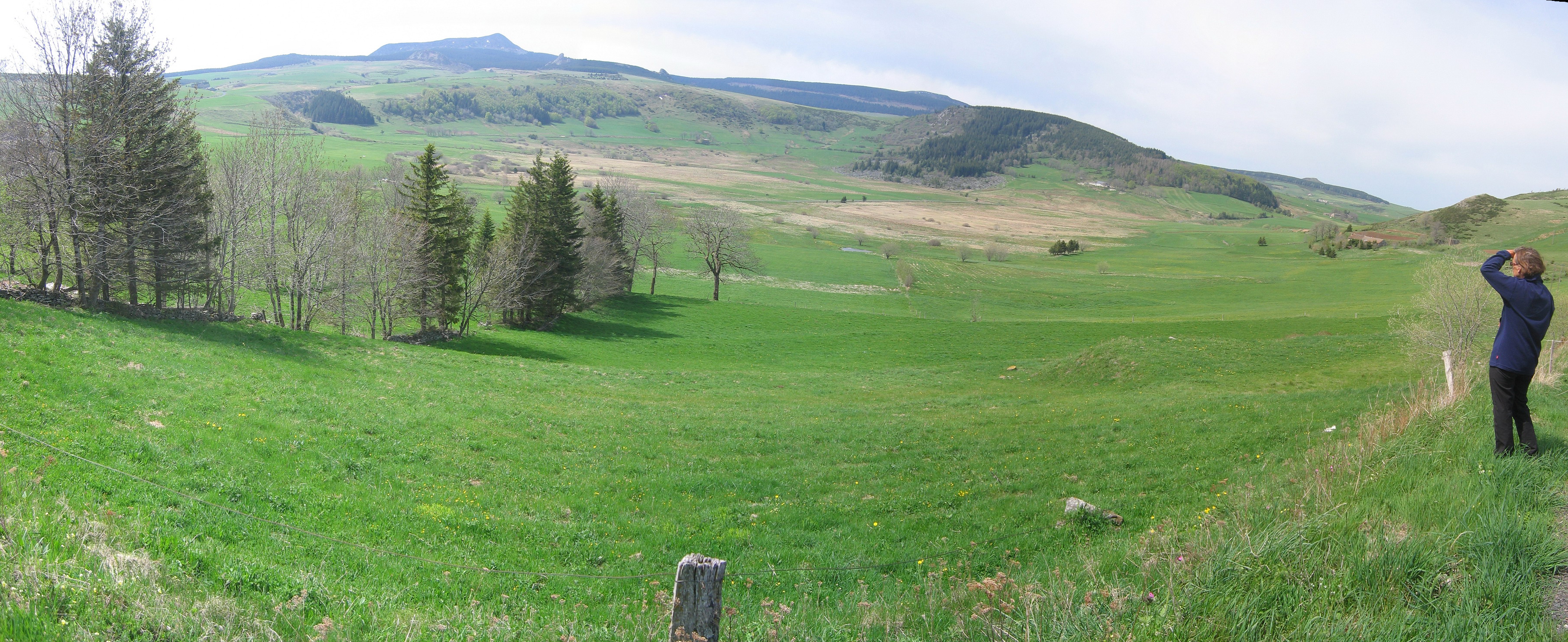
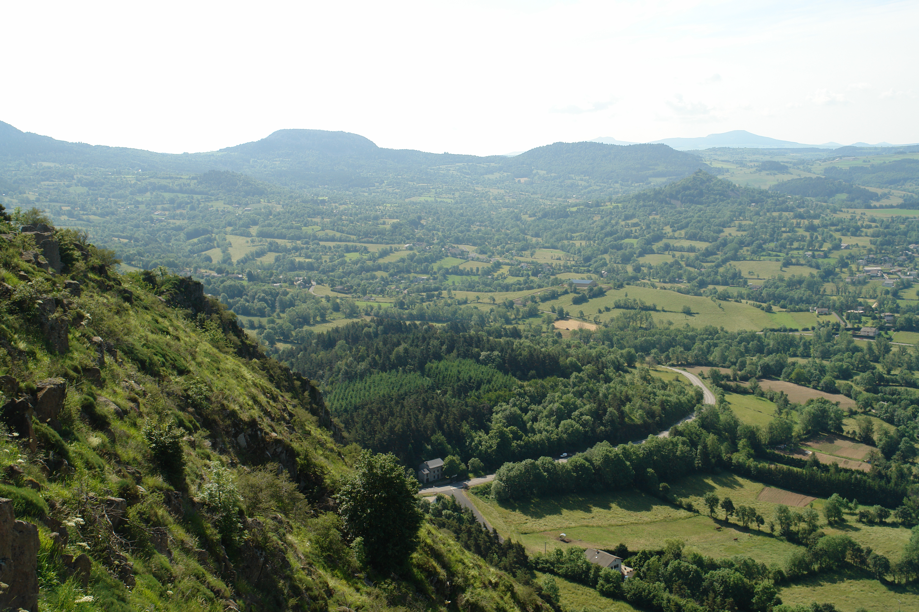
Related Photos:
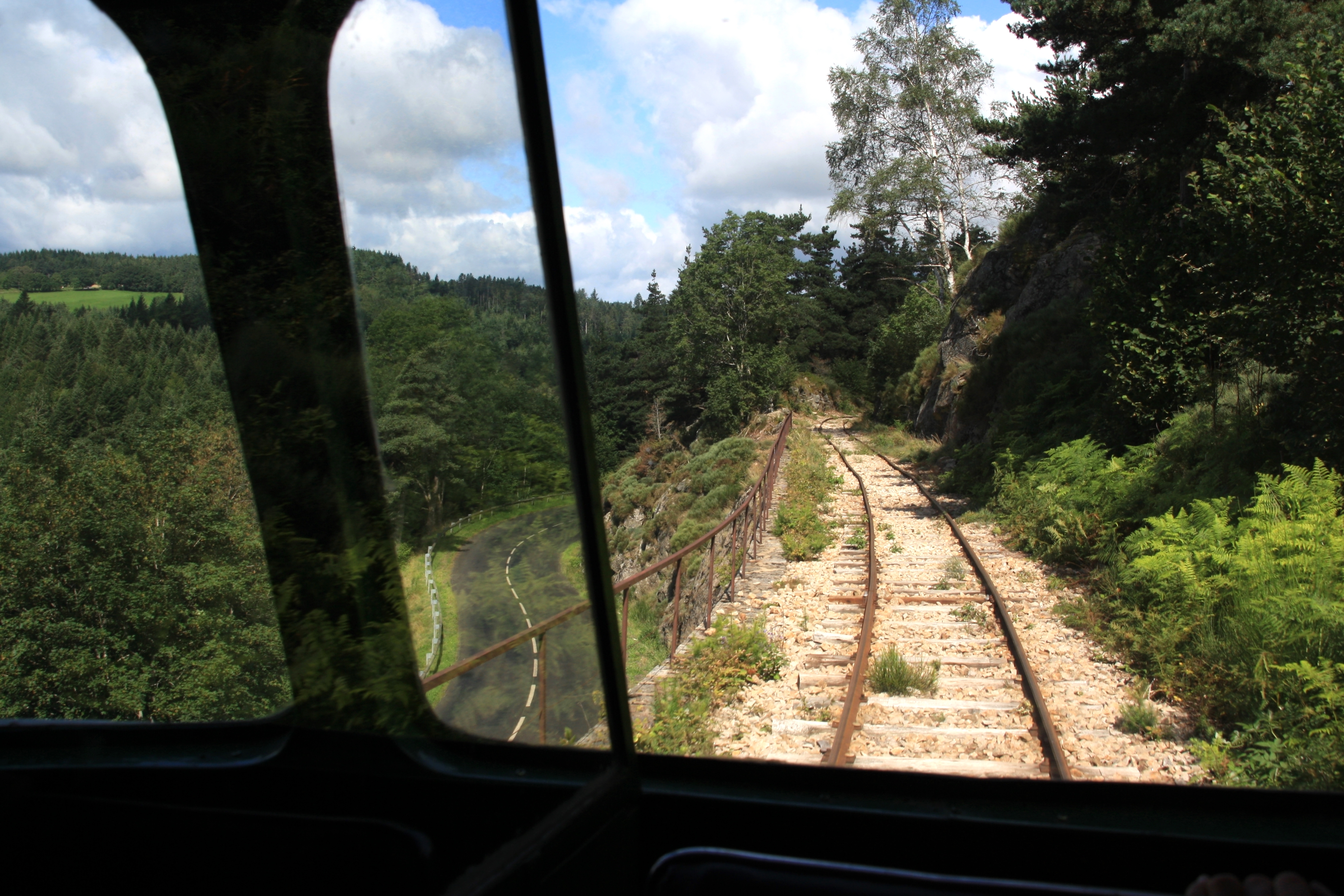
Chemin de fer du Velay
DSC06183.JPG
DSC06175.JPG
Le Lignon
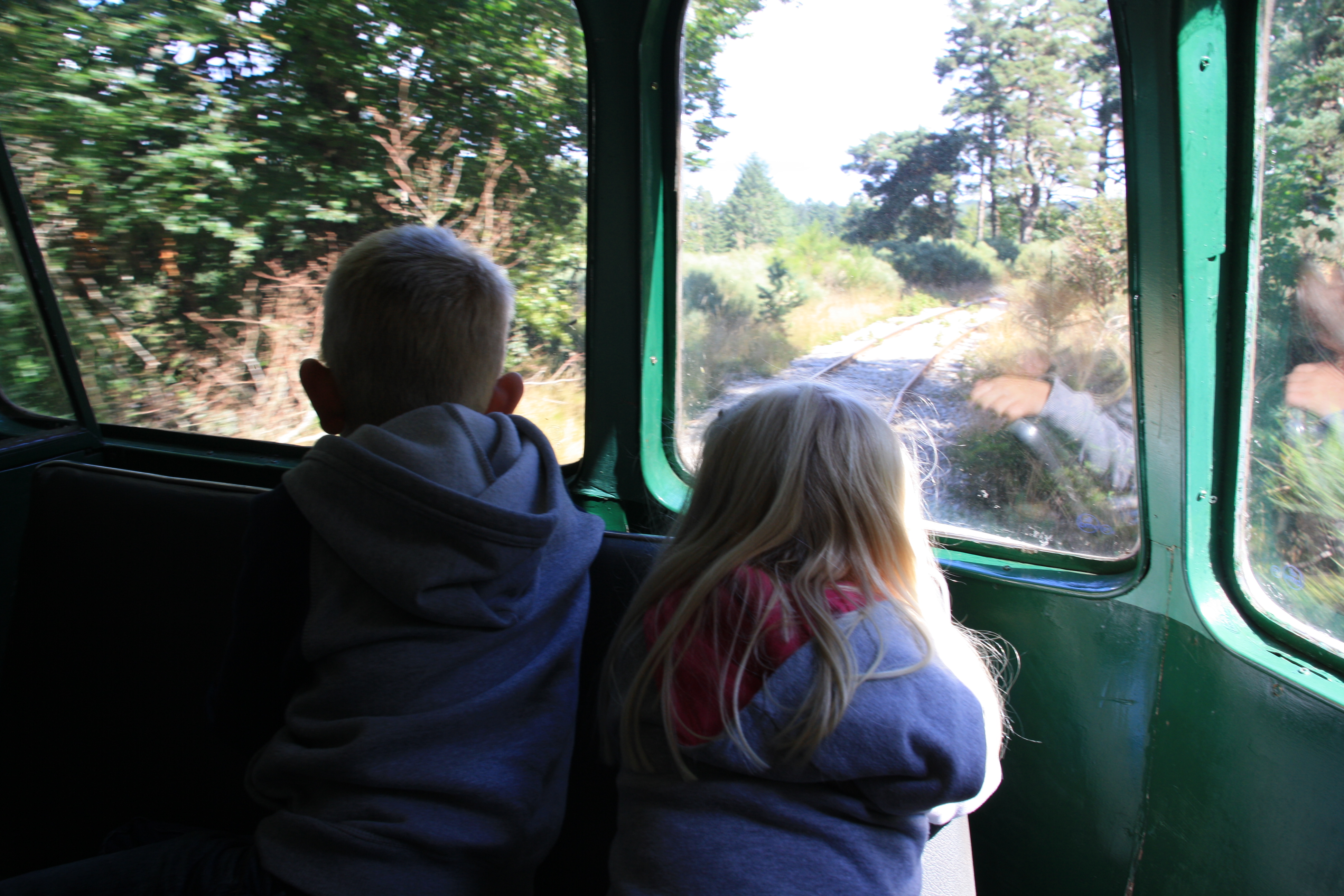
Billard A80D of the Chemin de Fer du Velay
DSC06177.JPG
IMG_8460_pano.JPG
DSC06182.JPG
DSC06185.JPG
DSC06181.JPG
DSC06178.JPG
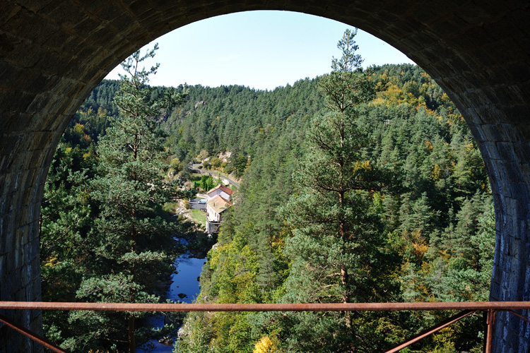
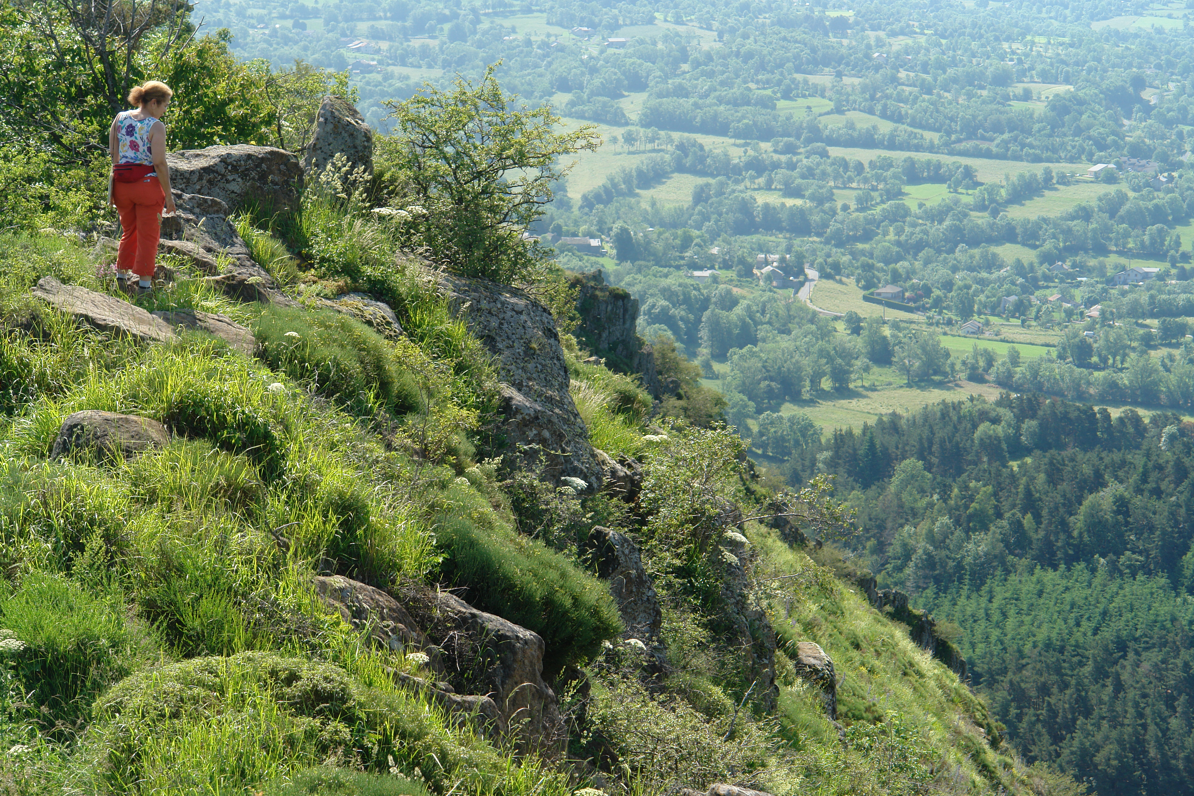
ravin de Corboeuf - Rosières (43)
DSC06180.JPG
DSC06184.JPG
DSC06179.JPG
DSC06176.JPG
IMG_8449.JPG
IMG_8464.JPG
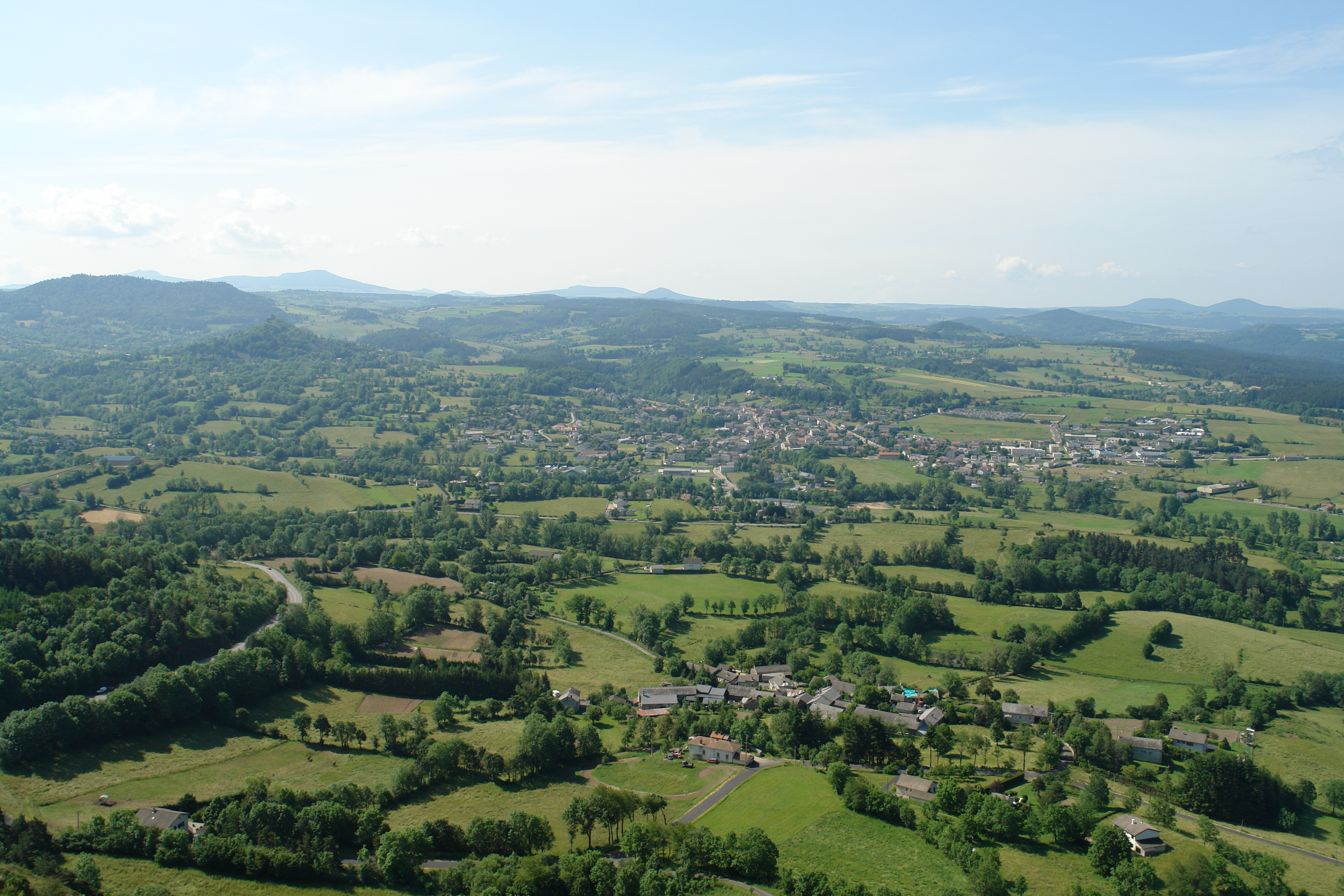
Le Mézenc au couchant

Pic du Lizieux - Les sucs

Alpes ...

Fay-sur-Lignon Dyke
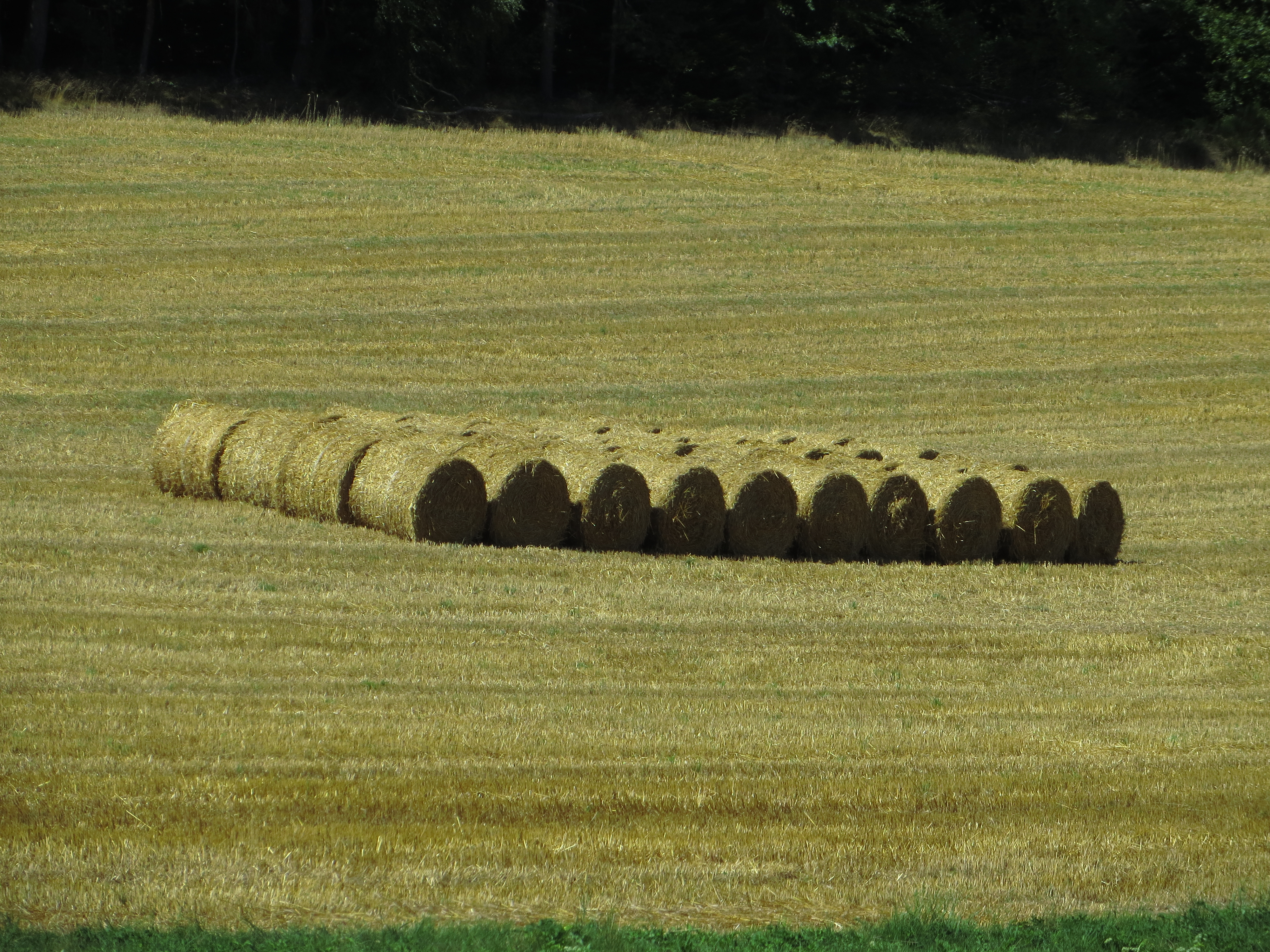
20130822 14 175 Jakobus Getreidefeld Strohballen
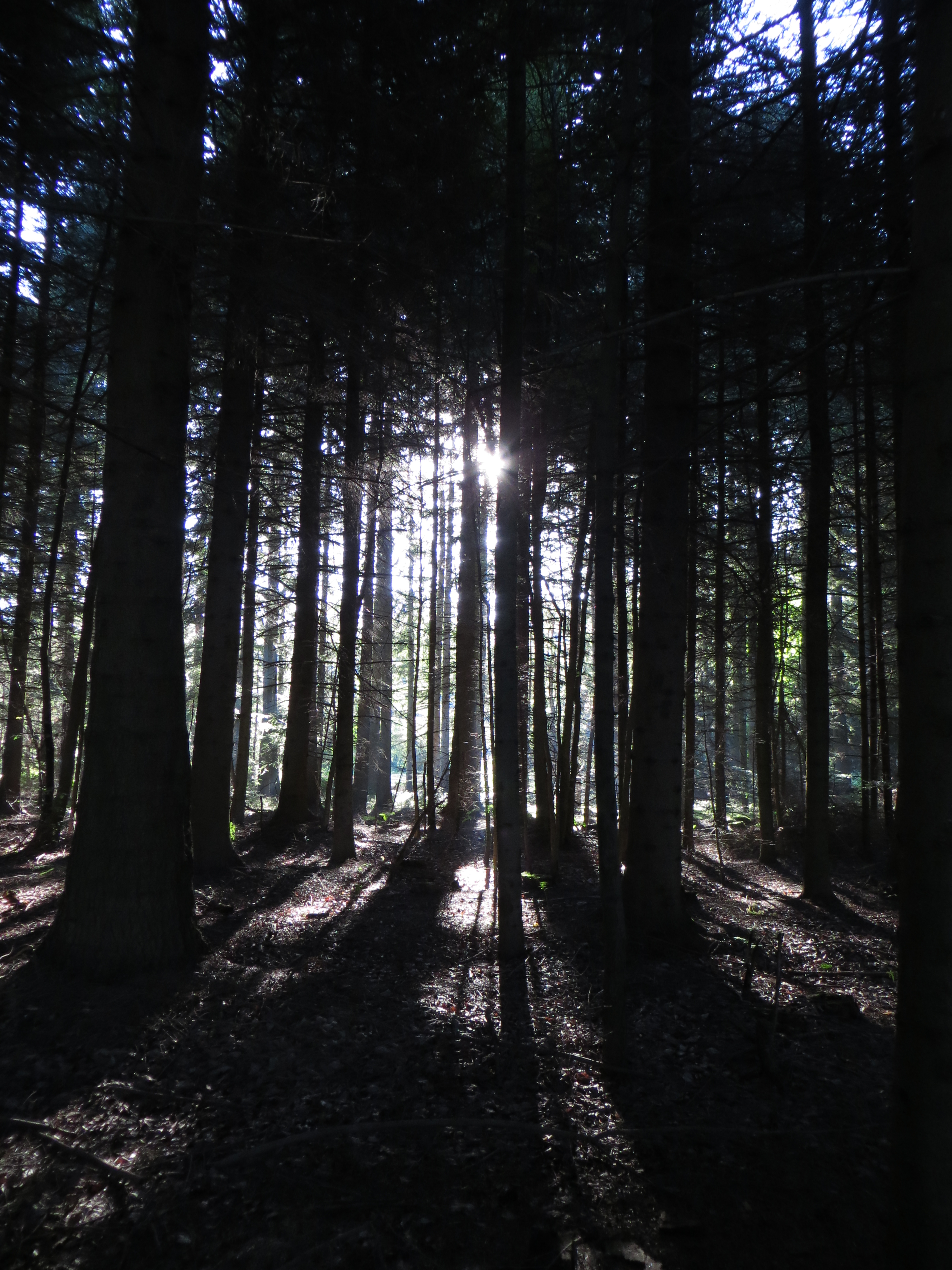
20130822 14 049 Jakobus Wald Weg Sonne

Autorail Billard du Velay-05/2016
20130823 15 173 Jakobus Queyieres Felsen Häuser Kirche Turm Bäume

20130823 15 130 Jakobus Weite Hügel Wald
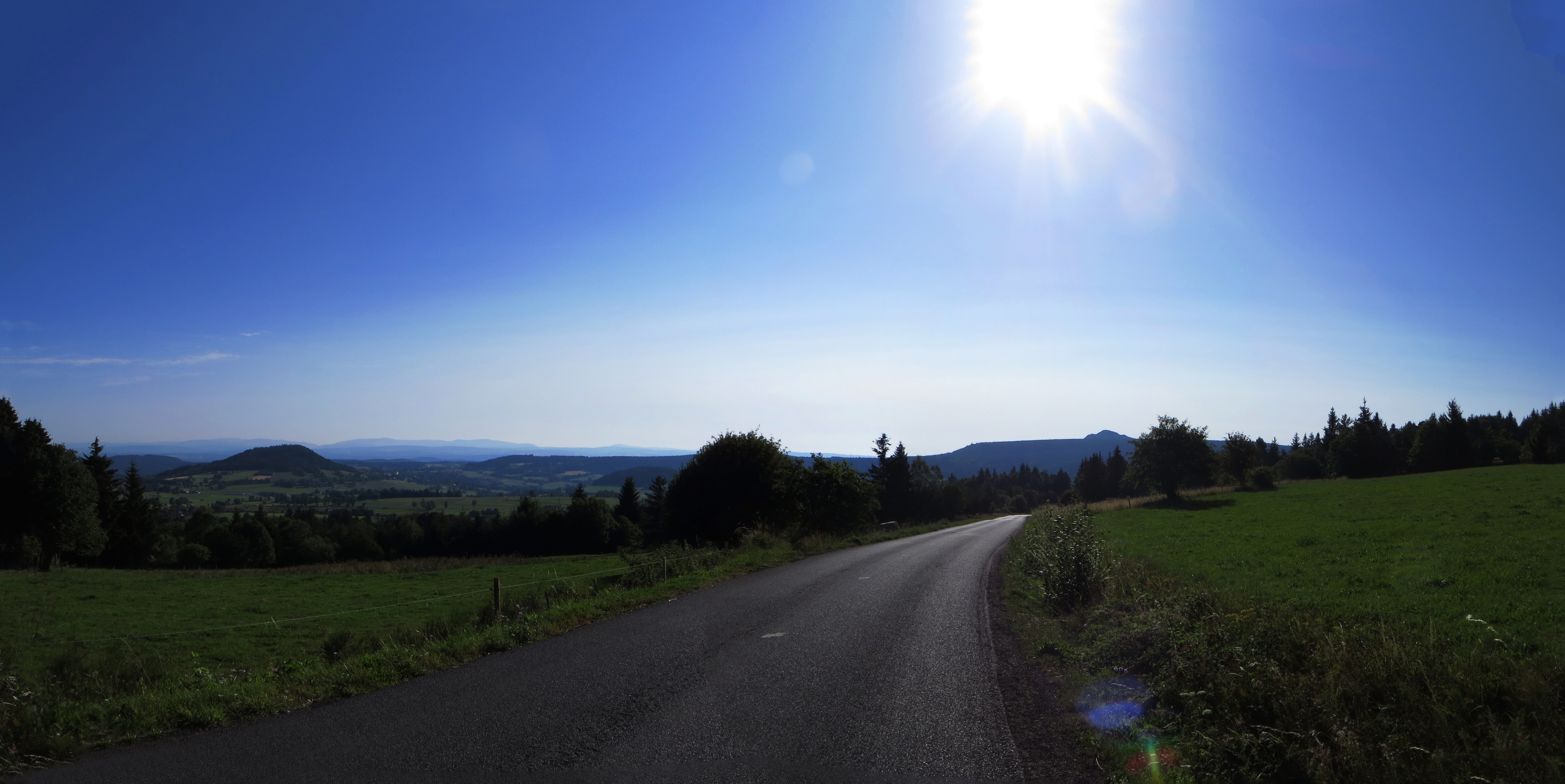
20130823 15 107 Jakobus Straße Wald Wiese Bäume Sonne_P01

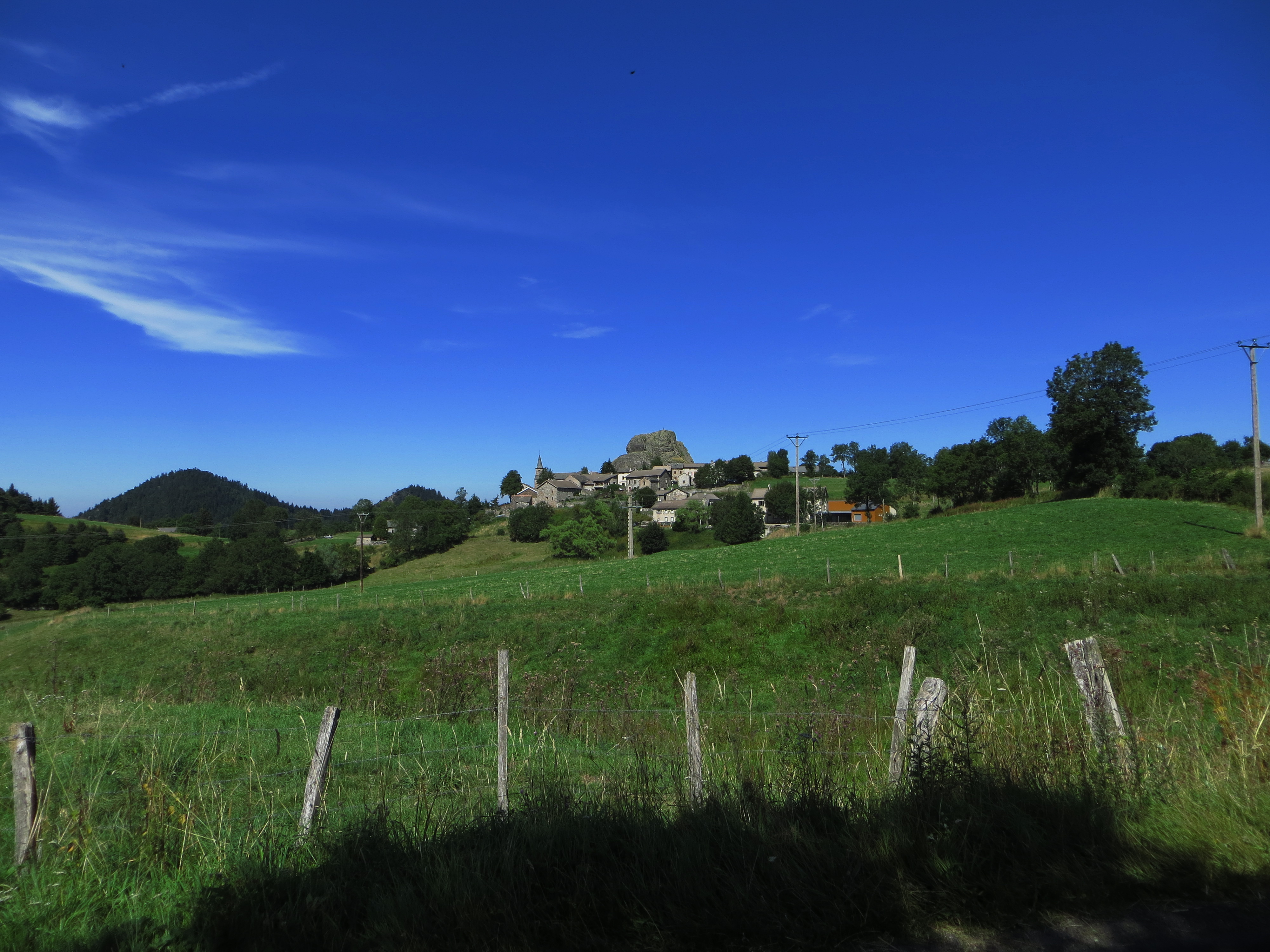
20130823 15 156 Jakobus Queyieres Weite Hügel Wald Kirche Turm Häuser
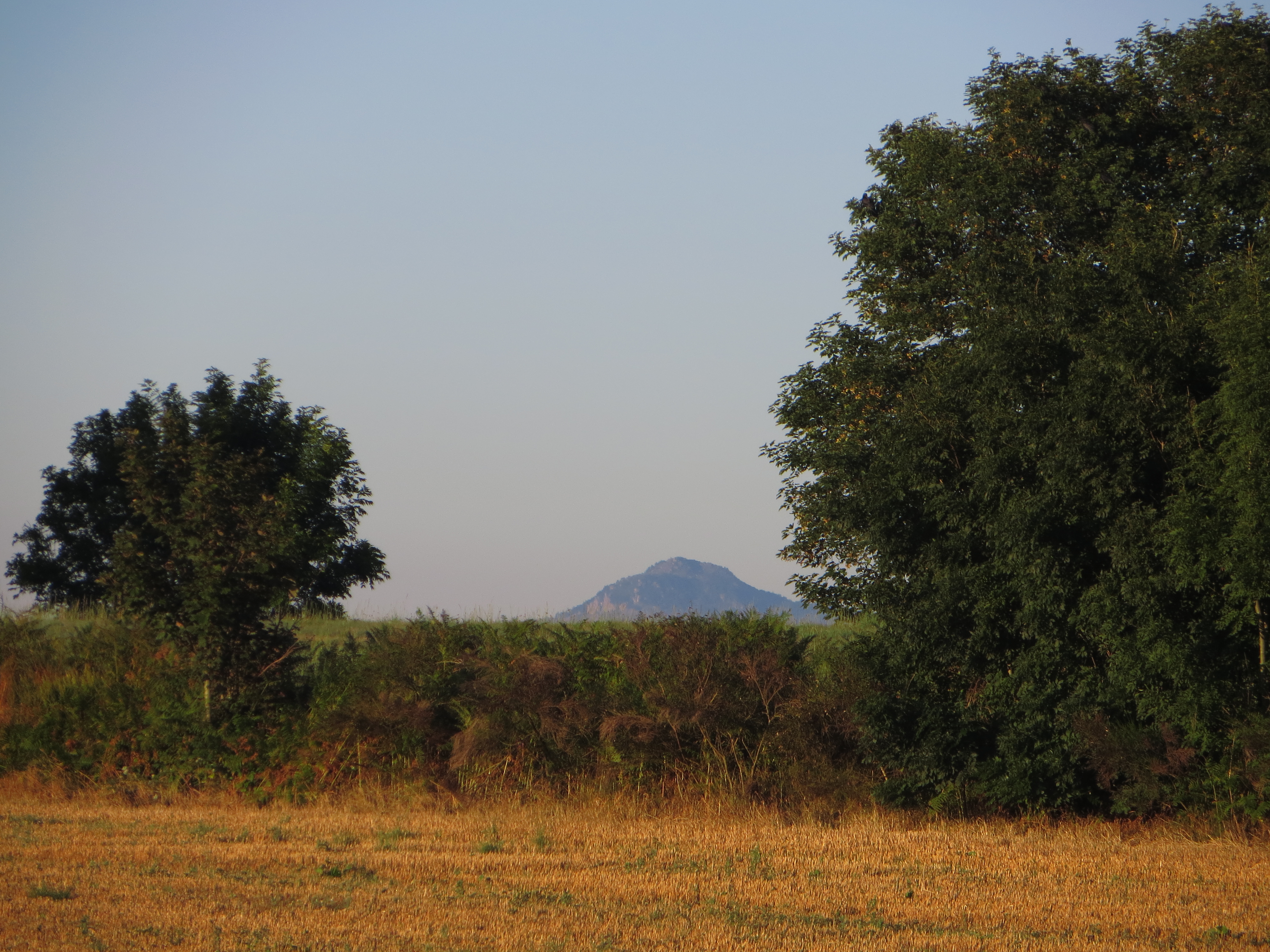
20130822 14 016 Jakobus Sehnsuchtsberge Gipfel Feld Bäume

20130823 15 154 Jakobus Queyieres Weite Hügel Wald Kirche Turm Häuser_P01
20130823 15 354 Jakobus Hügel Weite Feld Wald Wiese Weg_P01
B20 stormy weather
20130822 14 056 Jakobus Wald Wiese Weg_P01
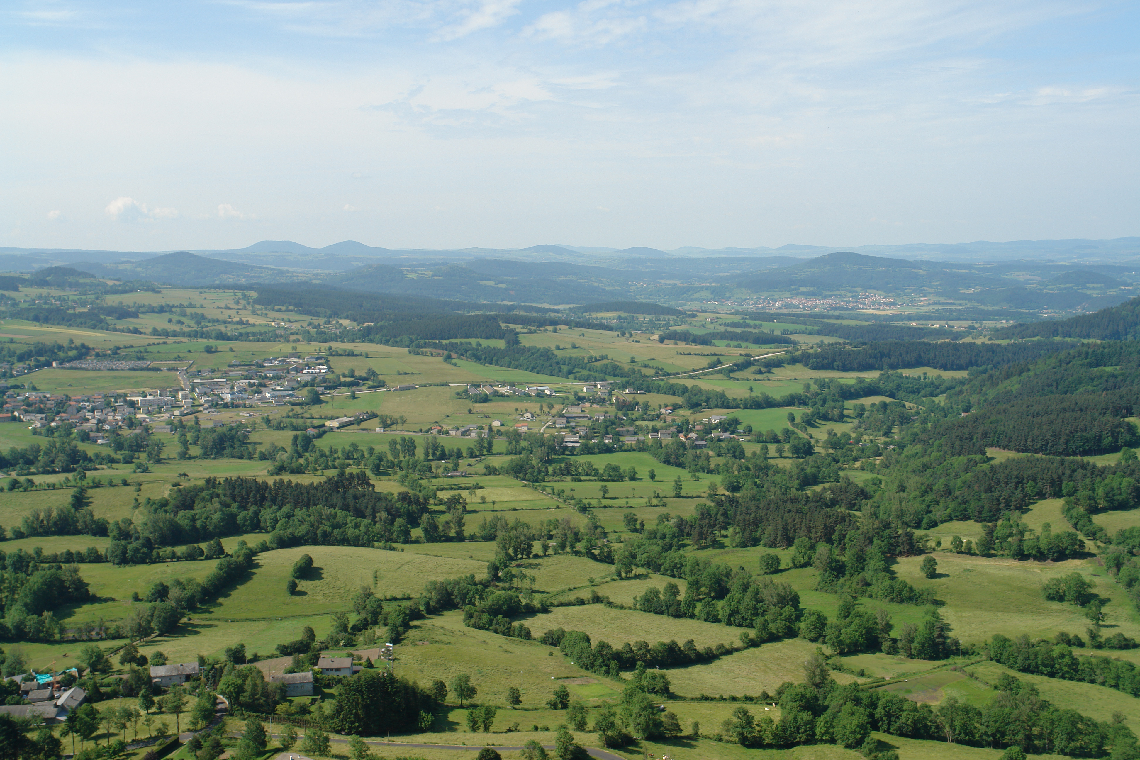
Volcanoes in Auvergne
20130823 15 131 Jakobus Weite Hügel Wald
20130823 15 128 Jakobus Straße Weite Bäume Wald_P01
#madeinfrance #campagne #rurallife #hauteloire #auvergne
20130823 15 153 Jakobus Queyieres Weite Hügel Wald Kirche Turm Häuser_P01
Topographic Map of Araules, France
Find elevation by address:

Places in Araules, France:
Places near Araules, France:
50 Rue de l'Église, Araules, France
Champclause
Yssingeaux
Boussoulet, Champclause, France
Grazac
5385b
Saint-Étienne-lardeyrol
4 Place Pierre Cruviller, Retournac, France
Retournac
4 Place des Remparts, Beauzac, France
Beauzac
Condros, Saint-Étienne-Lardeyrol, France
Monistrol-sur-loire
2 Avenue de la Libération, Monistrol-sur-Loire, France
Cosycamp
Chamalières-sur-loire
Bas-en-basset
Château De Rochebaron
Haute-loire
14 Rue J Romain, Lavoûte-sur-Loire, France
Recent Searches:
- Elevation of Unnamed Road, Respublika Severnaya Osetiya — Alaniya, Russia
- Elevation of Verkhny Fiagdon, North Ossetia–Alania Republic, Russia
- Elevation of F. Viola Hiway, San Rafael, Bulacan, Philippines
- Elevation of Herbage Dr, Gulfport, MS, USA
- Elevation of Lilac Cir, Haldimand, ON N3W 2G9, Canada
- Elevation of Harrod Branch Road, Harrod Branch Rd, Kentucky, USA
- Elevation of Wyndham Grand Barbados Sam Lords Castle All Inclusive Resort, End of Belair Road, Long Bay, Bridgetown Barbados
- Elevation of Iga Trl, Maggie Valley, NC, USA
- Elevation of N Co Rd 31D, Loveland, CO, USA
- Elevation of Lindever Ln, Palmetto, FL, USA