Elevation of Aras, Zanjan Province, Iran
Location: Iran > Zanjan > Miyaneh >
Longitude: 47.7650684
Latitude: 37.1458421
Elevation: 1107m / 3632feet
Barometric Pressure: 89KPa
Elevation Map:
Satellite Map:
Related Photos:
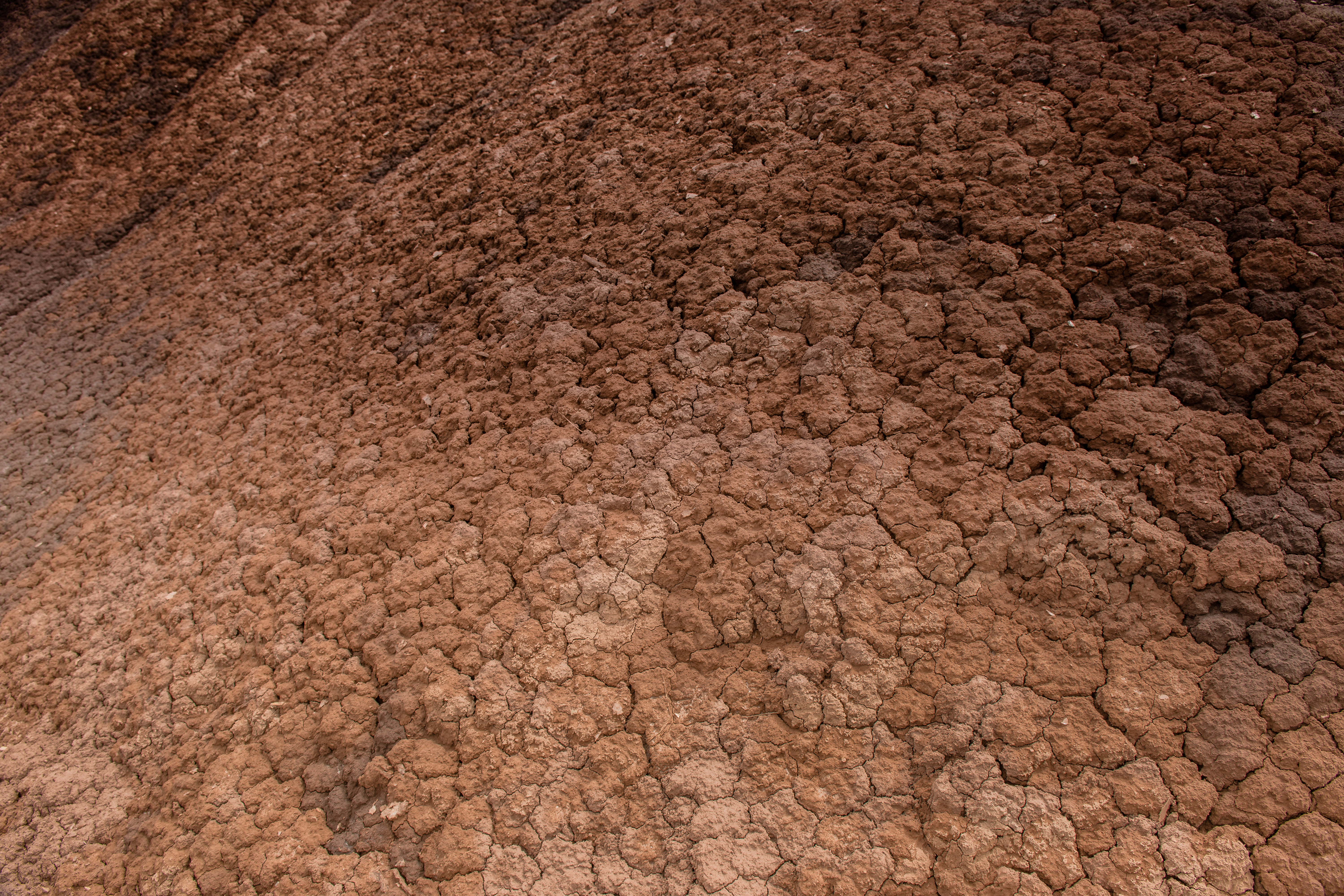
DSC_5003

KNA_9490
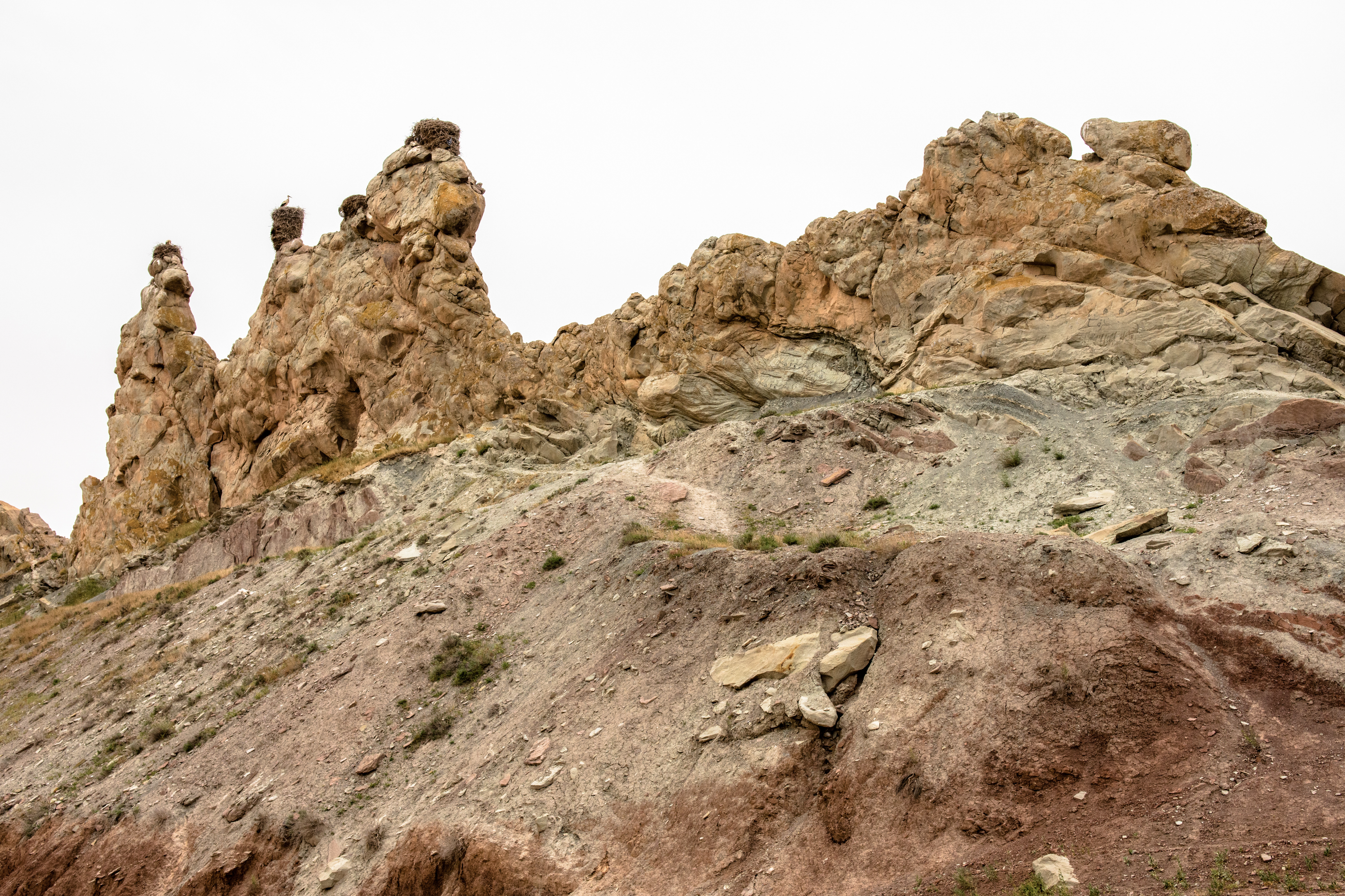
DSC_4972

DSC_4983
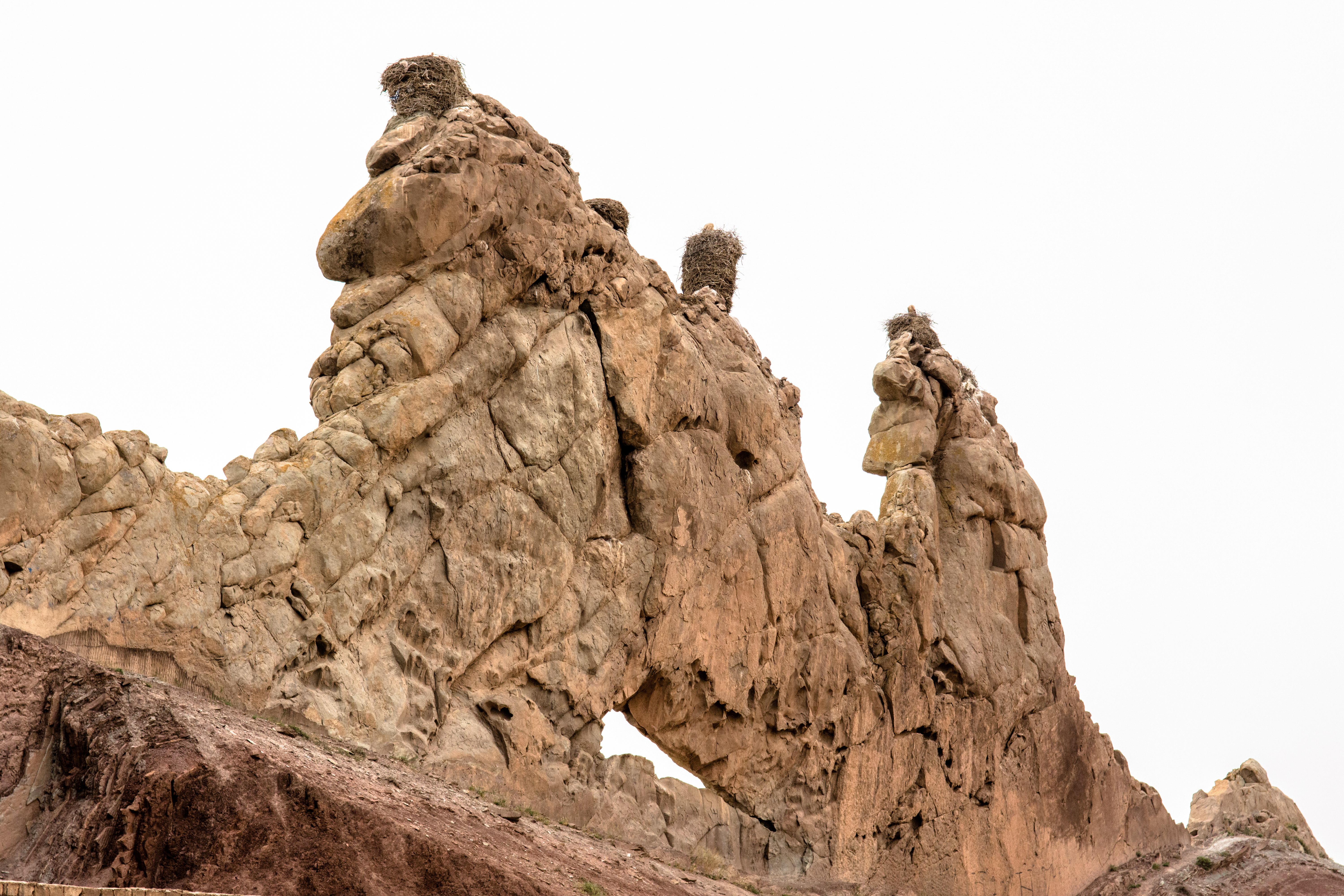
DSC_4989

DSC_4969

[earth-marathon-blog:02818] 地球一周する男・・・

[earth-marathon-blog:02817] 3人のガードマン

[earth-marathon-blog:02816] 超お似合いカップォオー
Topographic Map of Aras, Zanjan Province, Iran
Find elevation by address:

Places near Aras, Zanjan Province, Iran:
Recent Searches:
- Elevation of Lalagbene, Bayelsa, Nigeria
- Elevation of Ogbosuware Health Centre, 2WWJ+4PJ, Lalagbene, Bayelsa, Nigeria
- Elevation of Duckhorn Ct, Las Vegas, NV, USA
- Elevation of Garretts Run Rd, Ford City, PA, USA
- Elevation of N WI-55, Freedom, WI, USA
- Elevation map of Hadiya, Ethiopia
- Elevation of Hosaina, Ethiopia
- Elevation of Verde Terrace, North Port, FL, USA
- Elevation of US-, Leesburg, FL, USA
- Elevation of Summit Dr, Kerrville, TX, USA