Elevation of AR-, Peel, AR, USA
Location: United States > Arkansas > Marion County > Franklin Township > Peel >
Longitude: -92.769093
Latitude: 36.4320686
Elevation: 282m / 925feet
Barometric Pressure: 98KPa
Elevation Map:
Satellite Map:
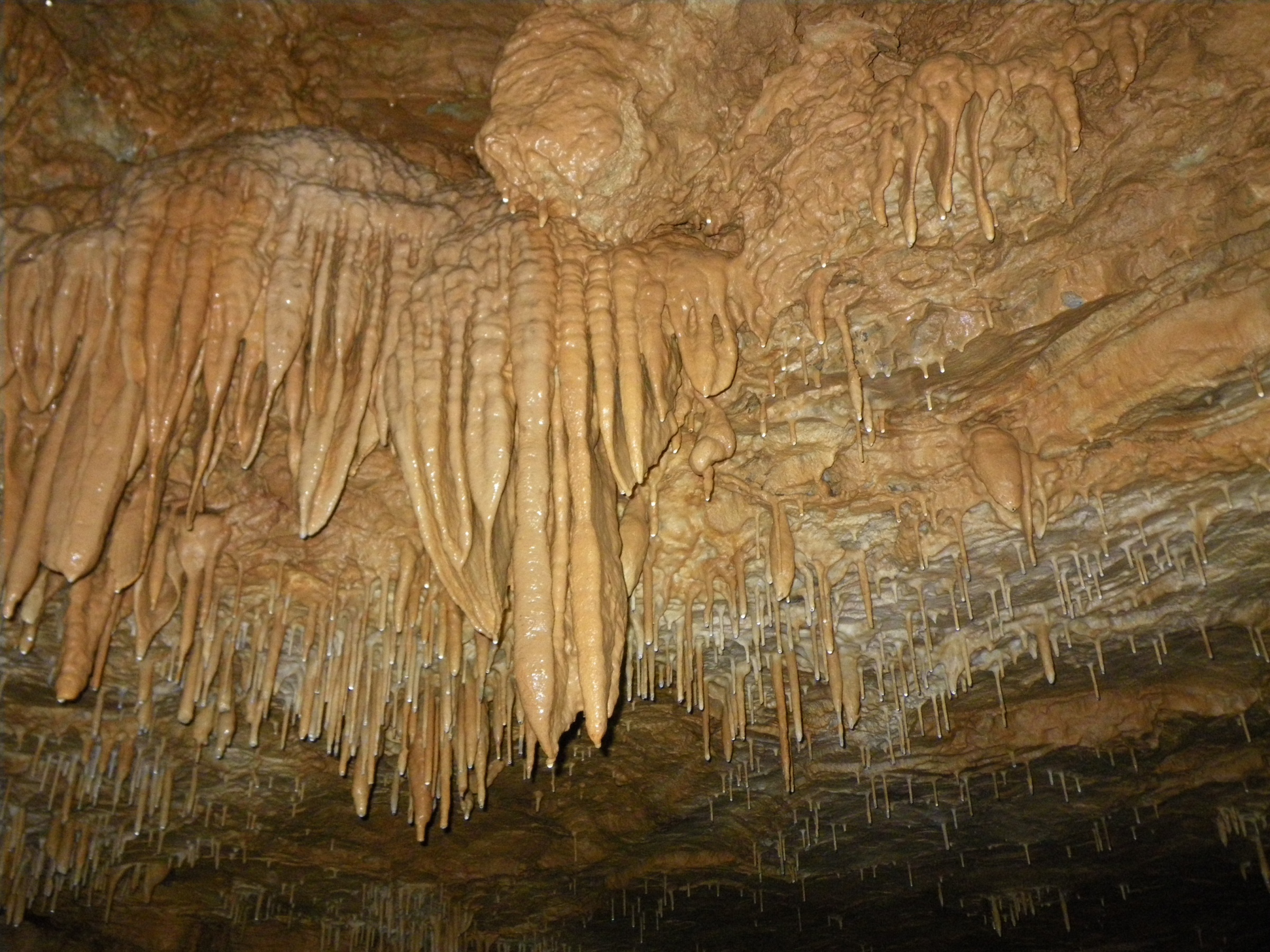
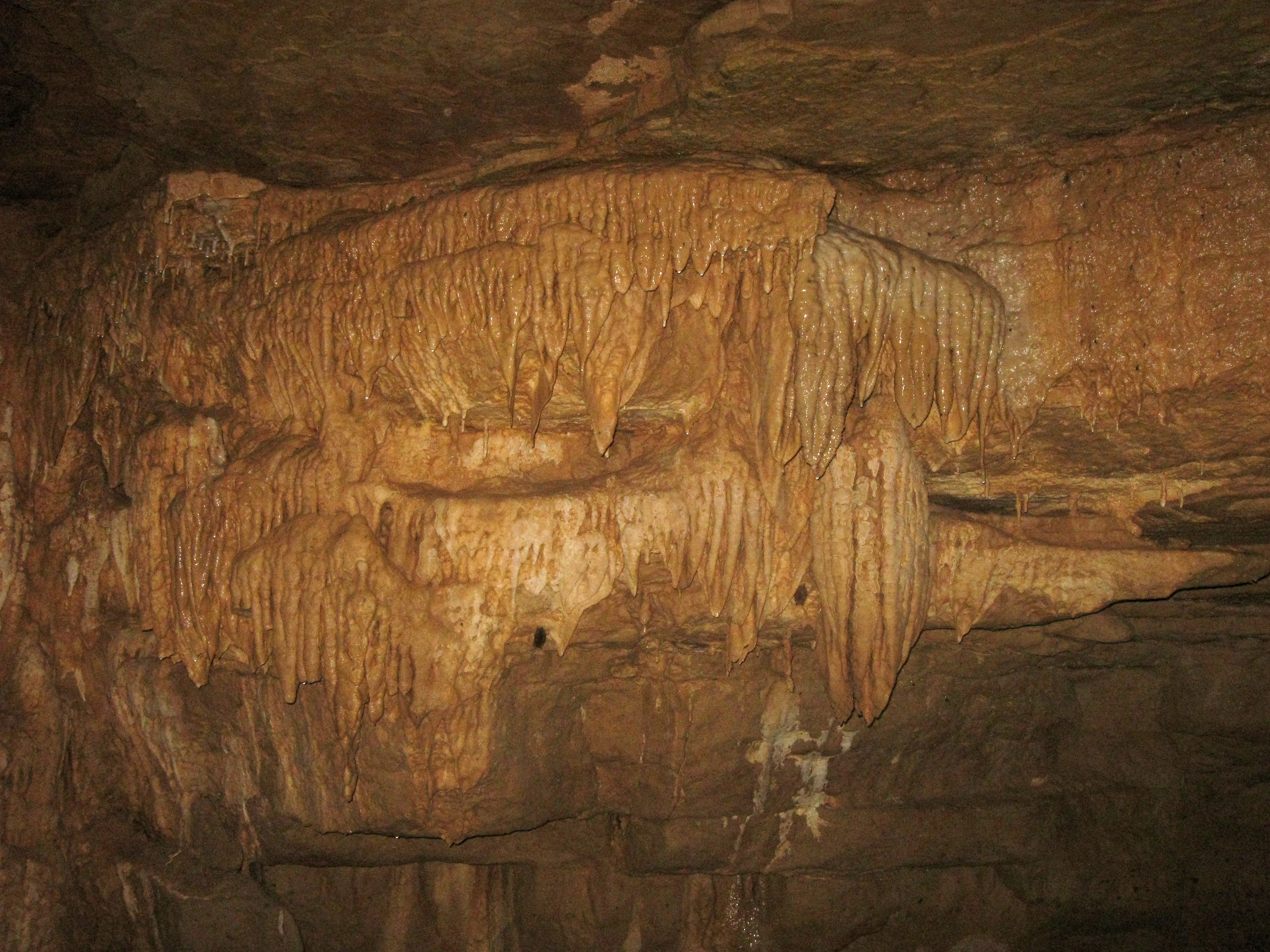
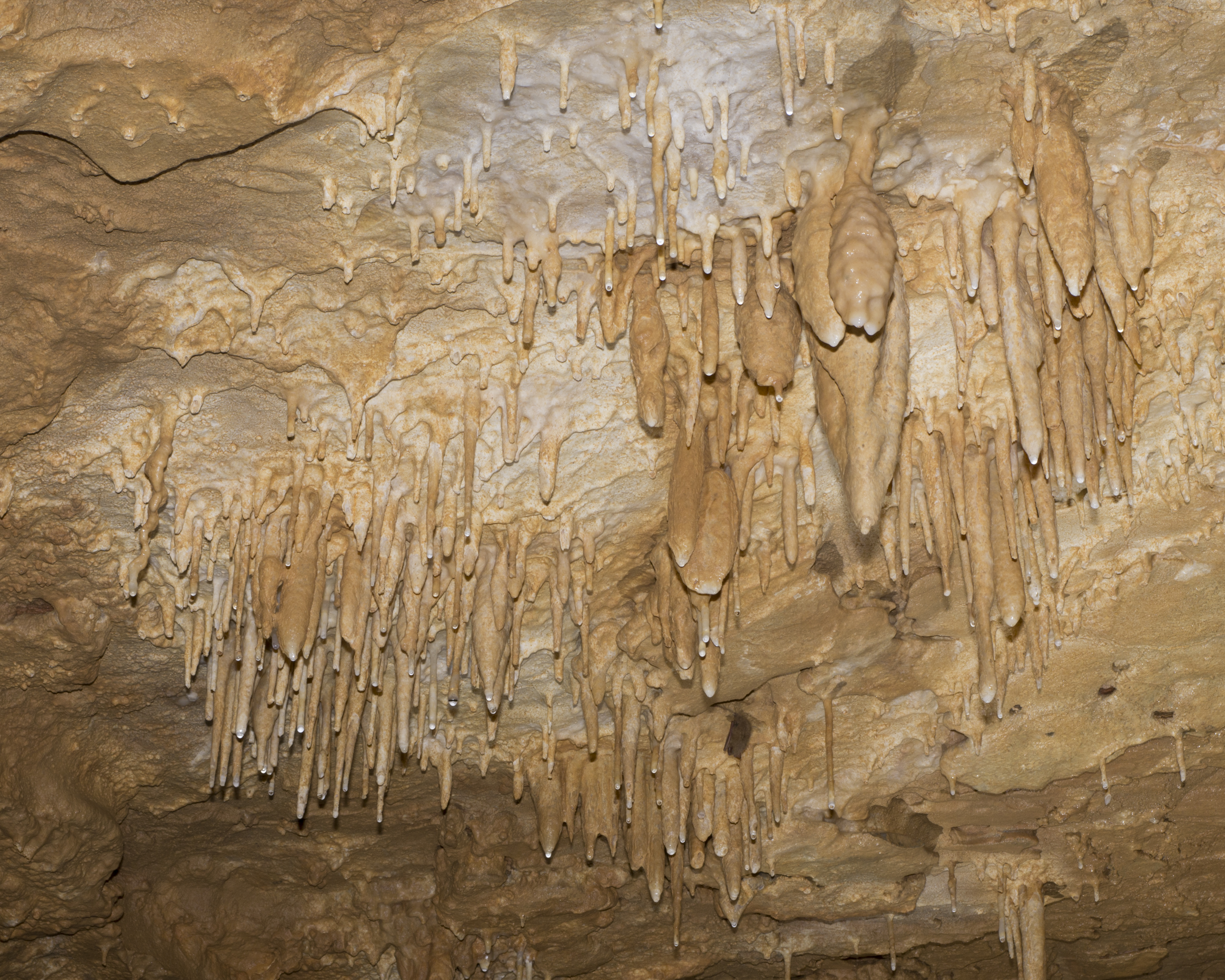
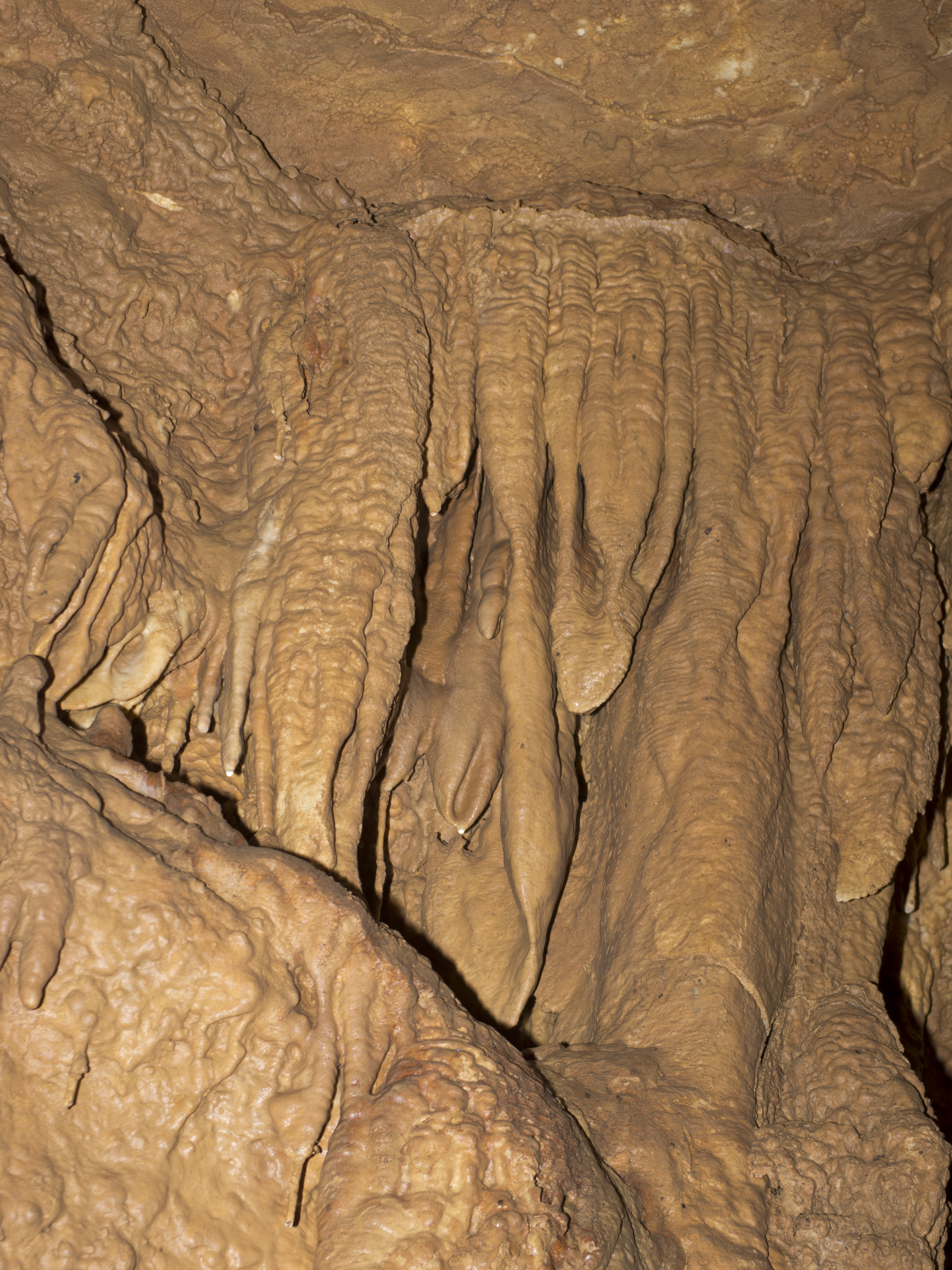
Related Photos:
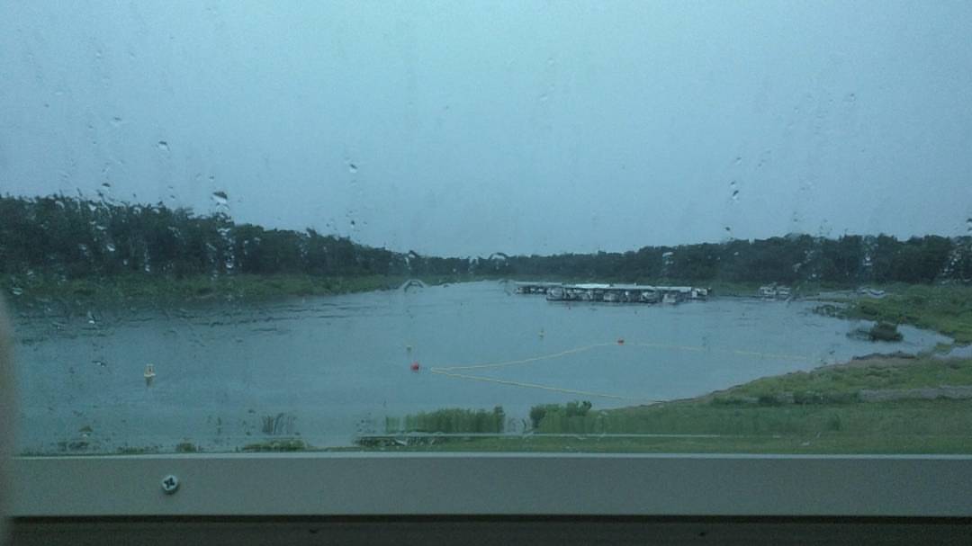
Current camper view. Rainy afternoon. Perfect for a nap before I cook some fresh caught trout. #camping #rain #naptime #awesomeday #binkysadventures #binkyvacation2016

This view...and my fat head ruining it. #arkansas #peelarkansas #camping #view #selfie #bigshoalslake #binkysadventures #binkyvacation2016
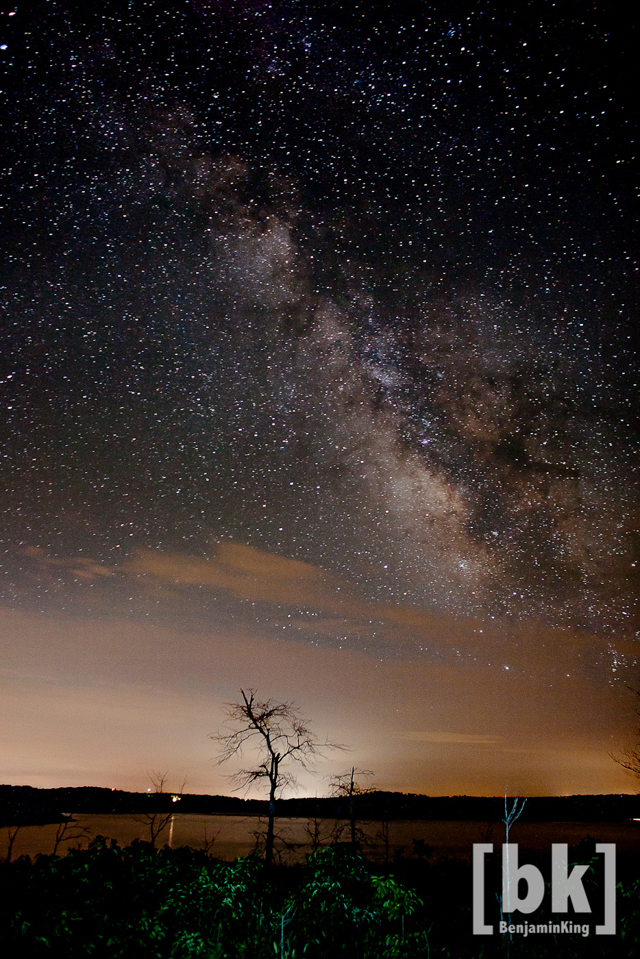
Night Sky over Bull Shoals
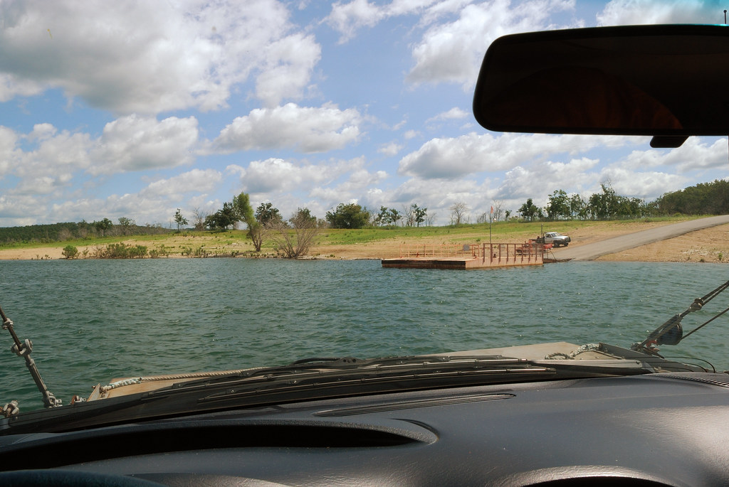
Final approach

IMG_4465

DJT_1283

DJT_1082

DJT_1247
DJT_0939

IMG_4276
IMGP1335

DJT_1250

DJT_1215

DJT_1167
IMG_4261
DJT_1044
DJT_0951

DJT_1248

IMG_4226
DJT_1113
DJT_1111

IMG_4436

DJT_1412

DJT_1075
DJT_1110
Topographic Map of AR-, Peel, AR, USA
Find elevation by address:

Places near AR-, Peel, AR, USA:
Peel
Franklin Township
County Road 8041
3061 Co Rd 8041
Peel, AR, USA
196 Matherly Rd
146 Sandlewood Ln
Marion County
571 Wilderness Ln
2027 Mc 3057
North Joe Burleson Township
191 Beachwood St
24 Roundrock Ln
Snow
Bull Shoal-white River State Park
Jasper Township
Highway 14 West
Yellville
Flippin
334 Co Rd 704
Recent Searches:
- Elevation of Eldorado do Sul - RS, Brazil
- Elevation of Eldorado do Sul - Parque Eldorado, Eldorado do Sul - RS, -, Brazil
- Elevation of 35 Governors Ln, Hilton Head Island, SC, USA
- Elevation of Orangevale, CA, USA
- Elevation of Doe Cir, Clinton, OH, USA
- Elevation of Narhe, Pune, Maharashtra, India
- Elevation of Martins Mill Ct, Eagle Rock, NC, USA
- Elevation of Kippen, Stirling FK8, UK
- Elevation of Sieveringer Straße, Sieveringer Str., Wien, Austria
- Elevation of Bratskaya Ulitsa, 24, Kurgan, Kurganskaya oblast', Russia